Cayton

Civil Parish in Yorkshire Scarborough

England

Cayton

Cayton, Methodist church The benchmark is cut into the stone course, and is partially hidden by the shrubbery.
Cayton, Methodist church Credit: Mel Towler

Cayton is a civil parish located in the Scarborough district of North Yorkshire, England. It is situated about 5 miles south of Scarborough town and is bordered by the North Sea to the east. The parish covers an area of approximately 10 square miles and has a population of around 2,000 residents.

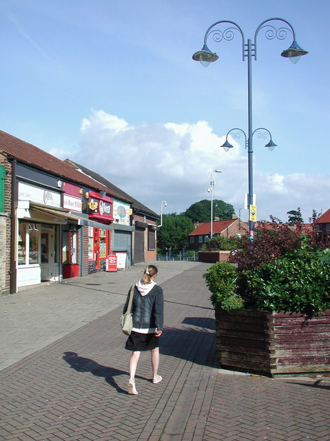
The village of Cayton is the main settlement within the parish and is a popular residential area due to its proximity to Scarborough and the beautiful surrounding countryside. The village is well-served with amenities, including a primary school, a post office, a few local shops, and a public house. It also has good transport links, with regular bus services connecting it to Scarborough and other nearby towns.

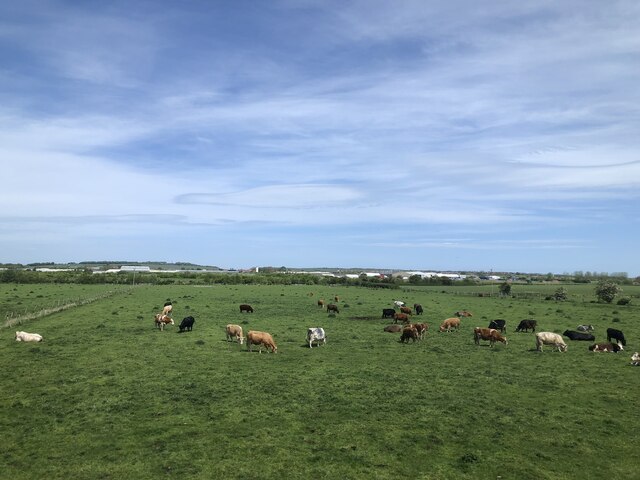
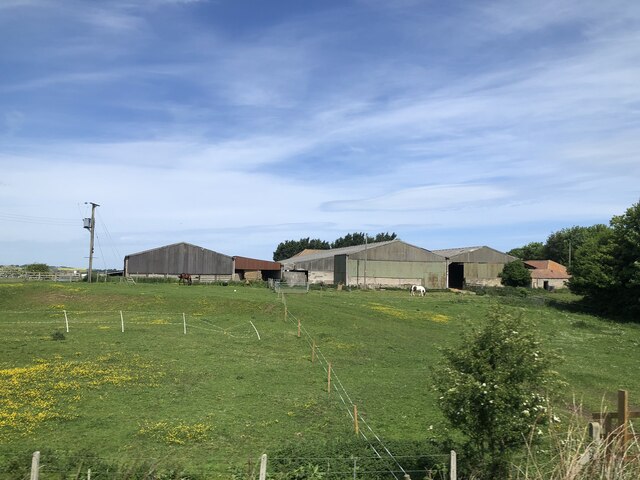
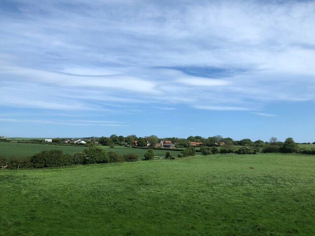
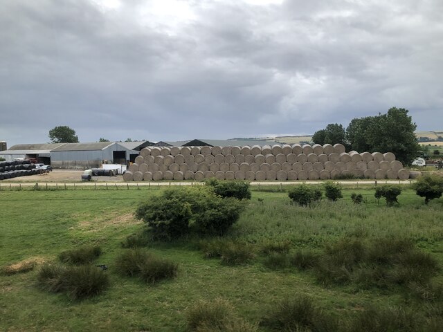
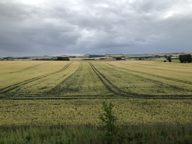
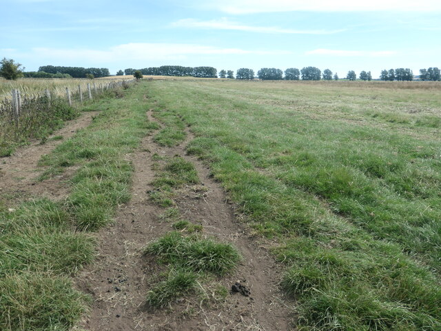
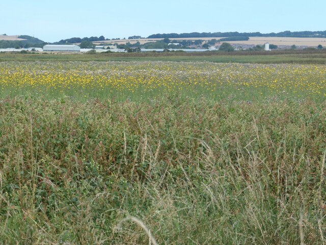
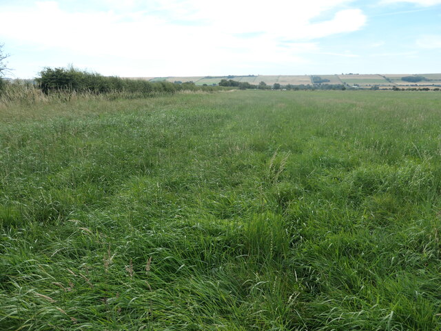
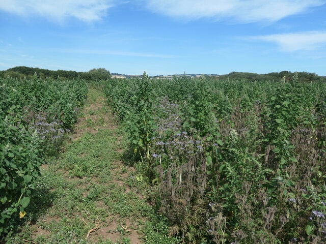
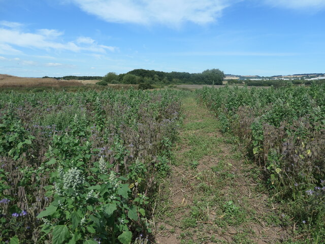
The parish is known for its picturesque landscape, which includes rolling hills, farmland, and stunning coastal scenery. Cayton Bay, a popular beach destination, attracts visitors from far and wide, particularly during the summer months. The bay offers a wide sandy beach and is a hotspot for water sports enthusiasts, with activities such as surfing and paddleboarding available.

Cayton is also home to a number of historical landmarks, including the grade II listed Cayton Hall, a 17th-century manor house with beautiful gardens. Additionally, the parish has several ancient burial mounds and other archaeological sites, providing evidence of human settlement in the area dating back thousands of years.

Overall, Cayton offers a charming mix of natural beauty, modern amenities, and a rich history, making it an attractive place to live or visit in North Yorkshire.

If you have any feedback on the listing, please let us know in the comments section below.
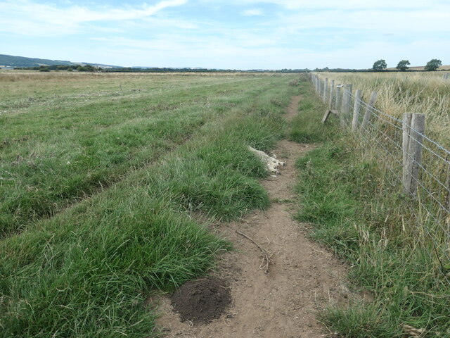
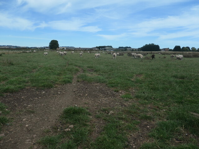
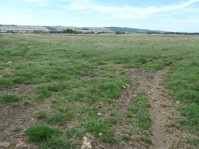
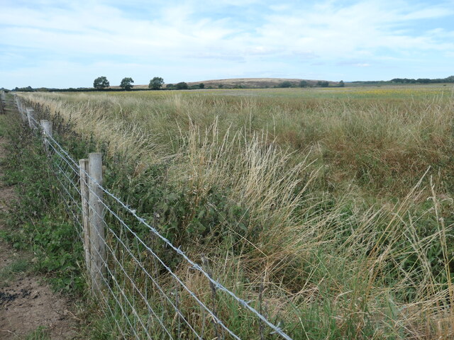
Cayton Images

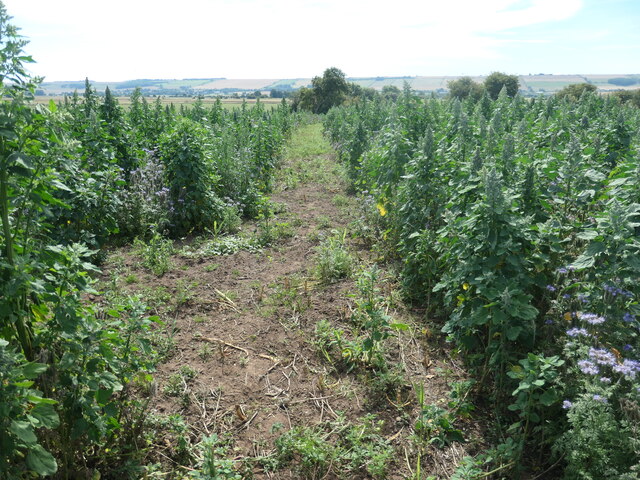
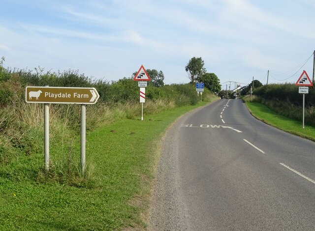
Images are sourced within 2km of 54.228592/-0.381104 or Grid Reference TA0582. Thanks to Geograph Open Source API. All images are credited.

Cayton, Methodist church The benchmark is cut into the stone course, and is partially hidden by the shrubbery.
Cayton, Methodist church
The benchmark is cut into the stone course, and is partially hidden by the shrubbery.
Cattle near Seamer
Cattle near Seamer
Carr House Farm
Carr House Farm
View to Lebberston Looking across farmland to Lebberston from the Scarborough - Hull railway
View to Lebberston
Looking across farmland to Lebberston from the Scarborough - Hull railway
Hay bales at Mayville Dairy Farm
Farmland near Killerby
Boyes yard, Cayton
Boyes yard, Cayton
Bridleway to Osgodby Carr Heading north-east, across the former Lake Pickering.
Bridleway to Osgodby Carr
Heading north-east, across the former Lake Pickering.
Dead sheep near Deepdale Carr Alongside a public bridleway.
Dead sheep near Deepdale Carr
Alongside a public bridleway.
Sheep on Osgodby Carr, south of Grove Farm I had intended to follow the public bridleway across this field to Grove Farm and Carr House Lane, but the sheep did not like a walker among them, so I turned back.
Sheep on Osgodby Carr, south of Grove Farm
I had intended to follow the public bridleway across this field to Grove Farm and Carr House Lane, but the sheep did not like a walker among them, so I turned back.
The Carrs, between Cayton and Flixton Looking south, towards the north scarp of the Yorkshire Wolds. This farmland was once under water, when ice age glaciers blocked the route to the sea and created Lake Pickering. When the ice retreated the water flowed west and south, ultimately into the Humber.
The Carrs, between Cayton and Flixton
Looking south, towards the north scarp of the Yorkshire Wolds. This farmland was once under water, when ice age glaciers blocked the route to the sea and created Lake Pickering. When the ice retreated the water flowed west and south, ultimately into the Humber.
Deepdale Carr Looking north-west from the public bridleway. This farmland was once under water, when ice age glaciers blocked the route to the sea and created Lake Pickering.
Deepdale Carr
Looking north-west from the public bridleway. This farmland was once under water, when ice age glaciers blocked the route to the sea and created Lake Pickering.
Yellow flowers, Deepdale Carr Looking north towards Seamer.
Yellow flowers, Deepdale Carr
Looking north towards Seamer.
Seamer Meads, south of Manham Hill Part of The Carrs farmland, an extensive and heavily-drained former lake.
Seamer Meads, south of Manham Hill
Part of The Carrs farmland, an extensive and heavily-drained former lake.
Public footpath on Manham Hill Heading to the summit of 30 metres above sea level.
Public footpath on Manham Hill
Heading to the summit of 30 metres above sea level.
View north-west from the summit of Manham Hill Towards Seamer, and just east of Seamer's landfill site.
View north-west from the summit of Manham Hill
Towards Seamer, and just east of Seamer's landfill site.
Public footpath across Manham Hill Looking south from the 30 metre summit.
Public footpath across Manham Hill
Looking south from the 30 metre summit.
Carr Lane Looking north on National Cycle Route 1.
Carr Lane
Looking north on National Cycle Route 1.
Show me another place!

Cayton is located at Grid Ref: TA0582 (Lat: 54.228592, Lng: -0.381104)

Division: North Riding

Administrative County: North Yorkshire

District: Scarborough

Police Authority: North Yorkshire

What 3 Words

///dressings.majority.basket. Near Scarborough, North Yorkshire

Nearby Locations

Cayton

Related Wikis

Cayton railway station

Cayton railway station was a minor railway station serving the village of Cayton on the Yorkshire Coast Line from Scarborough to Hull and was opened on...

Cayton

Cayton is a village and civil parish in the Scarborough borough of North Yorkshire, England, 4 miles (6 km) south of Scarborough. == History == Cayton...

George Pindar School

George Pindar School is a coeducational secondary school in Eastfield, Scarborough in North Yorkshire, England. It was previously named George Pindar Community...

Eastfield, North Yorkshire

Eastfield is a town and civil parish in North Yorkshire, England. It was granted town status in January 2016. It is directly south of Scarborough and is...

Nearby Amenities

Located within 500m of 54.228592,-0.381104
Cayton
Historic Railway: station
Railway: site
Source: npe
Lat/Long: 54.2271755/-0.3769942
Cayton LC
Railway: level_crossing
Lat/Long: 54.227077/-0.3780675
Barrier: bollard
Lat/Long: 54.2297366/-0.3786279
Waste Basket
Waste: dog_excrement
Lat/Long: 54.2323351/-0.3803481
Bus Stop
Bus: yes
Public Transport: platform
Lat/Long: 54.2323419/-0.380494
Waste Basket
Waste: dog_excrement
Lat/Long: 54.2300982/-0.378939
Waste Basket
Waste: dog_excrement
Lat/Long: 54.2302923/-0.3802845
Waste Basket
Waste: dog_excrement
Lat/Long: 54.2310272/-0.3797786
Waste Basket
Waste: dog_excrement
Lat/Long: 54.2305469/-0.3788365
Waste Basket
Waste: dog_excrement
Lat/Long: 54.2314844/-0.3756876
Waste Basket
Waste: dog_excrement
Lat/Long: 54.2300671/-0.3808347
Crossing
Lat/Long: 54.2313265/-0.3797148
Defibrillator
Defibrillator Location: On exterior wall, facing playing fields, on RH side of building, under CCTV pole.
Emergency: defibrillator
Indoor: no
Lat/Long: 54.2311399/-0.3760066
The data included in this document is from www.openstreetmap.org. The data is made available under ODbL.

Have you been to Cayton?

Leave your review of Cayton below (or comments, questions and feedback).