Caxton

Civil Parish in Cambridgeshire South Cambridgeshire

England

Caxton

Road to Pastures Farm, Caxton, Cambridgeshire
Road to Pastures Farm, Caxton, Cambridgeshire Credit: Martin John Bishop

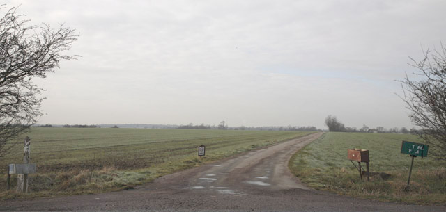
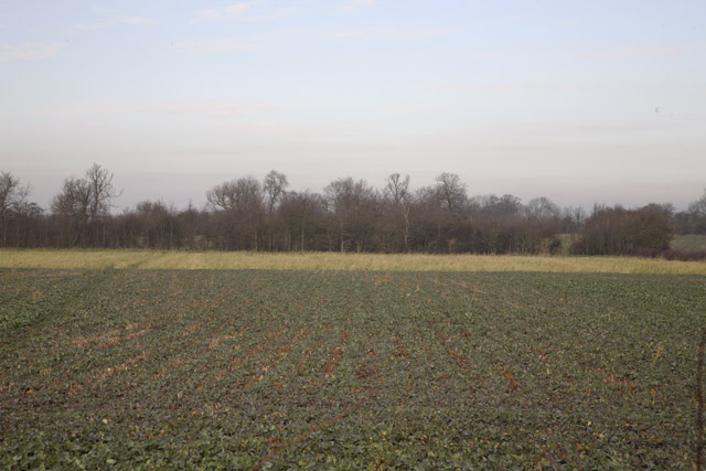
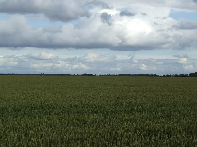
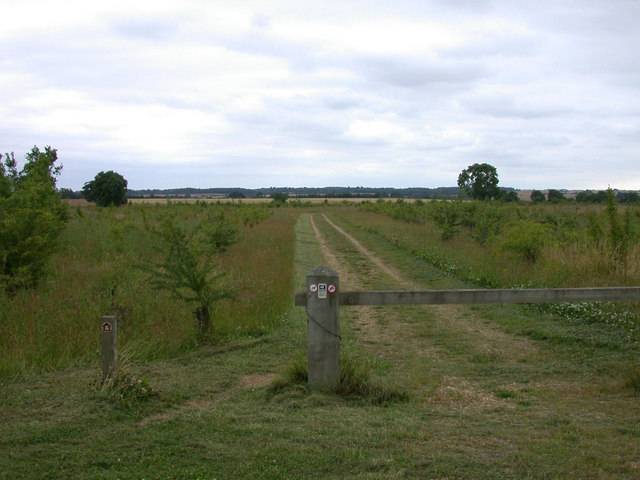
Caxton is a civil parish located in the county of Cambridgeshire, England. It is situated about 9 miles west of Cambridge and covers an area of approximately 2.5 square miles. The parish is mainly rural, with a scattering of houses and farms surrounded by open countryside.

The history of Caxton can be traced back to the medieval period, and it is believed that a settlement has existed in the area since at least the 11th century. The village is named after William Caxton, who was born in the area and became England's first printer. There is a memorial to him in the village, commemorating his contribution to the field of printing.

Despite its small size, Caxton has a rich community life. It has a village hall that serves as a hub for various social activities and events, including meetings, clubs, and celebrations. The village also has a primary school, which provides education for the local children.

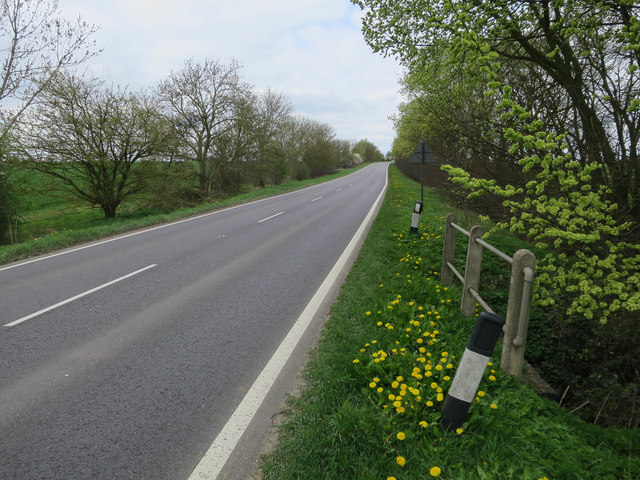
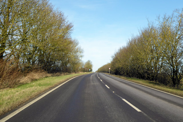
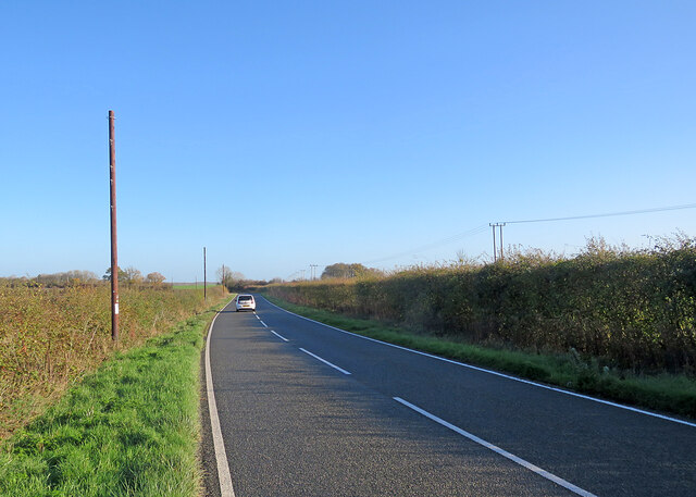
The surrounding countryside offers plenty of opportunities for outdoor activities, such as walking, cycling, and horse riding. The village is also located near the A428 road, providing easy access to nearby towns and cities.

In summary, Caxton is a rural civil parish in Cambridgeshire with a rich history and a close-knit community. Its picturesque location and proximity to Cambridge make it an attractive place to live for those seeking a peaceful countryside lifestyle.

If you have any feedback on the listing, please let us know in the comments section below.

Caxton Images

Images are sourced within 2km of 52.207175/-0.098011 or Grid Reference TL3058. Thanks to Geograph Open Source API. All images are credited.

Road to Pastures Farm, Caxton, Cambridgeshire
House, Caxton, Cambridgeshire
Hardwick Farm, Great Gransden, Cambridgeshire Oil-seed rape, then grass with a shelter belt beyond.
Hardwick Farm, Great Gransden, Cambridgeshire
Oil-seed rape, then grass with a shelter belt beyond.
Caxton Road at Common Farm, Great Gransden, Cambridgeshire The notice reads COMMON FARM but there is very little contrast so it is hardly legible.
Caxton Road at Common Farm, Great Gransden, Cambridgeshire
The notice reads COMMON FARM but there is very little contrast so it is hardly legible.
Firs Farm - Pig unit
Flat wheat fields between Eltisley and Caxton
Caxton: fog and a footpath The path links Caxton Road and St Peter's Street. St Andrew's Church was lost in the mist on a dank autumn morning.
Caxton: fog and a footpath
The path links Caxton Road and St Peter's Street. St Andrew's Church was lost in the mist on a dank autumn morning.
A1198 to Caxton Gibbet
A1198, Ermine Street, northbound A Roman road.
A1198, Ermine Street, northbound
A Roman road.
On Caxton Drift
On Caxton Drift
On Caxton Drift
On Caxton Drift
Gransden Road
Gransden Road
Beside Hardwicke Farm
Approaching Caxton on Gransden Road Half past eleven on a cloudless morning in late November.
Approaching Caxton on Gransden Road
Half past eleven on a cloudless morning in late November.
Copse and cables East of the road from the Gransdens to Caxton (left), on a cloudless late-November morning.
Copse and cables
East of the road from the Gransdens to Caxton (left), on a cloudless late-November morning.
On Caxton Road in November This is the road from the Gransdens to Caxton (ahead), just east of Hardwicke Villa.
On Caxton Road in November
This is the road from the Gransdens to Caxton (ahead), just east of Hardwicke Villa.
Near Hardwicke Villa Caxton Road on a cloudless November morning. To the left of Hardwicke Villa (just in <a href="https://www.geograph.org.uk/gridref/TL2856">TL2856</a>) the white concrete drum of <a href="https://www.geograph.org.uk/photo/7349455">TL2756 : Great Gransden Water Tower</a> shows in the distance above the hedge.
Near Hardwicke Villa
Caxton Road on a cloudless November morning. To the left of Hardwicke Villa (just in TL2856) the white concrete drum of TL2756 : Great Gransden Water Tower shows in the distance above the hedge.
On Gransden Road in November I was cycling to Great Gransden (and had stopped on the verge to take a photo), the oncoming car heading for Caxton.
On Gransden Road in November
I was cycling to Great Gransden (and had stopped on the verge to take a photo), the oncoming car heading for Caxton.
Show me another place!

Caxton is located at Grid Ref: TL3058 (Lat: 52.207175, Lng: -0.098011)

Administrative County: Cambridgeshire

District: South Cambridgeshire

Police Authority: Cambridgeshire

What 3 Words

///fonts.boldest.obliging. Near Cambourne, Cambridgeshire

Nearby Locations

Caxton Caxton

Related Wikis

Caxton, Cambridgeshire

Caxton is a small rural village and civil parish in the South Cambridgeshire district of Cambridgeshire, England. It is 9 miles west of the county town...

Bourn Windmill

Bourn Windmill is an open trestle post mill at Bourn in Cambridgeshire, England, which was standing in 1636. It is a Grade I Listed building and a Scheduled...

Cambourne Nature Reserve

Cambourne Nature Reserve is a 90 hectare nature reserve in Cambourne in Cambridgeshire. It is managed by the Wildlife Trust for Bedfordshire, Cambridgeshire...

Midsummer House

Midsummer House is a restaurant located in Cambridge, Cambridgeshire, England, on the bank of the river Cam. It is a Victorian style house that was transformed...

Cambourne Village College

Cambourne Village College is a mixed secondary school located in Cambourne, Cambridgeshire, England. It is a free school that opened in 2013, and is part...

Cambourne

Cambourne is a new settlement and civil parish in Cambridgeshire, England, in the district of South Cambridgeshire. It lies on the A428 road between Cambridge...

Caxton Gibbet

Caxton Gibbet is a small knoll on Ermine Street (now the A1198) in England, running between London and Huntingdon, near its crossing with the road (now...

Cambourne Church

Cambourne Church is a "local ecumenical partnership" between the Church of England, Baptist Union of Great Britain, Methodist Church of Great Britain and...

Nearby Amenities

Located within 500m of 52.207175,-0.098011
Caxton
Is In: Cambridgeshire, England, UK
Place: village
Population: 520
Source Population: http://www.scambs.gov.uk/CommunityandLiving/VillageServicesAndAmenities/
Wikidata: Q4902358
Lat/Long: 52.2060215/-0.0949563
Turning Circle
Lat/Long: 52.2045451/-0.0967992
Ford: yes
Lat/Long: 52.2075717/-0.0979512
Post Box
Collection Times: Mo-Fr 16:15; Sa 10:30
Operator: Royal Mail
Post Box Design: type_k
Post Box Type: pillar
Ref: CB23 261
Royal Cypher: EIIR
Royal Cypher Wikidata: Q33102113
Source: survey
Lat/Long: 52.2055794/-0.0929511
Church Farm
Landuse: farm
Note Retag: CS #48756035
Lat/Long: 52.2036174/-0.0994504
Bus Stop
King's Gate
Naptan AtcoCode: 0500SCAXT002
Naptan Bearing: N
Naptan BusStopType: CUS
Naptan CommonName: King's Gate
Naptan Indicator: near
Naptan Landmark: King's Gate
Naptan NaptanCode: cmbdtwpg
Naptan ShortCommonName: King's Gate
Naptan Street: Ermine Street
Naptan Verified: no
Source: naptan_import
Lat/Long: 52.2088765/-0.0941378
Bus Stop
Bourn Road
Naptan AtcoCode: 0500SCAXT004
Naptan Bearing: S
Naptan CommonName: Bourn Road
Naptan Indicator: near
Naptan Landmark: Bourn Road
Naptan NaptanCode: cmbdtwpj
Naptan ShortCommonName: Bourn Road
Naptan Street: Ermine Street
Naptan Verified: no
Source: naptan_import
Wheelchair: yes
Lat/Long: 52.2055112/-0.0922746
Bus Stop
Bourn Road
Naptan AtcoCode: 0500SCAXT006
Naptan Bearing: N
Naptan BusStopType: CUS
Naptan CommonName: Bourn Road
Naptan Indicator: opp
Naptan Landmark: Bourn Road
Naptan NaptanCode: cmbdtwpt
Naptan ShortCommonName: Bourn Road
Naptan Street: Ermine Street
Naptan Verified: no
Source: naptan_import
Lat/Long: 52.2054966/-0.0924801
Bus Stop
King's Gate
Naptan AtcoCode: 0500SCAXT007
Naptan Bearing: S
Naptan CommonName: King's Gate
Naptan Indicator: opp
Naptan Landmark: King's Gate
Naptan NaptanCode: cmbdtwpw
Naptan ShortCommonName: King's Gate
Naptan Street: Ermine Street
Naptan Verified: no
Source: naptan_import
Lat/Long: 52.2088929/-0.0939886
Power: pole
Lat/Long: 52.2035924/-0.0971874
Power: pole
Lat/Long: 52.2032087/-0.0972529
Power: pole
Lat/Long: 52.2096693/-0.0926784
Power: pole
Lat/Long: 52.2091943/-0.0916404
Historic: memorial
Memorial: war_memorial
Lat/Long: 52.2056392/-0.092619
Milestone
Historic: milestone
Note: Huntingdon 9, London 50, Royston 12
Wikidata: Q26616319
Lat/Long: 52.2110055/-0.09517
The data included in this document is from www.openstreetmap.org. The data is made available under ODbL.

Have you been to Caxton?

Leave your review of Caxton below (or comments, questions and feedback).