Catcliffe
Civil Parish in Yorkshire Rotherham
England
Catcliffe
Catcliffe is a civil parish located in the metropolitan borough of Rotherham, in South Yorkshire, England. It is situated approximately 4 miles southeast of the town of Rotherham and about 6 miles northeast of Sheffield. The village of Catcliffe sits on the banks of the River Rother, which flows through the area.
Catcliffe is a predominantly residential area with a mix of housing styles, including terraced houses, semi-detached properties, and some newer developments. The village has a population of around 2,000 people according to the latest census.
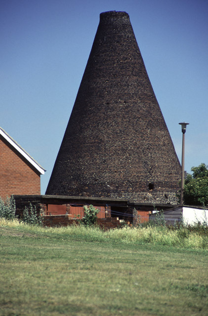
Historically, Catcliffe was known for its pottery industry, which began in the 18th century. The area produced a distinctive type of pottery known as "Rockingham ware." Although the pottery industry has declined over the years, remnants of the old pottery kilns can still be seen in the village.
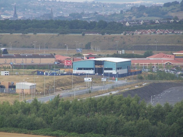
The village is well-connected by road, with easy access to the M1 motorway and the A630 Sheffield Parkway. There are also regular bus services that connect Catcliffe to neighboring towns and cities.
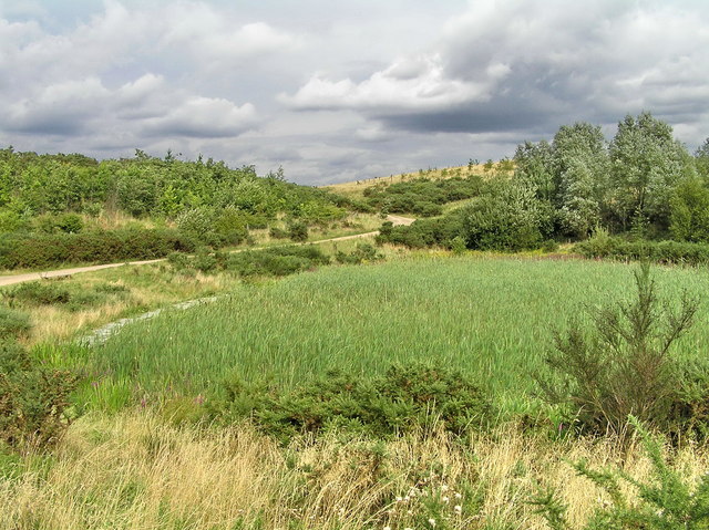
Catcliffe boasts several amenities for its residents, including a primary school, a community center, and a local convenience store. The village also has several green spaces, including Catcliffe Recreation Ground, which offers a play area and open fields for recreational activities.
Overall, Catcliffe is a small but thriving community with a rich history and a range of amenities, making it an attractive place to live for families and professionals alike.
If you have any feedback on the listing, please let us know in the comments section below.
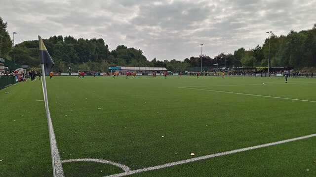
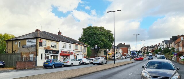
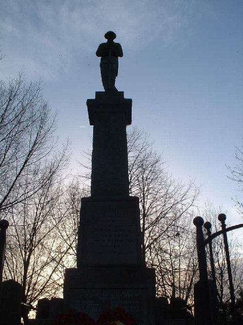
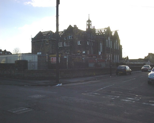
Catcliffe Images
Images are sourced within 2km of 53.38893/-1.373497 or Grid Reference SK4188. Thanks to Geograph Open Source API. All images are credited.


Catcliffe is located at Grid Ref: SK4188 (Lat: 53.38893, Lng: -1.373497)
Division: West Riding
Administrative County: South Yorkshire
District: Rotherham
Police Authority: South Yorkshire
What 3 Words
///joke.woods.after. Near Orgreave, South Yorkshire
Nearby Locations
Related Wikis
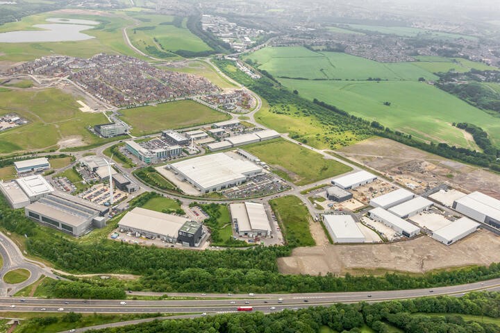
Advanced Manufacturing Park
The Advanced Manufacturing Park (AMP) is a 150-acre (61 ha) manufacturing technology park in Waverley, Rotherham, South Yorkshire, England. It was partly...

Waverley, South Yorkshire
Waverley is a civil parish in the Metropolitan Borough of Rotherham in the southeastern part of the county of South Yorkshire, England. It is situated...
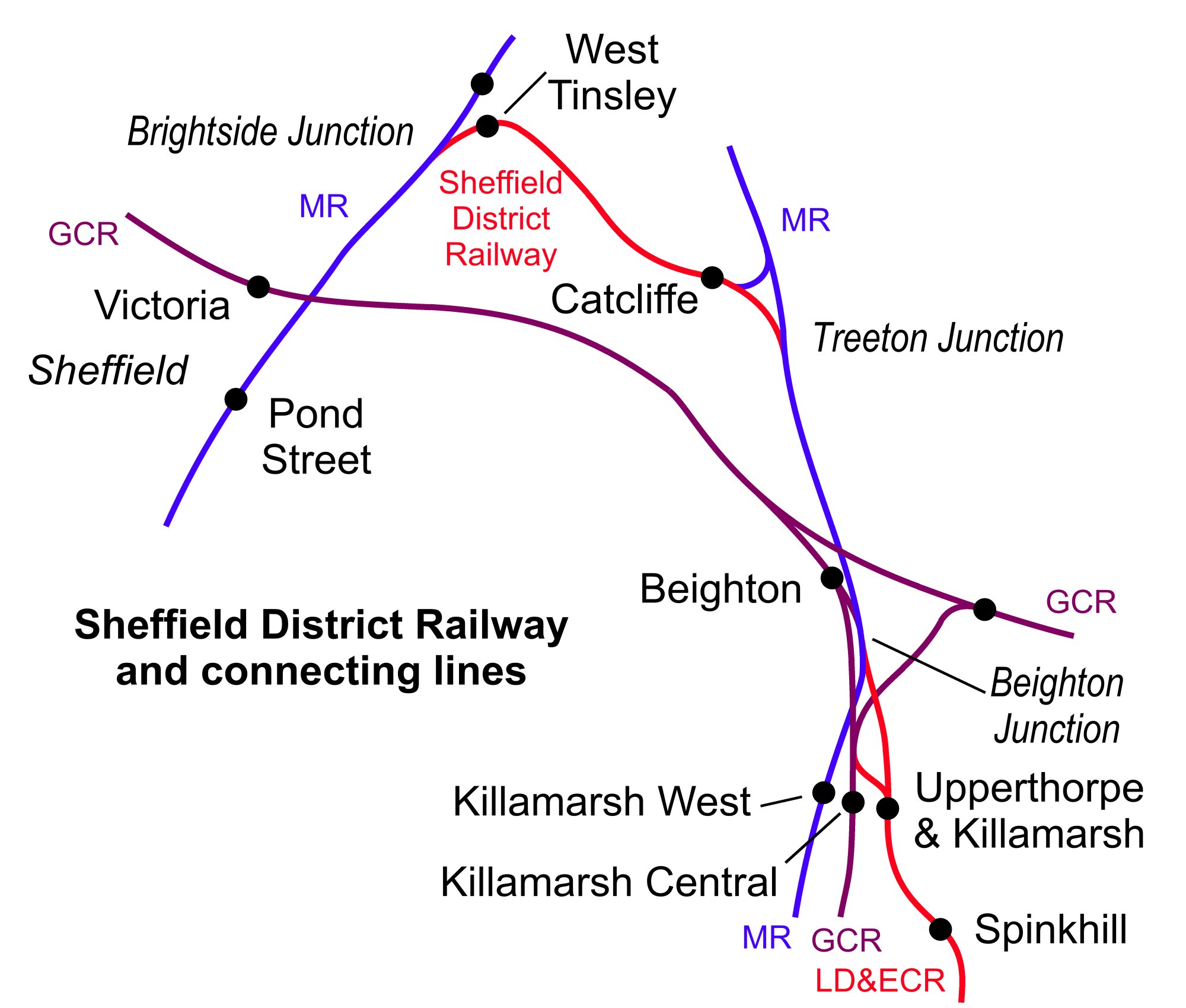
Catcliffe railway station
Catcliffe railway station is a former railway station in the Catcliffe area of Rotherham, South Yorkshire, England. == History == The station was located...

Tinsley Motive Power Depot
Tinsley Motive Power Depot, latterly Tinsley Traction Maintenance Depot (TMD), was a railway depot in Tinsley, South Yorkshire, near Sheffield. Access...
Nearby Amenities
Located within 500m of 53.38893,-1.373497Have you been to Catcliffe?
Leave your review of Catcliffe below (or comments, questions and feedback).