Castle Sowerby

Civil Parish in Cumberland Eden

England

Castle Sowerby

Steep Cliffs Use Path Footpath Sign
Steep Cliffs Use Path Footpath Sign Credit: thejackrustles

Castle Sowerby is a civil parish located in the county of Cumberland, England. It is situated approximately 10 miles northwest of the city of Carlisle and is part of the Allerdale district. The parish covers an area of about 8 square miles and has a population of around 300 people.

The main feature of Castle Sowerby is the historic Castle Sowerby House, a 16th-century mansion that was once the seat of the Sowerby family. The house is a Grade II listed building and is known for its impressive architecture and picturesque surroundings. It is privately owned and not open to the public.

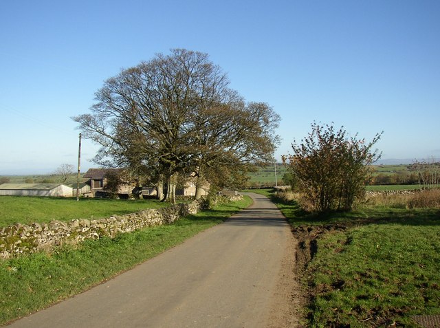
The landscape of Castle Sowerby is characterized by rolling hills, fertile farmland, and scattered woodlands. The parish is home to a number of farms, with agriculture being the predominant industry in the area. The local economy also benefits from tourism, with visitors attracted to the rural charm and historical significance of Castle Sowerby.

In terms of amenities, Castle Sowerby has a small village hall that serves as a community hub for local events and gatherings. There are no shops or schools within the parish, with residents relying on nearby towns for their daily needs.

Overall, Castle Sowerby is a tranquil and picturesque civil parish that offers a glimpse into the rich history and natural beauty of the Cumberland countryside.

If you have any feedback on the listing, please let us know in the comments section below.

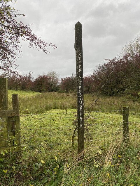
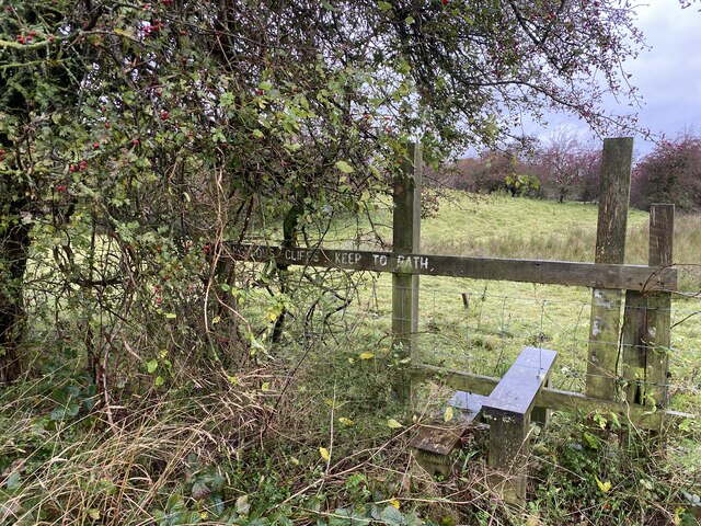
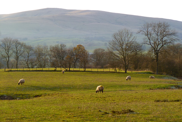
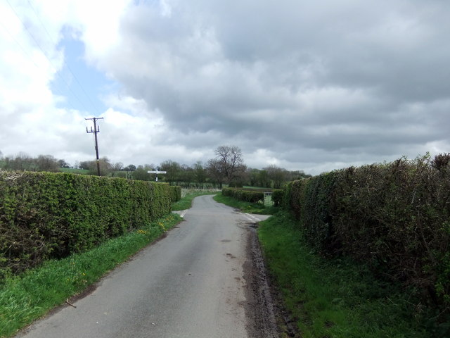
Castle Sowerby Images

Images are sourced within 2km of 54.72583/-2.974664 or Grid Reference NY3737. Thanks to Geograph Open Source API. All images are credited.

Steep Cliffs Use Path Footpath Sign
Stile into open access land
Lonning Head A quick shot during a break in the rain!
Lonning Head
A quick shot during a break in the rain!
Field with barn north of Lonning Foot A minor road passes the buildings at Lonning Foot and from it, over the cattle grid, a lane with a footpath descends towards Haltcliff Hall passing the barn in the image which is at Low Row .
Field with barn north of Lonning Foot
A minor road passes the buildings at Lonning Foot and from it, over the cattle grid, a lane with a footpath descends towards Haltcliff Hall passing the barn in the image which is at Low Row .
St Kentigern’s Church Castle Sowerby –
Millhouse, Castle Sowerby A view over the hamlet from the footpath to Halfcliff Hall.
Millhouse, Castle Sowerby
A view over the hamlet from the footpath to Halfcliff Hall.
Pasture, Castle Sowerby A view across the Caldew valley from the footpath south of Wharton House. Carrock Fell and High Pike are in the background.
Pasture, Castle Sowerby
A view across the Caldew valley from the footpath south of Wharton House. Carrock Fell and High Pike are in the background.
Pasture, Castle Sowerby On the footpath to the east of Leavy Holme.
Pasture, Castle Sowerby
On the footpath to the east of Leavy Holme.
Pasture, Castle Sowerby Beside the footpath between the church and Wharton House.
Pasture, Castle Sowerby
Beside the footpath between the church and Wharton House.
Pasture, Castle Sowerby With High Pike in the background.
Pasture, Castle Sowerby
With High Pike in the background.
Crossroads near Bankend
The lane to Hesket Newmarket
The lane to Hesket Newmarket This lane turns right in about 150 metres. The narrower lane ahead (a cul-de-sac) goes to Sowerby Hall and Castle Sowerby church.
The lane to Hesket Newmarket
This lane turns right in about 150 metres. The narrower lane ahead (a cul-de-sac) goes to Sowerby Hall and Castle Sowerby church.
The lane to Hesket Newmarket
Junction east of Hesket Newmarket For Castle Sowerby church see <a href="https://www.geograph.org.uk/gridref/NY3836">NY3836</a>.
Junction east of Hesket Newmarket
For Castle Sowerby church see NY3836.
Rough grazing near Brick Houses
The lane to Hewer Hill
Farmland above Castle How
Show me another place!

Castle Sowerby is located at Grid Ref: NY3737 (Lat: 54.72583, Lng: -2.974664)

Administrative County: Cumbria

District: Eden

Police Authority: Cumbria

What 3 Words

///pavement.height.daunted. Near Dalston, Cumbria

Nearby Locations

Castle Sowerby

Related Wikis

Nearby Amenities

Located within 500m of 54.72583,-2.974664
Power: pole
Lat/Long: 54.7279918/-2.9805481
Power: pole
Lat/Long: 54.7278328/-2.9791046
Power: pole
Lat/Long: 54.7276738/-2.9776611
Power: pole
Lat/Long: 54.7275019/-2.976043
Power: pole
Lat/Long: 54.7273344/-2.9745405
Power: pole
Lat/Long: 54.7267607/-2.9739257
Power: pole
Lat/Long: 54.7260606/-2.9731782
Power: pole
Lat/Long: 54.7254939/-2.9725462
Power: pole
Lat/Long: 54.7247725/-2.9717912
Power: pole
Lat/Long: 54.7237656/-2.9707338
Power: pole
Lat/Long: 54.7229433/-2.9698461
Power: pole
Lat/Long: 54.7295901/-2.9726187
Power: pole
Lat/Long: 54.72889/-2.9732163
Power: pole
Lat/Long: 54.7282169/-2.9737745
Power: pole
Lat/Long: 54.7282382/-2.9723409
The data included in this document is from www.openstreetmap.org. The data is made available under ODbL.

Have you been to Castle Sowerby?

Leave your review of Castle Sowerby below (or comments, questions and feedback).