Castle Donington
Civil Parish in Leicestershire North West Leicestershire
England
Castle Donington
Castle Donington is a civil parish located in the county of Leicestershire, England. Situated on the banks of the River Trent, it is approximately 20 miles south of Nottingham and 13 miles southwest of Derby. The parish covers an area of around 10 square miles and is home to a population of approximately 8,000 residents.
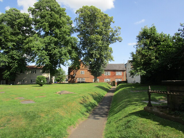
The village of Castle Donington has a rich history dating back to the medieval period. It is named after the 12th-century Donington Castle, which was located nearby but is now in ruins. The village itself has a charming, traditional English character with many well-preserved period buildings and a picturesque main street lined with shops, pubs, and restaurants.
One of the notable landmarks in Castle Donington is the All Saints Church, a striking medieval building with a tall spire that dominates the village skyline. The church dates back to the 14th century and is known for its beautiful stained glass windows and intricate carvings.
Castle Donington also has strong links to the aviation industry. The East Midlands Airport, one of the busiest airports in the UK, is located within the parish boundaries. The airport has a significant impact on the local economy and provides employment opportunities for many residents.
In addition to its historical and aviation significance, Castle Donington hosts various events throughout the year, including the famous Download Festival, a major rock music event that attracts thousands of visitors from around the world.
Overall, Castle Donington is a charming village with a rich history, picturesque surroundings, and a thriving aviation industry.
If you have any feedback on the listing, please let us know in the comments section below.
Castle Donington Images
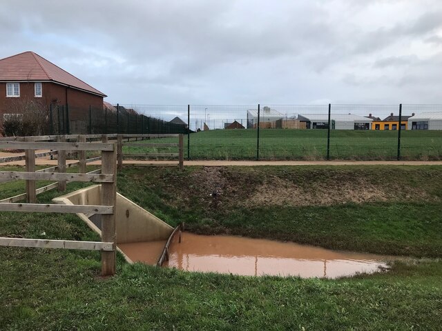
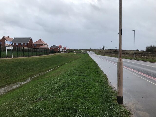
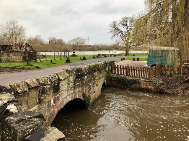
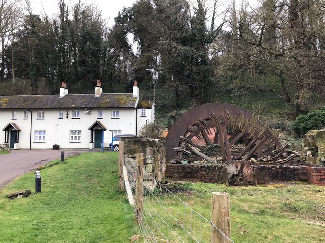
Images are sourced within 2km of 52.841148/-1.35528 or Grid Reference SK4327. Thanks to Geograph Open Source API. All images are credited.


Castle Donington is located at Grid Ref: SK4327 (Lat: 52.841148, Lng: -1.35528)
Administrative County: Leicestershire
District: North West Leicestershire
Police Authority: Leicestershire
What 3 Words
///rolled.rectangular.demoted. Near Castle Donington, Leicestershire
Nearby Locations
Related Wikis

Castle Donington Power Station
Castle Donington Power Station was a coal-fired power station situated on the River Trent near Castle Donington, Leicestershire, 5 miles (8.0 km) south...
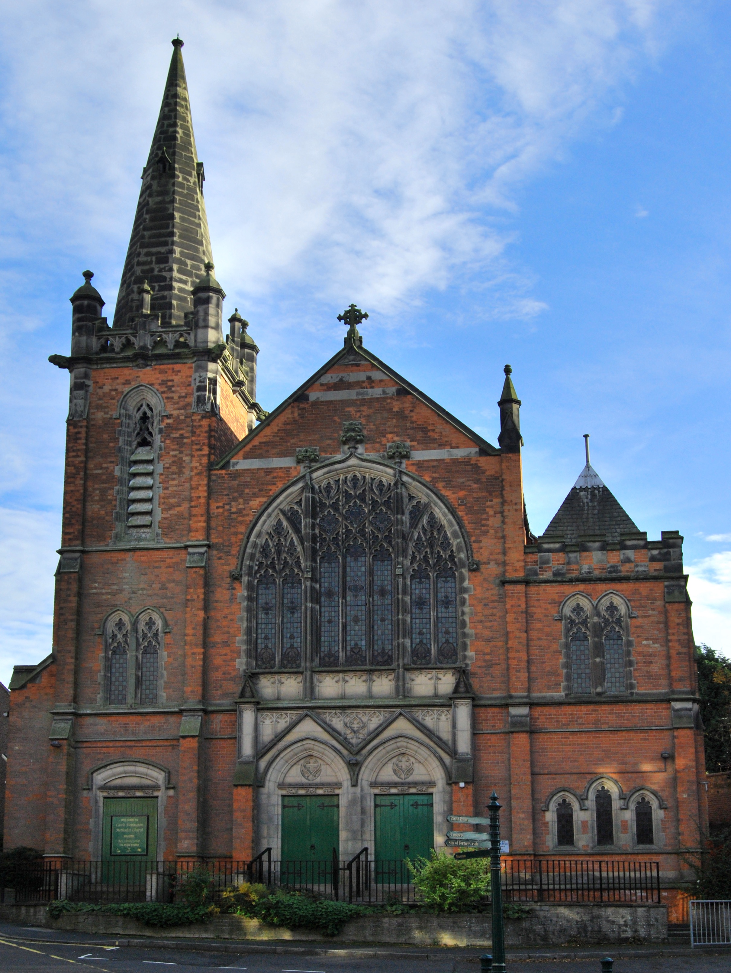
Castle Donington Methodist Church
Castle Donington Methodist Church is a Grade II listed Methodist Church in Castle Donington, Leicestershire. == History == The Methodist Church was designed...
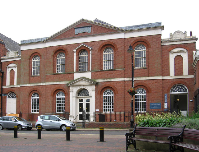
Wesleyan Chapel, Bishop Street
Bishop Street Methodist Chapel, also known as the Wesleyan Chapel, is church overlooking Town Hall Square in Leicester, England, U.K.The chapel was built...
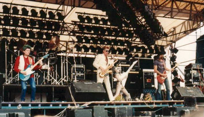
Monsters of Rock
Monsters of Rock is a hard rock and heavy metal music festival. It was originally held annually in Castle Donington, England, from 1980 to 1996, taking...
Nearby Amenities
Located within 500m of 52.841148,-1.35528Have you been to Castle Donington?
Leave your review of Castle Donington below (or comments, questions and feedback).