Carperby-cum-Thoresby
Civil Parish in Yorkshire Richmondshire
England
Carperby-cum-Thoresby
The requested URL returned error: 429 Too Many Requests
If you have any feedback on the listing, please let us know in the comments section below.
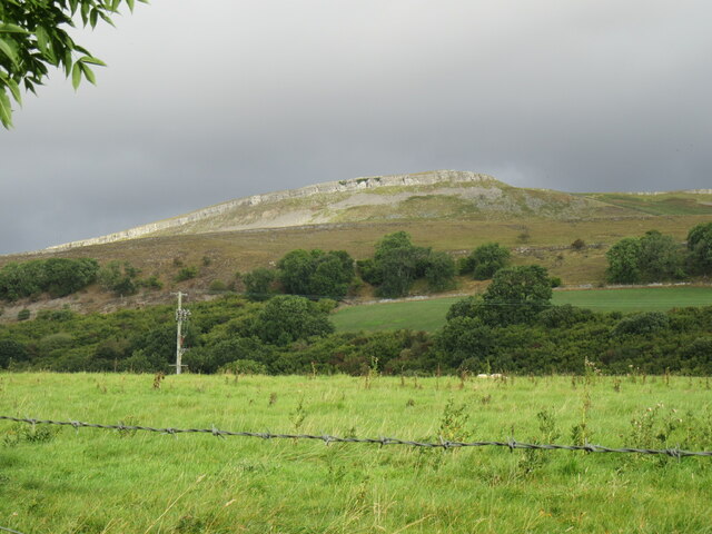
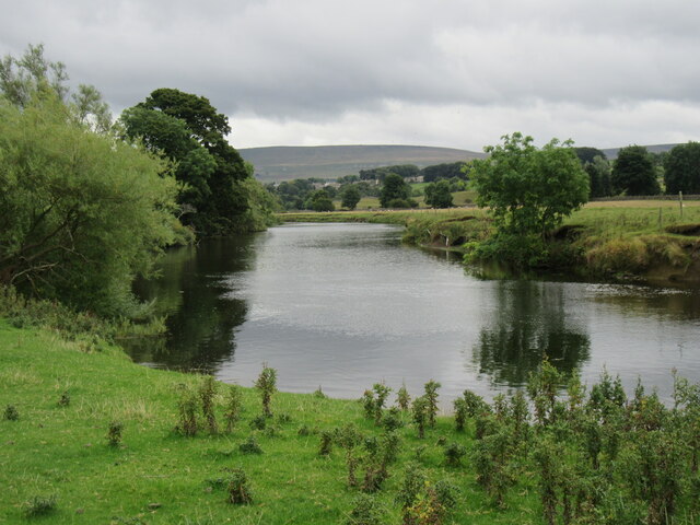
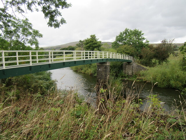
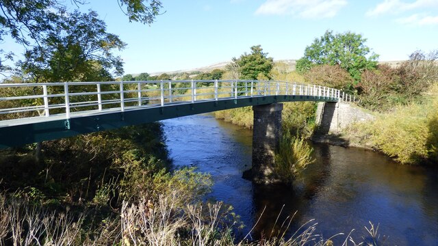
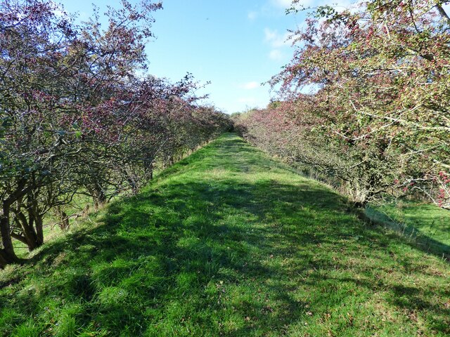
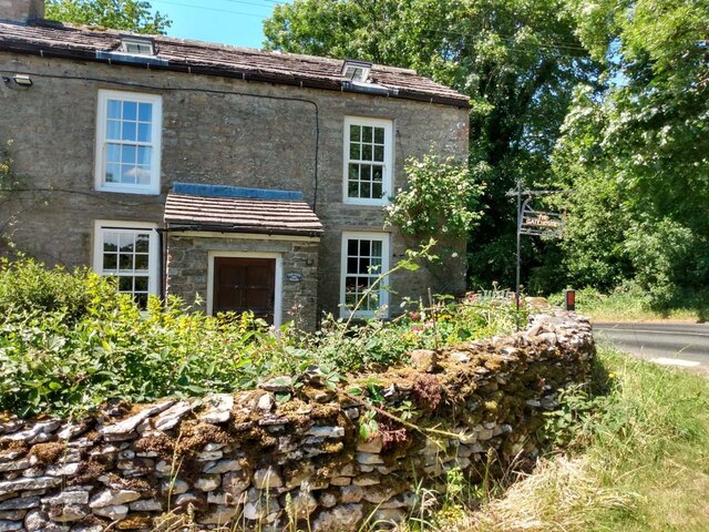
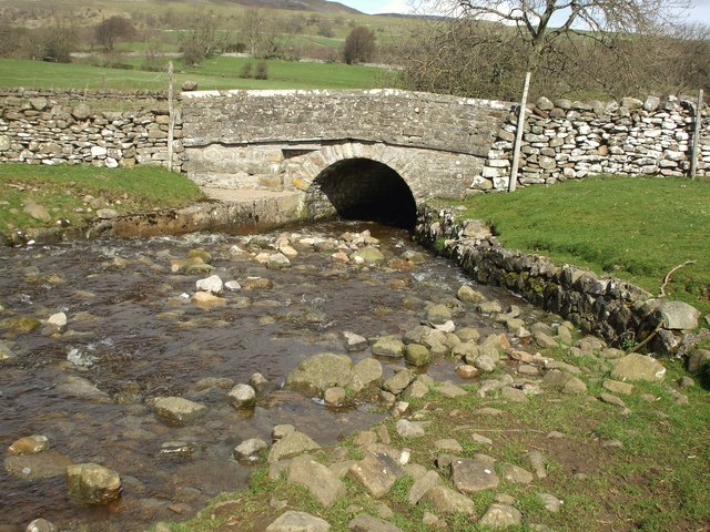
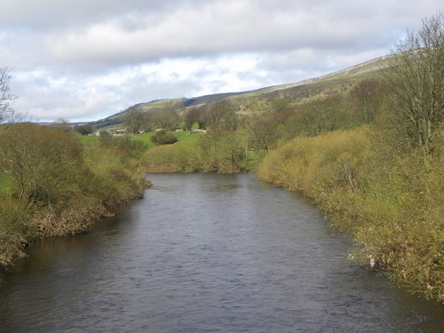
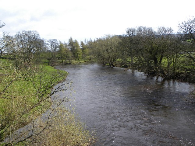
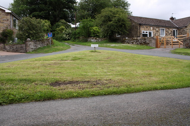
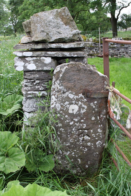
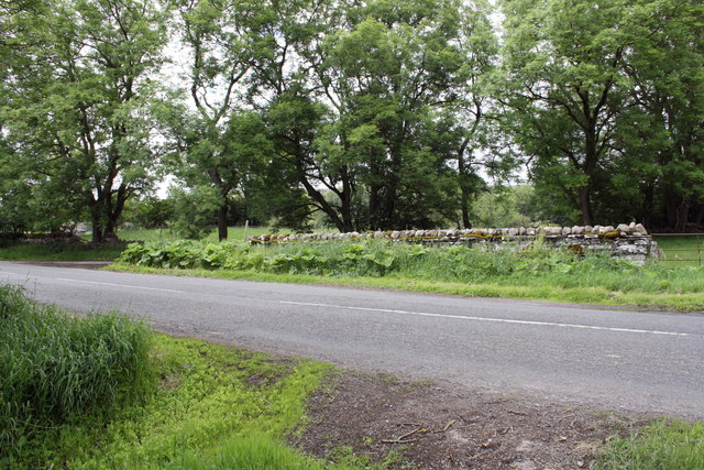
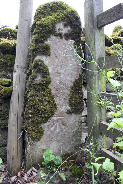
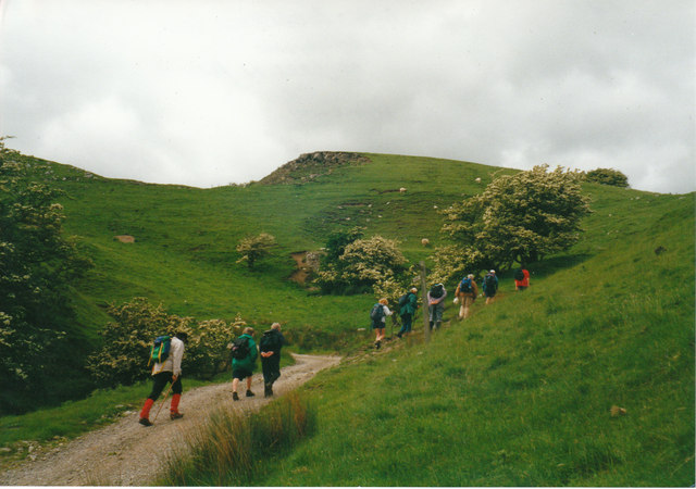
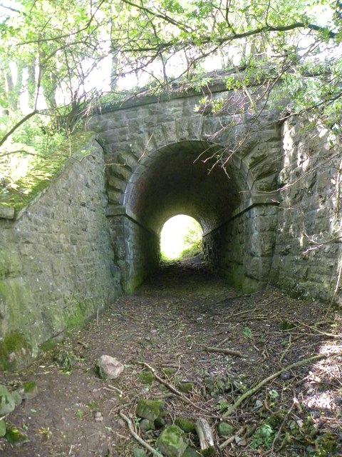
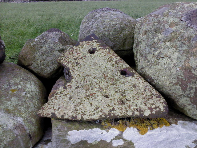
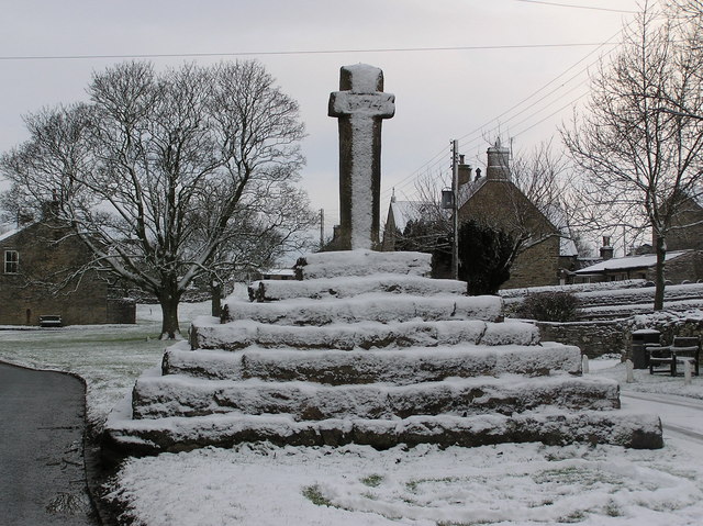
Carperby-cum-Thoresby Images
Images are sourced within 2km of 54.309656/-1.993742 or Grid Reference SE0090. Thanks to Geograph Open Source API. All images are credited.


Carperby-cum-Thoresby is located at Grid Ref: SE0090 (Lat: 54.309656, Lng: -1.993742)
Division: North Riding
Administrative County: North Yorkshire
District: Richmondshire
Police Authority: North Yorkshire
What 3 Words
///entire.informer.protrude. Near Leyburn, North Yorkshire
Nearby Locations
Related Wikis

Carperby-cum-Thoresby
Carperby-cum-Thoresby is a civil parish in the Richmondshire district of North Yorkshire, England. The parish contains the village of Carperby and the...
Carperby
Carperby is a village in the Yorkshire Dales, North Yorkshire, England. It lies 7 miles (11 km) west of Leyburn. == Etymology == The derivation of the...
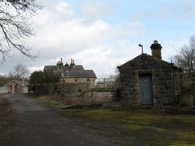
Aysgarth railway station
Aysgarth railway station is a disused railway station in North Yorkshire, England, near Aysgarth Falls. It was part of the Hawes Branch of the North Eastern...

Aysgarth Falls
Aysgarth Falls are a triple flight of waterfalls, surrounded by woodland and farmland, carved out by the River Ure over an almost one-mile (two-kilometre...
Nearby Amenities
Located within 500m of 54.309656,-1.993742Have you been to Carperby-cum-Thoresby?
Leave your review of Carperby-cum-Thoresby below (or comments, questions and feedback).