Careby Aunby and Holywell

Civil Parish in Lincolnshire South Kesteven

England

Careby Aunby and Holywell

Hedge enclosed minor road approaching The Grange Looking north-westward.
Hedge enclosed minor road approaching The Grange Credit: Peter Wood

Careby Aunby and Holywell is a civil parish located in the county of Lincolnshire, England. It is situated approximately 7 miles south of the town of Stamford and covers an area of around 1,700 acres. The parish consists of three small villages: Careby, Aunby, and Holywell.

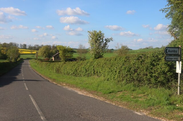
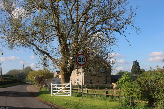
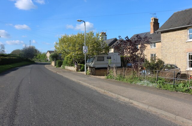
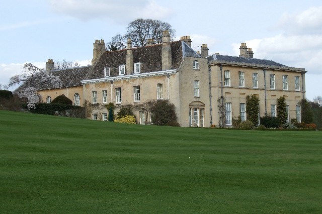
Careby is the largest of the three villages and is characterized by its picturesque countryside setting. It is primarily a residential area with a small number of houses and farms. Aunby, on the other hand, is a hamlet that consists of a handful of houses and a farm. Holywell is the smallest of the three villages and is home to a cluster of houses and a church.

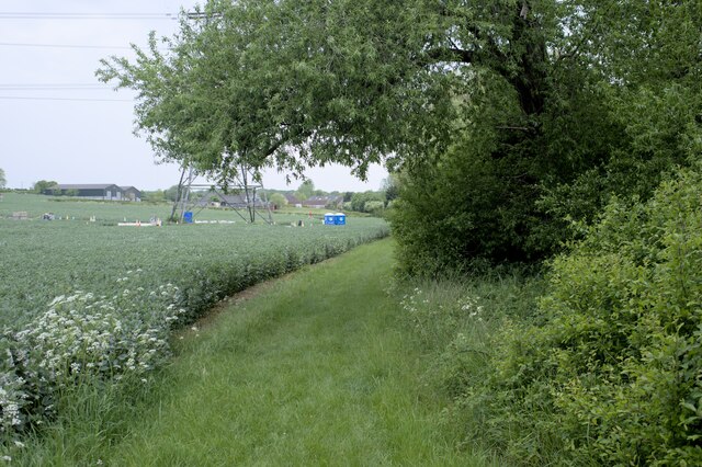
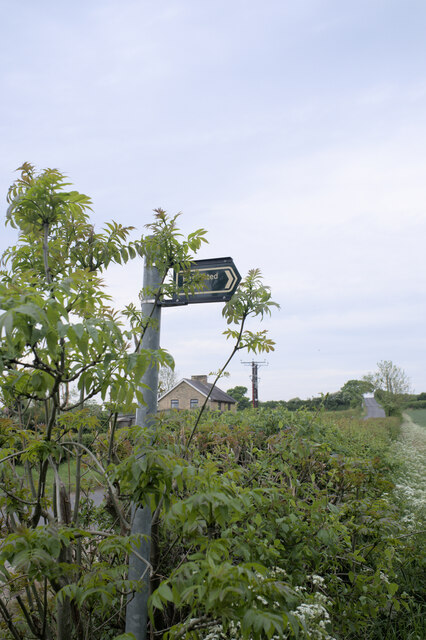
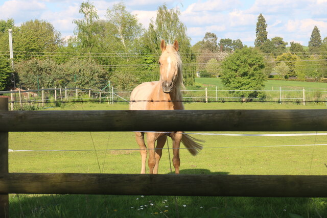
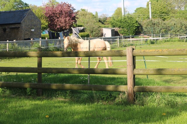
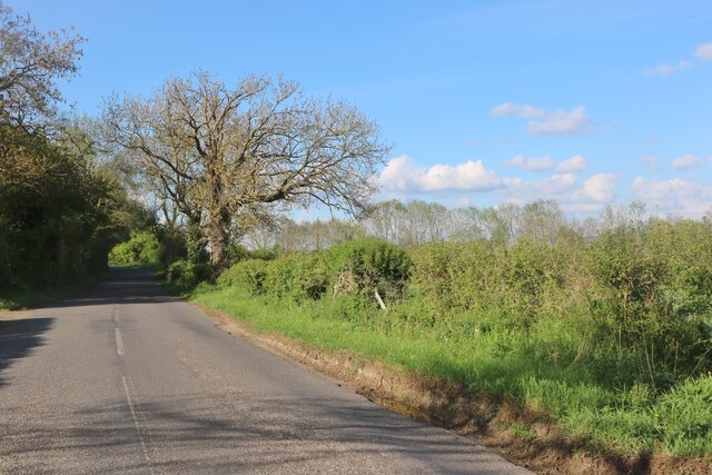
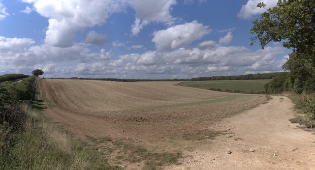
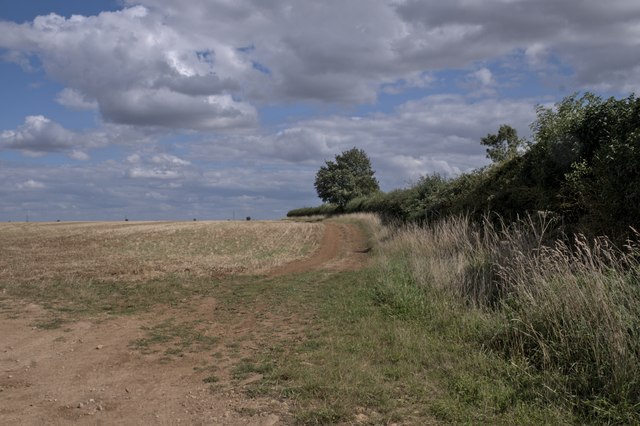
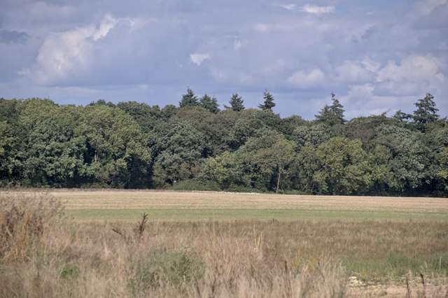
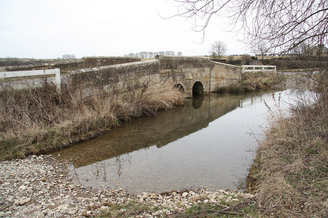
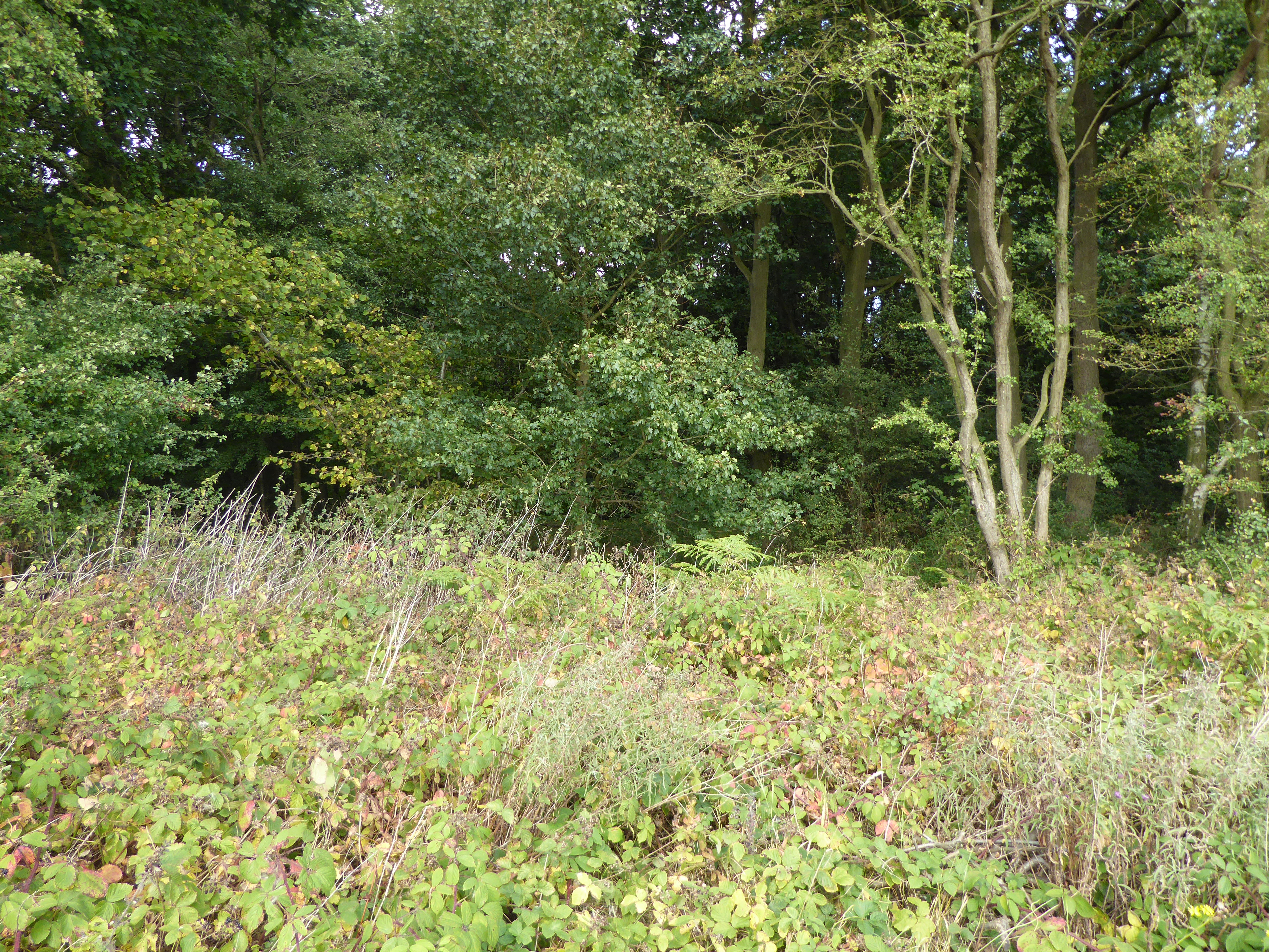
The landscape of Careby Aunby and Holywell is predominantly agricultural, with rolling fields and meadows surrounding the villages. The area is known for its rural beauty and tranquility, making it a popular destination for nature lovers and outdoor enthusiasts.

The parish has a small population, with the majority of its residents engaged in farming or other rural occupations. The villages are well-connected to nearby towns and cities through a network of roads, providing easy access to amenities and services.

In terms of amenities, the parish does not have any shops or businesses, but it does have a church in Holywell, which serves as a place of worship for the local community. Overall, Careby Aunby and Holywell offer a peaceful and idyllic rural lifestyle in the heart of Lincolnshire.

If you have any feedback on the listing, please let us know in the comments section below.

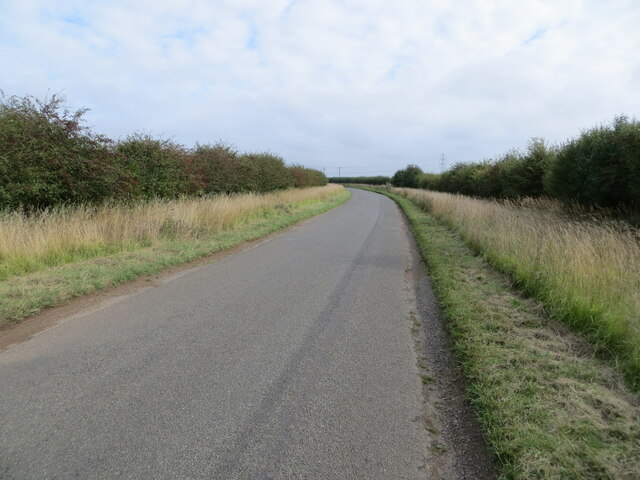
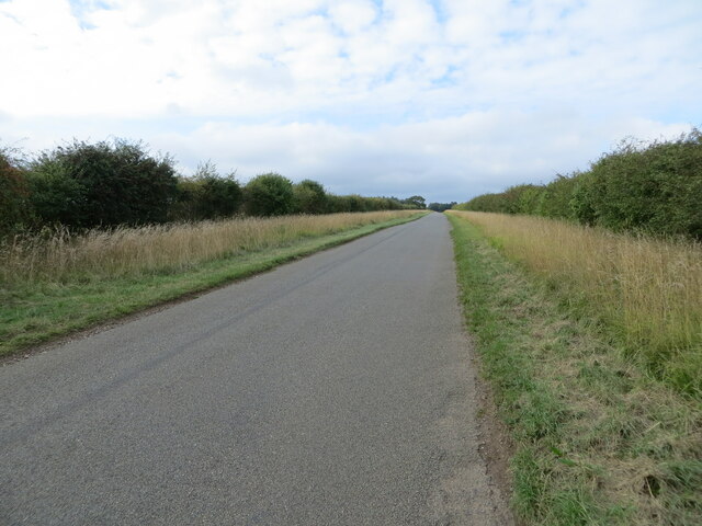
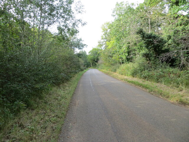
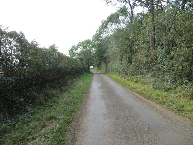
Careby Aunby and Holywell Images

Images are sourced within 2km of 52.724073/-0.500219 or Grid Reference TF0115. Thanks to Geograph Open Source API. All images are credited.

Hedge enclosed minor road approaching The Grange Looking north-westward.
Hedge enclosed minor road approaching The Grange
Looking north-westward.
Country road near Clipsham (2)
Road heading towards Vale Farm Looking south-eastward.
Road heading towards Vale Farm
Looking south-eastward.
Road heading towards Little Warren and Castle Dyke Looking north-westward.
Road heading towards Little Warren and Castle Dyke
Looking north-westward.
Tree and hedge enclosed road at Little Warren Wood Looking north-westward.
Tree and hedge enclosed road at Little Warren Wood
Looking north-westward.
Hedge and tree enclosed minor road at Castle Dyke Looking south-westward.
Hedge and tree enclosed minor road at Castle Dyke
Looking south-westward.
Restricted Byway Sections 47-50 of the 2000 Act introduce a new category of highway called 
the “restricted byway”. A restricted byway is defined as a highway over which 
the public have restricted byway rights, with or without the right to drive 
animals of any description.  This replaced the concept of a "road used as a public path".

This track is a restricted byway.  See <a href="https://www.geograph.org.uk/photo/7175487">TF0214 : Restricted Byway sign</a>.

A little further on is the camp for one of the wire-pulling bases used to re-string the 400kV line through Lincolnshire
Restricted Byway
Sections 47-50 of the 2000 Act introduce a new category of highway called the “restricted byway”. A restricted byway is defined as a highway over which the public have restricted byway rights, with or without the right to drive animals of any description. This replaced the concept of a "road used as a public path". This track is a restricted byway. See TF0214 : Restricted Byway sign. A little further on is the camp for one of the wire-pulling bases used to re-string the 400kV line through Lincolnshire
Criss-Cross Patterns against the sky of the wires and structure of a pylon, including (on the right) a pulling platform used for changing the wires.
Criss-Cross
Patterns against the sky of the wires and structure of a pylon, including (on the right) a pulling platform used for changing the wires.
Restricted Byway sign Sections 47-50 of the 2000 Act introduced a new category of highway called 
the “restricted byway”. A restricted byway is defined as a highway over which 
the public have restricted byway rights, with or without the right to drive 
animals of any description.  No motorised vehicles are permitted.
Restricted Byway sign
Sections 47-50 of the 2000 Act introduced a new category of highway called the “restricted byway”. A restricted byway is defined as a highway over which the public have restricted byway rights, with or without the right to drive animals of any description. No motorised vehicles are permitted.
Stamford Road, Aunby
Stamford Road, Careby
Horse in Careby He came right over to see me, but I couldn't get any closer as there is a barrier between there and the fence.
Horse in Careby
He came right over to see me, but I couldn't get any closer as there is a barrier between there and the fence.
Horse in Careby He walked straight over when he saw me but there were two sets of fences to stop him getting any closer.
Horse in Careby
He walked straight over when he saw me but there were two sets of fences to stop him getting any closer.
Stamford Road, Careby
Stamford Road south of Careby
Gently rolling hills Rutland is a fractal surface - it's a bit more than 2 dimensional.  The tiny folds and ridges of the fields round here can be surprising steep, if short to climb.

This image is stitched from 6 others, giving a panorama some 90 degrees wide.
Gently rolling hills
Rutland is a fractal surface - it's a bit more than 2 dimensional. The tiny folds and ridges of the fields round here can be surprising steep, if short to climb. This image is stitched from 6 others, giving a panorama some 90 degrees wide.
A field in Rutland
A field in Rutland
Looking toward Newell Wood
Show me another place!

Careby Aunby and Holywell is located at Grid Ref: TF0115 (Lat: 52.724073, Lng: -0.500219)

Administrative County: Lincolnshire

District: South Kesteven

Police Authority: Lincolnshire

What 3 Words

///flexed.trams.torso. Near Pickworth, Rutland

Related Wikis

Careby Aunby and Holywell

Careby Aunby and Holywell is a civil parish in the district of South Kesteven, south-west Lincolnshire, in England. It stretches from the county border...

Aunby

Aunby is a village in the civil parish of Careby Aunby and Holywell, in the South Kesteven district of Lincolnshire, England. It is situated north from...

Newell Wood

Newell Wood is a 33.3-hectare (82-acre) biological Site of Special Scientific Interest east of Pickworth in Rutland, adjacent to Lincolnshire Gate. This...

Holywell, Lincolnshire

Holywell is a tiny settlement in the civil parish of Careby Aunby and Holywell, in the South Kesteven district of Lincolnshire, England. It lies 5.5 miles...

Have you been to Careby Aunby and Holywell?

Leave your review of Careby Aunby and Holywell below (or comments, questions and feedback).