Broad Hill

Settlement in Cambridgeshire East Cambridgeshire

England

Broad Hill

Shropshire Group workshop, Hasse Road Linked to the large farming estate in the area.
Shropshire Group workshop, Hasse Road Credit: Hugh Venables

Broad Hill is a small village located in the county of Cambridgeshire, England. Situated approximately 10 miles north of the city of Cambridge, it is nestled within the picturesque countryside of the region. The village is home to a close-knit community of around 500 residents.

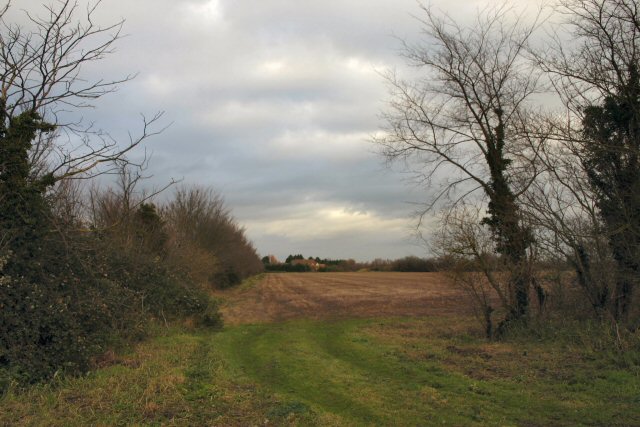
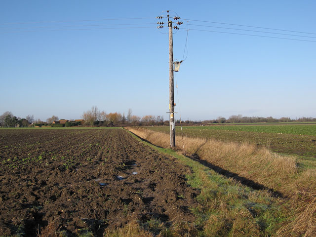
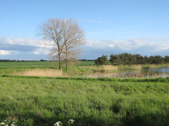
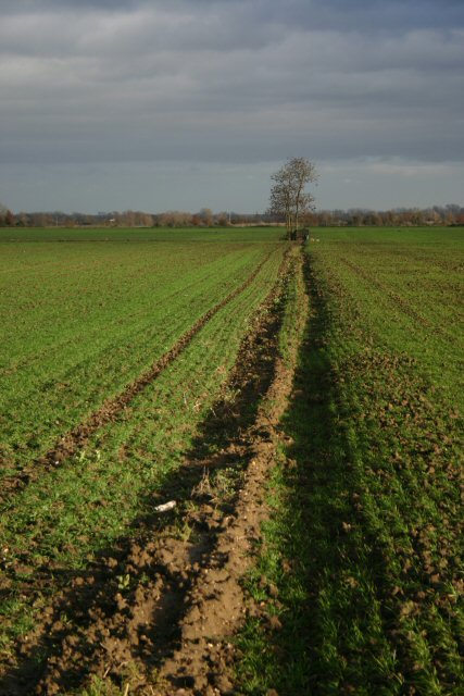
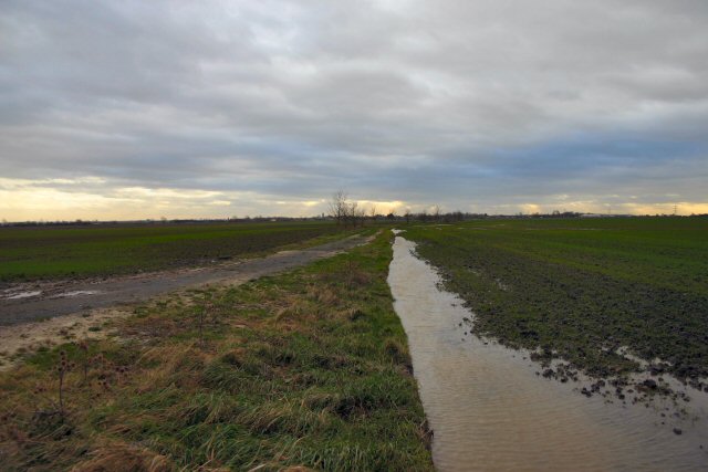
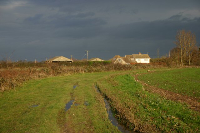
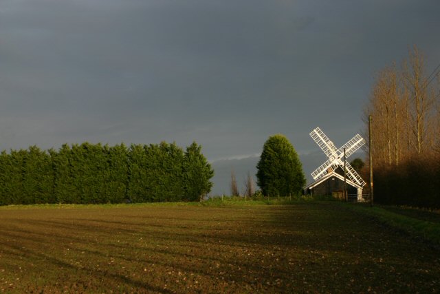
The landscape surrounding Broad Hill is characterized by rolling hills, lush green fields, and meandering streams. The area is renowned for its natural beauty, attracting nature enthusiasts and hikers who appreciate its tranquil charm. The village itself showcases a mix of traditional and modern architecture, with charming cottages and contemporary houses coexisting harmoniously.

Broad Hill offers several amenities to its residents, including a primary school, a village hall, and a local pub. The primary school is highly regarded for its academic excellence and nurturing environment. The village hall serves as a central hub for community activities, hosting events such as social gatherings, meetings, and local celebrations. The local pub is a popular spot for locals and visitors alike, offering a cozy atmosphere and a selection of traditional British cuisine.

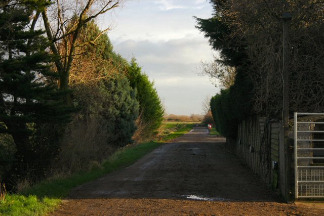
Despite its relatively small size, Broad Hill benefits from excellent transport links. The nearby A14 road provides easy access to Cambridge and other neighboring towns, while a regular bus service connects the village to the wider region. This accessibility makes Broad Hill an attractive location for commuters who seek a peaceful countryside lifestyle while being within reach of urban amenities.

Overall, Broad Hill, Cambridgeshire, offers a charming and idyllic setting for those looking to enjoy the beauty of rural England while still maintaining easy access to nearby towns and cities.

If you have any feedback on the listing, please let us know in the comments section below.

Broad Hill Images

Images are sourced within 2km of 52.365699/0.33655659 or Grid Reference TL5976. Thanks to Geograph Open Source API. All images are credited.

Shropshire Group workshop, Hasse Road Linked to the large farming estate in the area.
Shropshire Group workshop, Hasse Road
Linked to the large farming estate in the area.
Greens of Soham Part of a large food processing and distribution works.
Greens of Soham
Part of a large food processing and distribution works.
Game bird cover crop by Hasse Road
Food processing and distribution works. Hasse Road
Hasse Road
Hasse Road
The Hasse North-east of Soham, low-lying fenland extends for miles, interrupted by the occasional higher ground.  The Hasse is largely below sea-level; this view looks northwards along the zero contour.
The Hasse
North-east of Soham, low-lying fenland extends for miles, interrupted by the occasional higher ground. The Hasse is largely below sea-level; this view looks northwards along the zero contour.
Industrial unit at Longfield Farm Many farmers in East Anglia have diversified, turning land into other uses.  Here at Longfield Farm, a number of small industrial units have been built alongside the minor road between Soham and Broad Hill.
Industrial unit at Longfield Farm
Many farmers in East Anglia have diversified, turning land into other uses. Here at Longfield Farm, a number of small industrial units have been built alongside the minor road between Soham and Broad Hill.
Angling lake at The Hasse Evening light across this lake near Poplar Farm, used by the local angling club.
Angling lake at The Hasse
Evening light across this lake near Poplar Farm, used by the local angling club.
Bancroft Drove Byway leaving Long Dolver Drove.
Bancroft Drove
Byway leaving Long Dolver Drove.
Ditch off Hasse Road
Hasse Road Passed the Greens angling club fishing pits.
Hasse Road
Passed the Greens angling club fishing pits.
Fishing lake By Castles Farm.
Fishing lake
By Castles Farm.
Lonely furrow and tree North Field, north of Soham.
Lonely furrow and tree
North Field, north of Soham.
Featureless flooded Fenland A byway across North Field, near Soham.
Featureless flooded Fenland
A byway across North Field, near Soham.
Horse Fen Drove Byway to Broad Hill.
Horse Fen Drove
Byway to Broad Hill.
Byway at Broad Hill Leading to Saxon Farm, north of Soham.
Byway at Broad Hill
Leading to Saxon Farm, north of Soham.
Mill Farm, Soham Northfield Windmill, also known as Townsend or The Shade Windmill, is situated at the north end of Soham. It was converted and moved to its present location in 1830 and is one of the smallest mills in Cambridgeshire. Originally it had four sails but for many years it was still working with only two sails. By 1964 the windmill had stood derelict for many years and in September of that year, one of the two remaining sails was blown off. In 1968 the remaining sail was removed. It has now been restored to its former glory, as a private project, by Mr Patrick Johnson and his family.
Mill Farm, Soham
Northfield Windmill, also known as Townsend or The Shade Windmill, is situated at the north end of Soham. It was converted and moved to its present location in 1830 and is one of the smallest mills in Cambridgeshire. Originally it had four sails but for many years it was still working with only two sails. By 1964 the windmill had stood derelict for many years and in September of that year, one of the two remaining sails was blown off. In 1968 the remaining sail was removed. It has now been restored to its former glory, as a private project, by Mr Patrick Johnson and his family.
The former St John's Farm Has clearly decided to "do a Windscale" and is now called Pantile Stud!
The former St John's Farm
Has clearly decided to "do a Windscale" and is now called Pantile Stud!
Show me another place!

Broad Hill is located at Grid Ref: TL5976 (Lat: 52.365699, Lng: 0.33655659)

Administrative County: Cambridgeshire

District: East Cambridgeshire

Police Authority: Cambridgeshire

What 3 Words

///messaging.shippers.daydream. Near Soham, Cambridgeshire

Nearby Locations

Broad Hill Hill, Broad

Related Wikis

Leightonstone

Leightonstone was a hundred of Huntingdonshire mentioned in the Domesday Book of 1086. It took its name from the stone at Leighton Bromswold where the...

Delph Bridge Drain

Delph Bridge Drain is a 0.15-hectare (0.37-acre) biological Site of Special Scientific Interest north-west of Soham in Cambridgeshire. This site has the...

Soham Town Rangers F.C.

Soham Town Rangers Football Club is an English football club based in Soham, Cambridgeshire. The club are currently members of the Eastern Counties League...

Soham rail disaster

The Soham rail disaster occurred on 2 June 1944, during the Second World War, when a fire developed on the leading wagon of a heavy ammunition train....

Nearby Amenities

Located within 500m of 52.365699,0.33655659
Power: pole
Lat/Long: 52.3618065/0.3364977
Power: pole
Lat/Long: 52.3685645/0.3365579
Power: pole
Lat/Long: 52.3628368/0.3363381
Power: pole
Lat/Long: 52.3648959/0.3360107
Power: pole
Lat/Long: 52.3635037/0.3362521
Power: pole
Lat/Long: 52.368204/0.3364452
Power: pole
Lat/Long: 52.3700646/0.3371909
Power: pole
Lat/Long: 52.3672459/0.3360484
Power: pole
Lat/Long: 52.3693176/0.3369012
Power: pole
Lat/Long: 52.3696879/0.3370353
Power: pole
Lat/Long: 52.3689444/0.336751
Power: pole
Lat/Long: 52.3678504/0.3362521
Power: pole
Lat/Long: 52.3675489/0.3361663
Power: pole
Lat/Long: 52.3641816/0.3361234
Power: pole
Lat/Long: 52.3666514/0.3356058
Power: pole
Lat/Long: 52.3658144/0.335917
Power: pole
Lat/Long: 52.3623765/0.3336291
Power: pole
Lat/Long: 52.3626452/0.3352385
Place: farm
Lat/Long: 52.3634841/0.3388849
Addr Postcode: CB7 5UG
Building: yes
Lat/Long: 52.3645344/0.3403066
The data included in this document is from www.openstreetmap.org. The data is made available under ODbL.

Have you been to Broad Hill?

Leave your review of Broad Hill below (or comments, questions and feedback).