Cantley, Limpenhoe and Southwood
Civil Parish in Norfolk Broadland
England
Cantley, Limpenhoe and Southwood
Cantley, Limpenhoe, and Southwood are three small villages located in Norfolk, England. They are all part of the same civil parish and have a combined population of approximately 1,500 residents.
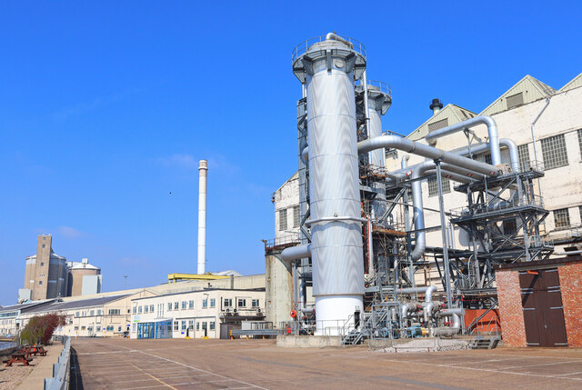
Cantley is the largest of the three villages, situated on the northern bank of the River Yare. Historically, it was a thriving agricultural community, known for its fertile soil and farming activities. Today, it still retains its rural charm, with many traditional cottages and farmhouses dotting the landscape. The village is also home to Cantley Sugar Factory, which has been a prominent feature of the area since the early 20th century.
Limpenhoe is a picturesque village located to the east of Cantley. It is primarily a residential area with a few local amenities, such as a village hall and a church. The village is surrounded by beautiful countryside, making it a popular destination for nature lovers and walkers.
Southwood is the smallest of the three villages, located to the south of Cantley. It is a quiet and peaceful community, with a mix of residential and agricultural properties. The village has a close-knit community feel, and residents often participate in local events and activities.
All three villages benefit from their proximity to the Norfolk Broads, a network of rivers, lakes, and marshes. This provides opportunities for boating, fishing, and other recreational activities. Additionally, the nearby city of Norwich offers a wide range of amenities, including shopping centers, restaurants, and cultural attractions.
Overall, Cantley, Limpenhoe, and Southwood offer a tranquil and idyllic lifestyle, with a strong sense of community and access to beautiful natural surroundings.
If you have any feedback on the listing, please let us know in the comments section below.
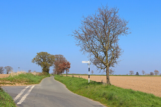
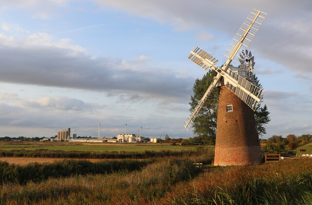
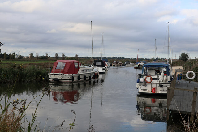
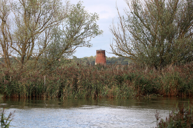
Cantley, Limpenhoe and Southwood Images
Images are sourced within 2km of 52.570825/1.524871 or Grid Reference TG3802. Thanks to Geograph Open Source API. All images are credited.


Cantley, Limpenhoe and Southwood is located at Grid Ref: TG3802 (Lat: 52.570825, Lng: 1.524871)
Administrative County: Norfolk
District: Broadland
Police Authority: Norfolk
What 3 Words
///elect.rainy.narrate. Near Reedham, Norfolk
Nearby Locations
Related Wikis

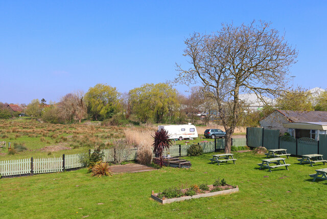
Limpenhoe Meadows
Limpenhoe Meadows is a 12-hectare (30-acre) biological Site of Special Scientific Interest west of Reedham in Norfolk. It is part of the Broadland Ramsar...

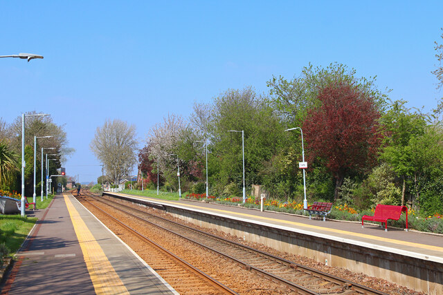
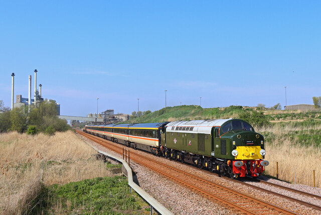
Cantley railway station
Cantley railway station is on the Wherry Lines in the East of England, serving the village of Cantley, Norfolk. It is 10 miles (16 km) down the line from...

Cantley, Norfolk
Cantley is a village and former civil parish, now in the parish of Cantley, Limpenhoe and Southwood, in the Broadland district, in the English county of...

Limpenhoe
Limpenhoe is a village and former civil parish, now in the Cantley, Limpenhoe and Southwood, in the Broadland district, in the county of Norfolk, England...

Wherryman's Way
Wherryman's Way is a long-distance footpath in the English county of Norfolk. == Route == Wherryman's Way is 35 miles (56 km) long, running between Norwich...

River Chet
The River Chet is a small river in South Norfolk, England, a tributary of the River Yare. It rises in Poringland and flows eastwards through Alpington...

Poplar Farm Meadows, Langley
Poplar Farm Meadows, Langley is a 7.5-hectare (19-acre) biological Site of Special Scientific Interest east of Loddon in Norfolk. It is part of the Broadland...
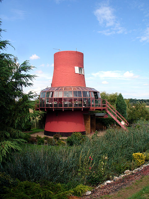
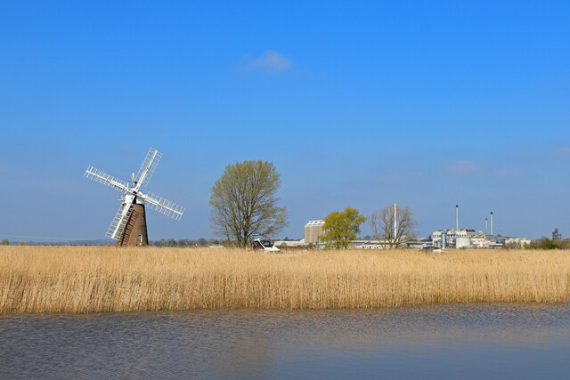
Reedham Ferry Drainage Mill
The Reedham Ferry Drainage Mill, also known as The Red Mill is a former drainage windmill found on the River Yare on The Broads in Norfolk. It is now a...
Nearby Amenities
Located within 500m of 52.570825,1.524871Have you been to Cantley, Limpenhoe and Southwood?
Leave your review of Cantley, Limpenhoe and Southwood below (or comments, questions and feedback).