Caldwell

Civil Parish in Yorkshire Richmondshire

England

Caldwell

Old Milestone, B6274, Berry Bank, South of Winston The milestone is located just north of the current County Durham border on the verge by the entrance to Hillcrest farm, on the south west side of the road. Parish of Barforth (Teesdale District). Carved stone post, erected by an unknown authority in the 18th century. Opposite Milestone YN_RCSP11a <a title="https://www.geograph.org.uk/photo/6049876" href="https://www.geograph.org.uk/photo/6049876">Link</a>

Inscription reads:-
: STAINDROP / 4 / MILES : : RICHMOND / RICHMOND / 11 / MILES : 

Grade II listed.
List Entry Number: 1322725
<span class="nowrap"><a title="https://historicengland.org.uk/listing/the-list/list-entry/1322725" rel="nofollow ugc noopener" href="https://historicengland.org.uk/listing/the-list/list-entry/1322725">Link</a><img style="margin-left:2px;" alt="External link" title="External link - shift click to open in new window" src="https://s1.geograph.org.uk/img/external.png" width="10" height="10"/></span>

Milestone Society National ID: YN_RCSP11
Old Milestone, B6274, Berry Bank, South of Winston Credit: Mike Rayner

The requested URL returned error: 429 Too Many Requests

If you have any feedback on the listing, please let us know in the comments section below.
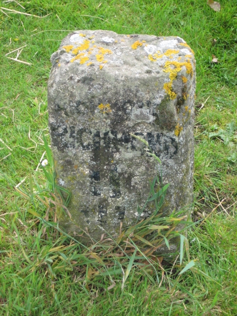
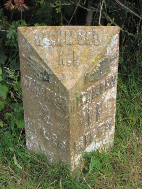
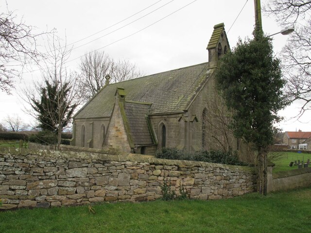
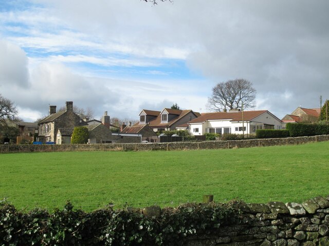
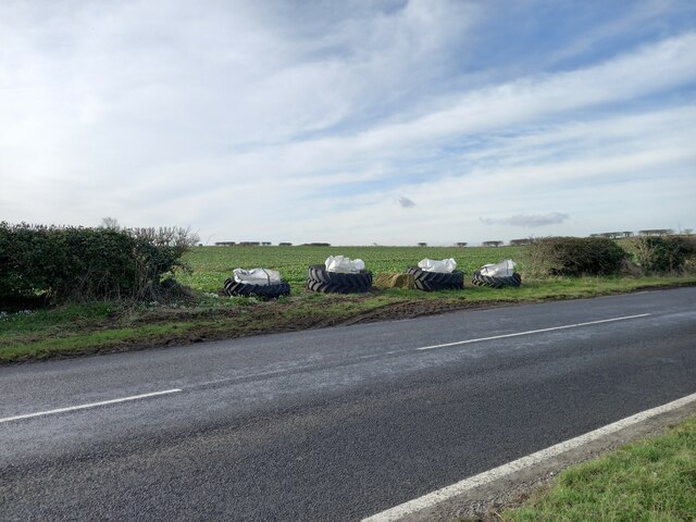
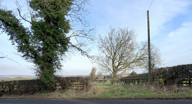
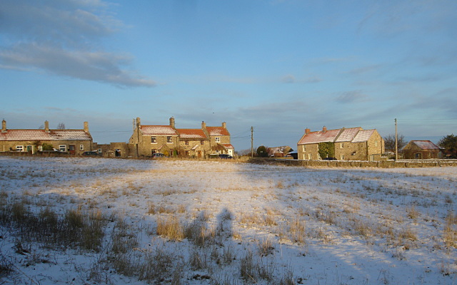
Caldwell Images

Images are sourced within 2km of 54.519886/-1.758148 or Grid Reference NZ1513. Thanks to Geograph Open Source API. All images are credited.

Old Milestone, B6274, Berry Bank, South of Winston The milestone is located just north of the current County Durham border on the verge by the entrance to Hillcrest farm, on the south west side of the road. Parish of Barforth (Teesdale District). Carved stone post, erected by an unknown authority in the 18th century. Opposite Milestone YN_RCSP11a <a title="https://www.geograph.org.uk/photo/6049876" href="https://www.geograph.org.uk/photo/6049876">Link</a>

Inscription reads:-
: STAINDROP / 4 / MILES : : RICHMOND / RICHMOND / 11 / MILES : 

Grade II listed.
List Entry Number: 1322725
<span class="nowrap"><a title="https://historicengland.org.uk/listing/the-list/list-entry/1322725" rel="nofollow ugc noopener" href="https://historicengland.org.uk/listing/the-list/list-entry/1322725">Link</a><img style="margin-left:2px;" alt="External link" title="External link - shift click to open in new window" src="https://s1.geograph.org.uk/img/external.png" width="10" height="10"/></span>

Milestone Society National ID: YN_RCSP11
Old Milestone, B6274, Berry Bank, South of Winston
The milestone is located just north of the current County Durham border on the verge by the entrance to Hillcrest farm, on the south west side of the road. Parish of Barforth (Teesdale District). Carved stone post, erected by an unknown authority in the 18th century. Opposite Milestone YN_RCSP11a Link Inscription reads:- : STAINDROP / 4 / MILES : : RICHMOND / RICHMOND / 11 / MILES : Grade II listed. List Entry Number: 1322725 LinkExternal link Milestone Society National ID: YN_RCSP11
Old Milestone, B6274, Berry Bank, Hillcrest Farm The milestone is located just north of the current county Durham border and junction with Pudding Hill Road, on the verge opposite the entrance to Hillcrest Farm on the north east side of the road. Parish of Barforth (Teesdale District). Cast iron post, Bedale HD iron casting design, erected by the Local Highways Board in the 19th/20th century. Opposite Milestone YN_RCSP11 <a href="https://www.geograph.org.uk/photo/6049876">NZ1515 : Old Milepost,  B6274, Berry Bank, Hillcrest Farm</a>

Inscription reads:-
: {<-hand} / STAINDROP / 4 / MILES : : RICHMOND / H.D : : {hand->} / RICHMOND / 11 / MILES :

Grade II listed, List Entry Number: 1121748
<span class="nowrap"><a title="https://historicengland.org.uk/listing/the-list/list-entry/1121748" rel="nofollow ugc noopener" href="https://historicengland.org.uk/listing/the-list/list-entry/1121748">Link</a><img style="margin-left:2px;" alt="External link" title="External link - shift click to open in new window" src="https://s1.geograph.org.uk/img/external.png" width="10" height="10"/></span>

Milestone Society National ID: YN_RCSP11a
Old Milestone, B6274, Berry Bank, Hillcrest Farm
The milestone is located just north of the current county Durham border and junction with Pudding Hill Road, on the verge opposite the entrance to Hillcrest Farm on the north east side of the road. Parish of Barforth (Teesdale District). Cast iron post, Bedale HD iron casting design, erected by the Local Highways Board in the 19th/20th century. Opposite Milestone YN_RCSP11 NZ1515 : Old Milepost, B6274, Berry Bank, Hillcrest Farm Inscription reads:- : {<-hand} / STAINDROP / 4 / MILES : : RICHMOND / H.D : : {hand->} / RICHMOND / 11 / MILES : Grade II listed, List Entry Number: 1121748 LinkExternal link Milestone Society National ID: YN_RCSP11a
St Hilda's chapel, north side A simple stone building with a slate roof, seen here from the road.
St Hilda's chapel, north side
A simple stone building with a slate roof, seen here from the road.
St Hilda's chapel, south side A simple stone building with a slate roof, seen here from the churchyard.
St Hilda's chapel, south side
A simple stone building with a slate roof, seen here from the churchyard.
St Hilda's chapel, west end There is a bellcote with two bells.
St Hilda's chapel, west end
There is a bellcote with two bells.
St Hilda's chapel, bellcote The bellcote contains two bells.
St Hilda's chapel, bellcote
The bellcote contains two bells.
St Hilda's chapel, font An octagonal stone font on a circular column and a square base, on which is written a dedication to Susanna Wailes, 1904.
St Hilda's chapel, font
An octagonal stone font on a circular column and a square base, on which is written a dedication to Susanna Wailes, 1904.
St Hilda's chapel, priest's and choir stalls The chapel&amp;#039;s furnishings were generally plain apart from these carved wooden stalls.
St Hilda's chapel, priest's and choir stalls
The chapel's furnishings were generally plain apart from these carved wooden stalls.
St Hilda's chapel, pews The chapel&amp;#039;s furnishings were generally plain including these pews.
St Hilda's chapel, pews
The chapel's furnishings were generally plain including these pews.
St Hilda's chapel, history board The text gives insights into the ecclesiastical politics and financial arrangements of the church in early Victorian times:

&amp;#039;The Chapel was erected at the expense of Charlotte Catherine Ann, Countess of Bridgewater AD 1844 and endowed with the sum of L1526 14s 4d in the 3 percent consolidated Bank Annuities. The service to be performed as set forth by the Church of ENGLAND and by her directions the Sittings are hereby declared free and unappropriated to the Inhabitants of the Township of Caldwell. Bernard Gilpin, Officiating Minister. Frank Dent, Churchwarden&amp;#039;. 

The 3 percent annuity would have generated an annual income of £42 16s, the equivalent of about £2500 in 2017 (from the National Archives inflation converter).
St Hilda's chapel, history board
The text gives insights into the ecclesiastical politics and financial arrangements of the church in early Victorian times: 'The Chapel was erected at the expense of Charlotte Catherine Ann, Countess of Bridgewater AD 1844 and endowed with the sum of L1526 14s 4d in the 3 percent consolidated Bank Annuities. The service to be performed as set forth by the Church of ENGLAND and by her directions the Sittings are hereby declared free and unappropriated to the Inhabitants of the Township of Caldwell. Bernard Gilpin, Officiating Minister. Frank Dent, Churchwarden'. The 3 percent annuity would have generated an annual income of £42 16s, the equivalent of about £2500 in 2017 (from the National Archives inflation converter).
St Hilda's chapel, electrification plaque The text gives insight into the significance even in the 1950s of what is now taken for granted: 

&amp;#039;This tablet records the gift of the electric light installation in this church in memory of George and Emma Stanwix given by their four sons 1953&amp;#039;.
St Hilda's chapel, electrification plaque
The text gives insight into the significance even in the 1950s of what is now taken for granted: 'This tablet records the gift of the electric light installation in this church in memory of George and Emma Stanwix given by their four sons 1953'.
St Hilda's chapel, churchyard Although the chapel closed in 2016 the churchyard remains open for burials.
St Hilda's chapel, churchyard
Although the chapel closed in 2016 the churchyard remains open for burials.
Caldwell dovecote Listed grade II (list entry 1157612) where it is dated to the 16th or 17th century, and described as a pigeoncote (probably a more accurate term, as pigeons were bred for food).

Viewed here from the churchyard.
Caldwell dovecote
Listed grade II (list entry 1157612) where it is dated to the 16th or 17th century, and described as a pigeoncote (probably a more accurate term, as pigeons were bred for food). Viewed here from the churchyard.
Caldwell village A view from the unnamed road outside St Hilda&amp;#039;s chapel. The building on the left is the Brownlow Arms &lt;a href=&quot;https://www.geograph.org.uk/photo/147232&quot;&gt;NZ1613 : Brownlow Arms :  Caldwell&lt;/a&gt;.
Caldwell village
A view from the unnamed road outside St Hilda's chapel. The building on the left is the Brownlow Arms NZ1613 : Brownlow Arms : Caldwell.
Winston, Berry Bank According to the OS benchmark database there was a stone gatepost with a benchmark on the west side of the road at this location. Nothing was found.
Winston, Berry Bank
According to the OS benchmark database there was a stone gatepost with a benchmark on the west side of the road at this location. Nothing was found.
Winston, Pudding Hill Road According to the OS benchmark database there was a stone gatepost with a cutmark at this field entrance. Today the gateposts are wooden.
Winston, Pudding Hill Road
According to the OS benchmark database there was a stone gatepost with a cutmark at this field entrance. Today the gateposts are wooden.
Winston, Pudding Hill Road According to the OS benchmark database the right hand gatepost at this field entrance was stone with a cutmark. Today, both gateposts are wooden.
Winston, Pudding Hill Road
According to the OS benchmark database the right hand gatepost at this field entrance was stone with a cutmark. Today, both gateposts are wooden.
Caldwell, Barforth Grange According to the OS benchmark database there is a benchmark cut into the east face of the farmhouse. This is a private drive and there is no view from the roadside.
Caldwell, Barforth Grange
According to the OS benchmark database there is a benchmark cut into the east face of the farmhouse. This is a private drive and there is no view from the roadside.
Show me another place!

Caldwell is located at Grid Ref: NZ1513 (Lat: 54.519886, Lng: -1.758148)

Division: North Riding

Administrative County: North Yorkshire

District: Richmondshire

Police Authority: North Yorkshire

What 3 Words

///similar.eagle.factually. Near Ovington, Co. Durham

Nearby Locations

Caldwell

Related Wikis

Caldwell, North Yorkshire

Caldwell is a village and civil parish in the Richmondshire district of North Yorkshire, England, close to the border with County Durham and approximately...

Forcett

Forcett is a village in the Richmondshire district of North Yorkshire, England. It lies near the border with County Durham, on the B6274 road about 8 miles...

Forcett Hall

Forcett Hall is an English country house in the village of Forcett, North Yorkshire, England, some 6.5 miles (10 km) west of Darlington. It is a Grade...

Eppleby

Eppleby is a village and civil parish in the Richmondshire district of North Yorkshire, England. It is located about 7 miles (11 km) north of Richmond...

Have you been to Caldwell?

Leave your review of Caldwell below (or comments, questions and feedback).