Caldecote
Civil Parish in Cambridgeshire South Cambridgeshire
England
Caldecote

Caldecote is a civil parish located in the South Cambridgeshire district of Cambridgeshire, England. It is situated around 7 miles west of the city of Cambridge and covers an area of approximately 6 square miles. With a population of around 1,500, it is a relatively small parish.
The village of Caldecote itself is a charming and picturesque settlement, characterized by its traditional thatched cottages and beautiful countryside views. It has a strong sense of community and offers a peaceful and tranquil living environment for its residents.
The parish is well-connected to nearby towns and cities. The A428 road runs through Caldecote, providing easy access to Cambridge, Bedford, and St Neots. The village also benefits from regular bus services, making it convenient for residents to travel to nearby areas.
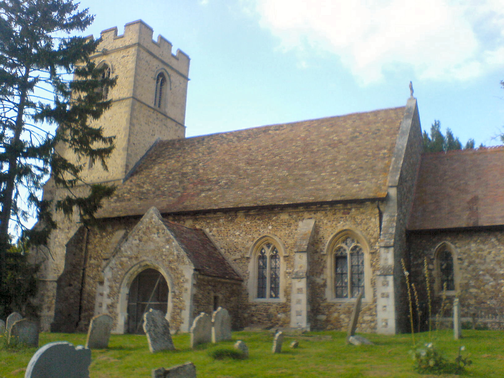
Caldecote has several amenities and facilities to cater to the needs of its residents. These include a primary school, a village hall, a community center, and a local shop. The parish also boasts a picturesque church, St. Michael's, which dates back to the 12th century and adds to the historic charm of the area.
The surrounding countryside offers plenty of opportunities for outdoor activities, such as walking, cycling, and horse riding. The nearby Bourn Golf Club provides a venue for golf enthusiasts to enjoy their favorite sport.
Overall, Caldecote is a peaceful and picturesque civil parish that offers a close-knit community, beautiful countryside views, and convenient access to nearby towns and cities.
If you have any feedback on the listing, please let us know in the comments section below.
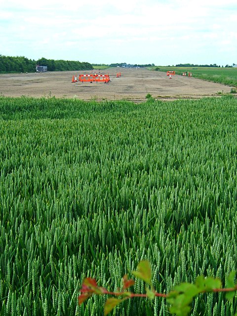
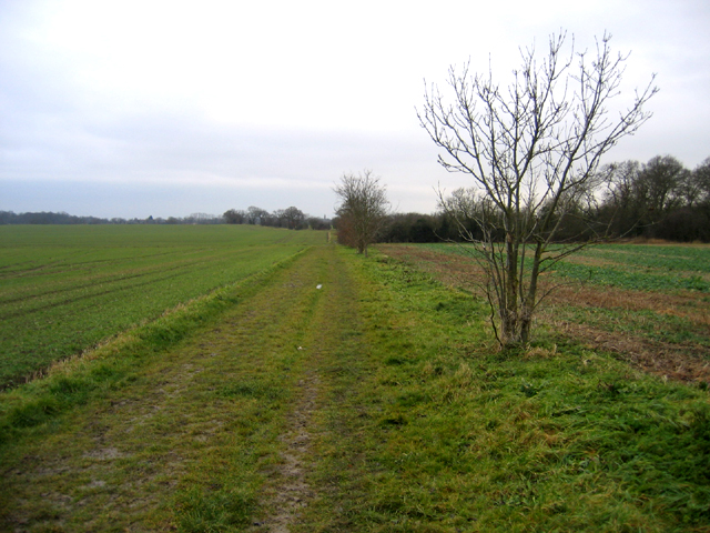
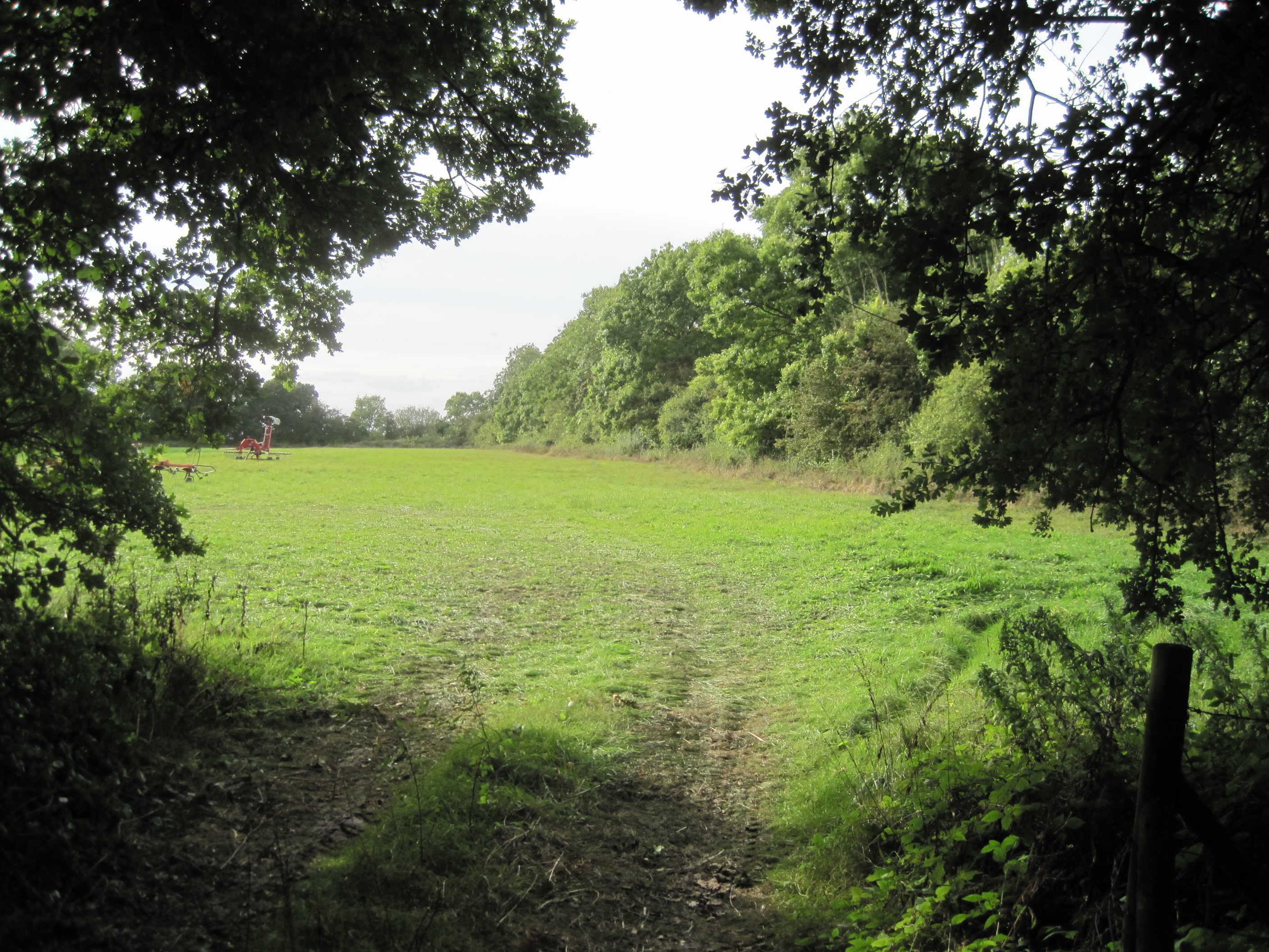
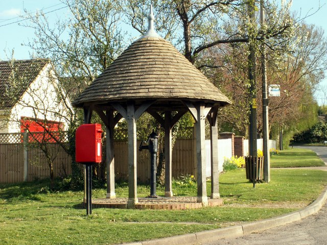
Caldecote Images
Images are sourced within 2km of 52.203042/-0.025921 or Grid Reference TL3557. Thanks to Geograph Open Source API. All images are credited.


Caldecote is located at Grid Ref: TL3557 (Lat: 52.203042, Lng: -0.025921)
Administrative County: Cambridgeshire
District: South Cambridgeshire
Police Authority: Cambridgeshire
What 3 Words
///describes.walks.plates. Near Comberton, Cambridgeshire
Nearby Locations
Related Wikis
Caldecote Meadows
Caldecote Meadows is a 9.1-hectare (22-acre) biological Site of Special Scientific Interest in Caldecote in Cambridgeshire.The site is herb-rich calcareous...
Caldecote, South Cambridgeshire
Caldecote is a village and civil parish in Cambridgeshire, in the district of South Cambridgeshire, England. It lies south of the A428, approximately six...
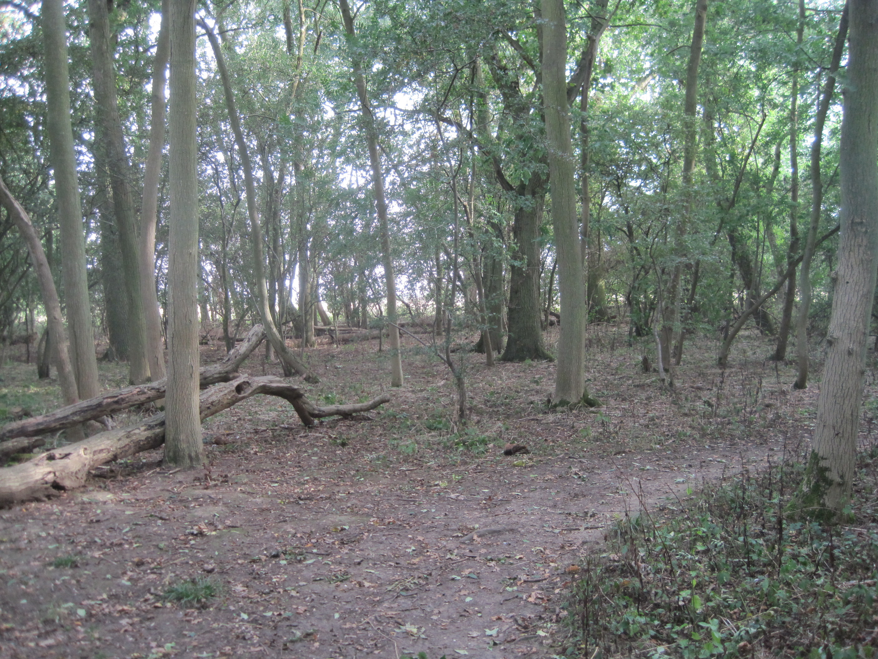
Hardwick Wood
Hardwick Wood is a 15.5-hectare (38-acre) biological Site of Special Scientific Interest southwest of Hardwick in Cambridgeshire. It is managed by the...

Bourn Airfield
Bourn Airport (IATA: n/a, ICAO: EGSN) is located 7 NM (13 km; 8.1 mi) west of Cambridge, Cambridgeshire, England. The airfield was originally constructed...
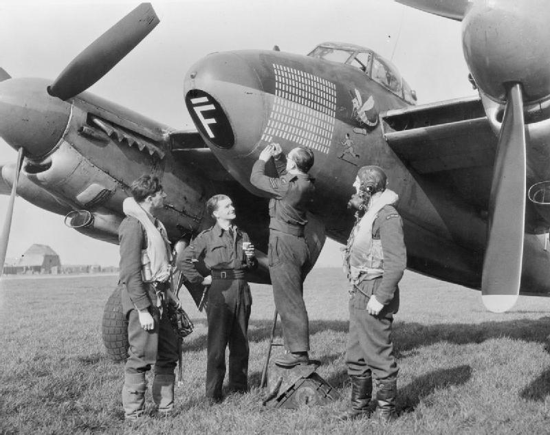
RAF Bourn
Royal Air Force Bourn or more simply RAF Bourn is a former Royal Air Force station located 2 miles (3.2 km) north of Bourn, Cambridgeshire and 6.9 miles...
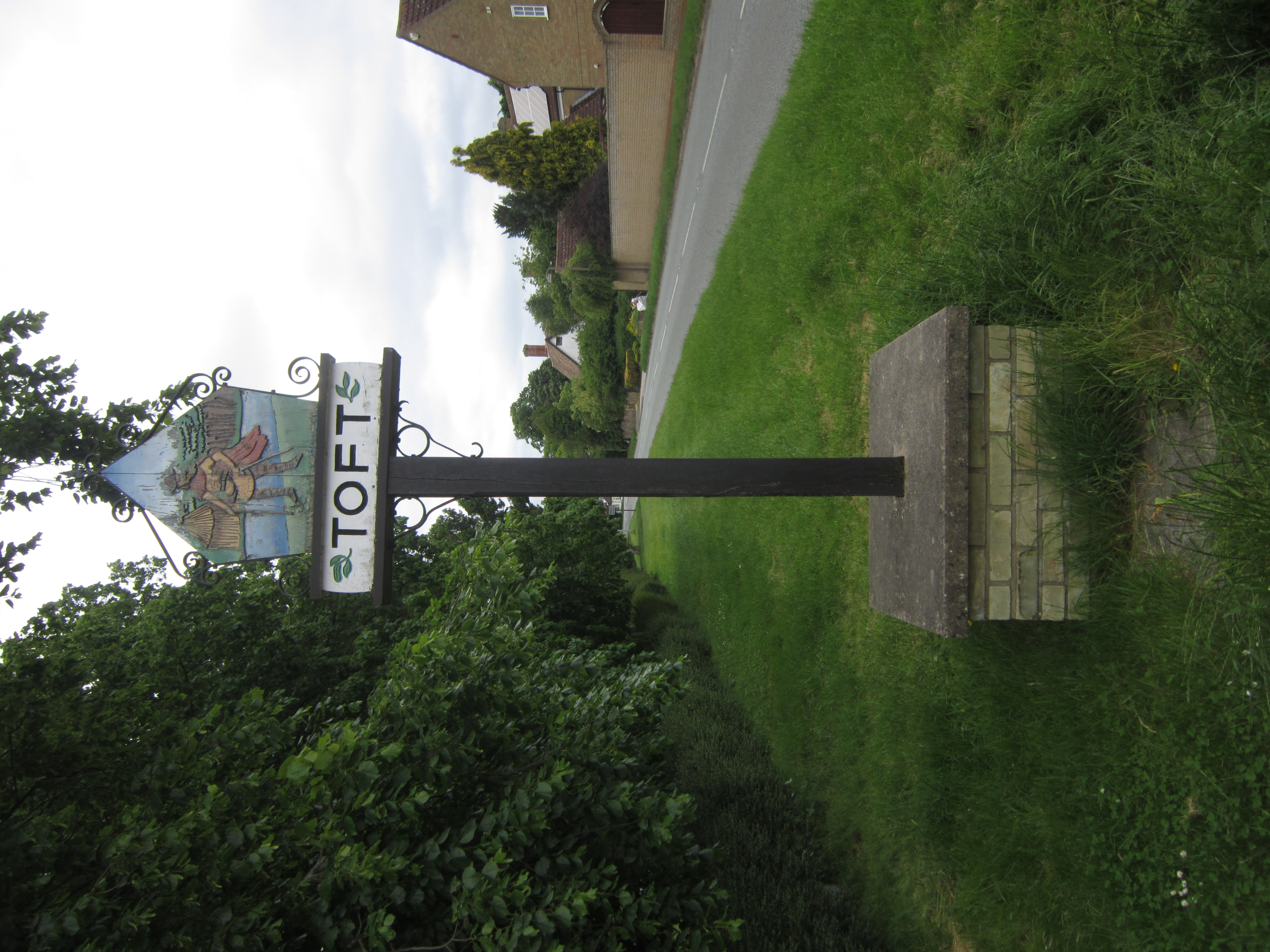
Toft, Cambridgeshire
Toft is a village situated in Cambridgeshire, England. It is approximately six miles to the west of Cambridge, and is situated within four miles of the...
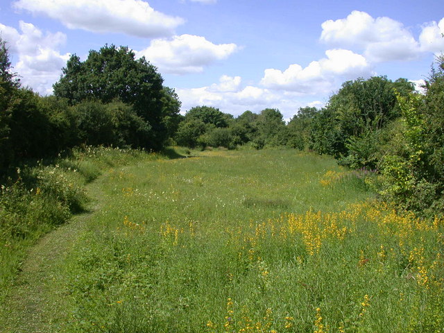
Kingston and Bourn Old Railway
Kingston and Bourn Old Railway or Kingston Amenity Area is a linear 1.9-hectare (4.7-acre) Local Nature Reserve between Kingston and Bourn in Cambridgeshire...
Kingston, Cambridgeshire
Kingston is a small village and parish in the East of England region and the county Cambridgeshire in the United Kingdom. Situated 7 miles to the west...
Nearby Amenities
Located within 500m of 52.203042,-0.025921Have you been to Caldecote?
Leave your review of Caldecote below (or comments, questions and feedback).