Broad Green
Settlement in Surrey
England
Broad Green

Broad Green is a small village located in the county of Surrey, England. Situated approximately 10 miles southeast of the town of Croydon, it falls under the administrative district of the London Borough of Croydon. The village is nestled in a picturesque setting, surrounded by lush green fields and woodland areas.
Broad Green is primarily a residential area with a close-knit community. It offers a peaceful and tranquil environment, making it an attractive place for families and those seeking a quieter lifestyle away from the hustle and bustle of nearby urban centers. The village boasts a range of housing options, including traditional cottages and modern developments.
Although relatively small, Broad Green offers a number of amenities and facilities to cater to its residents' needs. There is a local primary school, providing education for young children in the area. Additionally, the village has a few local shops, a post office, and a small supermarket, ensuring that residents have access to essential services.
Broad Green benefits from excellent transport links, with good road connections to nearby towns and cities. The A23 road runs close to the village, providing easy access to Croydon and the wider London area. There are also several bus routes that serve the village, offering convenient and regular services.
Overall, Broad Green offers a charming and peaceful environment for its residents, with a range of amenities and excellent transport links. Its idyllic location combined with a strong sense of community make it an appealing place to live within the Surrey countryside.
If you have any feedback on the listing, please let us know in the comments section below.
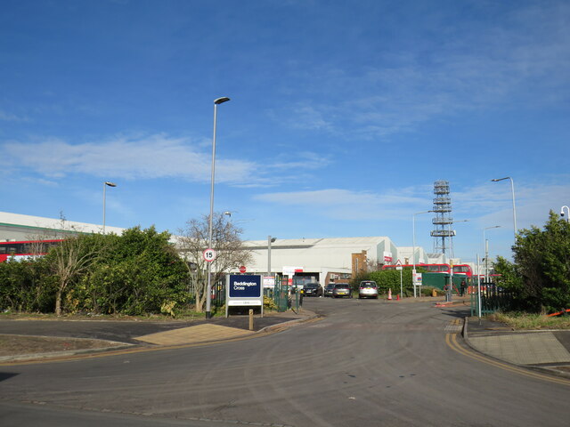
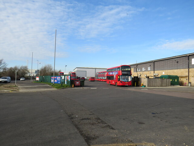
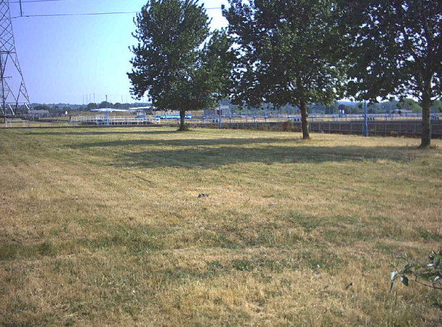
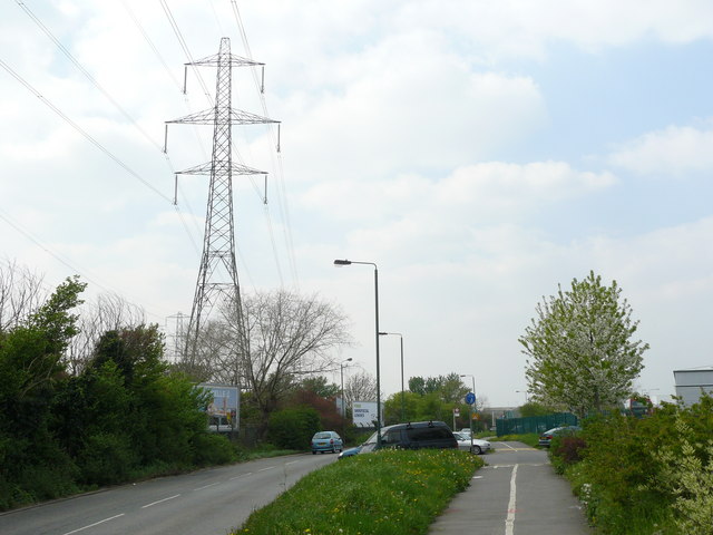
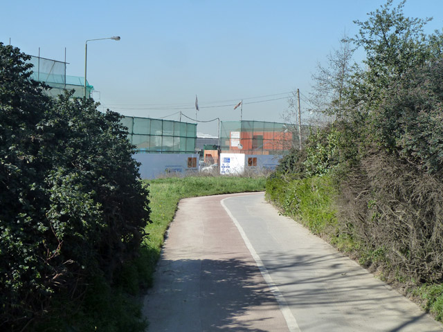
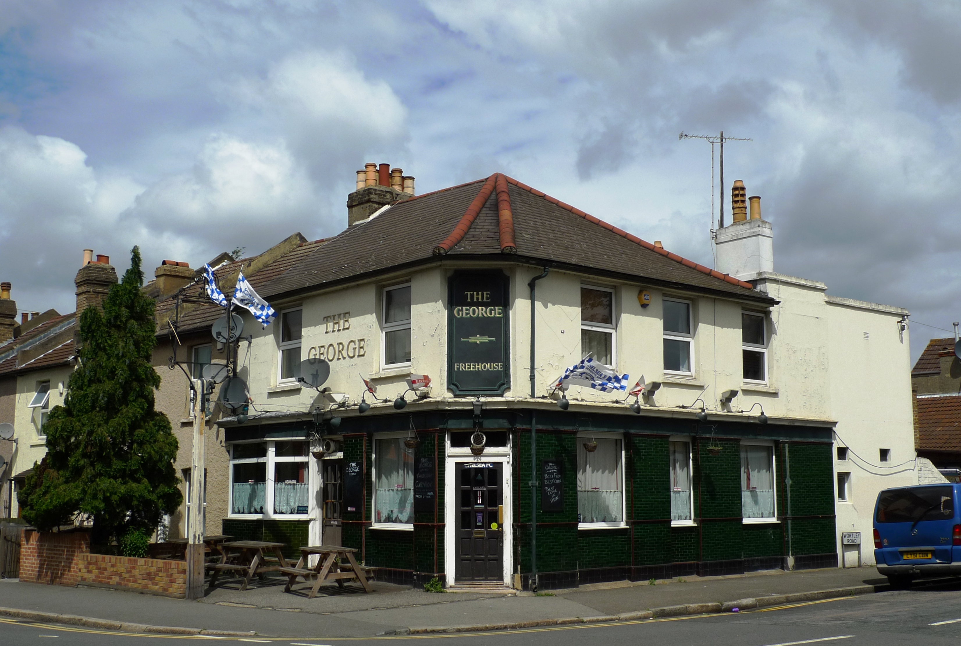
Broad Green Images
Images are sourced within 2km of 51.384282/-0.108947 or Grid Reference TQ3166. Thanks to Geograph Open Source API. All images are credited.


Broad Green is located at Grid Ref: TQ3166 (Lat: 51.384282, Lng: -0.108947)
Unitary Authority: Croydon
Police Authority: Metropolitan
What 3 Words
///curry.clouds.senior. Near Croydon, London
Nearby Locations
Related Wikis

Safari Cinema
Safari Cinema was an entertainment venue at 225 London Road in Broad Green, Croydon. It was opened in 1936, and closed in 2004. The building was demolished...
Broad Green, London
Broad Green is a small residential and retail area between Croydon and Thornton Heath in the London Borough of Croydon. The area was centred on a triangular...
Croydon Co-operative Society
The Croydon Co-operative Society was a cooperative retailer in Croydon and surrounding parts of Surrey, England. In 1918, it became part of the new South...
Harris Invictus Academy Croydon
Harris Invictus Academy Croydon is an 11–18 mixed, free secondary school and sixth form in Croydon, Greater London, England. It was established in September...

Broad Green (ward)
Broad Green is a ward in the London Borough of Croydon, London in the United Kingdom, covering the West Croydon area. Broad Green locality is divided between...

Croydon Mosque
Croydon Mosque & Islamic Centre is a mosque situated in Croydon, London. == History == The story of Croydon Mosque began from informal gatherings in the...
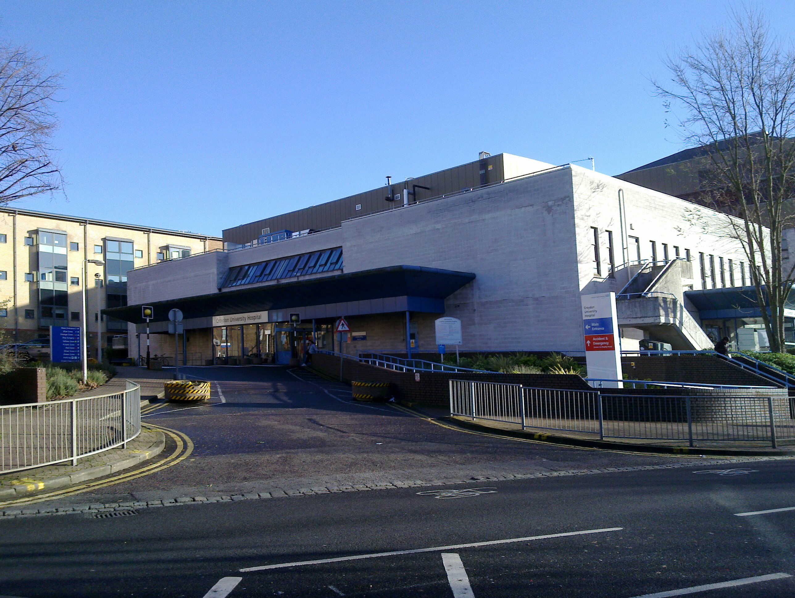
Croydon University Hospital
Croydon University Hospital, known from 1923 to 2002 as Mayday Hospital and from 2002 to 2010 as Croydon Hospital, is a large NHS hospital in Thornton...
Croydon North West (UK Parliament constituency)
Croydon North West was a borough constituency represented in the House of Commons of the Parliament of the United Kingdom. It elected one Member of Parliament...
Nearby Amenities
Located within 500m of 51.384282,-0.108947Have you been to Broad Green?
Leave your review of Broad Green below (or comments, questions and feedback).