Bylaugh
Civil Parish in Norfolk Breckland
England
Bylaugh

Bylaugh is a civil parish located in Norfolk, England. It is situated approximately 13 miles northwest of the city of Norwich and covers an area of about 6.5 square kilometers. The parish is relatively small, with a population of around 100 people.
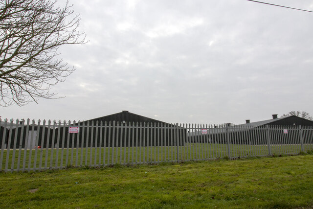
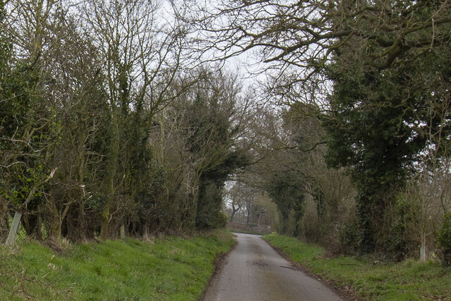
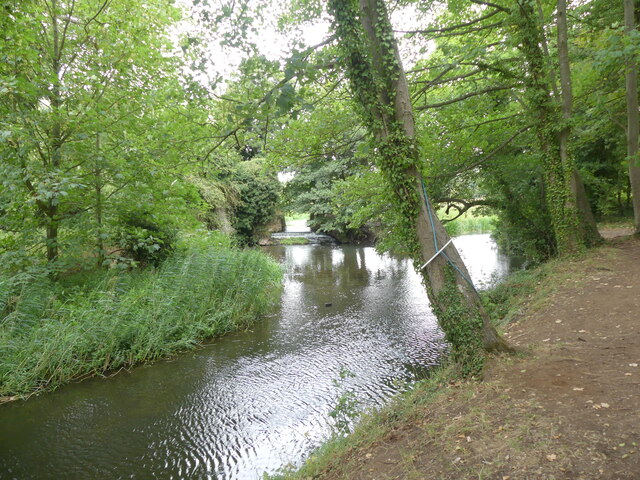
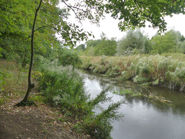
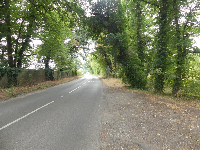
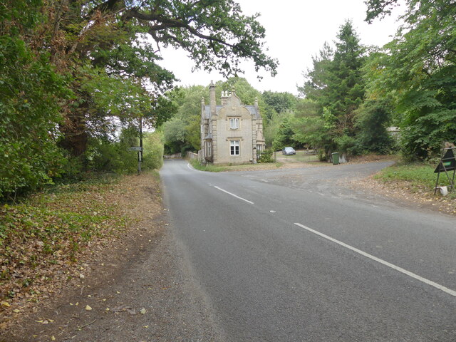
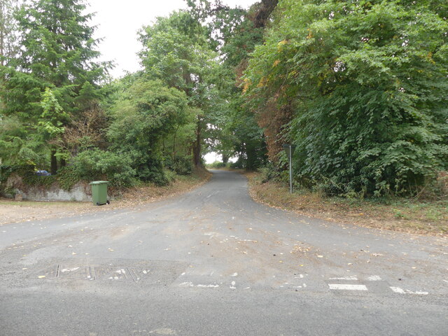
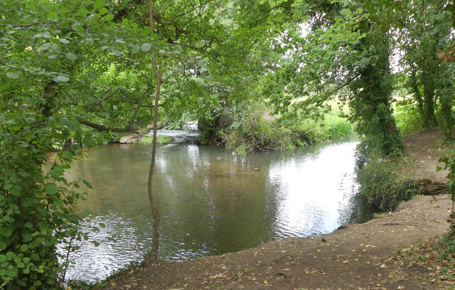
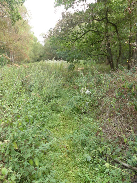
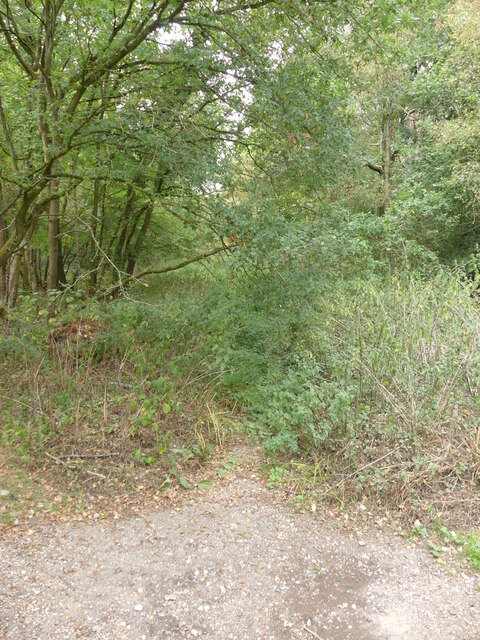
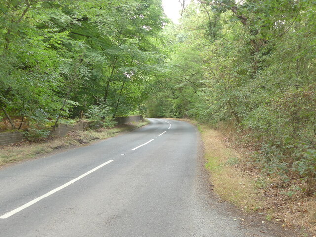
The area is predominantly rural, characterized by open farmland and picturesque countryside. Bylaugh is surrounded by several other civil parishes, including Swanton Morley, Lyng, and Sparham.
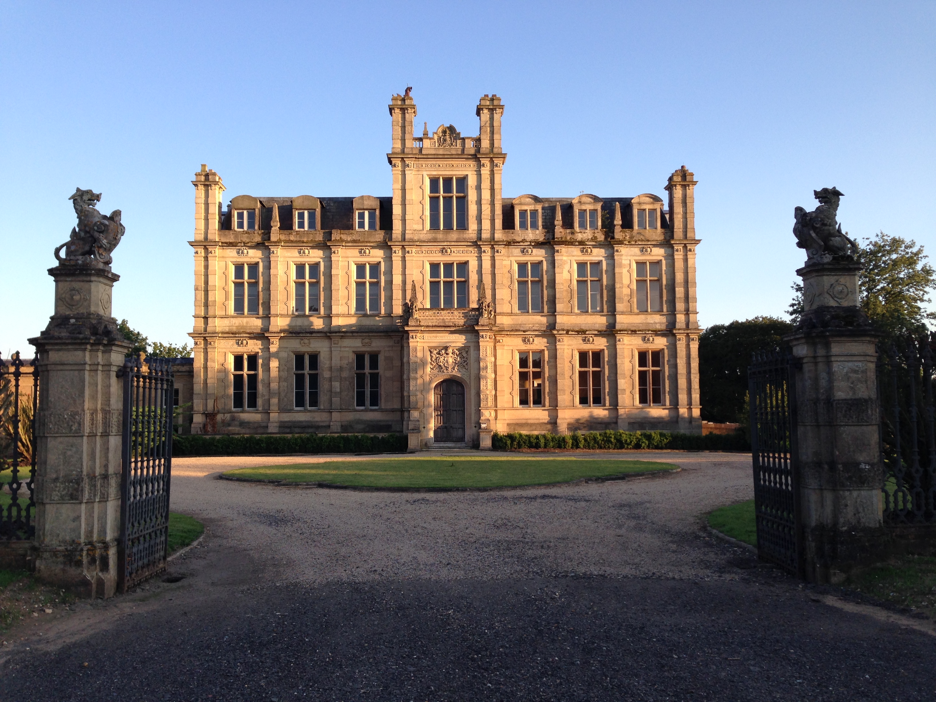
One of the notable landmarks in Bylaugh is Bylaugh Hall, a Grade II* listed building. The hall dates back to the 18th century and is renowned for its stunning architecture and beautiful gardens. It has served various purposes over the years, including being used as a military hospital during World War II.
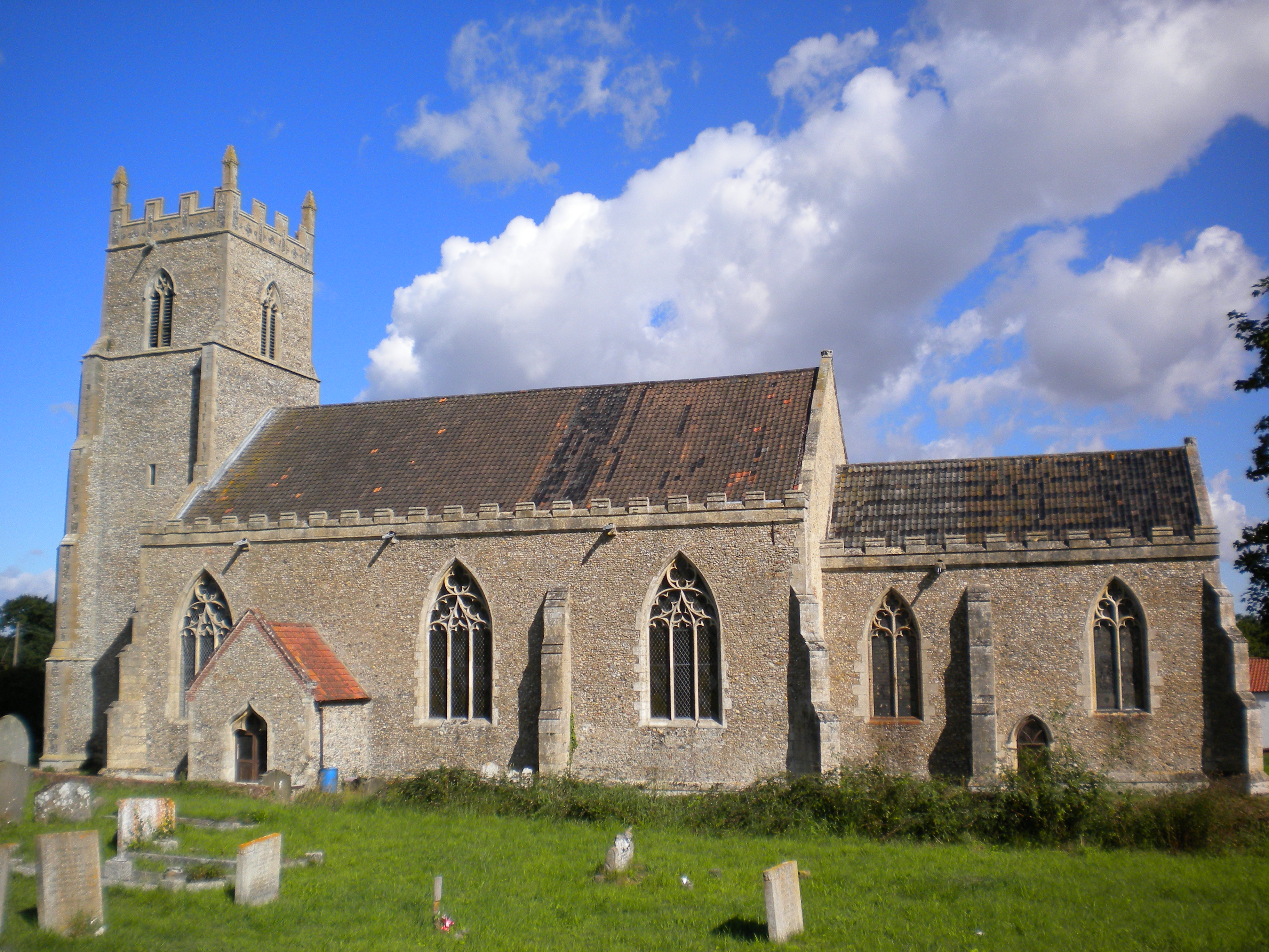
The parish is also home to St. Mary's Church, a medieval church that has been well-preserved. Its architecture features elements from the 14th and 15th centuries, including a 15th-century tower. The church is still in use today and holds regular services.
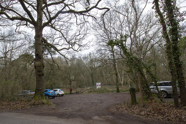
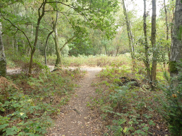
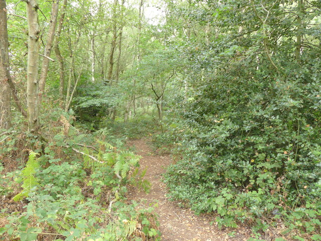
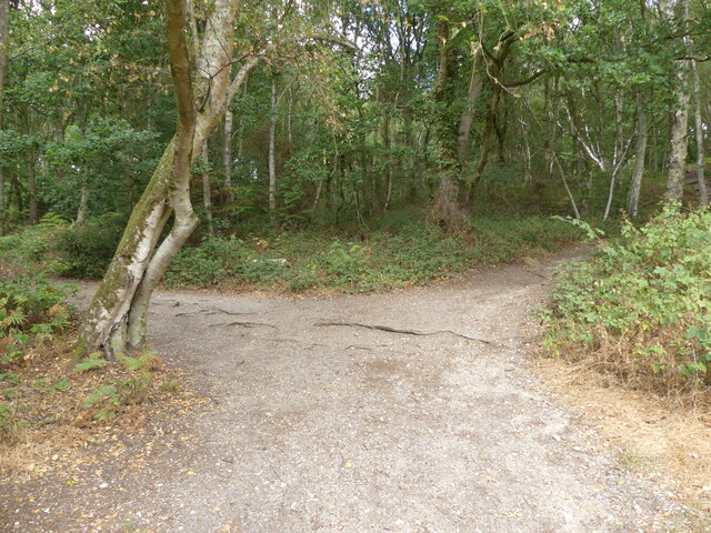
Bylaugh offers a peaceful and idyllic setting for those looking to escape the hustle and bustle of city life. The area is popular with walkers and nature enthusiasts, who can explore the surrounding countryside and enjoy the tranquility of the rural landscape.
Overall, Bylaugh is a charming civil parish in Norfolk, known for its historic buildings, scenic beauty, and rural charm.
If you have any feedback on the listing, please let us know in the comments section below.
Bylaugh Images
Images are sourced within 2km of 52.729976/1.017912 or Grid Reference TG0318. Thanks to Geograph Open Source API. All images are credited.
Bylaugh is located at Grid Ref: TG0318 (Lat: 52.729976, Lng: 1.017912)
Administrative County: Norfolk
District: Breckland
Police Authority: Norfolk
What 3 Words
///dote.cure.illogical. Near North Elmham, Norfolk
Nearby Locations
Related Wikis
Bylaugh Hall
Bylaugh Hall, also known as Bylaugh Park, is a country house situated in the parish of Bylaugh in Norfolk, England. == History == The estate was acquired...

Bylaugh
Bylaugh is a civil parish in Norfolk, England 4.5 miles (7.2 km) north-east of East Dereham and 13.5 miles (21.7 km) WNW of Norwich. For the purposes...

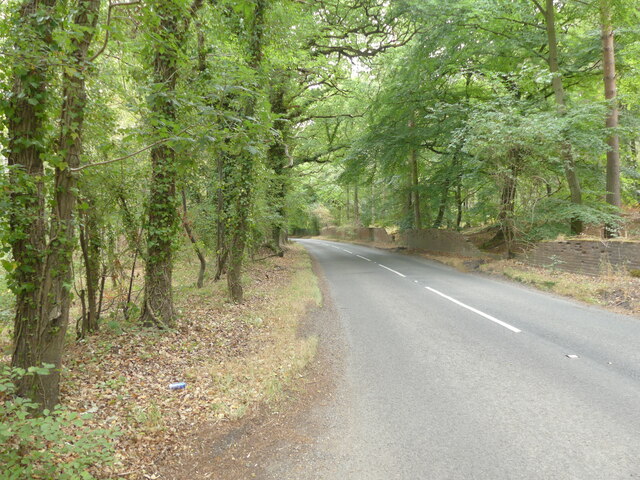
B1145 road
The B1145 runs for about 52 miles (84 km) through the county of Norfolk, England, between King’s Lynn and Mundesley. The road is an alternative route to...

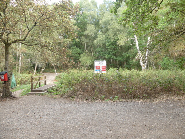
Bawdeswell
Bawdeswell is a small rural village and civil parish in Norfolk, England. At the time of the 2011 census it had a population of 828 and an area of 487...

Billingford, Breckland
Billingford is a village and civil parish in the Breckland district of Norfolk, England, about 3+1⁄2 miles (5.6 km) north of East Dereham. The village...

Beck Hall
Beck Hall, Bec Hall or Bek Hall is a grade II listed 18th-century farmhouse in Billingford, Breckland, Norfolk, England. It is believed to be on the site...
Elsing
Elsing is a village and civil parish in the English county of Norfolk. The village is located 4.2 miles (6.8 km) north-east of Dereham and 12 miles (19...
St Mary's Church, Elsing
St Mary's is an Anglican parish church in Elsing, a small village and civil parish in the Breckland district of Norfolk, England. The 14th-century church...
Nearby Amenities
Located within 500m of 52.729976,1.017912Have you been to Bylaugh?
Leave your review of Bylaugh below (or comments, questions and feedback).