Butley
Civil Parish in Suffolk East Suffolk
England
Butley

Butley is a civil parish located in the county of Suffolk, England. It is situated about 7 miles east of the town of Woodbridge and approximately 15 miles northeast of the county town of Ipswich. The parish covers an area of around 7 square miles and is surrounded by picturesque countryside.
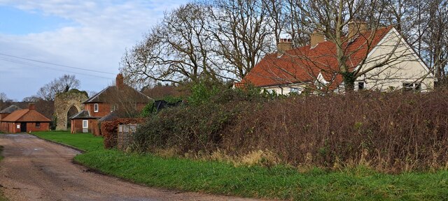
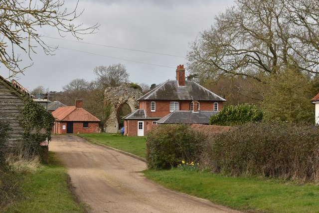
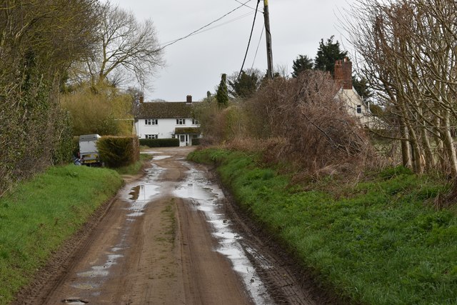
The village of Butley itself is small and charming, with a population of just over 300 residents. It is known for its traditional English village atmosphere and its close-knit community. The village is characterized by its quaint cottages, narrow lanes, and a historic parish church dating back to the 14th century.
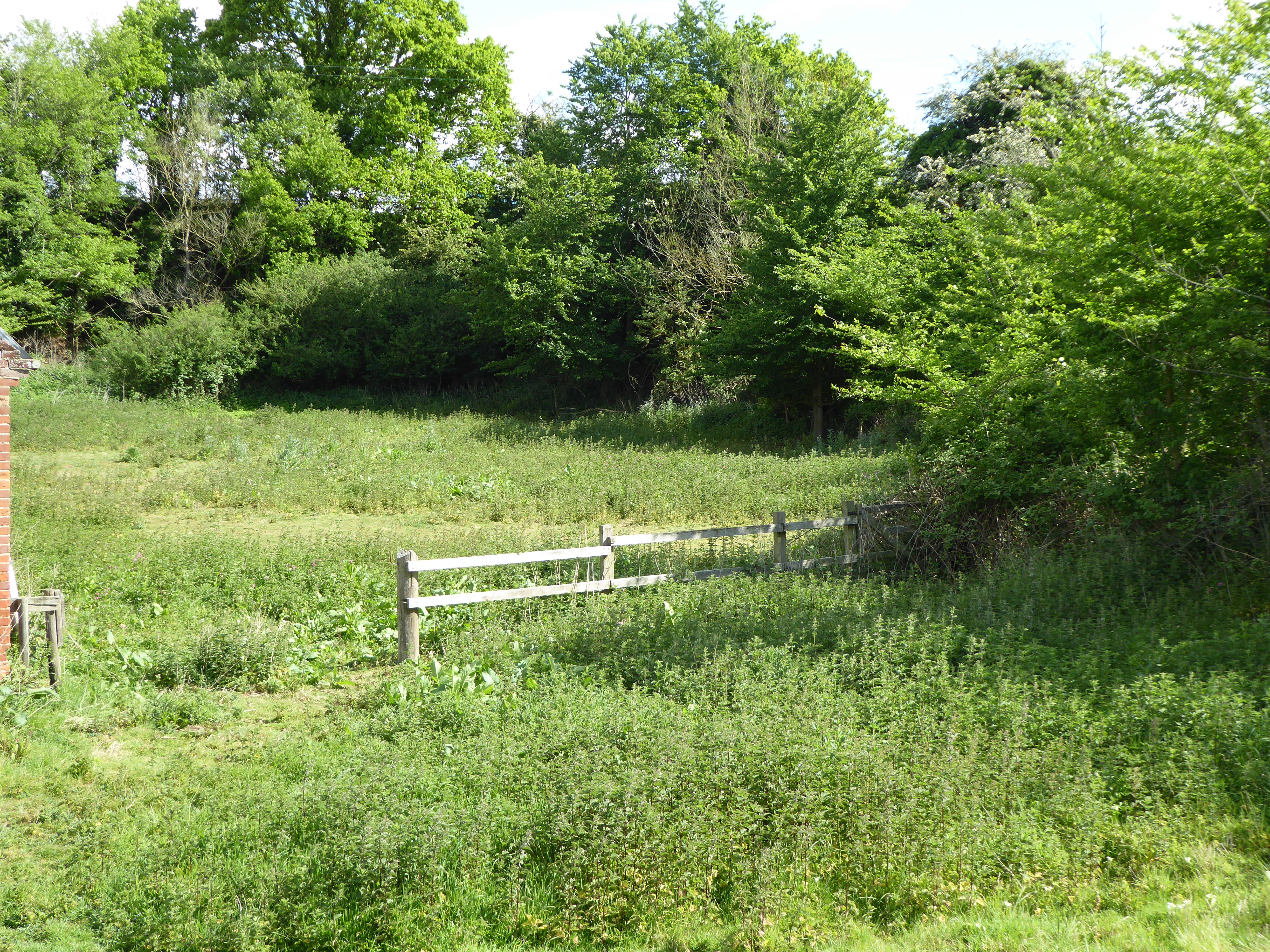
The surrounding countryside is predominantly agricultural, with vast fields of crops and grazing land. The area is also home to several nature reserves, including the Butley River and Butley Creek, which provide habitats for a variety of wildlife. The River Butley flows through the parish and eventually joins the River Ore, making it a popular spot for fishing and boating enthusiasts.
Butley is well-connected to nearby towns and cities by road, with the A12 running just a few miles to the west. The village is also served by public transportation, with regular bus services to Woodbridge and Ipswich.
Overall, Butley is a peaceful and idyllic rural parish, offering a tranquil escape from the hustle and bustle of urban life while remaining within easy reach of larger towns and cities.
If you have any feedback on the listing, please let us know in the comments section below.
Butley Images
Images are sourced within 2km of 52.097306/1.472908 or Grid Reference TM3750. Thanks to Geograph Open Source API. All images are credited.


Butley is located at Grid Ref: TM3750 (Lat: 52.097306, Lng: 1.472908)
Administrative County: Suffolk
District: East Suffolk
Police Authority: Suffolk
What 3 Words
///seasonal.speech.timed. Near Rendlesham, Suffolk
Nearby Locations
Related Wikis

Butley Priory
Butley Priory, sometimes called Butley Abbey, was a religious house of Canons regular (Augustinians, Black canons) in Butley, Suffolk, dedicated to The...

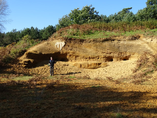
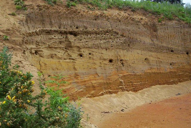
Neutral Farm Pit, Butley
Neutral Farm Pit, Butley is a 1.1-hectare (2.7-acre) geological Site of Special Scientific Interest in Butley, east of Woodbridge in Suffolk. It is a Geological...

Butley, Suffolk
Butley is a village and civil parish in the English county of Suffolk. Butley lies 7+1⁄2 miles (12 km) east of the town of Woodbridge on the B1084 (Orford...

Wantisden
Wantisden is a small village and civil parish in the East Suffolk district of Suffolk in eastern England. Largely consisting of a single farm and ancient...

Rendlesham Forest incident
The Rendlesham Forest incident was a series of reported sightings of unexplained lights near Rendlesham Forest in Suffolk, England, in December 1980, which...

Alde–Ore Estuary
Alde–Ore Estuary is a 2,534 hectare biological and geological Site of Special Scientific Interest which stretches along the Suffolk coast between Aldeburgh...

Sandlings Forest
Sandlings Forest is a 2,483.8 hectare biological Site of Special Scientific Interest in two large blocks, Rendlesham Forest and Tunstall Forest, and two...
Chillesford Church Pit
Chillesford Church Pit is a 1.1-hectare (2.7-acre) geological Site of Special Scientific Interest in Chillesford, south of Saxmundham in Suffolk. It is...
Nearby Amenities
Located within 500m of 52.097306,1.472908Have you been to Butley?
Leave your review of Butley below (or comments, questions and feedback).