Burston and Shimpling
Civil Parish in Norfolk South Norfolk
England
Burston and Shimpling
Burston and Shimpling is a civil parish located in the South Norfolk district of the county of Norfolk, England. It is situated approximately 13 kilometers (8 miles) east of the market town of Diss and covers an area of around 10.5 square kilometers (4 square miles). The parish is made up of two villages, Burston and Shimpling, and is bordered by the parishes of Gissing, Tivetshall St Mary, and Tivetshall St Margaret.
Burston and Shimpling have a combined population of around 600 residents, living in a mix of traditional cottages, farmhouses, and more modern housing. The area is known for its picturesque countryside and has a strong agricultural heritage, with farming playing a significant role in the local economy.
The village of Burston is particularly notable for its connection to the Burston Strike School, which was established in 1914 by local teachers Tom and Kitty Higdon. The school was created in response to unfair treatment of teachers and quickly gained national attention as a symbol of resistance and worker solidarity. Today, the Burston Strike School is a museum and serves as a reminder of the area's historical significance.
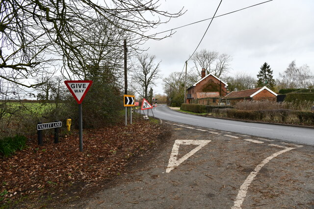
Both Burston and Shimpling have a range of amenities, including a village hall, a church, and a pub. The surrounding countryside offers opportunities for outdoor activities such as walking and cycling, with several footpaths and bridleways passing through the area.
Overall, Burston and Shimpling is a peaceful and picturesque civil parish with a rich history and a close-knit community.
If you have any feedback on the listing, please let us know in the comments section below.
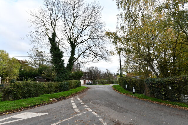
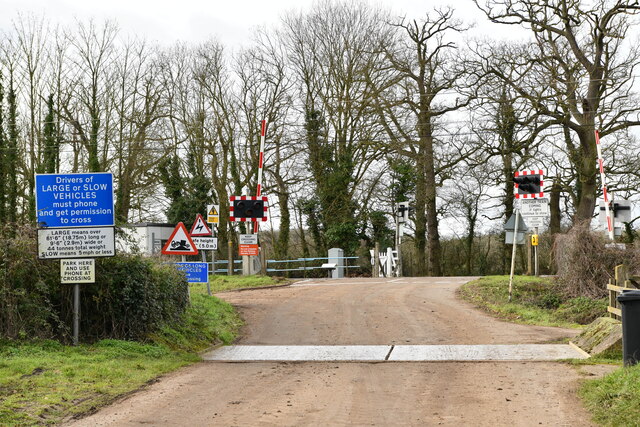
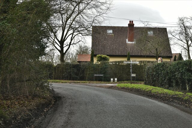
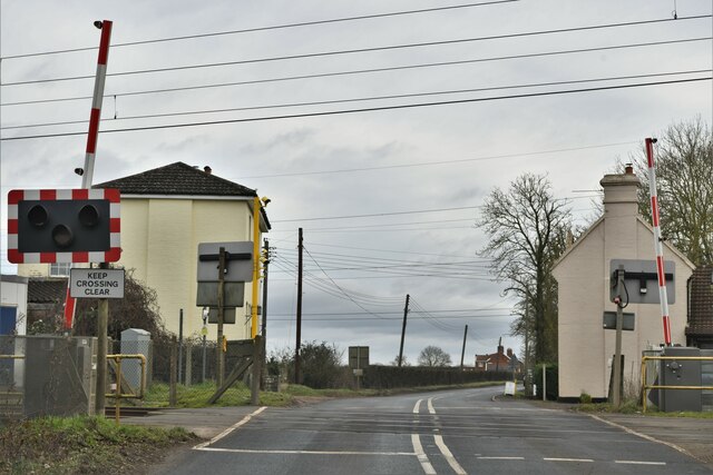
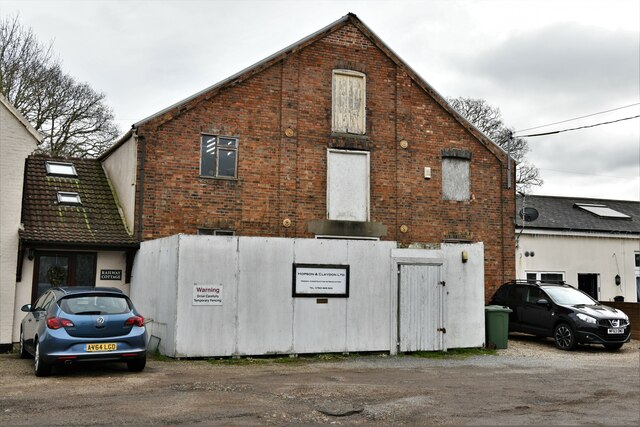
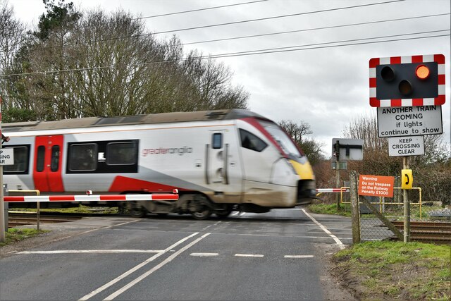
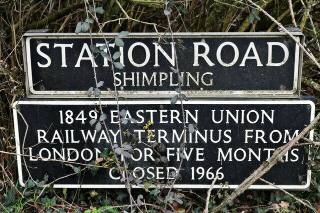
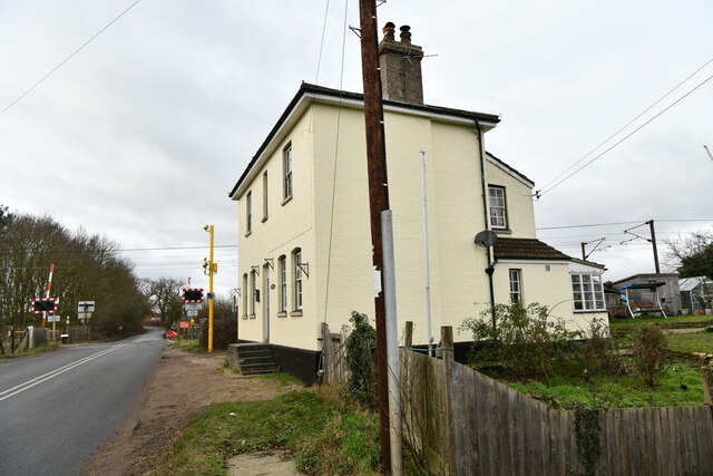
Burston and Shimpling Images
Images are sourced within 2km of 52.404371/1.156066 or Grid Reference TM1483. Thanks to Geograph Open Source API. All images are credited.


Burston and Shimpling is located at Grid Ref: TM1483 (Lat: 52.404371, Lng: 1.156066)
Administrative County: Norfolk
District: South Norfolk
Police Authority: Norfolk
What 3 Words
///district.fortified.laughs. Near Dickleburgh, Norfolk
Nearby Locations
Related Wikis

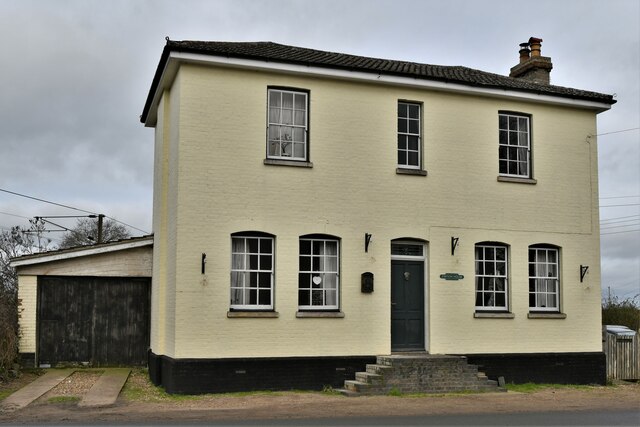
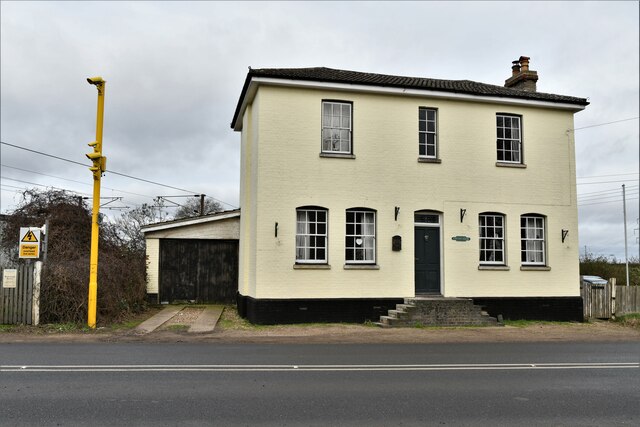
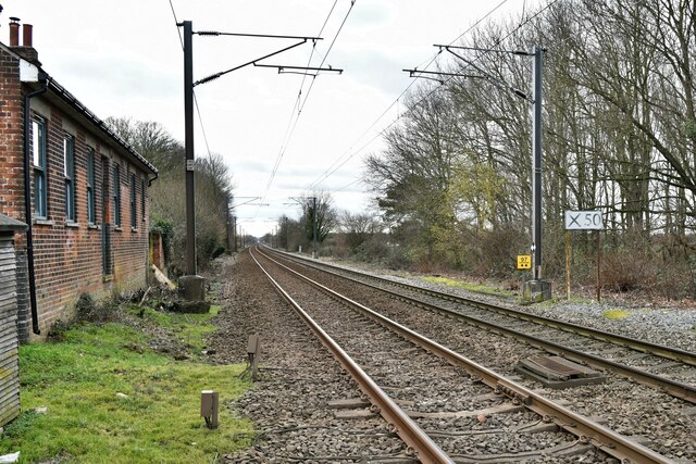
Burston railway station
Burston railway station was on the Diss to Norwich line and served the village of Burston, Norfolk. Only the station building remains; the signal box has...
Shimpling, Norfolk
Shimpling is a village and former civil parish 16 miles (26 km) south of Norwich, now in the parish of Burston and Shimpling, in the South Norfolk district...
Burston and Shimpling
Burston and Shimpling is a civil parish in the county of Norfolk, England. The parish covers an area of 9.17 km2 (3.54 sq mi) and had a population of 538...

Burston, Norfolk
Burston is a village and former civil parish, now in the parish of Burston and Shimpling, in the South Norfolk district, in the county of Norfolk, England...
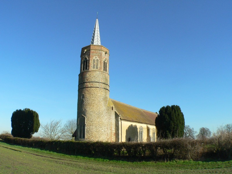
St George's Church, Shimpling
St George's Church is a redundant Anglican church in the village of Shimpling, Norfolk, England. It is recorded in the National Heritage List for England...

Burston Strike School
The Burston Strike School was founded as a consequence of a school strike and became the centre of the longest running strike in British history, that...

Dickleburgh
Dickleburgh is a village and former civil parish, now in the parish of Dickleburgh and Rushall, in the South Norfolk district of the English county of...

Rushall, Norfolk
Rushall is a village and former civil parish, now in the parish of Dickleburgh and Rushall, in the South Norfolk district, in the county of Norfolk, England...
Nearby Amenities
Located within 500m of 52.404371,1.156066Have you been to Burston and Shimpling?
Leave your review of Burston and Shimpling below (or comments, questions and feedback).