Burnhope
Civil Parish in Durham
England
Burnhope

Burnhope is a civil parish located in the county of Durham, in the northeast of England. Situated approximately 8 miles southwest of the city of Durham, Burnhope is a small rural community surrounded by picturesque countryside.
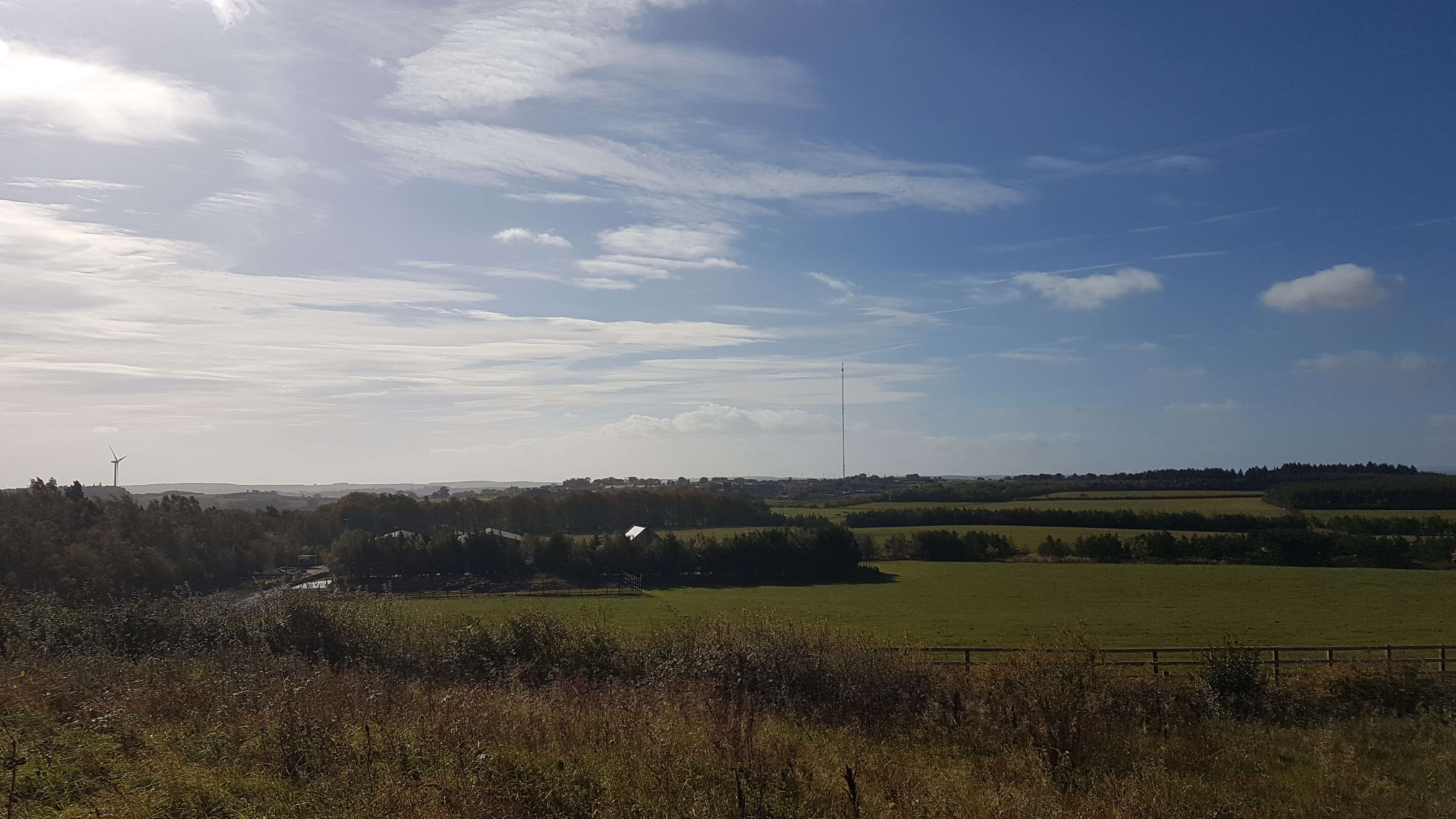
The parish covers an area of about 4 square miles and is home to a population of around 1,000 residents. The village itself is nestled in the valley of the River Browney and is characterized by its charming stone houses and quaint streets.
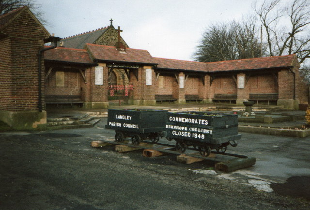
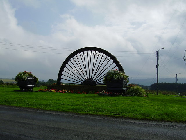
The main industry in Burnhope historically was coal mining, with several pits operating in the area. However, like many mining communities, the industry has declined, and Burnhope now relies on agriculture as its primary source of employment.
The village has a close-knit community and offers a range of amenities and services for its residents. These include a primary school, a village hall, a post office, and a local convenience store. There is also a church, St. John the Evangelist, which dates back to the 19th century and serves as a focal point for the community.
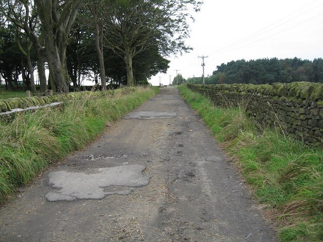
Burnhope is surrounded by beautiful countryside, making it a popular destination for outdoor enthusiasts. The area offers opportunities for hiking, cycling, and fishing, with scenic trails and waterways nearby.
Overall, Burnhope is a small and picturesque civil parish that provides a peaceful and rural setting for its residents, while also offering access to nearby urban amenities in Durham.
If you have any feedback on the listing, please let us know in the comments section below.
Burnhope Images
Images are sourced within 2km of 54.827172/-1.686581 or Grid Reference NZ2048. Thanks to Geograph Open Source API. All images are credited.


Burnhope is located at Grid Ref: NZ2048 (Lat: 54.827172, Lng: -1.686581)
Unitary Authority: County Durham
Police Authority: Durham
What 3 Words
///agenda.pothole.ultra. Near Langley Park, Co. Durham
Nearby Locations
Related Wikis
Burnhope
Burnhope is a village and civil parish in County Durham, England. It is located in the Craghead valley on the opposite side to Stanley and has 1,564 inhabitants...

Holmside Hall
Holmside Hall is an early 19th-century farmhouse and equestrian centre at Holmside, Burnhope, County Durham, England. The farm is built on the site of...
Holmside
Holmside is a village in County Durham, in England. It is situated to the north-west of Sacriston. The village has a 5.5 MW wind farm, Holmside Hall Wind...
Burnhope transmitting station
The Burnhope transmitting station is a television transmitter in the north of England. == History == === Construction === It was originally built by BICC...
Nearby Amenities
Located within 500m of 54.827172,-1.686581Have you been to Burnhope?
Leave your review of Burnhope below (or comments, questions and feedback).