Burnham-on-Crouch
Civil Parish in Essex Maldon
England
Burnham-on-Crouch
Burnham-on-Crouch is a civil parish located in the Maldon district of Essex, England. Situated on the north bank of the River Crouch, it is a charming town that offers a mix of history, natural beauty, and a thriving sailing community.
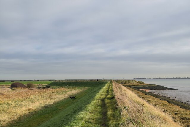
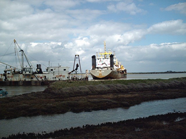
The town is known for its picturesque waterfront, lined with traditional buildings and a promenade that allows visitors to enjoy stunning views of the river and the surrounding countryside. The River Crouch is a popular spot for boating enthusiasts, and the local yacht clubs attract sailors from all over the country. The town also hosts various regattas and sailing events throughout the year.
In addition to its maritime heritage, Burnham-on-Crouch has a rich history dating back to Roman times. The town's name is believed to have originated from the Saxon word "Burna-ham," meaning "settlement on a river bend." The remains of a Roman fort, known as Othona, can still be seen in the area.
The town center features a mix of independent shops, cafes, restaurants, and traditional pubs, offering visitors a range of options for shopping and dining. The Burnham Museum provides an insight into the town's history, showcasing artifacts and displays that highlight its past.
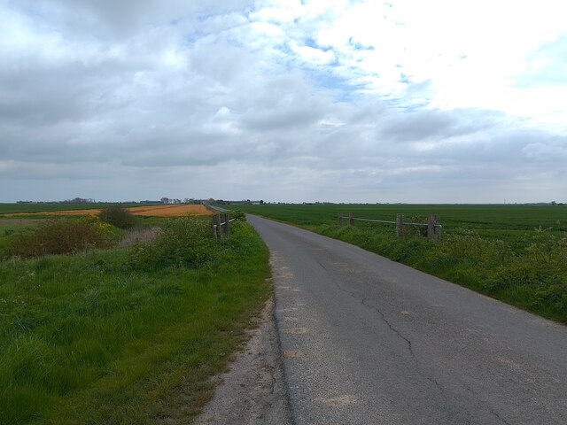
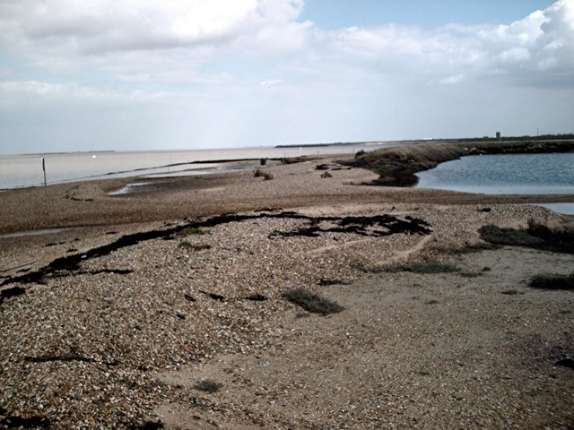
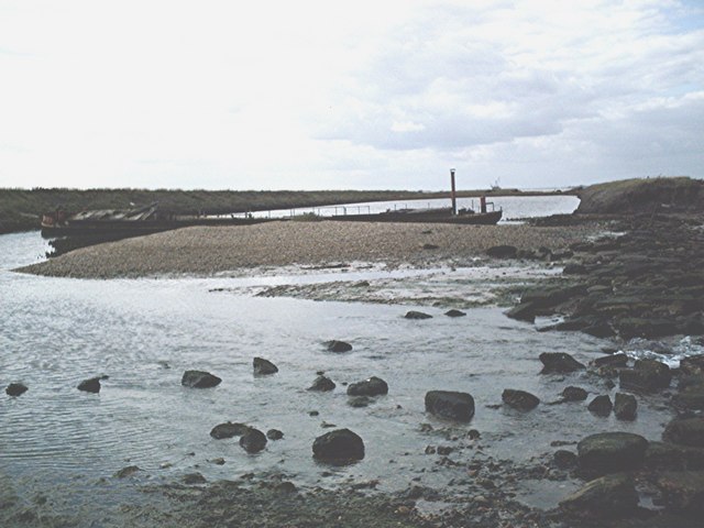
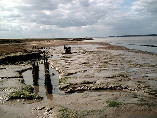
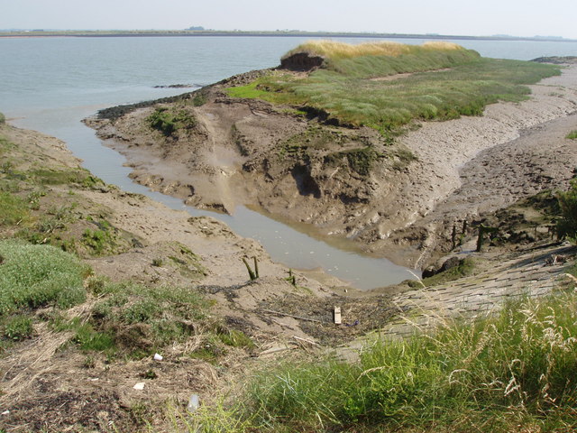
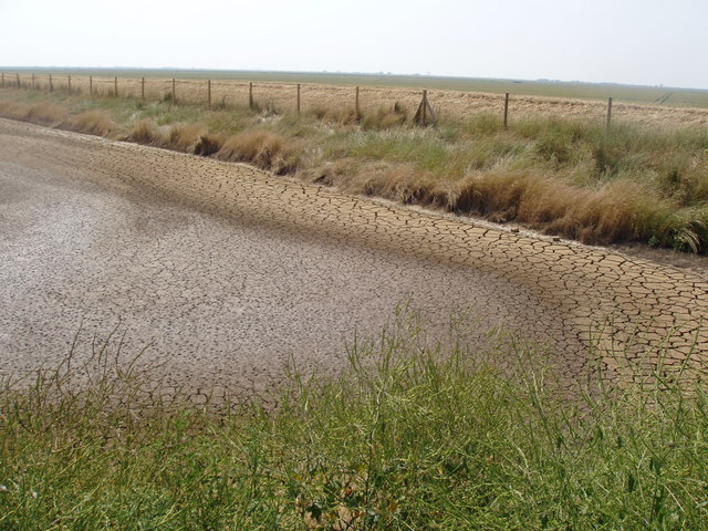
For nature lovers, Burnham-on-Crouch offers beautiful coastal walks and nature reserves, such as Wallasea Island, which is home to a diverse range of bird species and other wildlife.
Overall, Burnham-on-Crouch is a charming and historic town, offering visitors a delightful blend of maritime heritage, natural beauty, and a warm community spirit.
If you have any feedback on the listing, please let us know in the comments section below.
Burnham-on-Crouch Images
Images are sourced within 2km of 51.631452/0.859125 or Grid Reference TQ9796. Thanks to Geograph Open Source API. All images are credited.


Burnham-on-Crouch is located at Grid Ref: TQ9796 (Lat: 51.631452, Lng: 0.859125)
Administrative County: Essex
District: Maldon
Police Authority: Essex
What 3 Words
///hammocks.tweeted.eats. Near Burnham-on-Crouch, Essex
Nearby Locations
Related Wikis
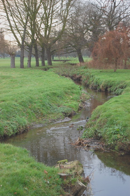
River Roach
The River Roach is a river that flows entirely through the English county of Essex. It is one of four main streams that originate in the Rayleigh Hills...

Wallasea Wetlands
Wallasea Wetlands is a reclaimed wetlands area located in Essex, England. It has been created as part of a government-funded wetlands scheme to halt the...

Royal Corinthian Yacht Club
The Royal Corinthian Yacht Club is a watersports organisation based at Burnham-on-Crouch, Essex. == History == === Early history === The club was founded...
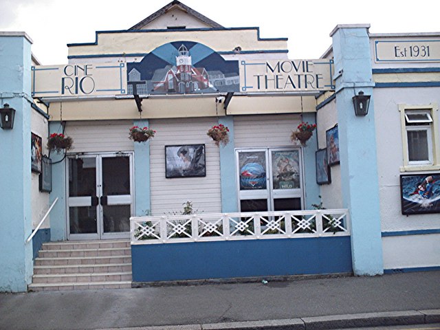
Rio Cinema (Burnham on Crouch)
The Rio Cinema is a purpose-built, two-screen, 280-seat cinema in Burnham on Crouch, Essex in the United Kingdom. The building dates from 1931. The Burnham...

Burnham-on-Crouch
Burnham-on-Crouch is a town and civil parish in the Maldon District of Essex, in the East of England; it lies on the north bank of the River Crouch. It...

St Mary's Church, Burnham on Crouch
St Mary's Church is a Church of England church in Burnham on Crouch, Essex. It is Grade II* listed == References ==

Burnham-on-Crouch & District Museum
The Burnham-on-Crouch and District Museum, located in Burnham-on-Crouch, Essex, is a registered charity run by members of the Burnham History Society,...
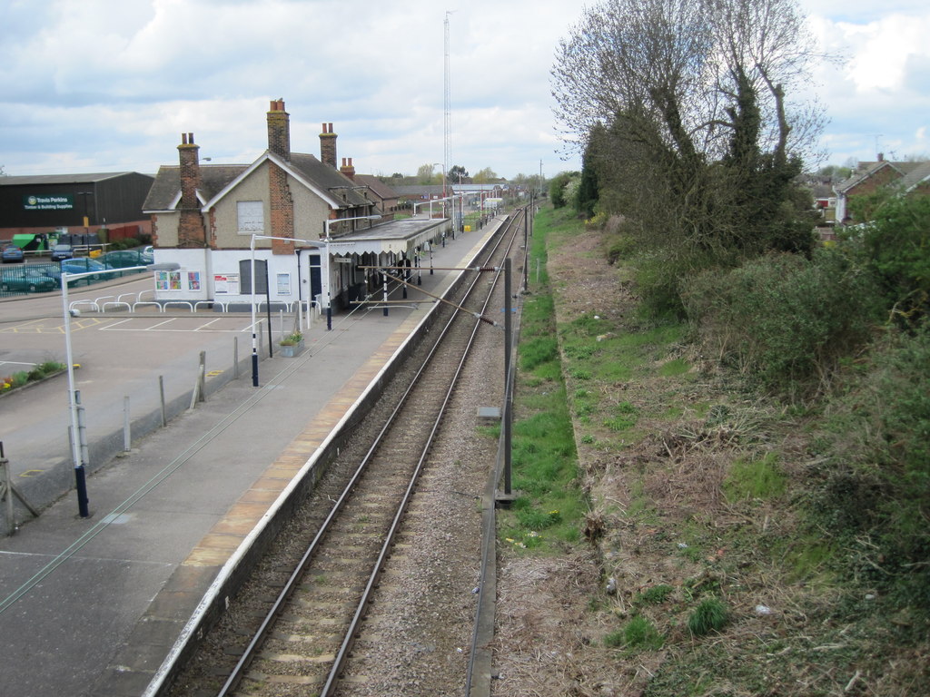
Burnham-on-Crouch railway station
Burnham-on-Crouch railway station is on the Crouch Valley Line in the East of England, serving the town of Burnham-on-Crouch, Essex. It is 43 miles 24...
Have you been to Burnham-on-Crouch?
Leave your review of Burnham-on-Crouch below (or comments, questions and feedback).