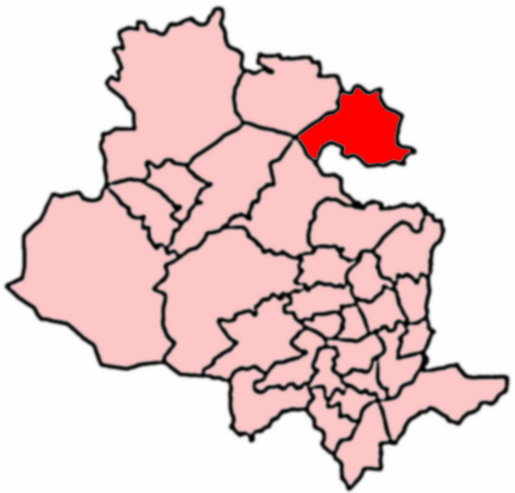
Burley
Civil Parish in Yorkshire Bradford
England
Burley
Burley is a civil parish located in the county of Yorkshire, England. It is situated in the southern part of the county, within the district of Bradford. The village of Burley lies approximately 10 miles northwest of the city of Bradford and is surrounded by picturesque countryside.
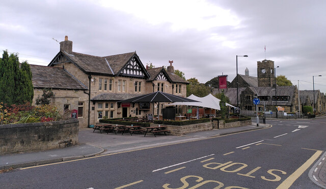
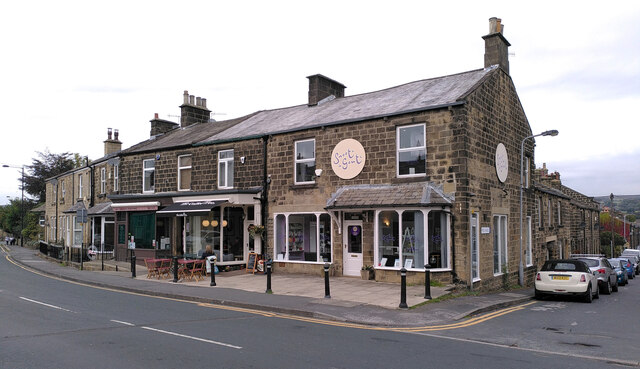
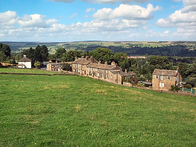
With a population of around 3,000 residents, Burley is a small but charming village that offers a peaceful and idyllic setting. The village is known for its traditional stone-built houses, many of which date back to the 19th century, giving Burley a distinct architectural character.
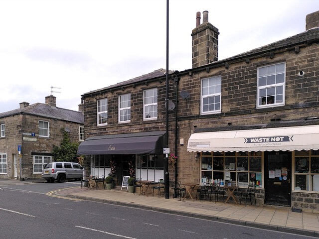
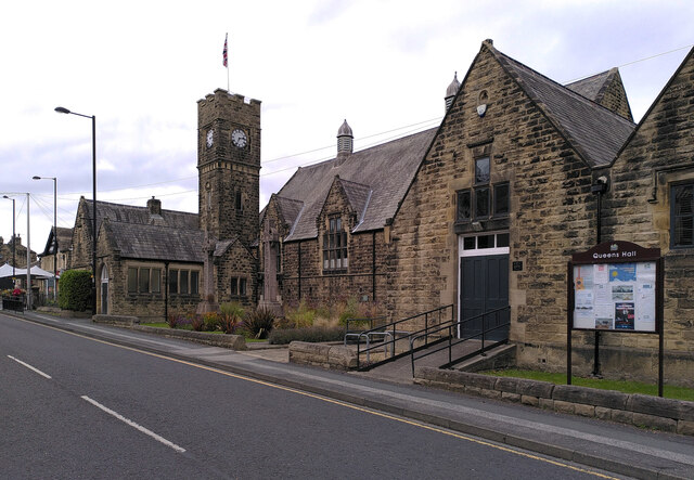
Burley is well-served by amenities and facilities, including a range of shops, cafes, and pubs, which provide residents with all the necessary conveniences. The village also has a primary school, providing education for local children.
Nature enthusiasts will be delighted by the surrounding countryside, which offers ample opportunities for outdoor activities such as hiking, cycling, and horse riding. The nearby Ilkley Moor and Otley Chevin are popular destinations for nature lovers, providing stunning views and scenic walks.
Burley is also within close proximity to several major cities, making it an attractive location for commuters. The city of Leeds is approximately 15 miles away, while Bradford and Harrogate are also easily accessible.
Overall, Burley is a charming village that combines the beauty of the Yorkshire countryside with the convenience of nearby cities. With its rich history, stunning architecture, and access to nature, Burley offers residents a welcoming and peaceful place to call home.
If you have any feedback on the listing, please let us know in the comments section below.
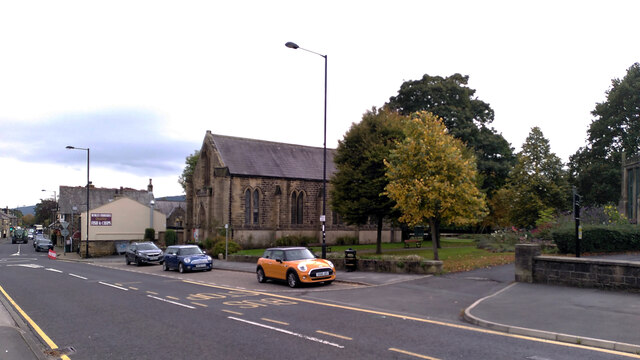
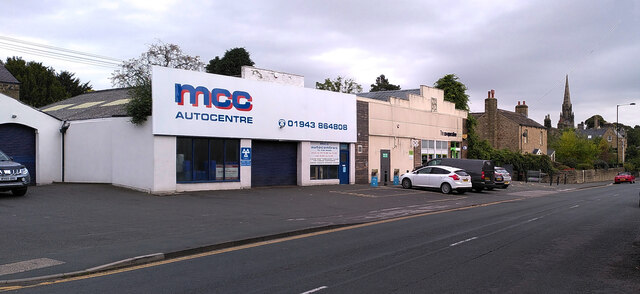
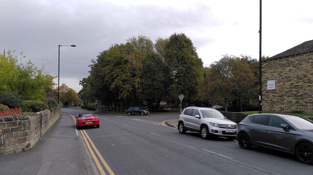
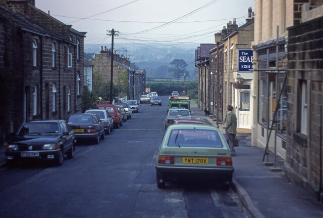
Burley Images
Images are sourced within 2km of 53.90563/-1.770387 or Grid Reference SE1545. Thanks to Geograph Open Source API. All images are credited.


Burley is located at Grid Ref: SE1545 (Lat: 53.90563, Lng: -1.770387)
Division: West Riding
Administrative County: West Yorkshire
District: Bradford
Police Authority: West Yorkshire
What 3 Words
///narrowest.giggled.stolen. Near Burley in Wharfedale, West Yorkshire
Nearby Locations
Related Wikis

Scalebor Park Hospital
Scalebor Park Hospital was a mental health facility at Burley in Wharfedale in West Yorkshire, England. == History == The hospital, which was designed...

Burley-in-Wharfedale railway station
Burley-in-Wharfedale railway station serves the village of Burley in Wharfedale in West Yorkshire, England, in the City of Bradford. The station lies on...
Wharfedale (ward)
Wharfedale is a ward in the north east of the City of Bradford Metropolitan District Council in West Yorkshire, England and is situated in Wharfedale...
Burley Woodhead
Burley Woodhead is a hamlet in the City of Bradford, in West Yorkshire, England. The hamlet is 1 mile (1.6 km) to the south-west of Burley in Wharfedale...

Burley in Wharfedale
Burley in Wharfedale is a village and civil parish in West Yorkshire, England, in the Wharfedale valley. In 2011, it had a population of 7,041. The village...

Grubstones
The Grubstones (grid reference SE136447) is a stone circle on Burley Moor in West Yorkshire, England. It is believed to be either an embanked stone circle...
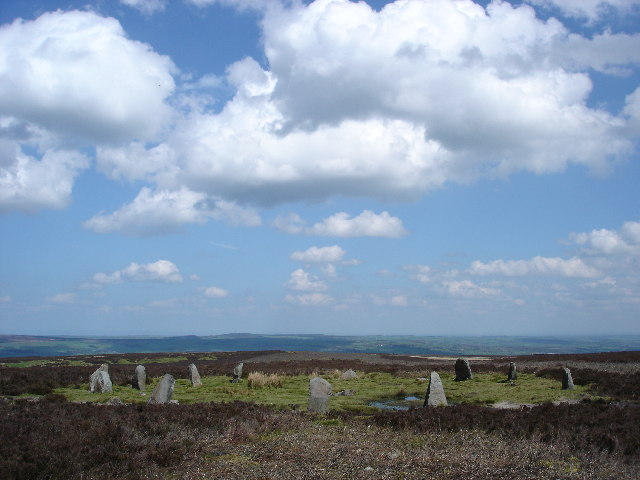
Twelve Apostles, West Yorkshire
The Twelve Apostles (grid reference SE12614506) is a stone circle near Ilkley and Burley in Wharfedale in West Yorkshire, England. == Location == Located...

Menston railway station
Menston railway station serves Menston in the City of Bradford, West Yorkshire, England. On the Wharfedale Line between Ilkley and Leeds/Bradford Forster...
Nearby Amenities
Located within 500m of 53.90563,-1.770387Have you been to Burley?
Leave your review of Burley below (or comments, questions and feedback).