Burgh St. Peter
Civil Parish in Norfolk South Norfolk
England
Burgh St. Peter
Burgh St. Peter is a civil parish located in the county of Norfolk, England. Situated on the eastern edge of the Norfolk Broads, it is nestled between the River Waveney to the north and the River Yare to the south. The parish covers an area of approximately 8 square miles and has a population of around 400 people.
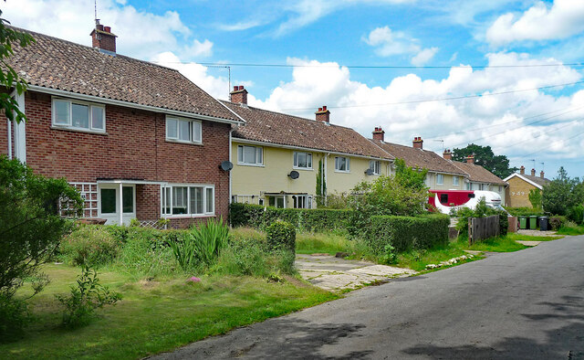
The village of Burgh St. Peter is known for its tranquil and picturesque setting, with its charming thatched cottages and traditional red-brick houses. The surrounding countryside is predominantly agricultural, with vast fields and meadows that offer breathtaking views and scenic walks.
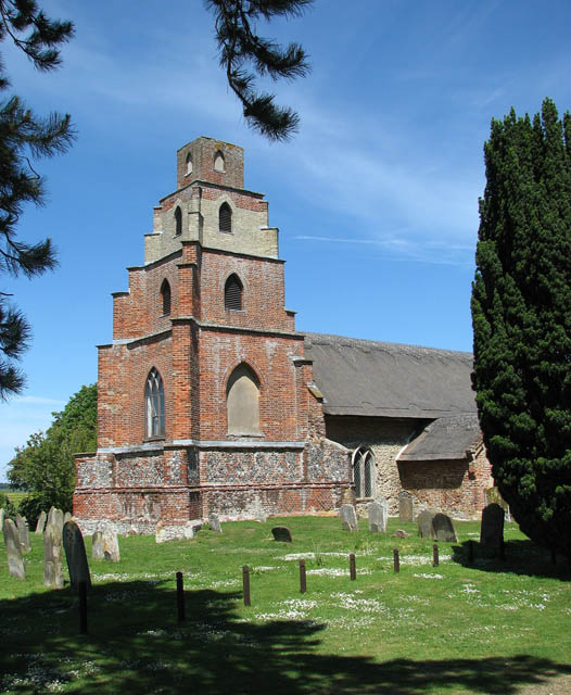
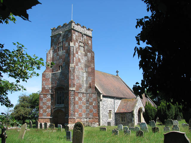
The parish is home to the historic St. Peter's Church, which dates back to the 12th century. This beautiful medieval church showcases stunning architectural features and is a popular attraction for history enthusiasts and visitors alike.
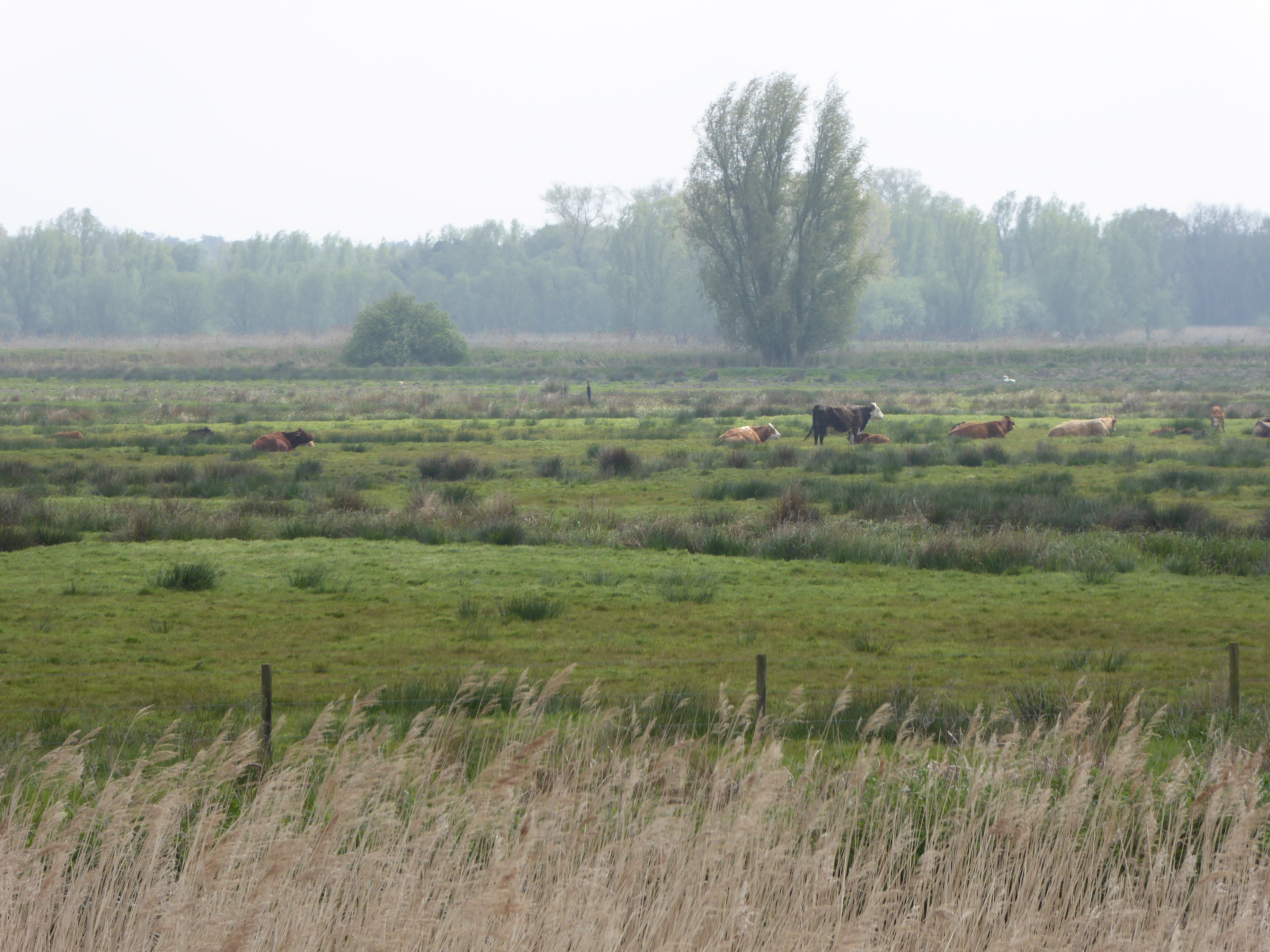
Burgh St. Peter is also renowned for its connection to the Norfolk Broads, a network of rivers, lakes, and marshes that make up one of the UK's most important wetland areas. Boating and fishing are popular activities among locals and tourists, who can explore the waterways and enjoy the abundant wildlife that thrives in this unique ecosystem.
In terms of amenities, Burgh St. Peter boasts a village hall that serves as a community hub hosting various events and activities throughout the year. The nearest shops and services can be found in the neighboring villages of Belton and Bradwell, just a short distance away.
Overall, Burgh St. Peter offers a peaceful and idyllic setting with a strong connection to nature and the Norfolk Broads, making it an attractive destination for those seeking a rural retreat or a taste of traditional English countryside life.
If you have any feedback on the listing, please let us know in the comments section below.
Burgh St. Peter Images
Images are sourced within 2km of 52.49065/1.646633 or Grid Reference TM4794. Thanks to Geograph Open Source API. All images are credited.


Burgh St. Peter is located at Grid Ref: TM4794 (Lat: 52.49065, Lng: 1.646633)
Administrative County: Norfolk
District: South Norfolk
Police Authority: Norfolk
What 3 Words
///nests.struts.arranges. Near Beccles, Suffolk
Nearby Locations
Related Wikis
Burgh St Peter
Burgh St Peter is a village and civil parish in the South Norfolk district of Norfolk, England. The village is about 3+1⁄2 miles (6 km) northeast of Beccles...
Wheatacre
Wheatacre is a civil parish in the English county of Norfolk. It covers an area of 4.38 km2 (1.69 sq mi) and had a population of 112 in 43 households at...

Somerleyton railway station
Somerleyton railway station is on the Wherry Lines in the east of England, serving the village of Somerleyton, Suffolk. It is 18 miles (29 km) down the...
Barnby Broad and Marshes
Barnby Broad and Marshes is a Site of Special Scientific Interest (SSSI) in the Waveney district of the English county of Suffolk. The site is 189.6 hectares...
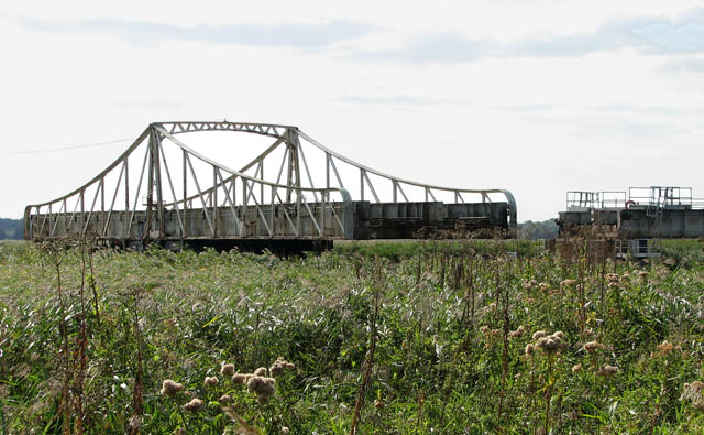
Somerleyton Swing Bridge
Somerleyton Swing Bridge is a railway swing bridge over the River Waveney on the Norfolk-Suffolk border. It was built in 1905 to carry the double tracked...

Aldeby
Aldeby is a village and civil parish in the English county of Norfolk. It is bounded to the south by the River Waveney, on the other side of which is Suffolk...
Oulton Dyke
Oulton Dyke is a freshwater stretch of water in the Norfolk Broads, located in Suffolk within the United Kingdom. The dyke connects Oulton Broad near Lowestoft...

Aldeby railway station
Aldeby railway station was a station in Aldeby, in the English county of Norfolk. It was on the line between Great Yarmouth and Beccles; the station was...
Nearby Amenities
Located within 500m of 52.49065,1.646633Have you been to Burgh St. Peter?
Leave your review of Burgh St. Peter below (or comments, questions and feedback).