Buckminster

Civil Parish in Leicestershire Melton

England

Buckminster

Benchmark on St John the Baptist's Church Ordnance Survey cut mark benchmark described on the Bench Mark Database at <span class="nowrap"><a title="www.bench-marks.org.uk/bm61430" rel="nofollow ugc noopener" href="http://www.bench-marks.org.uk/bm61430">Link</a><img style="margin-left:2px;" alt="External link" title="External link - shift click to open in new window" src="https://s1.geograph.org.uk/img/external.png" width="10" height="10"/></span>
Benchmark on St John the Baptist's Church Credit: Phil Richards

Buckminster is a small civil parish located in the county of Leicestershire, England. It is situated approximately 10 miles east of the city of Leicester and covers an area of around 1.5 square miles. The parish is rural in nature and is surrounded by picturesque countryside, making it a popular destination for nature lovers and those seeking a peaceful retreat.

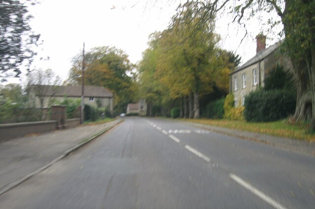
The village of Buckminster itself is quaint and charming, with a population of around 200 residents. It is known for its traditional English architecture, with many buildings dating back several centuries. The centerpiece of the village is the historic Buckminster Hall, a Grade II listed building that was once the ancestral home of the Buckminster family.

Despite its small size, Buckminster has a strong sense of community, with various local events and activities organized throughout the year. The parish also has a village hall, which serves as a hub for social gatherings and community meetings.

The surrounding countryside offers ample opportunities for outdoor pursuits, such as walking, cycling, and horse riding. The area is dotted with footpaths and bridleways, providing access to the beautiful Leicestershire landscape.

Overall, Buckminster is a charming and tranquil civil parish, offering a peaceful and idyllic lifestyle for its residents and attracting visitors with its natural beauty and rural charm.

If you have any feedback on the listing, please let us know in the comments section below.
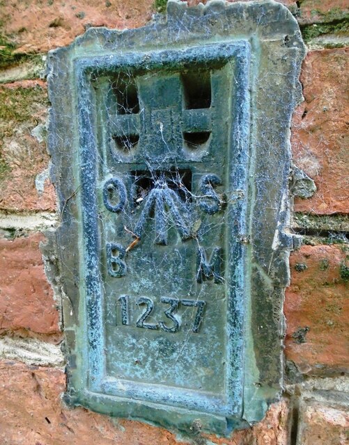
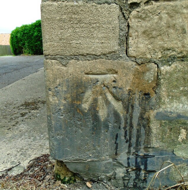
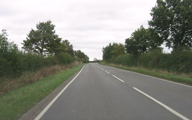
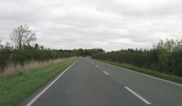
Buckminster Images

Images are sourced within 2km of 52.788227/-0.698774 or Grid Reference SK8721. Thanks to Geograph Open Source API. All images are credited.

Benchmark on St John the Baptist's Church Ordnance Survey cut mark benchmark described on the Bench Mark Database at <span class="nowrap"><a title="www.bench-marks.org.uk/bm61430" rel="nofollow ugc noopener" href="http://www.bench-marks.org.uk/bm61430">Link</a><img style="margin-left:2px;" alt="External link" title="External link - shift click to open in new window" src="https://s1.geograph.org.uk/img/external.png" width="10" height="10"/></span>
Benchmark on St John the Baptist's Church
Ordnance Survey cut mark benchmark described on the Bench Mark Database at LinkExternal link
St John the Baptist's Church There is an Ordnance Survey benchmark <a href="https://www.geograph.org.uk/photo/6924302">SK8723 : Benchmark on St John the Baptist's Church</a> on the corner of the church in the middle of the image
St John the Baptist's Church
There is an Ordnance Survey benchmark SK8723 : Benchmark on St John the Baptist's Church on the corner of the church in the middle of the image
Benchmark on building on NW side of Main Street Ordnance Survey flush bracket (serial number 1237) benchmark described on the Bench Mark Database at <span class="nowrap"><a title="www.bench-marks.org.uk/bm1589" rel="nofollow ugc noopener" href="http://www.bench-marks.org.uk/bm1589">Link</a><img style="margin-left:2px;" alt="External link" title="External link - shift click to open in new window" src="https://s1.geograph.org.uk/img/external.png" width="10" height="10"/></span>
Benchmark on building on NW side of Main Street
Ordnance Survey flush bracket (serial number 1237) benchmark described on the Bench Mark Database at LinkExternal link
Building with new spiral staircase on NW side of B676 There is an Ordnance Survey flush bracket <a href="https://www.geograph.org.uk/photo/6924448">SK8822 : Benchmark on building on NW side of Main Street</a> on the right hand side of the building behind the fire escape
Building with new spiral staircase on NW side of B676
There is an Ordnance Survey flush bracket SK8822 : Benchmark on building on NW side of Main Street on the right hand side of the building behind the fire escape
Benchmark on house beside B676 Ordnance Survey cut mark benchmark described on the Bench Mark Database at <span class="nowrap"><a title="www.bench-marks.org.uk/bm75089" rel="nofollow ugc noopener" href="http://www.bench-marks.org.uk/bm75089">Link</a><img style="margin-left:2px;" alt="External link" title="External link - shift click to open in new window" src="https://s1.geograph.org.uk/img/external.png" width="10" height="10"/></span>
Benchmark on house beside B676
Ordnance Survey cut mark benchmark described on the Bench Mark Database at LinkExternal link
House on NW side of Main Street There is an Ordnance Survey benchmark <a href="https://www.geograph.org.uk/photo/6924504">SK8822 : Benchmark on house beside B676</a> on the near corner, road face, of the house
House on NW side of Main Street
There is an Ordnance Survey benchmark SK8822 : Benchmark on house beside B676 on the near corner, road face, of the house
Buckminster: aerial 2021 (1)
Buckminster: aerial 2021
B676 eastbound
B676 eastbound
B676 eastbound
B676 eastbound
B676 eastbound
B676 eastbound
B676 eastbound
B676 eastbound
B676 eastbound
B676 eastbound
B676 eastbound
B676 eastbound
Entrance to Buckminster
B676 eastbound
B676 eastbound
Main Street
Main Street
Tollemache Arms
Tollemache Arms
Show me another place!

Buckminster is located at Grid Ref: SK8721 (Lat: 52.788227, Lng: -0.698774)

Administrative County: Leicestershire

District: Melton

Police Authority: Leicestershire

What 3 Words

///adjusting.pasta.hobbit. Near Wymondham, Leicestershire

Nearby Locations

Buckminster

Related Wikis

Buckminster

Buckminster is a village and civil parish within the Melton district of Leicestershire, England, which includes the two villages of Buckminster and Sewstern...

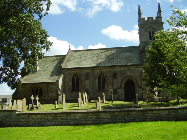
Church of St John the Baptist, Buckminster

The Church of St John the Baptist is a church in Buckminster, Leicestershire. It is a Grade I listed building. == History == The church consists of a nave...

RAF Buckminster

Royal Air Force Buckminster or more simply RAF Buckminster is a former Royal Flying Corps and Royal Air Force station 2.25 miles (3.62 km) west of Colsterworth...

Stainby railway station

Stainby railway station was a station in Stainby, Lincolnshire, England. It was on a small, single-stop branch from Great Ponton which connected it to...

Sewstern

Sewstern is a village and former civil parish, now in the parish of Buckminster, in the Melton district of east Leicestershire, England. It lies just south...

Coston, Leicestershire

Coston is a village and former civil parish, now in the parish of Garthorpe in the Melton district, in the eastern part of Leicestershire, England. In...

Stainby

Stainby is a village and former civil parish, now in the parish of Gunby and Stainby, in the South Kesteven district of Lincolnshire, England. It is situated...

Gunby, South Kesteven

Gunby is a village and former civil parish, now in the parish of Gunby and Stainby, in the South Kesteven district of Lincolnshire, England. It is situated...

Have you been to Buckminster?

Leave your review of Buckminster below (or comments, questions and feedback).