Buckingham Park

Civil Parish in Buckinghamshire

England

Buckingham Park

McDonald's Cheeseburger Saver meal deal advert
McDonald's Cheeseburger Saver meal deal advert Credit: ashy

Buckingham Park is a civil parish located in the county of Buckinghamshire in England. It is situated in the southern part of the county, approximately 2 miles south of the town of Buckingham. The parish covers an area of around 1,000 acres and is predominantly residential.

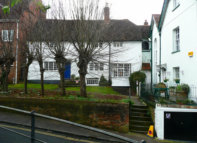
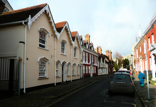
The area is known for its modern housing developments, which have been built in recent years to accommodate the growing population. The houses are mostly detached or semi-detached properties, with a mix of architectural styles. The community is diverse, with a range of age groups and family sizes.

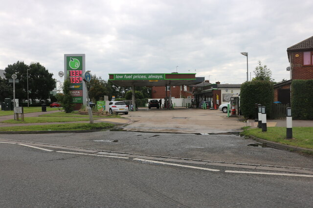
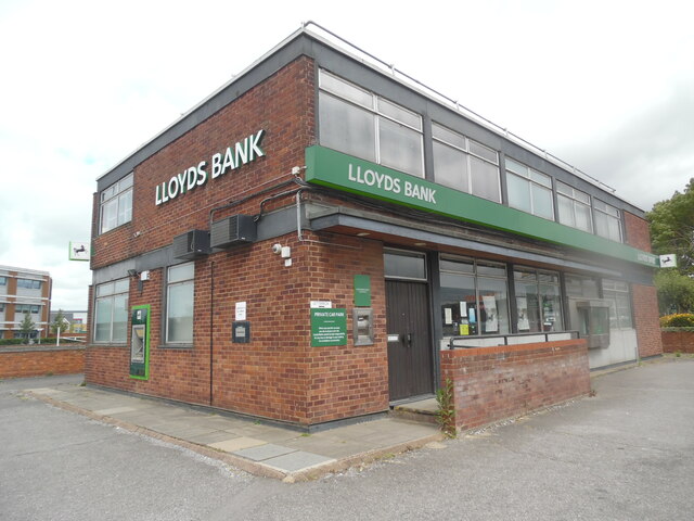
Buckingham Park benefits from its proximity to the town of Buckingham, where residents can access a wide range of amenities and services. The town offers various shopping options, including supermarkets, independent shops, and a regular market. There are also several schools in the area, providing education for children of all ages.

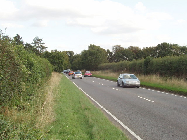
The parish is well-connected to other parts of the county and beyond, with good road links. The A421 road passes through Buckingham Park, providing access to the nearby towns of Milton Keynes and Aylesbury. There are also bus services that run through the area, connecting it to surrounding villages and towns.

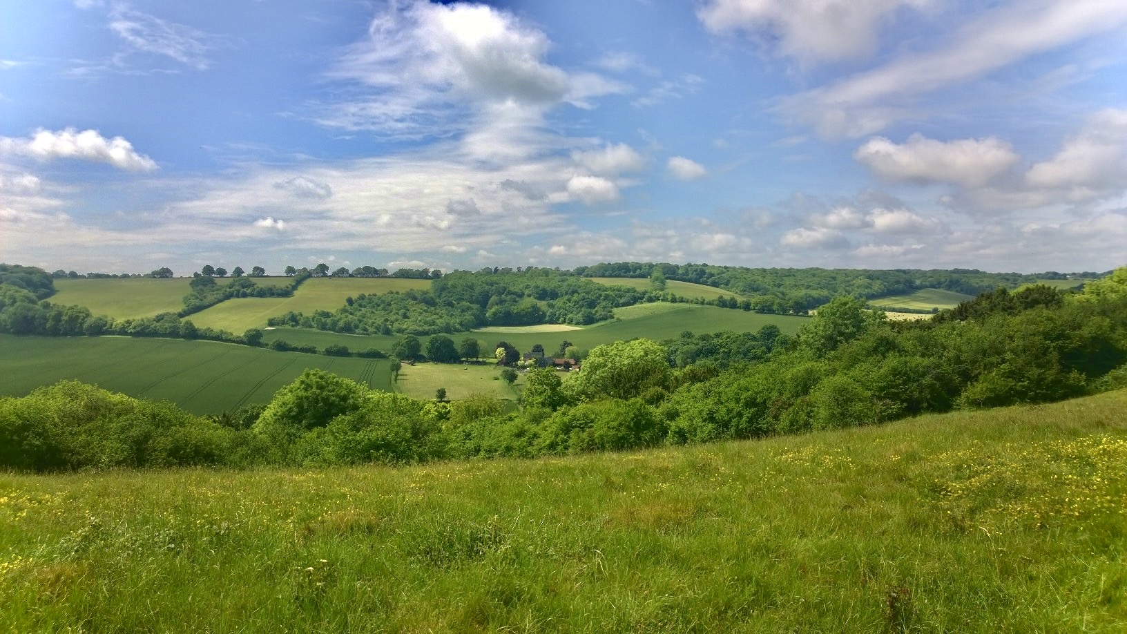
In terms of recreational facilities, Buckingham Park has several green spaces, including parks and playing fields. There are also footpaths and cycle routes, making it easy for residents to enjoy the picturesque countryside that surrounds the area.

Overall, Buckingham Park is a thriving residential area with good transport links and a range of amenities, making it an attractive place to live.

If you have any feedback on the listing, please let us know in the comments section below.

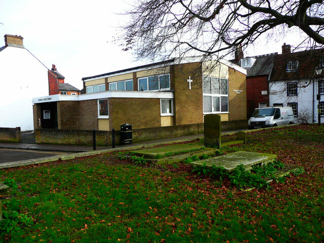
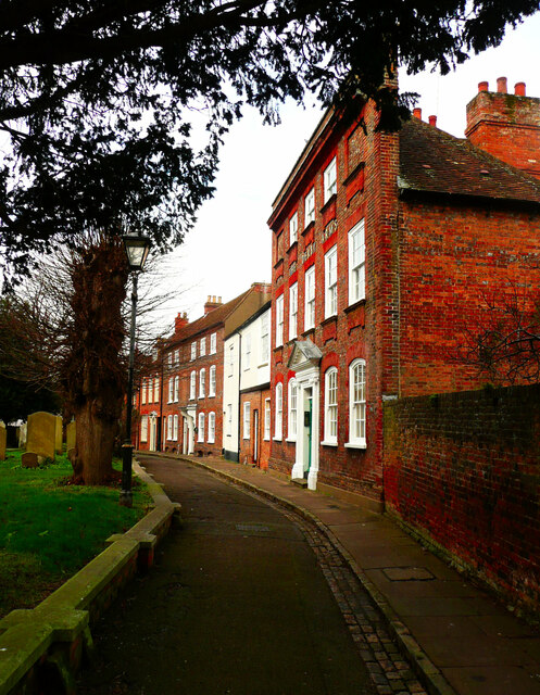
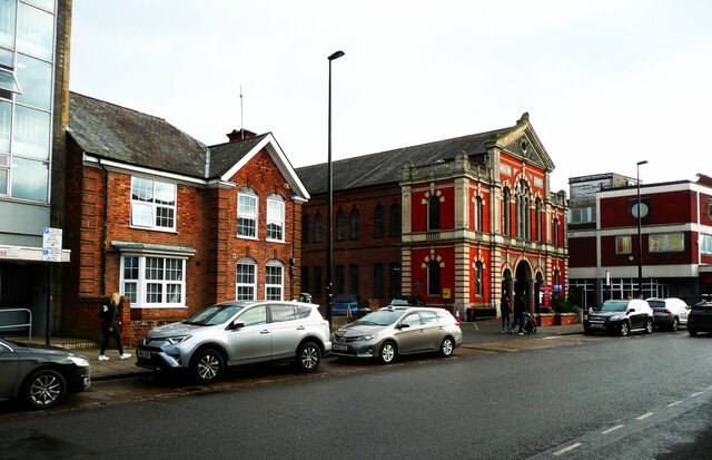
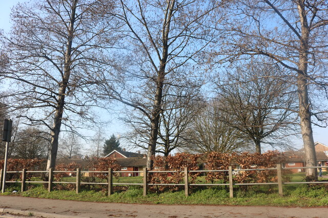
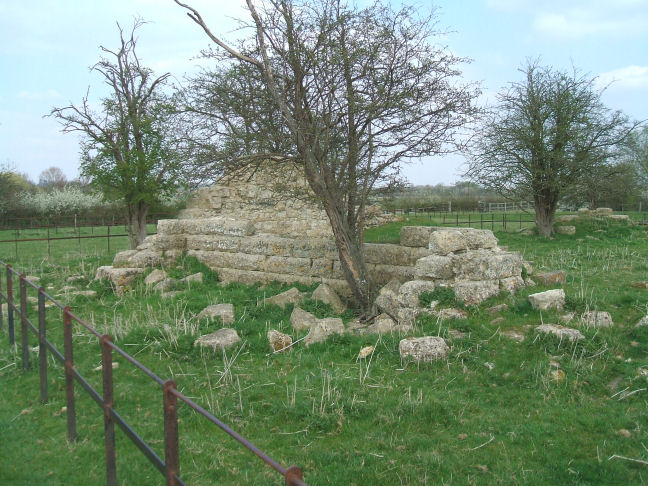
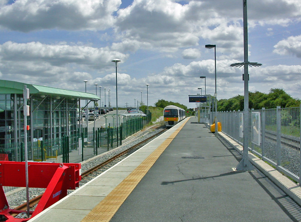
Buckingham Park Images

Images are sourced within 2km of 51.83396/-0.82157 or Grid Reference SP8115. Thanks to Geograph Open Source API. All images are credited.

McDonald's Cheeseburger Saver meal deal advert
Petrol station on Haydon Road, Aylesbury Sadly low prices are now £1.33 a litre. A year ago it was £1.10
Petrol station on Haydon Road, Aylesbury
Sadly low prices are now £1.33 a litre. A year ago it was £1.10
Houses facing a triangle, Castle Street, Aylesbury
Arched entrance to Prebendal House This gateway is listed, Grade II.
Arched entrance to Prebendal House
This gateway is listed, Grade II.
Temple Square, Aylesbury The buildings are all listed, Grade II. The Queen's Head was built in the 17C.
Temple Square, Aylesbury
The buildings are all listed, Grade II. The Queen's Head was built in the 17C.
Church Street, Aylesbury There are many listed buildings on this street. On the left  a 15C house refronted in the early 19C with fancy bargeboards, Grade II. Next is a 15C to 16C house with an 18C front and 19C dormers, listed Grade II star, then a 16C house refronted in the 18C but still showing the timber framing, Grade II.
Church Street, Aylesbury
There are many listed buildings on this street. On the left a 15C house refronted in the early 19C with fancy bargeboards, Grade II. Next is a 15C to 16C house with an 18C front and 19C dormers, listed Grade II star, then a 16C house refronted in the 18C but still showing the timber framing, Grade II.
Pebble Lane, Aylesbury A rather pedantic application of double yellow lines.
Pebble Lane, Aylesbury
A rather pedantic application of double yellow lines.
Granville Street Church An independent evangelical family church.
Granville Street Church
An independent evangelical family church.
St Mary's Square, Aylesbury The nearest building is the Derby Arms, which has an 18C front to an older building and is listed, Grade II star. It is no longer a pub.
St Mary's Square, Aylesbury
The nearest building is the Derby Arms, which has an 18C front to an older building and is listed, Grade II star. It is no longer a pub.
Information plaque for the Charity Statue, Aylesbury
Charity Statue in the museum garden, Aylesbury This was sculpted by Judy Cowper to commemorate the 300th anniversary of William Harding's Charity, which provided grants for apprenticeships and education for young people and 35 almshouses in the town centre. See <a href="https://www.geograph.org.uk/photo/7102173">SP8113 : Information plaque for the Charity Statue, Aylesbury</a> for further information.
Charity Statue in the museum garden, Aylesbury
This was sculpted by Judy Cowper to commemorate the 300th anniversary of William Harding's Charity, which provided grants for apprenticeships and education for young people and 35 almshouses in the town centre. See SP8113 : Information plaque for the Charity Statue, Aylesbury for further information.
Kingsbury Square, Aylesbury This view is looking northwards across the square.
Kingsbury Square, Aylesbury
This view is looking northwards across the square.
Kingsbury Square, Aylesbury This is the north-western corner of the square, The Rockwood public house was built in the 17C (altered later) and is listed, Grade II.
Kingsbury Square, Aylesbury
This is the north-western corner of the square, The Rockwood public house was built in the 17C (altered later) and is listed, Grade II.
Methodist church Buckingham Street, Aylesbury According to Pevsner this was built in 1893 in a "terrible Italianate style".
Methodist church Buckingham Street, Aylesbury
According to Pevsner this was built in 1893 in a "terrible Italianate style".
Bungalows on Elmhurst Road, Aylesbury
Buckingham Road, Aylesbury
Lloyds Bank, Gatehouse Road, Aylesbury Situated in Gatehouse Road HP19 8ED, this branch is due for closure on Tuesday 26th July 2022. It is one of twenty four such branches that will be closed permanently between June and September 2022.
Lloyds Bank, Gatehouse Road, Aylesbury
Situated in Gatehouse Road HP19 8ED, this branch is due for closure on Tuesday 26th July 2022. It is one of twenty four such branches that will be closed permanently between June and September 2022.
Closure Notice at Lloyds Bank, Gatehouse Road, Aylesbury This photo shows the closure notice in the front window of the Lloyds Bank branch in Gatehouse Road. It has the following wording:

                     We're closing
                   this branch soon
               
            Please come in and talk to us.

           We're here to help and support you
          before and after this branch closes.

         This branch will close on 26 July 2022.

         We can help you at any branch, including:
          1 Market Square, Aylesbury HP20 1TD
           13-14 Cornmarket, Thame OX9 2BN
Closure Notice at Lloyds Bank, Gatehouse Road, Aylesbury
This photo shows the closure notice in the front window of the Lloyds Bank branch in Gatehouse Road. It has the following wording: We're closing this branch soon Please come in and talk to us. We're here to help and support you before and after this branch closes. This branch will close on 26 July 2022. We can help you at any branch, including: 1 Market Square, Aylesbury HP20 1TD 13-14 Cornmarket, Thame OX9 2BN
Show me another place!

Buckingham Park is located at Grid Ref: SP8115 (Lat: 51.83396, Lng: -0.82157)

Unitary Authority: Buckinghamshire

Police Authority: Thames Valley

What 3 Words

///prouder.guarded.frostbite. Near Aylesbury, Buckinghamshire

Nearby Locations

Buckingham Park

Related Wikis

A413 road

The A413 is a major road in England that runs between Denham (west of London) to Towcester (northwest of Milton Keynes). It passes through or near various...

Battle of Aylesbury

The Battle of Aylesbury was an engagement which took place on 1 November 1642, when Royalist forces, under the command of Prince Rupert, fought Aylesbury...

Holman's Bridge

Holman's Bridge is a brick-built bridge on the A413 to the north of Aylesbury in Buckinghamshire, England. It is where the A413 road crosses the River...

Aylesbury Vale Academy

The Aylesbury Vale Academy, formerly Quarrendon School, was Buckinghamshire's first Academy. It is a Church of England Academy with the Anglican Diocese...

List of local nature reserves in Buckinghamshire

Buckinghamshire is a ceremonial county in south-east England. Its county town is Aylesbury, and it is surrounded by Northamptonshire to the north, Bedfordshire...

Buckinghamshire

Buckinghamshire (, abbreviated Bucks), is a ceremonial county in South East England and one of the home counties. It is bordered by Northamptonshire to...

Quarrendon

Quarrendon or Quarrendon Leas is a medieval English village near Aylesbury in Buckinghamshire, England, which has been depopulated since the 16th century...

Buckingham Park, Buckinghamshire

Buckingham Park is a suburban residential neighbourhood contiguous with the north-west edge of Aylesbury, Buckinghamshire, England. It is currently the...

Nearby Amenities

Located within 500m of 51.83396,-0.82157
Direction: backward
Traffic Calming: table
Lat/Long: 51.8325673/-0.8185891
Traffic Calming: choker
Lat/Long: 51.8344154/-0.8180445
Buckingham Park
Alt Name: Weedon Hill
Is In: Aylesbury
Place: suburb
Wikidata: Q7979349
Wikipedia: en:Buckingham Park, Buckinghamshire
Lat/Long: 51.8339038/-0.820449
Crossing
Crossing: unmarked
Crossing Markings: no
Lat/Long: 51.8350591/-0.8182435
Post Box
Brand: Royal Mail
Brand Wikidata: Q638098
Brand Wikipedia: en:Royal Mail
Collection Times: Mo-Fr 17:30; Sa 12:00
Operator: Royal Mail
Operator Wikidata: Q638098
Post Box Type: pillar
Ref: HP19 320
Royal Cypher: EIIR
Royal Cypher Wikidata: Q33102113
Source: survey
Survey Date: 2015-04-18
Lat/Long: 51.8312984/-0.8163736
Budgens
Addr City: Aylesbury
Addr Housenumber: 5
Addr Postcode: HP19 9DZ
Addr Street: Jubilee Square
Brand: Budgens
Brand Wikidata: Q4985016
Brand Wikipedia: en:Budgens
Shop: supermarket
Website: https://www.budgens.co.uk/our-stores/buckingham-park
Lat/Long: 51.8351533/-0.8201834
Barrier: cycle_barrier
Lat/Long: 51.83319/-0.8219002
Pharmacy
Buckingham Park Pharmacy
Addr City: Aylesbury
Addr Housenumber: 1
Addr Postcode: HP19 9DZ
Addr Street: Jubilee Square
Healthcare: pharmacy
Phone: +44 1296 332901
Lat/Long: 51.8351574/-0.8206681
Fast Food
The Codfather
Addr City: Aylesbury
Addr Housenumber: 2
Addr Postcode: HP19 9DZ
Addr Street: Jubilee Square
Cuisine: fish_and_chips
Phone: +44 1296 427648
Lat/Long: 51.8351574/-0.8205688
Power: pole
Lat/Long: 51.8351246/-0.8256754
Kerb: raised
Lat/Long: 51.8349678/-0.8220114
Bus Stop
Bus: yes
Naptan AtcoCode: 040000002553
Naptan NaptanCode: bucgjpda
Public Transport: platform
Lat/Long: 51.8350256/-0.8208816
Power: pole
Lat/Long: 51.8359118/-0.8276305
Power: pole
Lat/Long: 51.8355405/-0.8264852
Power: pole
Lat/Long: 51.8352057/-0.8254579
Power: pole
Lat/Long: 51.8356557/-0.8273126
Playground: slide
Lat/Long: 51.8339403/-0.8285746
Barrier: kissing_gate
Lat/Long: 51.8321757/-0.8273414
Crossing
Crossing: unmarked
Crossing Island: no
Crossing Markings: no
Tactile Paving: yes
Lat/Long: 51.8320281/-0.8172201
Traffic Calming: choker
Lat/Long: 51.8321542/-0.8174603
Direction: backward
Traffic Calming: table
Lat/Long: 51.8329147/-0.8192511
Direction: backward
Traffic Calming: table
Lat/Long: 51.833007/-0.818796
Traffic Calming: choker
Lat/Long: 51.8330201/-0.8208003
Crossing
Crossing: unmarked
Crossing Markings: no
Lat/Long: 51.8335497/-0.8188042
Direction: 155
Generator Method: photovoltaic
Generator Output Electricity: yes
Generator Solar Modules: 12
Generator Source: solar
Generator Type: solar_photovoltaic_panel
Location: roof
Power: generator
Lat/Long: 51.8359219/-0.8186325
Traffic Calming: hump
Lat/Long: 51.8352961/-0.820924
Traffic Calming: hump
Lat/Long: 51.8349664/-0.8213922
Generator Method: photovoltaic
Generator Output Electricity: yes
Generator Source: solar
Generator Type: solar_photovoltaic_panel
Location: roof
Power: generator
Lat/Long: 51.8328838/-0.8205887
Noexit: yes
Lat/Long: 51.8339469/-0.8210269
Barrier: cycle_barrier
Lat/Long: 51.8330463/-0.8219749
Barrier: cycle_barrier
Lat/Long: 51.8348899/-0.8220621
Noexit: yes
Lat/Long: 51.8352911/-0.8198628
Traffic Calming: choker
Lat/Long: 51.8358673/-0.8195087
Entrance: main
Lat/Long: 51.8347641/-0.8203925
Barrier: cycle_barrier
Lat/Long: 51.8340792/-0.8186614
Barrier: cycle_barrier
Lat/Long: 51.8350313/-0.8183263
Leisure: playground
Lat/Long: 51.8345146/-0.8195061
Leisure: playground
Lat/Long: 51.8346207/-0.8190179
Direction: 155
Generator Method: photovoltaic
Generator Output Electricity: yes
Generator Source: solar
Generator Type: solar_photovoltaic_panel
Location: roof
Power: generator
Lat/Long: 51.8360833/-0.8188476
Addr City: Aylesbury
Addr Housenumber: 4
Addr Postcode: HP19 9DZ
Addr Street: Jubilee Square
Beauty: tanning
Shop: beauty
Lat/Long: 51.8351535/-0.8203925
Barnardo's
Addr Housenumber: 3
Addr Postcode: HP19 9DZ
Addr Street: Jubilee Square
Brand: Barnardo's
Brand Wikidata: Q2884670
Phone: +44 1296 330096
Shop: charity
Lat/Long: 51.8351539/-0.8204716
Traffic Calming: choker
Lat/Long: 51.834019/-0.8177516
Crossing
Lat/Long: 51.8323792/-0.8179874
Crossing
Crossing: unmarked
Crossing Island: no
Crossing Markings: no
Tactile Paving: yes
Lat/Long: 51.8341462/-0.8173446
Crossing
Crossing: unmarked
Crossing Island: no
Crossing Markings: no
Tactile Paving: yes
Lat/Long: 51.8331743/-0.8224995
Crossing
Crossing: unmarked
Crossing Island: no
Crossing Markings: no
Tactile Paving: yes
Lat/Long: 51.8331557/-0.8234737
Crossing
Crossing: unmarked
Crossing Island: no
Crossing Markings: no
Tactile Paving: yes
Lat/Long: 51.8331035/-0.8218541
Crossing
Crossing: unmarked
Crossing Island: no
Crossing Markings: no
Tactile Paving: yes
Lat/Long: 51.833026/-0.8216305
Crossing
Crossing: unmarked
Crossing Island: no
Crossing Markings: no
Tactile Paving: yes
Lat/Long: 51.832843/-0.8188896
Crossing
Crossing: unmarked
Crossing Island: no
Crossing Markings: no
Tactile Paving: yes
Lat/Long: 51.8324235/-0.817756
Crossing
Crossing: unmarked
Crossing Island: no
Tactile Paving: yes
Lat/Long: 51.8332608/-0.8251894
Crossing
Crossing: unmarked
Crossing Island: no
Crossing Markings: no
Tactile Paving: yes
Lat/Long: 51.833184/-0.8246044
Crossing
Crossing: unmarked
Crossing Island: no
Crossing Markings: no
Tactile Paving: yes
Lat/Long: 51.8342069/-0.8250921
Crossing
Crossing: unmarked
Crossing Island: no
Crossing Markings: no
Tactile Paving: yes
Lat/Long: 51.8344907/-0.8239381
Crossing
Crossing: unmarked
Crossing Island: no
Crossing Markings: no
Tactile Paving: yes
Lat/Long: 51.8342922/-0.8244999
Crossing
Crossing: unmarked
Crossing Island: no
Crossing Markings: no
Tactile Paving: yes
Lat/Long: 51.834809/-0.8230601
Crossing
Crossing: unmarked
Crossing Island: no
Crossing Markings: no
Tactile Paving: yes
Lat/Long: 51.8347452/-0.8228024
Direction: 180
Generator Method: photovoltaic
Generator Output Electricity: yes
Generator Source: solar
Generator Type: solar_photovoltaic_panel
Location: roof
Power: generator
Lat/Long: 51.8336039/-0.8263646
The data included in this document is from www.openstreetmap.org. The data is made available under ODbL.

Have you been to Buckingham Park?

Leave your review of Buckingham Park below (or comments, questions and feedback).