Bubwith
Civil Parish in Yorkshire
England
Bubwith

Bubwith is a civil parish located in the East Riding of Yorkshire, England. Situated approximately 14 miles south-east of the city of York, it lies on the banks of the River Derwent. The parish covers an area of around 5 square miles and is predominantly rural in nature.
The village of Bubwith serves as the main settlement within the parish. It has a population of around 1,000 residents. The history of Bubwith can be traced back to the Anglo-Saxon era, and evidence of its past can still be seen in the form of historic buildings and landmarks. The parish church of All Saints, dating back to the 12th century, is one such example.
Agriculture plays a significant role in the local economy of Bubwith. The fertile land surrounding the village is primarily used for arable farming, with crops such as wheat, barley, and oilseed rape being cultivated. The area also has a number of dairy farms.
Despite its rural setting, Bubwith benefits from good transport links. The A163 road passes through the village, providing easy access to nearby towns and cities. Additionally, the village has a railway station, which is part of the Selby Line, connecting Bubwith to destinations such as Selby and Hull.
Bubwith offers a range of amenities to its residents, including a primary school, a village hall, and several local shops and services. The community also organizes various events and activities throughout the year, fostering a strong sense of community spirit.
If you have any feedback on the listing, please let us know in the comments section below.
Bubwith Images
Images are sourced within 2km of 53.806969/-0.900908 or Grid Reference SE7235. Thanks to Geograph Open Source API. All images are credited.


Bubwith is located at Grid Ref: SE7235 (Lat: 53.806969, Lng: -0.900908)
Division: East Riding
Unitary Authority: East Riding of Yorkshire
Police Authority: Humberside
What 3 Words
///switch.dividers.student. Near Bubwith, East Yorkshire
Nearby Locations
Related Wikis
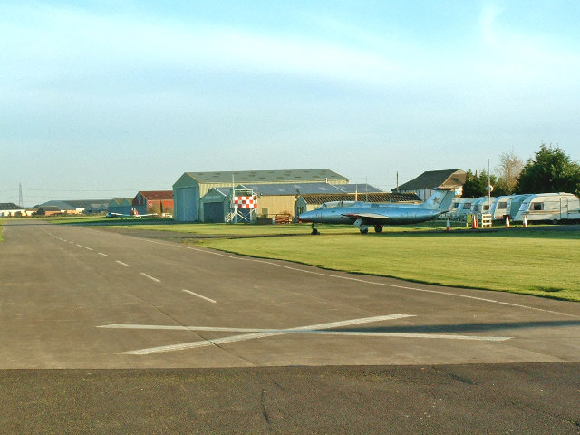
Breighton Aerodrome
Breighton Aerodrome is a private aerodrome primarily used for general aviation flying located on the former Royal Air Force Breighton or more simply RAF...

High Field railway station
High Field railway station was a station on the Selby to Driffield Line in the East Riding of Yorkshire, England serving the east end of the village of...

Bubwith railway station
Bubwith railway station was a station on the Selby to Driffield Line in the East Riding of Yorkshire, England serving the village of Bubwith. It opened...

Bubwith
Bubwith is a village and civil parish in the East Riding of Yorkshire, England. The village is situated about 6 miles (10 km) north-east of Selby, and...
Nearby Amenities
Located within 500m of 53.806969,-0.900908Have you been to Bubwith?
Leave your review of Bubwith below (or comments, questions and feedback).