Brunswick

Civil Parish in Northumberland Newcastle upon Tyne

England

Brunswick

Bridleway, Havannah Nature Reserve The reserve occupies the former site of Hazlerigg colliery and drift mine, the bridleway follows the route of the mineral railway within the site.
Bridleway, Havannah Nature Reserve Credit: David Robinson

Brunswick is a civil parish located in Northumberland, England. It is situated in the northern part of the county, near the border with Scotland. The parish covers an area of approximately 8 square miles and is home to a small population.

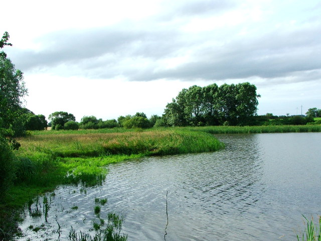
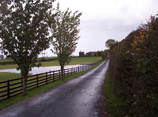
The landscape of Brunswick is characterized by rolling hills, open fields, and scattered woodlands. The area is primarily rural, with a few small villages and hamlets scattered throughout. The parish is known for its picturesque countryside and tranquil atmosphere, making it a popular destination for nature lovers and those seeking a peaceful retreat.

The economy of Brunswick is primarily based on agriculture, with many farms and rural businesses operating in the area. The fertile soil and favorable climate make it ideal for farming activities, such as livestock rearing and crop cultivation. Additionally, there are a few small businesses and services catering to the local community.

The parish is also home to several historical landmarks and attractions. These include ancient churches, traditional farmhouses, and historic sites that offer a glimpse into the region's rich history. The area is also popular for outdoor activities such as hiking, cycling, and fishing, thanks to its beautiful landscapes and proximity to the Northumberland National Park.

Overall, Brunswick, Northumberland, offers a peaceful and idyllic setting for residents and visitors alike. With its rural charm, agricultural heritage, and natural beauty, it is a place where one can enjoy a slower pace of life and immerse themselves in the stunning surroundings.

If you have any feedback on the listing, please let us know in the comments section below.
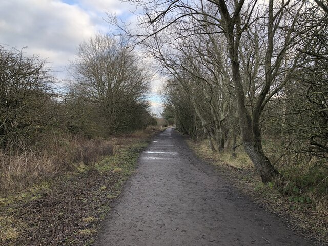
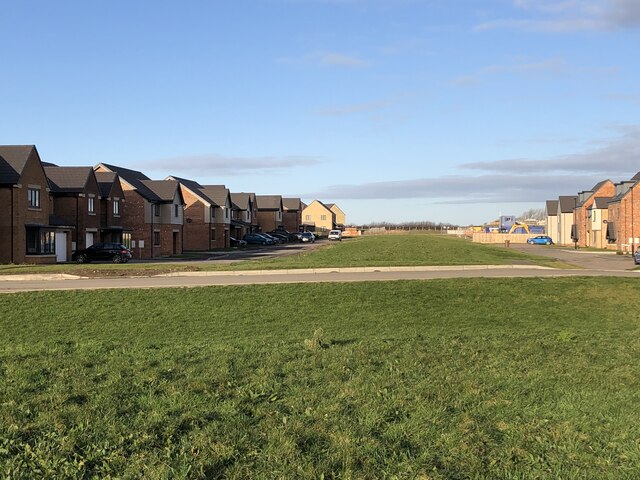
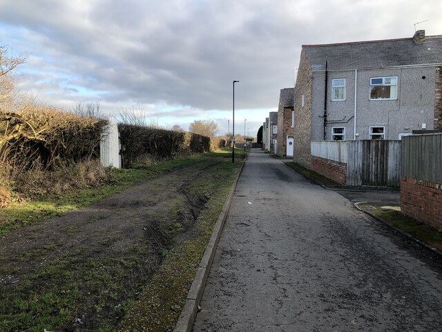
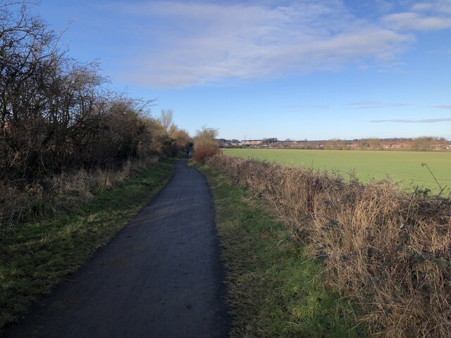
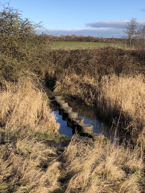
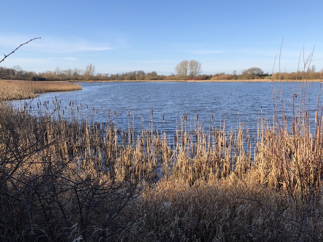
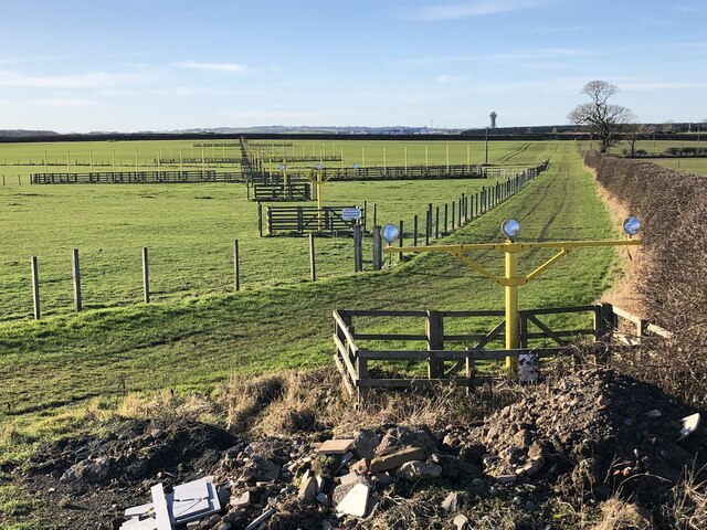
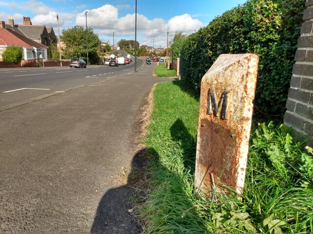
Brunswick Images

Images are sourced within 2km of 55.056943/-1.645714 or Grid Reference NZ2273. Thanks to Geograph Open Source API. All images are credited.

Bridleway, Havannah Nature Reserve The reserve occupies the former site of Hazlerigg colliery and drift mine, the bridleway follows the route of the mineral railway within the site.
Bridleway, Havannah Nature Reserve
The reserve occupies the former site of Hazlerigg colliery and drift mine, the bridleway follows the route of the mineral railway within the site.
New Housing Development, Havannah Park New development west of Hazlerigg, north of Havannah Nature Reserve
New Housing Development, Havannah Park
New development west of Hazlerigg, north of Havannah Nature Reserve
End-terrace houses, Hazlerigg A series of terraces ending perpendicular to a run of allotments.
End-terrace houses, Hazlerigg
A series of terraces ending perpendicular to a run of allotments.
Seatonburn Waggonway Former waggonway and later railway serving Seaton Burn colliery. The line connected with the Fawdon waggonway at Wideopen, taking coals from several collieries to the Tyne. This section of the route is now a bridleway.
Seatonburn Waggonway
Former waggonway and later railway serving Seaton Burn colliery. The line connected with the Fawdon waggonway at Wideopen, taking coals from several collieries to the Tyne. This section of the route is now a bridleway.
Stepping Stones, Big Waters Nature Reserve
Big Waters Nature Reserve The Nature Reserve makes use of a large pond area that formed over collapsed mine workings beneath the Hartley Burn.
Big Waters Nature Reserve
The Nature Reserve makes use of a large pond area that formed over collapsed mine workings beneath the Hartley Burn.
Approach Lighting System The approach lighting system guiding aircraft to the east end of Newcastle airport.
Approach Lighting System
The approach lighting system guiding aircraft to the east end of Newcastle airport.
Newcastle-Seaton Burn Travelodge Part of a services complex where the A1 and A19 meet, this Travelodge is called a 'motel' on maps although it doesn't correspond to the usual American format for motels where cars can be parked directly outside the rooms. It is seen here on a particularly dismal morning.
Newcastle-Seaton Burn Travelodge
Part of a services complex where the A1 and A19 meet, this Travelodge is called a 'motel' on maps although it doesn't correspond to the usual American format for motels where cars can be parked directly outside the rooms. It is seen here on a particularly dismal morning.
Old Milepost by the B1318, in Wideopen Metal post with attached metal plate by the B1318, in parish of Wideopen (North Tyneside District), Great North Road, by footpath in front of blue brick wall, on East side of road. Morpeth/Newcastle iron post, erected by the Cow-causey & Buckton-Burn turnpike trust in the 19th century. 

Inscription reads:-
: N / 6 : : M / 8¾ :
(To Newcastle and Morpeth)

Grade II listed.
List Entry Number: 1450225 <span class="nowrap"><a title="https://historicengland.org.uk/listing/the-list/list-entry/1450225" rel="nofollow ugc noopener" href="https://historicengland.org.uk/listing/the-list/list-entry/1450225">Link</a><img style="margin-left:2px;" alt="External link" title="External link - shift click to open in new window" src="https://s1.geograph.org.uk/img/external.png" width="10" height="10"/></span>

Milestone Society National ID: NB_NCMP06
Old Milepost by the B1318, in Wideopen
Metal post with attached metal plate by the B1318, in parish of Wideopen (North Tyneside District), Great North Road, by footpath in front of blue brick wall, on East side of road. Morpeth/Newcastle iron post, erected by the Cow-causey & Buckton-Burn turnpike trust in the 19th century. Inscription reads:- : N / 6 : : M / 8¾ : (To Newcastle and Morpeth) Grade II listed. List Entry Number: 1450225 LinkExternal link Milestone Society National ID: NB_NCMP06
Big Waters Nature Reserve A man made lake which is home to many species of birds and also otter
Big Waters Nature Reserve
A man made lake which is home to many species of birds and also otter
Approach 25 A picture of the approach lighting for runway 25 Newcastle Woolsington International.
Approach 25
A picture of the approach lighting for runway 25 Newcastle Woolsington International.
Newcastle airport approach A large jet aircraft about to land at Newcastle airport.
Newcastle airport approach
A large jet aircraft about to land at Newcastle airport.
Havannah pond This pond forms part of the Havannah nature reserve which is the reclaimed site of an old colliery.
Havannah pond
This pond forms part of the Havannah nature reserve which is the reclaimed site of an old colliery.
Morley Hill Farm View shows the farmhouse at Morley Hill Farm from the end of its long driveway. The farm is just north of the Havannah Nature Reserve.
Morley Hill Farm
View shows the farmhouse at Morley Hill Farm from the end of its long driveway. The farm is just north of the Havannah Nature Reserve.
Brenkley, North Farm
Cygnet in a pond near Brenkley The setting sun has picked out what may be an ancient  field system
Cygnet in a pond near Brenkley
The setting sun has picked out what may be an ancient field system
The Moor House Pub, Seaton Burn
A1068 near its junction with the A19 and A1 north of Seaton Burn For more on Arcot Hall (signposted in the foreground) see:
<span class="nowrap"><a title="http://www.arcothallgolfclub.com/hallhistory.htm" rel="nofollow ugc noopener" href="http://www.arcothallgolfclub.com/hallhistory.htm">Link</a><img style="margin-left:2px;" alt="External link" title="External link - shift click to open in new window" src="https://s1.geograph.org.uk/img/external.png" width="10" height="10"/></span>
A1068 near its junction with the A19 and A1 north of Seaton Burn
For more on Arcot Hall (signposted in the foreground) see: LinkExternal link
Show me another place!

Brunswick is located at Grid Ref: NZ2273 (Lat: 55.056943, Lng: -1.645714)

Administrative County: Tyne and Wear

District: Newcastle upon Tyne

Police Authority: Northumbria

What 3 Words

///grad.homing.backtrack. Near Wideopen, Northumberland

Nearby Locations

Brunswick

Related Wikis

Seaton Burn Wagonway

The Seaton Burn Wagonway (originally known as the Brunton and Shields Railway) was from 1826 to 1920 a partially horse-drawn and partially rope-operated...

Brunswick Village

Brunswick Village is a village split between North Tyneside and Newcastle upon Tyne, Tyne and Wear, England. It is situated approximately 6 miles north...

Seaton Burn

Seaton Burn is a village in North Tyneside, Tyne and Wear, to the north of Newcastle upon Tyne, and adjacent to Wideopen which is just south of it. It...

Wideopen

Wideopen, also occasionally misspelled as Wide Open, is a village in the North Tyneside metropolitan borough of Tyne and Wear, England, around 5 miles...

Nearby Amenities

Located within 500m of 55.056943,-1.645714
Big Waters Country Park
Tourism: picnic_site
Lat/Long: 55.0534252/-1.6417979
Power: pole
Source: Bing
Lat/Long: 55.0557654/-1.6520476
Power: pole
Source: Bing
Lat/Long: 55.0558132/-1.6523823
Power: pole
Source: Bing
Lat/Long: 55.0568032/-1.6510006
Power: pole
Source: Bing
Lat/Long: 55.0570096/-1.6511654
Power: pole
Source: Bing
Lat/Long: 55.0579095/-1.64986
Power: pole
Source: Bing
Lat/Long: 55.0581173/-1.6499662
Power: pole
Source: Bing
Lat/Long: 55.0587369/-1.648978
Power: pole
Source: Bing
Lat/Long: 55.0587611/-1.6493091
Power: pole
Source: Bing
Lat/Long: 55.0596742/-1.648438
Power: pole
Source: Bing
Lat/Long: 55.0606099/-1.6474718
Bench
Material: stone
Lat/Long: 55.0543183/-1.6426352
The data included in this document is from www.openstreetmap.org. The data is made available under ODbL.

Have you been to Brunswick?

Leave your review of Brunswick below (or comments, questions and feedback).