Brundall
Civil Parish in Norfolk Broadland
England
Brundall
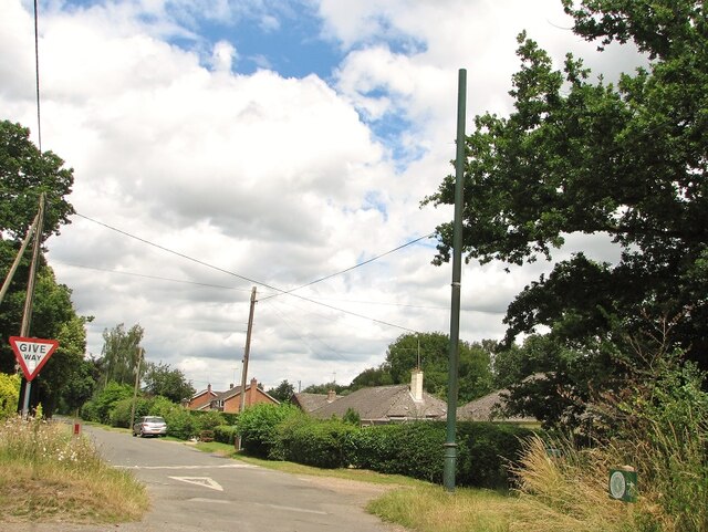
Brundall is a civil parish located in the county of Norfolk, England. Situated on the banks of the River Yare, it lies approximately 7 miles east of the city of Norwich. With a population of around 4,500, Brundall is a peaceful and picturesque destination.
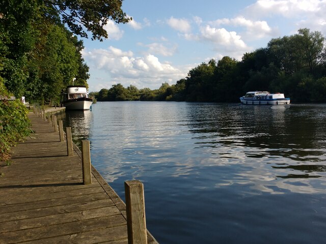
The village is well-known for its scenic beauty, offering stunning views of the Norfolk Broads. It is a popular spot for boating enthusiasts, with its own marina providing easy access to the Broads network. Visitors can enjoy leisurely boat trips, fishing or simply taking in the tranquil surroundings.
Brundall boasts a range of amenities and services for residents and visitors alike. Its High Street is home to a variety of shops, including a supermarket, local stores, and several pubs and restaurants. The village also has a primary school, a medical center, and a community center that hosts various events and gatherings throughout the year.
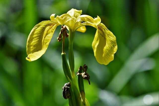
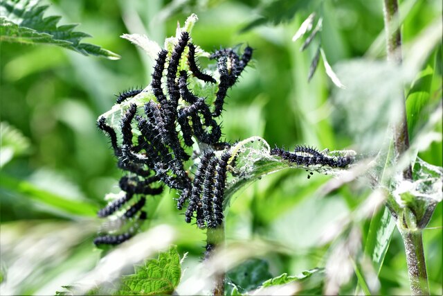
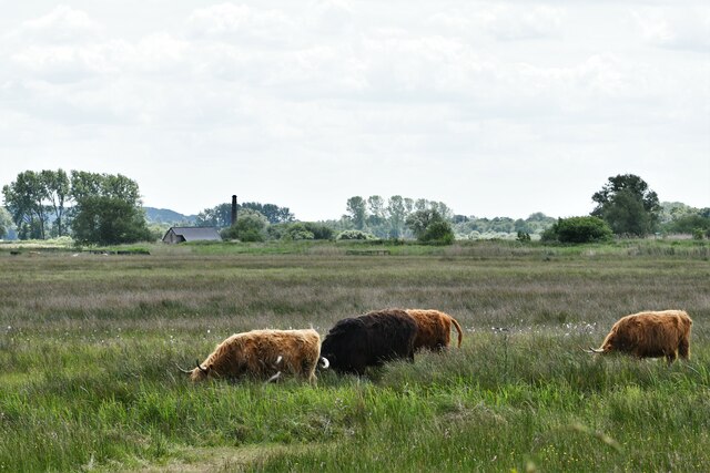
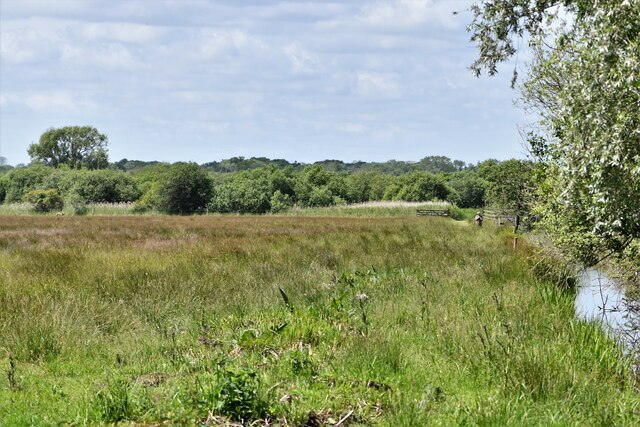
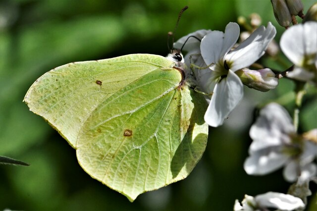
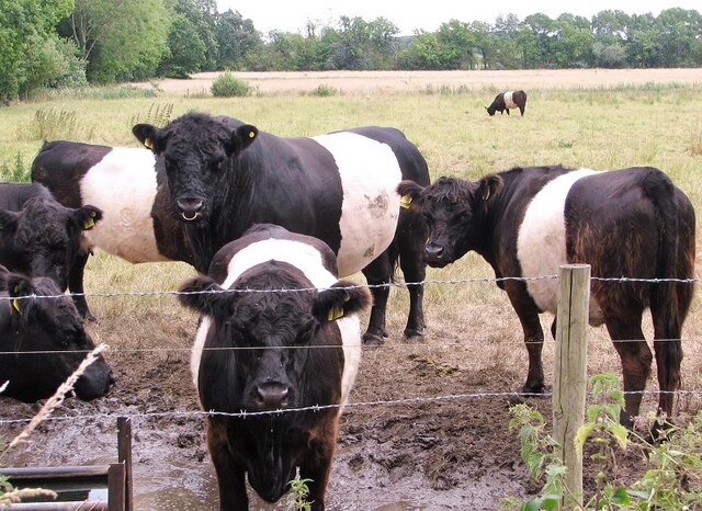
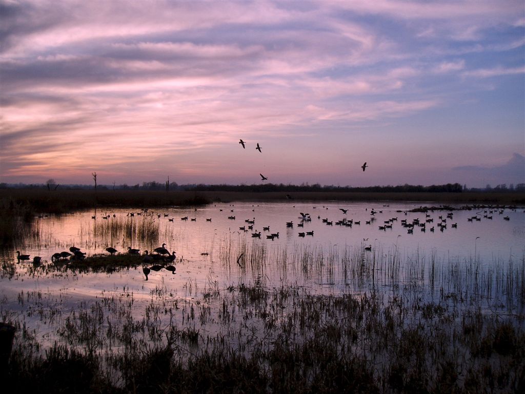
Nature lovers will appreciate the nearby Bure Marshes National Nature Reserve, which offers opportunities to spot a wide range of bird species and other wildlife. The area is also ideal for walking and cycling, with numerous paths and trails to explore.
Brundall benefits from good transportation links, with a train station providing regular services to Norwich and Great Yarmouth. It is also conveniently located near the A47, making it easily accessible by road.
Overall, Brundall is a charming village that combines natural beauty with a range of amenities, making it an attractive destination for both residents and visitors seeking a peaceful retreat in the heart of the Norfolk countryside.
If you have any feedback on the listing, please let us know in the comments section below.
Brundall Images
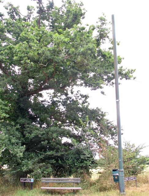
Images are sourced within 2km of 52.613922/1.442529 or Grid Reference TG3307. Thanks to Geograph Open Source API. All images are credited.


Brundall is located at Grid Ref: TG3307 (Lat: 52.613922, Lng: 1.442529)
Administrative County: Norfolk
District: Broadland
Police Authority: Norfolk
What 3 Words
///laptop.tricycle.measure. Near Brundall, Norfolk
Nearby Locations
Related Wikis
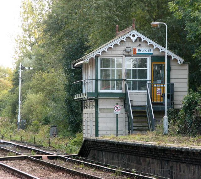
Brundall signal box
Brundall signal box is a Grade II listed former Great Eastern Railway signal box on Brundall railway station in Norfolk, England. Located on the Wherry...
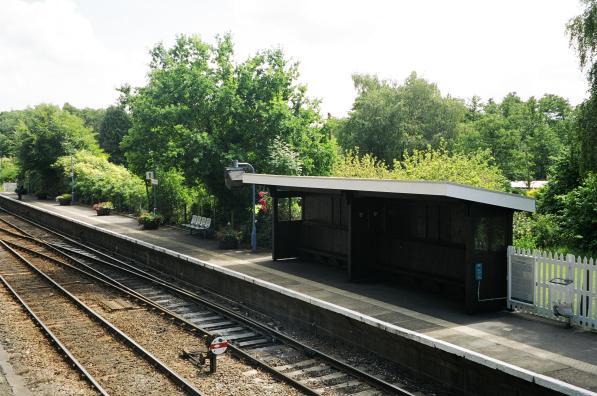
Brundall railway station
Brundall railway station is on the Wherry Lines in the east of England, serving the village of Brundall, Norfolk. It is 5 miles 60 chains (9.3 km) down...
Strumpshaw Fen RSPB reserve
Strumpshaw Fen is a nature reserve managed by the Royal Society for the Protection of Birds (RSPB). It is situated at Strumpshaw on the River Yare in the...

Brundall
Brundall is a village and civil parish in the English county of Norfolk. It is located on the north bank of the River Yare opposite Surlingham Broad and...
Nearby Amenities
Located within 500m of 52.613922,1.442529Have you been to Brundall?
Leave your review of Brundall below (or comments, questions and feedback).