Broxted

Civil Parish in Essex Uttlesford

England

Broxted

Brick End, Broxted
Brick End, Broxted Credit: Ola

Broxted is a civil parish located in the county of Essex, England. Situated approximately 50 miles northeast of London, it falls within the Uttlesford district. The parish covers an area of around 7 square miles and is home to a small population of just over 300 residents.

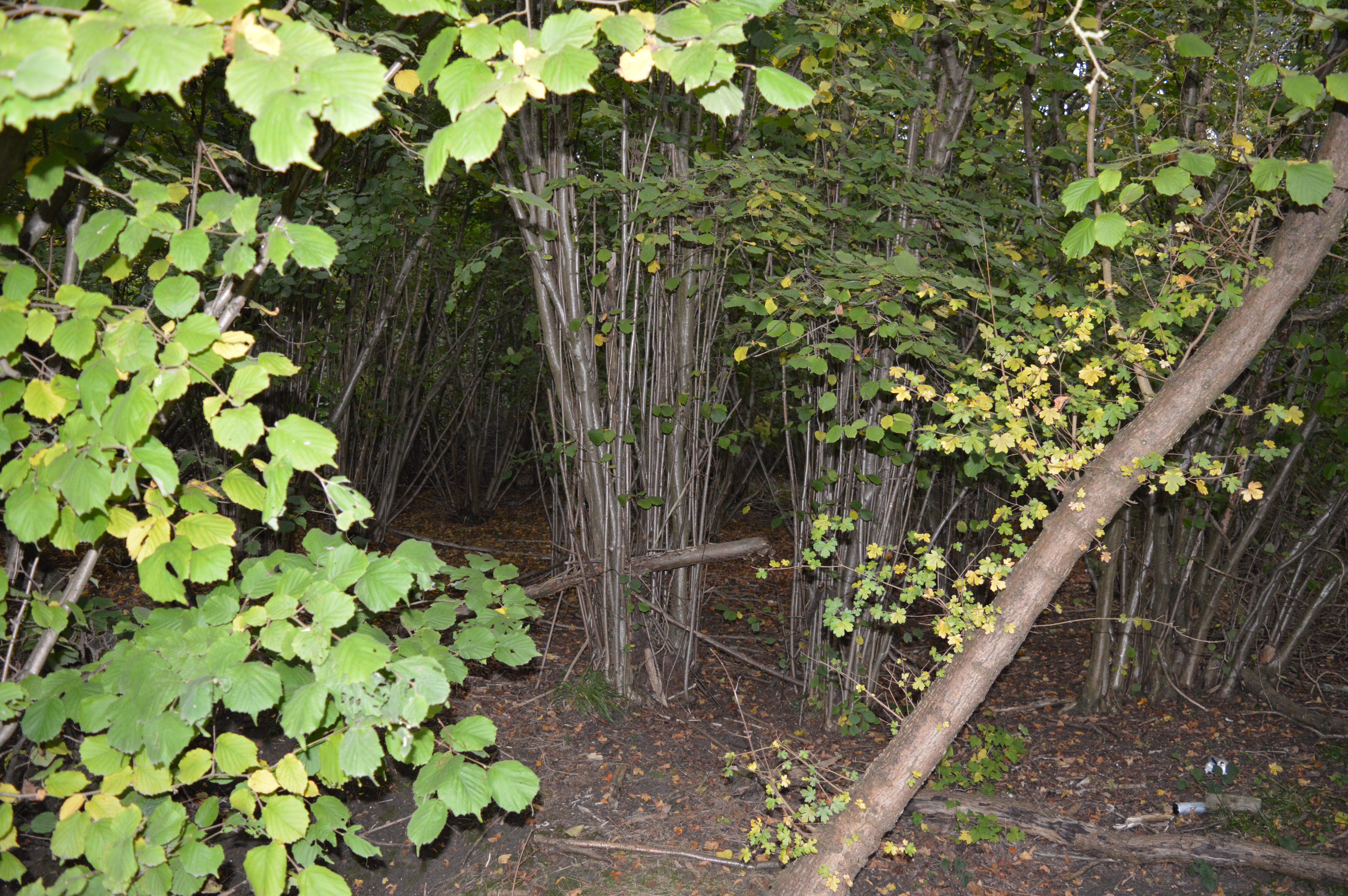
Broxted is surrounded by picturesque countryside, with rolling hills and farmland dominating the landscape. The parish is predominantly rural, characterized by its peaceful and tranquil atmosphere. The village itself is comprised of a scattering of charming houses and cottages, many of which date back several centuries.

The parish is well-connected to the surrounding areas, with the town of Great Dunmow located just a few miles to the west. This provides residents with access to a range of amenities, including shops, schools, and healthcare facilities. The nearby A120 road offers convenient transportation links, connecting Broxted to major towns and cities in the region.

Broxted is also known for its strong sense of community. The parish is home to a number of local organizations and clubs, including a cricket team and a historical society. These groups play an important role in fostering a sense of belonging and providing social opportunities for residents.

Overall, Broxted offers a peaceful and idyllic setting for those seeking a rural lifestyle. Its rich history, beautiful countryside, and close-knit community make it an attractive place to live for those looking to escape the hustle and bustle of city life.

If you have any feedback on the listing, please let us know in the comments section below.
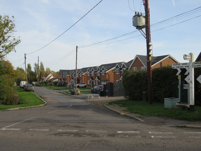
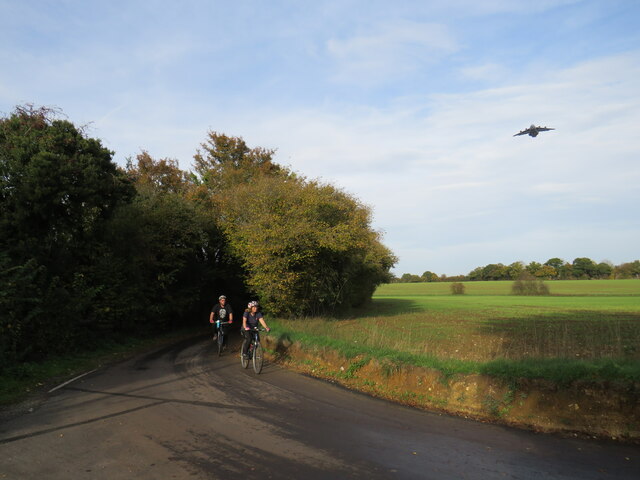
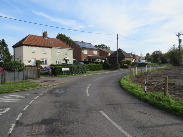
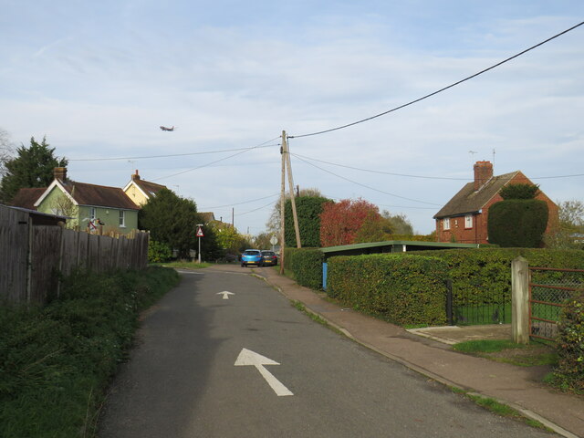
Broxted Images

Images are sourced within 2km of 51.909451/0.29336 or Grid Reference TL5725. Thanks to Geograph Open Source API. All images are credited.

Brick End, Broxted
Brick End, Broxted
The Three Horseshoes, Molehill Green, near Elsenham The Three Horseshoes pub in the small hamlet of Molehill Green in north Essex.  The building, which has a thatched roof, dates from the 17th Century although it incorporates the remains of an older building.  It is Grade II listed .
The Three Horseshoes, Molehill Green, near Elsenham
The Three Horseshoes pub in the small hamlet of Molehill Green in north Essex. The building, which has a thatched roof, dates from the 17th Century although it incorporates the remains of an older building. It is Grade II listed .
Molehill Green, near Elsenham Molehill Green is a small hamlet in north Essex.
Molehill Green, near Elsenham
Molehill Green is a small hamlet in north Essex.
Molehill Green, near Elsenham Molehill Green is a small hamlet in north Essex.  It lies very close to Stansted Airport.  An aeroplane can be seen in this view, coming in to land at Stansted.
Molehill Green, near Elsenham
Molehill Green is a small hamlet in north Essex. It lies very close to Stansted Airport. An aeroplane can be seen in this view, coming in to land at Stansted.
Molehill Green, near Elsenham Modern houses on School Lane in the hamlet of Molehill Green in north Essex.
Molehill Green, near Elsenham
Modern houses on School Lane in the hamlet of Molehill Green in north Essex.
Molehill Green, near Elsenham A minor road leads out of the hamlet of Molehill Green in north Essex, into the neighbouring hamlet of Chapel End.
Molehill Green, near Elsenham
A minor road leads out of the hamlet of Molehill Green in north Essex, into the neighbouring hamlet of Chapel End.
Chapel End, near Elsenham Chapel End is a small hamlet in north Essex.  The cottages on the opposite side of the road are now used by Chapel End Nursery, a plant and garden centre.
Chapel End, near Elsenham
Chapel End is a small hamlet in north Essex. The cottages on the opposite side of the road are now used by Chapel End Nursery, a plant and garden centre.
Molehill Green Road, near Elsenham Molehill Green Road is a minor road in the countryside of north Essex.  The sign indicates that the speed limit changes to 40 miles per hour.

This image was taken on a late October day.  Trees are turning to autumnal shades of yellow as they prepare to shed their leaves for the winter ahead.
Molehill Green Road, near Elsenham
Molehill Green Road is a minor road in the countryside of north Essex. The sign indicates that the speed limit changes to 40 miles per hour. This image was taken on a late October day. Trees are turning to autumnal shades of yellow as they prepare to shed their leaves for the winter ahead.
Molehill Green Road, near Elsenham Molehill Green Road is a minor road through countryside in north Essex.
Molehill Green Road, near Elsenham
Molehill Green Road is a minor road through countryside in north Essex.
Woodgates End, near Elsenham Woodgates End is a minor road with a few cottages in north Essex countryside.
Woodgates End, near Elsenham
Woodgates End is a minor road with a few cottages in north Essex countryside.
Brick End, near Great Dunmow Brick End is a small hamlet in north Essex.  It is in the parish of Broxted.  Stansted Airport is close by.  In this image, an aeroplane can be seen as it prepares to land.
Brick End, near Great Dunmow
Brick End is a small hamlet in north Essex. It is in the parish of Broxted. Stansted Airport is close by. In this image, an aeroplane can be seen as it prepares to land.
Brick End, near Great Dunmow A junction of minor roads in the hamlet of Brick End in north Essex.

A traditional wooden signpost stands at the roadside.  A small blue sign attached to the signpost indicates a route signposted for cycling, towards National Cycle Network route 16.  This location is not on the National Cycle Network, however.
Brick End, near Great Dunmow
A junction of minor roads in the hamlet of Brick End in north Essex. A traditional wooden signpost stands at the roadside. A small blue sign attached to the signpost indicates a route signposted for cycling, towards National Cycle Network route 16. This location is not on the National Cycle Network, however.
Brick End, near Great Dunmow A lane in the small hamlet of Brick End in north Essex.
Brick End, near Great Dunmow
A lane in the small hamlet of Brick End in north Essex.
Brick End Lane, near Stansted Airport Bricl End Lane is a minor lane in north Essex countryside.  It lies under the flight path approaching Stansted Airport.  In this image, two cyclists make their way along the lane while a military aircraft passes low overhead.
Brick End Lane, near Stansted Airport
Bricl End Lane is a minor lane in north Essex countryside. It lies under the flight path approaching Stansted Airport. In this image, two cyclists make their way along the lane while a military aircraft passes low overhead.
Brick End, near Great Dunmow Brick End is a small hamlet in north Essex.  It lies within the parish of Broxted.
Brick End, near Great Dunmow
Brick End is a small hamlet in north Essex. It lies within the parish of Broxted.
Prince of Wales pub, Brick End, near Great Dunmow The Prince of Wales pub in the hamlet of Brick End, in north Essex.
Prince of Wales pub, Brick End, near Great Dunmow
The Prince of Wales pub in the hamlet of Brick End, in north Essex.
Brick End, near Great Dunmow Houses in the hamlet of Brick End, in north Essex.
Brick End, near Great Dunmow
Houses in the hamlet of Brick End, in north Essex.
Brick End, near Great Dunmow Brick End is a small hamlet in north Essex.  It lies close to Stansted Airport.  In this image, an aeroplane is preparing to land at Stansted.

The arrow on the road surface indicates that this is a one-way road.
Brick End, near Great Dunmow
Brick End is a small hamlet in north Essex. It lies close to Stansted Airport. In this image, an aeroplane is preparing to land at Stansted. The arrow on the road surface indicates that this is a one-way road.
Show me another place!

Broxted is located at Grid Ref: TL5725 (Lat: 51.909451, Lng: 0.29336)

Administrative County: Essex

District: Uttlesford

Police Authority: Essex

What 3 Words

///hubcaps.satin.enchanted. Near Elsenham, Essex

Nearby Locations

Brick End Broxted

Related Wikis

Broxted

Broxted is a village and civil parish in the Uttlesford district, in the county of Essex, England. It is situated 11 km (6.8 mi) north-east from Bishop...

Pledgdon Green

Pledgdon Green, also known as Pledgdon or Prison Green, is a hamlet in the parish of Henham, in the Uttlesford district of Essex, England. The hamlet is...

Elsenham Woods

Elsenham Woods is a 44.4-hectare (110-acre) biological Site of Special Scientific Interest east of Elsenham in Essex. It was notified under Section 28...

Molehill Green

Molehill Green is a hamlet in Takeley parish in Essex, England, close to the perimeter of London Stansted Airport, The hamlet consists of approximately...

Chickney

Chickney is a village and civil parish near Broxted and southwest of Thaxted, in Uttlesford, Essex, England. The parish borders Broxted, Debden, Henham...

St Mary's Church, Chickney

St Mary's Church is a redundant Anglican church in the parish of Chickney, Essex, England. It is recorded in the National Heritage List for England as...

Tilty Abbey

Tilty Abbey was a Cistercian abbey in Tilty, Essex, England. It was dissolved 3 March 1536. The chapel, with a nave built circa 1220, became a parish church...

Tilty

Tilty or Tylsey is a village and a civil parish in the Uttlesford district, in the county of Essex, England. In 2001 the population of the civil parish...

Nearby Amenities

Located within 500m of 51.909451,0.29336
Colour: red and white
Inscription: LTS High Pressure Gas Pipeline
Marker: aerial
Utility: gas
Lat/Long: 51.9092206/0.2934726
Colour: yellow
Inscription: LTS High Pressure Gas Pipeline
Marker: post
Utility: gas
Lat/Long: 51.9092219/0.2934641
The data included in this document is from www.openstreetmap.org. The data is made available under ODbL.

Have you been to Broxted?

Leave your review of Broxted below (or comments, questions and feedback).