Broxa-cum-Troutsdale
Civil Parish in Yorkshire Scarborough
England
Broxa-cum-Troutsdale
Broxa-cum-Troutsdale is a civil parish located in the county of Yorkshire, England. Situated in the picturesque North York Moors National Park, this parish covers an area of approximately 20 square miles. The parish consists of the small hamlets of Broxa and Troutsdale, along with several scattered farms and cottages.
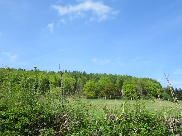
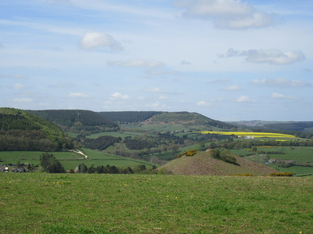
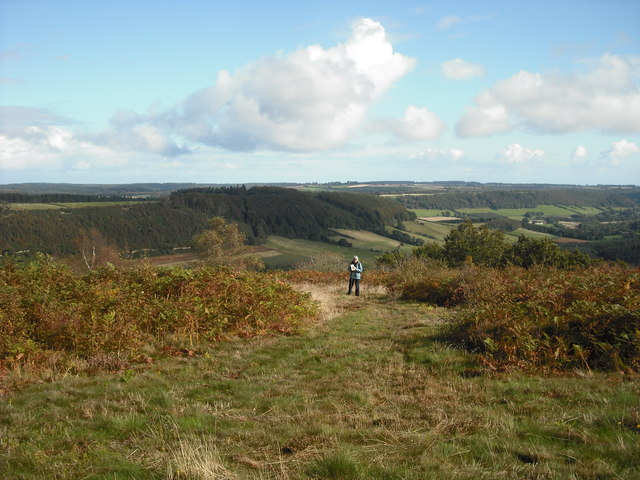
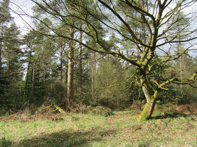
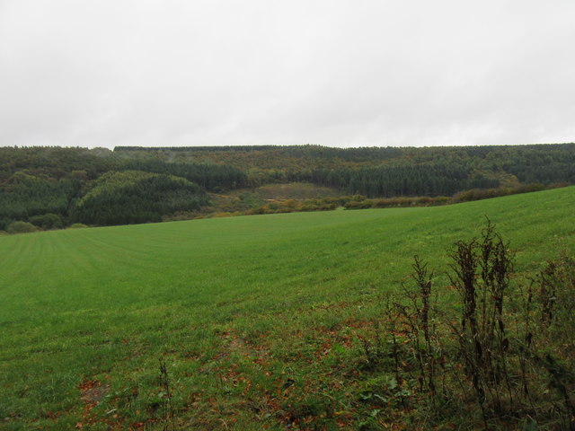
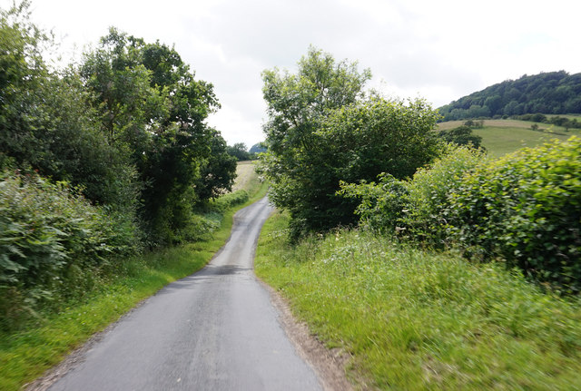
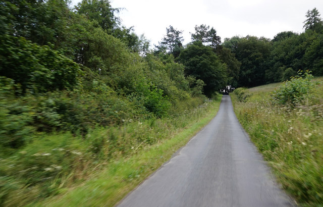
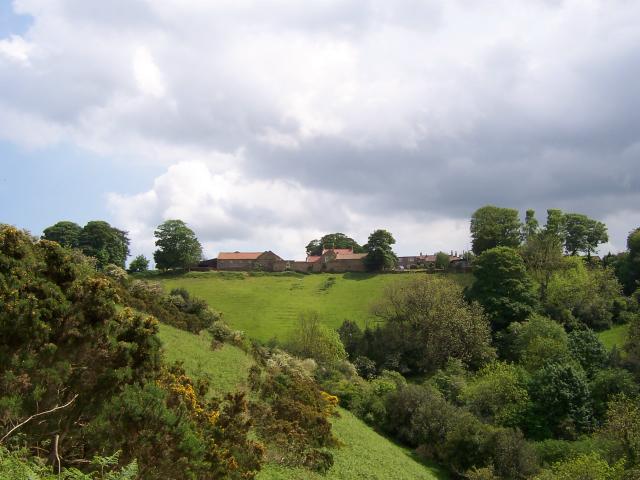
Broxa-cum-Troutsdale is known for its stunning natural beauty, with rolling hills, rugged moorland, and picturesque valleys. It is a popular destination for outdoor enthusiasts, offering numerous walking and hiking trails. The area is also home to an abundance of wildlife, including birds of prey, deer, and various species of flora and fauna.
The parish has a rich history, with evidence of human settlement dating back thousands of years. Ancient burial mounds and stone circles can be found in the surrounding moorland, providing a glimpse into the area's past. The local economy is primarily based on agriculture, with farming playing a significant role in the community.
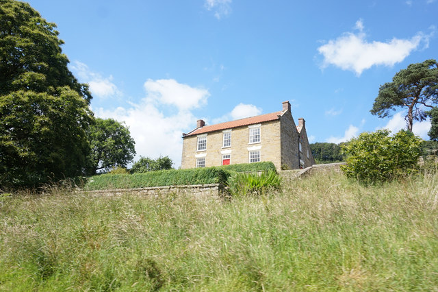
Broxa-cum-Troutsdale is a close-knit community, with a small population of around 200 residents. The parish has a village hall that serves as a focal point for social gatherings and community events. The nearest amenities, including shops and schools, can be found in the nearby towns of Scarborough and Pickering, which are approximately 10 miles away.
Overall, Broxa-cum-Troutsdale offers a tranquil and idyllic setting for those seeking a peaceful retreat amidst the beauty of the North York Moors.
If you have any feedback on the listing, please let us know in the comments section below.
Broxa-cum-Troutsdale Images
Images are sourced within 2km of 54.297914/-0.569675 or Grid Reference SE9390. Thanks to Geograph Open Source API. All images are credited.


Broxa-cum-Troutsdale is located at Grid Ref: SE9390 (Lat: 54.297914, Lng: -0.569675)
Division: North Riding
Administrative County: North Yorkshire
District: Scarborough
Police Authority: North Yorkshire
What 3 Words
///faded.loudly.chucked. Near East Ayton, North Yorkshire
Nearby Locations
Related Wikis

Darncombe-cum-Langdale End
Darncombe-cum-Langdale End is a civil parish in the former Scarborough district of North Yorkshire, England. According to the 2001 UK census, Darncombe...

Broxa-cum-Troutsdale
Broxa-cum-Troutsdale is a civil parish in the Scarborough district of North Yorkshire, England. The population as of the 2011 census remained less than...
Broxa, North Yorkshire
Broxa is a village in the Scarborough district of North Yorkshire, England, within the North York Moors National Park. The village is 6.2 miles (10 km...
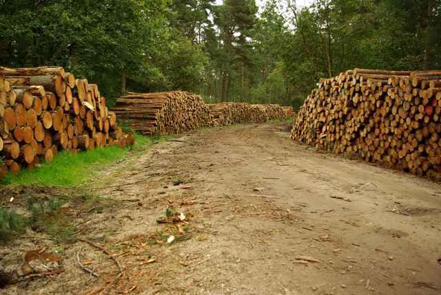
Wykeham Forest
Wykeham Forest is a 2,760-acre (1,115-hectare) woodland 6 miles (9.7 km) in the North York Moors National Park, near to Wykeham, west of Scarborough, England...
Nearby Amenities
Located within 500m of 54.297914,-0.569675Have you been to Broxa-cum-Troutsdale?
Leave your review of Broxa-cum-Troutsdale below (or comments, questions and feedback).