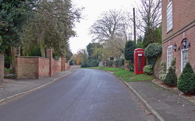
Broughton Astley
Civil Parish in Leicestershire Harborough
England
Broughton Astley

Broughton Astley is a civil parish located in the county of Leicestershire, England. It is situated approximately 12 miles southeast of Leicester city center and is part of the Harborough district. With a population of around 11,000 residents, it is one of the largest villages in the county.
The village has a rich history dating back to the Roman times, as evidenced by the discovery of Roman artifacts in the area. Over the years, Broughton Astley has evolved from a small agricultural community to a thriving residential area with a mix of modern houses and traditional cottages.
The village offers a range of amenities for its residents, including a variety of shops, supermarkets, pubs, and restaurants. There is also a medical center, library, and primary school, providing essential services for the local community. For secondary education, students typically attend nearby Lutterworth College.
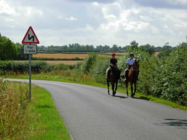
The surrounding countryside provides ample opportunities for outdoor activities, with several parks and green spaces in and around the village. Broughton Astley is also known for its extensive network of footpaths, making it an ideal location for walkers and nature enthusiasts.
Transport links in the area are excellent, with regular bus services connecting the village to Leicester and other nearby towns. The M1 motorway is easily accessible, providing convenient access to major cities such as Birmingham and Nottingham.
Overall, Broughton Astley is a picturesque village with a close-knit community, offering a peaceful and idyllic lifestyle for its residents.
If you have any feedback on the listing, please let us know in the comments section below.
Broughton Astley Images
Images are sourced within 2km of 52.533815/-1.228757 or Grid Reference SP5293. Thanks to Geograph Open Source API. All images are credited.


Broughton Astley is located at Grid Ref: SP5293 (Lat: 52.533815, Lng: -1.228757)
Administrative County: Leicestershire
District: Harborough
Police Authority: Leicestershire
What 3 Words
///island.station.pocketed. Near Broughton Astley, Leicestershire
Nearby Locations
Related Wikis
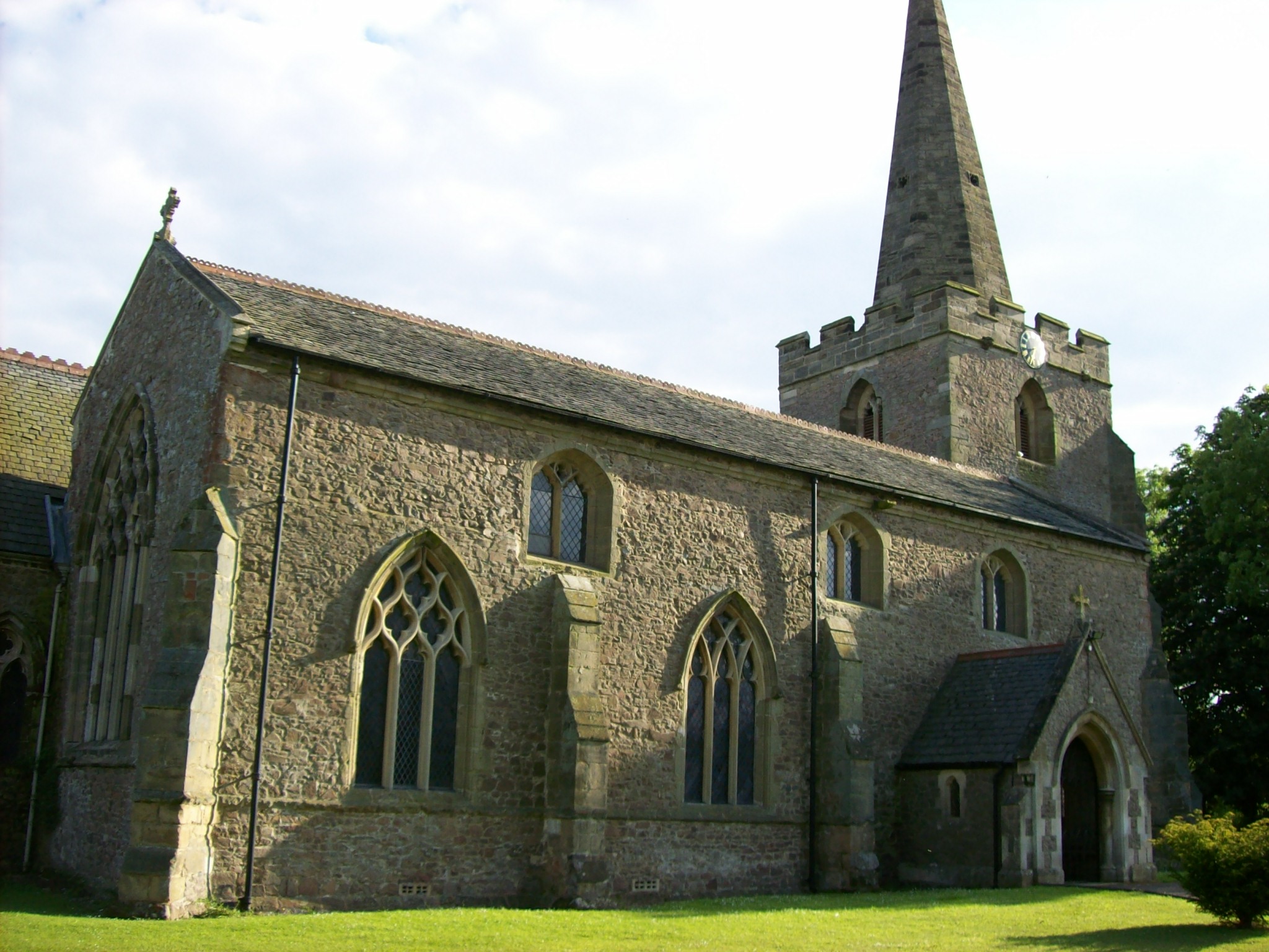
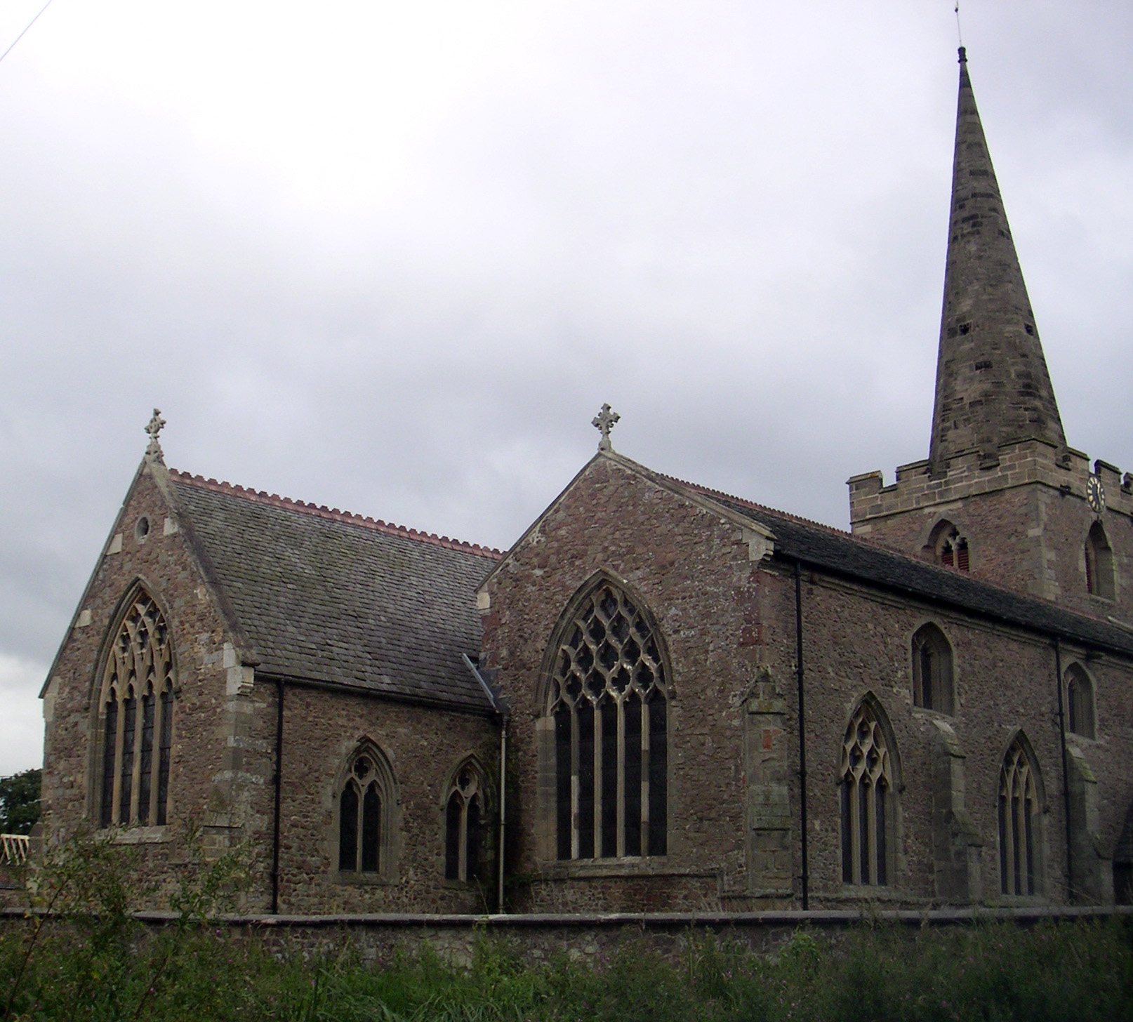
St Mary's Church, Broughton Astley
St Mary's Church is a church in Broughton Astley, Leicestershire. It is a Grade II* listed building. == History == The church dates to 1220 but the nave...

Thomas Estley Community College
Thomas Estley Community College is a coeducational secondary school with academy status, located in Broughton Astley, Leicestershire, England. It caters...
Broughton Astley
Broughton Astley is a large village and civil parish located in the Harborough district of Leicestershire, England. It is situated in the south of Leicestershire...

Sutton in the Elms
Sutton in the Elms is a settlement in the northwest of Broughton Astley (where the population is listed), Leicestershire. Its name is sometimes abbreviated...
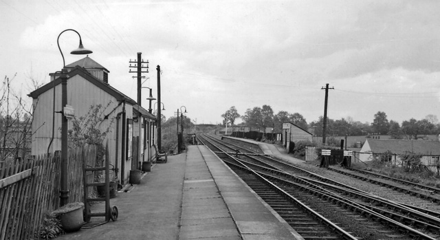
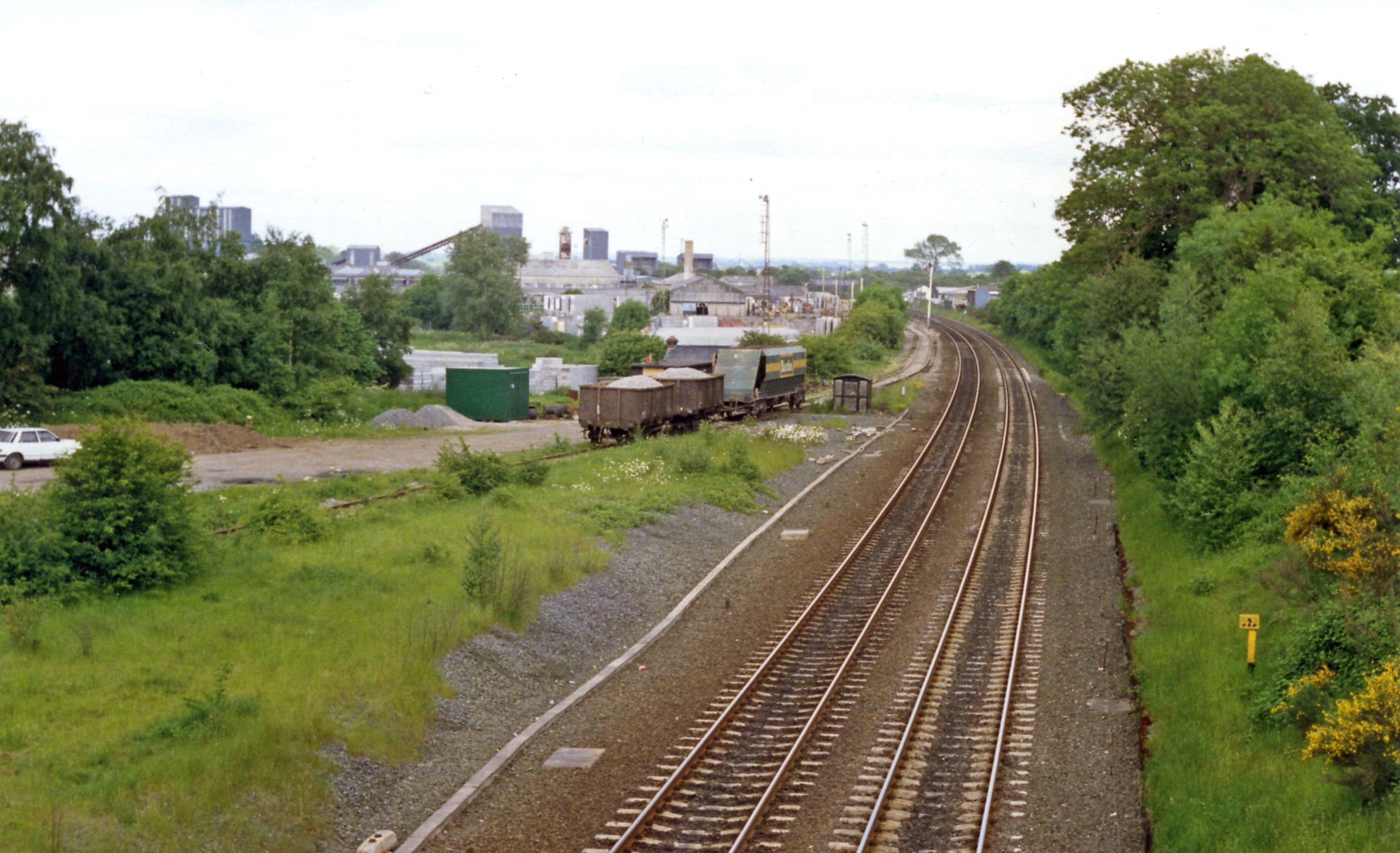
Broughton Astley railway station
Broughton Astley railway station was a railway station serving Broughton Astley in Leicestershire, England. The station was opened on 30 June 1840 on the...

Croft, Leicestershire
Croft is a village and civil parish in the Blaby district of Leicestershire, off the Fosse Way, straddling the River Soar. The population of the civil...
Croft railway station, Leicester
Croft railway station was a railway station serving the village of Croft in Leicestershire. It was on the Birmingham to Peterborough Line about 9 miles...
Frolesworth
Frolesworth is a small village and civil parish in the Harborough district of Leicestershire, England. It lies four miles north of Lutterworth, three from...
Nearby Amenities
Located within 500m of 52.533815,-1.228757Have you been to Broughton Astley?
Leave your review of Broughton Astley below (or comments, questions and feedback).