Broughton
Civil Parish in Lancashire Preston
England
Broughton

Broughton is a civil parish located in Lancashire, England. Situated just outside the city of Preston, it is a small village with a population of around 7,500 people. Broughton is known for its picturesque countryside and charming rural atmosphere.
The village dates back to medieval times and still retains much of its historical character. The main focal point of Broughton is the Grade II listed St. John Baptist Church, a beautiful architectural gem that stands as a testament to the village's rich history. The church, built in the 16th century, is a popular attraction for tourists and locals alike.
Broughton is also home to several traditional pubs, shops, and local amenities, providing residents with everything they need for day-to-day life. The village has a strong sense of community, with various events and activities taking place throughout the year, including a popular annual summer fair.
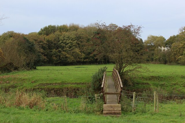
Surrounded by rolling hills and open farmland, Broughton offers plenty of opportunities for outdoor activities and leisure pursuits. The area is well-known for its scenic walking trails and cycling routes, attracting visitors from across the region.
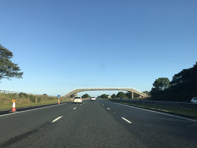
With its close proximity to the city of Preston, Broughton benefits from excellent transport links, making it an attractive place to live for commuters. The village provides a peaceful retreat from the hustle and bustle of city life while still offering easy access to urban amenities.
Overall, Broughton is a quaint and welcoming village that combines historical charm with a picturesque rural setting, making it a desirable place to live or visit in Lancashire.
If you have any feedback on the listing, please let us know in the comments section below.
Broughton Images
Images are sourced within 2km of 53.807875/-2.712681 or Grid Reference SD5334. Thanks to Geograph Open Source API. All images are credited.


Broughton is located at Grid Ref: SD5334 (Lat: 53.807875, Lng: -2.712681)
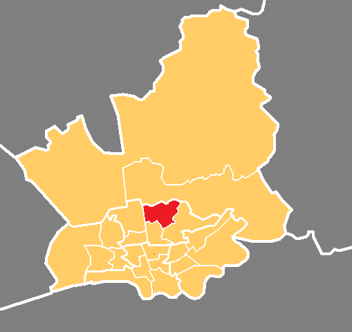
Administrative County: Lancashire
District: Preston
Police Authority: Lancashire
What 3 Words
///pill.frost.boom. Near Goosnargh, Lancashire
Nearby Locations
Related Wikis
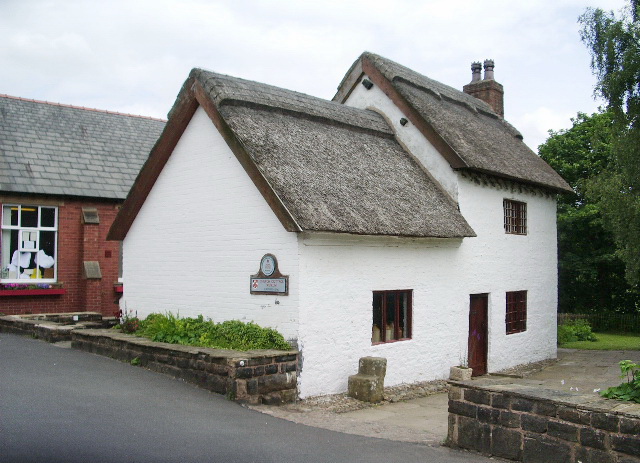
Church Cottage Museum
Church Cottage Museum is a 16th-century cottage in Broughton, City of Preston, Lancashire, England. The cottage is grade II listed and is operated as a...
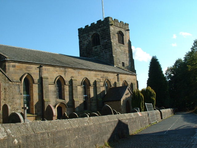
St John the Baptist's Church, Broughton
St John the Baptist's Church is in Church Lane, Broughton, Lancashire, England. It is an active Anglican parish church in the deanery of Preston, the archdeaconry...
Broughton, Lancashire
Broughton is a village and civil parish in the City of Preston, Lancashire, England, approximately 4 miles (6 km) north of Preston city centre. According...

Broughton High School, Lancashire
Broughton High School is a coeducational secondary school located in Broughton in the English county of Lancashire.Established in 1975, it is a community...
Broughton railway station (England)
Broughton railway station served the village of Broughton, Lancashire, England, from June to November 1840 on the Lancaster and Preston Junction Railway...
RAF Barton Hall
Royal Air Force Barton Hall or more simply RAF Barton Hall is a former Royal Air Force station situated between the villages of Barton and Broughton, near...
Sharoe Green
Sharoe Green () is a largely residential suburban area of Preston, Lancashire, England, and an electoral ward. It is nowadays usually considered to be...
Royal Preston Hospital
The Royal Preston Hospital or RPH, is an acute general hospital in Preston, Lancashire, England. It is managed by the Lancashire Teaching Hospitals NHS...
Nearby Amenities
Located within 500m of 53.807875,-2.712681Have you been to Broughton?
Leave your review of Broughton below (or comments, questions and feedback).