Briningham
Civil Parish in Norfolk North Norfolk
England
Briningham
Briningham is a civil parish located in the county of Norfolk, England. It is situated approximately 7 miles north of the market town of Holt and 3 miles west of Melton Constable. The parish covers an area of about 4 square miles and is home to a small population of around 200 residents.
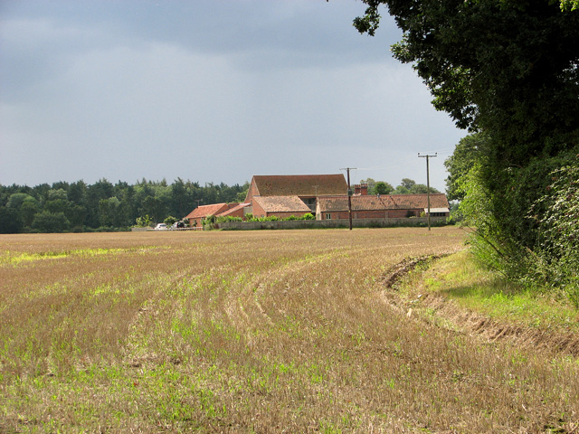
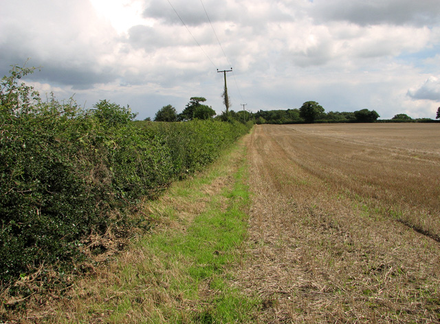
The village of Briningham is positioned on a gentle slope, overlooking the picturesque countryside of Norfolk. It is characterized by its charming rural atmosphere, with a mix of traditional Norfolk cottages and modern houses scattered throughout the area. The parish is surrounded by agricultural land, which adds to its scenic beauty.
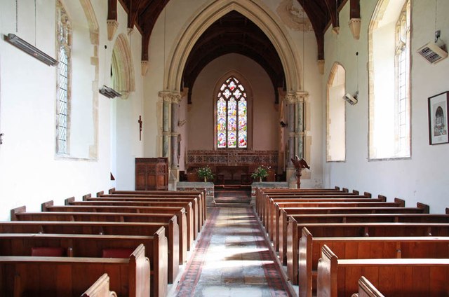
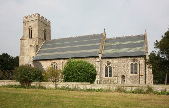
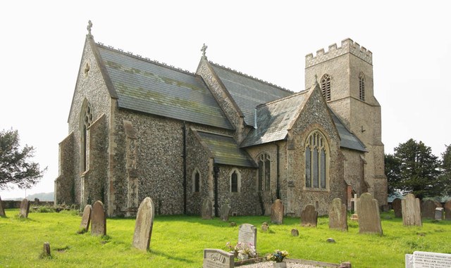
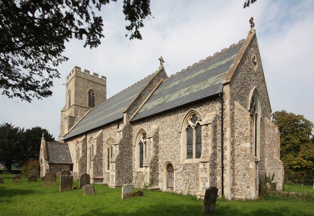
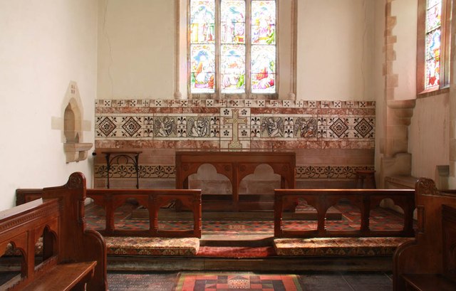
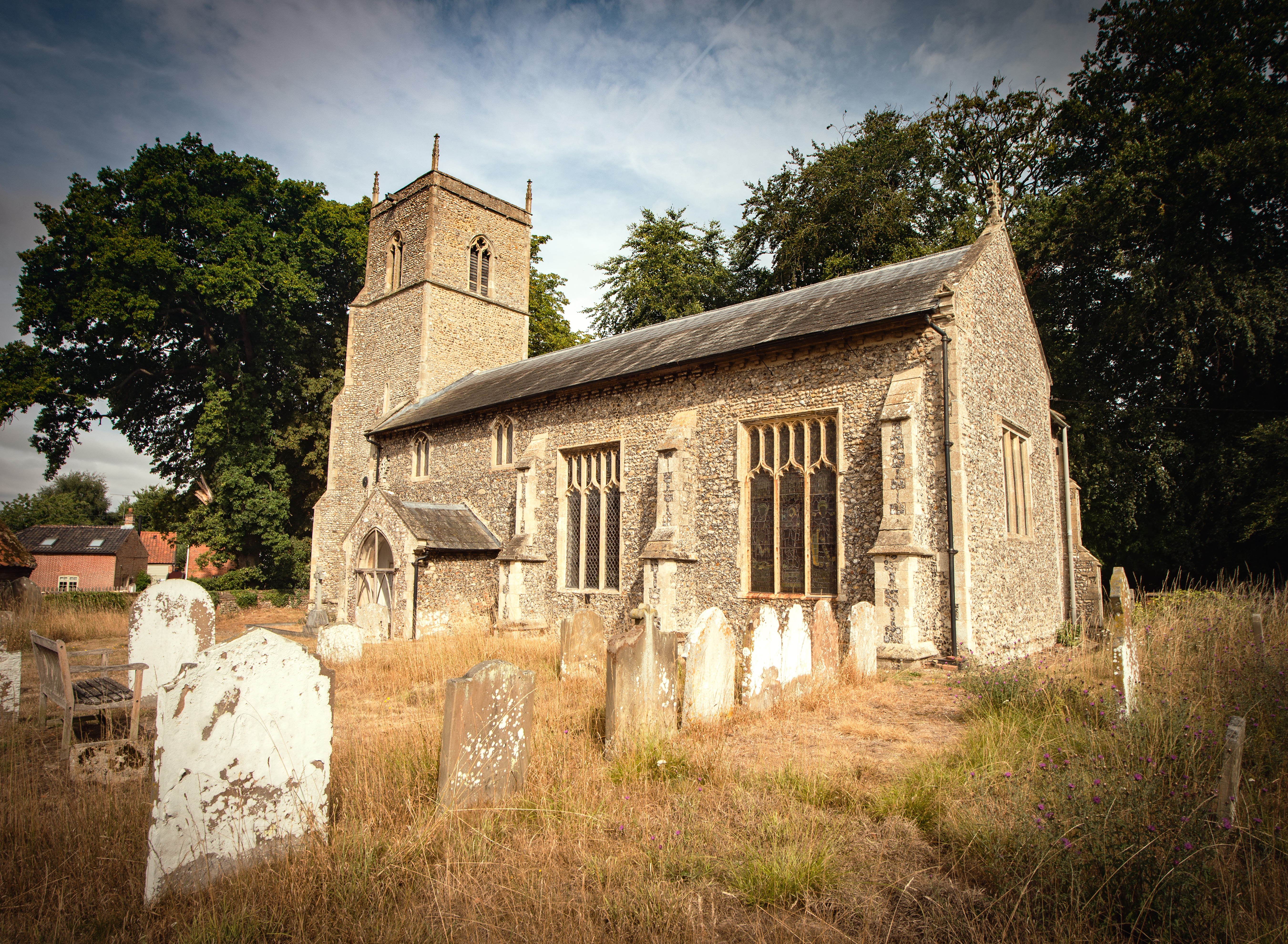
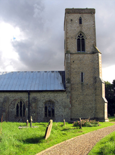
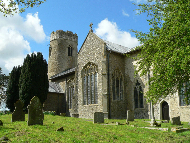
Briningham is known for its close-knit community and friendly atmosphere. It has a village hall, which serves as a center for various social activities and events, promoting a sense of togetherness among the residents. The parish also has a church, St. Maurice, which dates back to the 14th century and is a prominent landmark in the area.
The village offers a peaceful and quiet environment, making it an ideal place for those seeking a tranquil countryside lifestyle. It is well-connected to other nearby towns and villages, with good road links and public transport options available.
While Briningham may be small in size, it offers a warm and welcoming atmosphere, beautiful surroundings, and a sense of community that is highly valued by its residents.
If you have any feedback on the listing, please let us know in the comments section below.
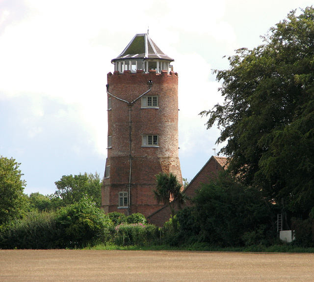
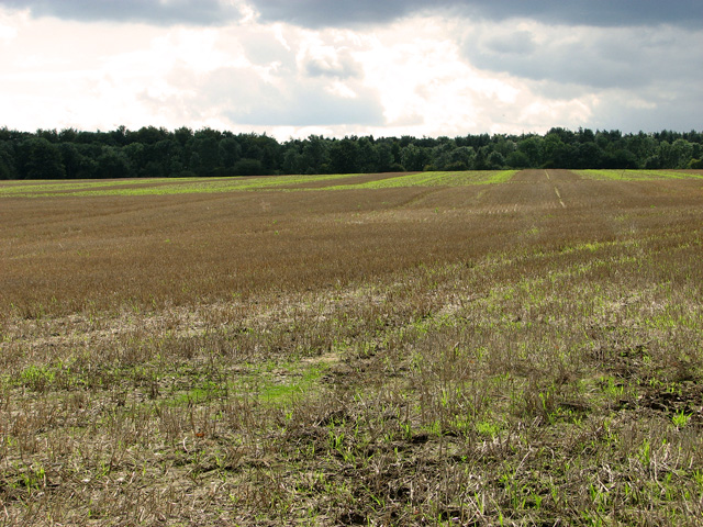
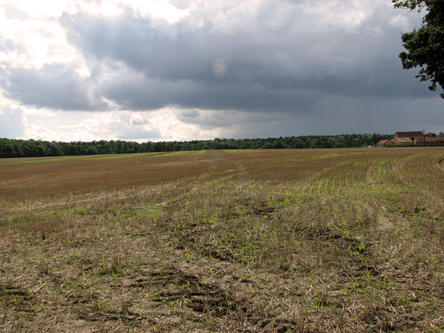
Briningham Images
Images are sourced within 2km of 52.86622/1.010856 or Grid Reference TG0234. Thanks to Geograph Open Source API. All images are credited.


Briningham is located at Grid Ref: TG0234 (Lat: 52.86622, Lng: 1.010856)
Administrative County: Norfolk
District: North Norfolk
Police Authority: Norfolk
What 3 Words
///barn.litigate.searched. Near Briston, Norfolk
Nearby Locations
Related Wikis

Briningham
Briningham is a village and a civil parish in the English county of Norfolk. The village is 9.9 miles east north east of the town of Fakenham, 13.3 miles...
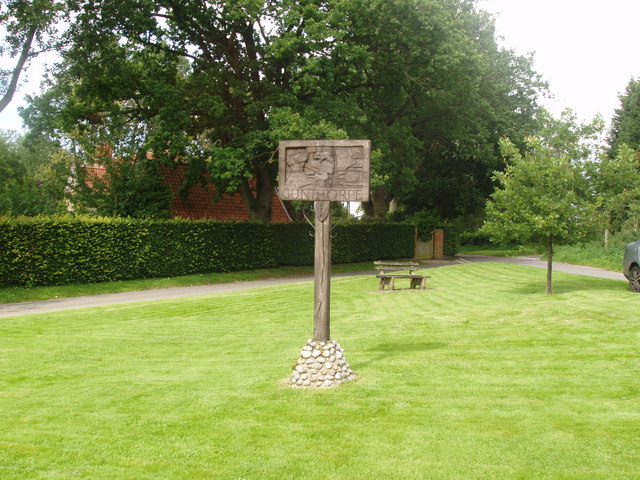
Gunthorpe, Norfolk
Gunthorpe is a village and a civil parish in the English county of Norfolk. The village is 8.6 miles east north east of the town of Fakenham, 14.9 miles...

Melton Constable
Melton Constable is a village and civil parish in the English county of Norfolk. It covers an area of 6.96 km2 (2.69 sq mi) and had a population of 518...

Melton Constable railway station
Melton Constable was a railway station on the Midland and Great Northern Railway which served the North Norfolk village of Melton Constable from 1882 to...

Swanton Novers
Swanton Novers is a village and a civil parish in the English county of Norfolk. The village is 15.1 miles (24.3 km) west-south-west of Cromer, 23.1 miles...
Brinton, Norfolk
Brinton is a village and a civil parish in the English county of Norfolk. The village is 10.8 miles east-north-east of the town of Fakenham, 13.1 miles...
Sharrington
Sharrington is a village and former civil parish, now in the parish of Brinton, in the North Norfolk district, in the county of Norfolk, England. The village...
Stody
Stody is a village and a civil parish in the English county of Norfolk. The village is 13.2 miles (21.2 km) west south west of Cromer, 21.8 miles (35.1...
Have you been to Briningham?
Leave your review of Briningham below (or comments, questions and feedback).