Bringhurst

Civil Parish in Leicestershire Harborough

England

Bringhurst

Cottingham from the Jurassic Way A view of Cottingham as seen from the Jurassic Way Long Distance footpath on the way towards Middleton.
Cottingham from the Jurassic Way Credit: Michael Trolove

Bringhurst is a civil parish located in the county of Leicestershire, England. It lies within the Harborough district, a rural area known for its picturesque landscapes and charming villages. Bringhurst itself is situated approximately 6 miles northeast of the market town of Market Harborough.

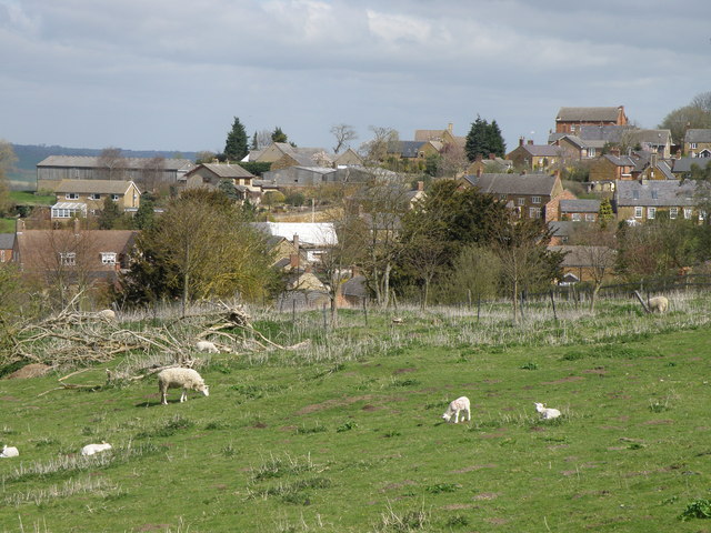
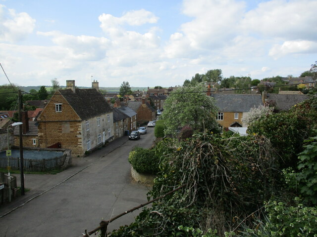
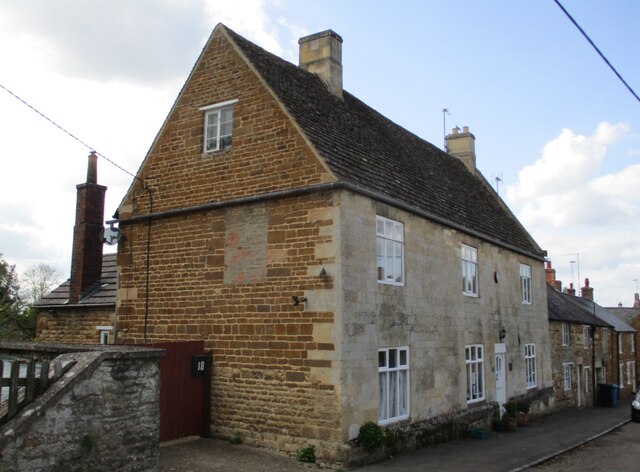
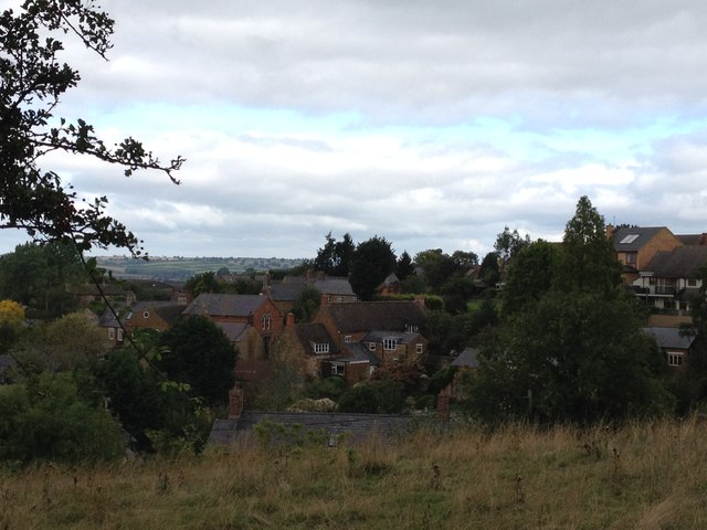
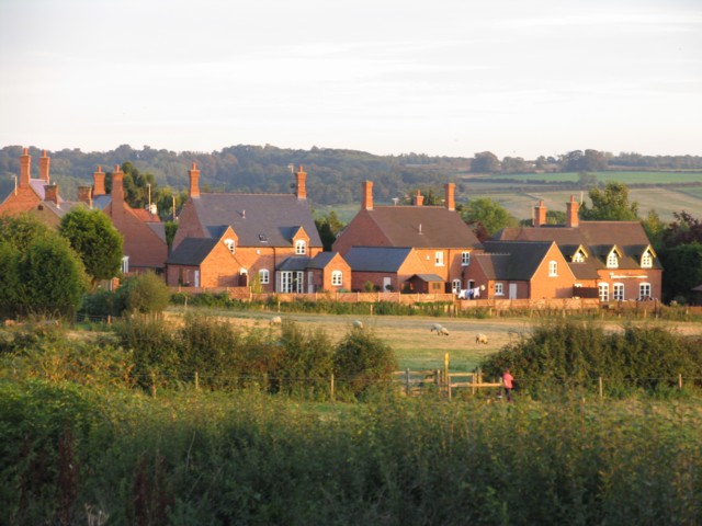
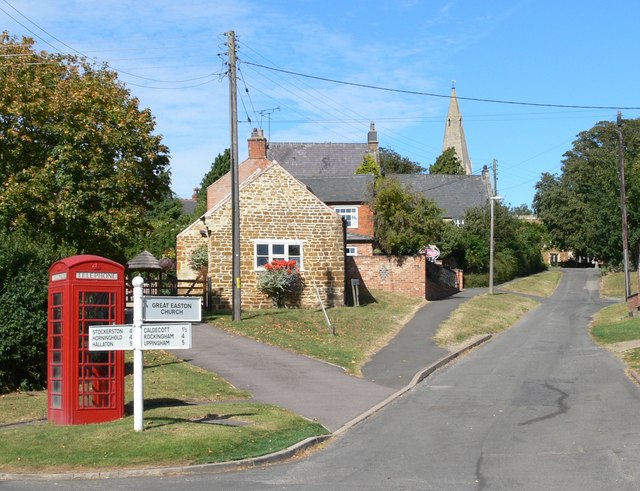
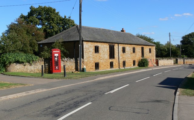
The parish covers a total area of around 1,200 acres and is home to a small population of residents. The village is characterized by its traditional stone-built cottages and houses, which add to its rural charm. The surrounding countryside offers beautiful views of rolling hills and farmland, making it an ideal location for those seeking a peaceful and idyllic setting.

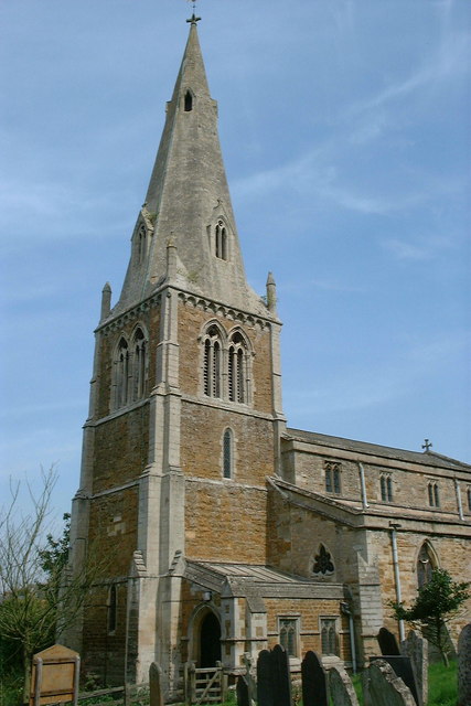
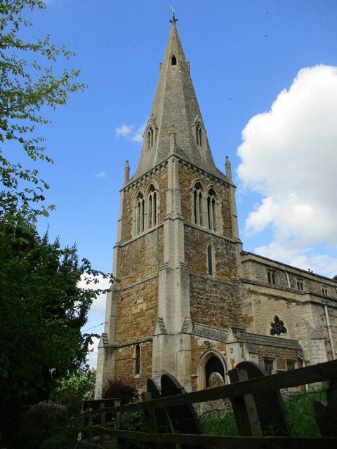
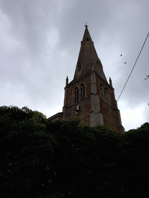
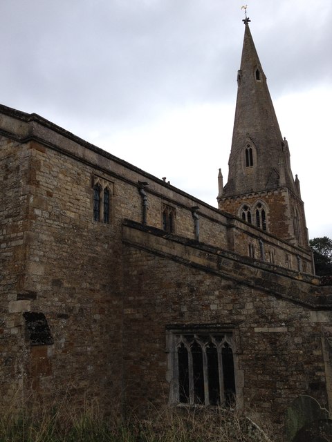
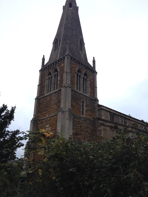
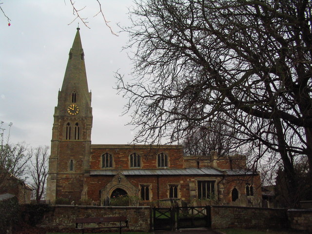
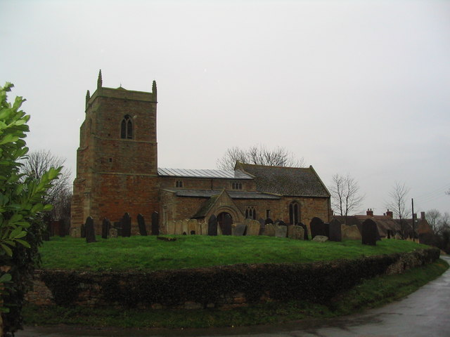
Despite its small size, Bringhurst boasts a strong sense of community and has a number of facilities to cater to the needs of its residents. These include a village hall, which serves as a hub for local events and gatherings, and a small church, St. Nicholas Church, which dates back to the 13th century and holds regular services.

The village is well-connected to the surrounding areas, with good road links to nearby towns and villages. It is also within easy reach of the A47, providing convenient access to cities such as Leicester and Peterborough.

Overall, Bringhurst offers a tranquil and close-knit community in a picturesque setting, making it an attractive place to live for those seeking a slower pace of life in the Leicestershire countryside.

If you have any feedback on the listing, please let us know in the comments section below.
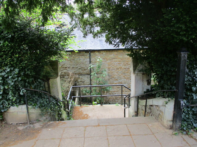
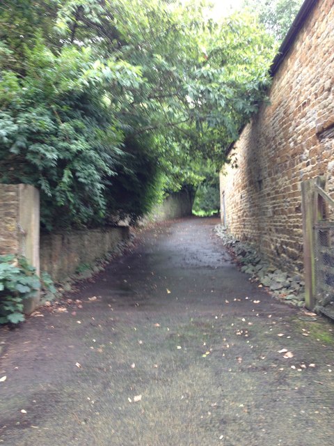
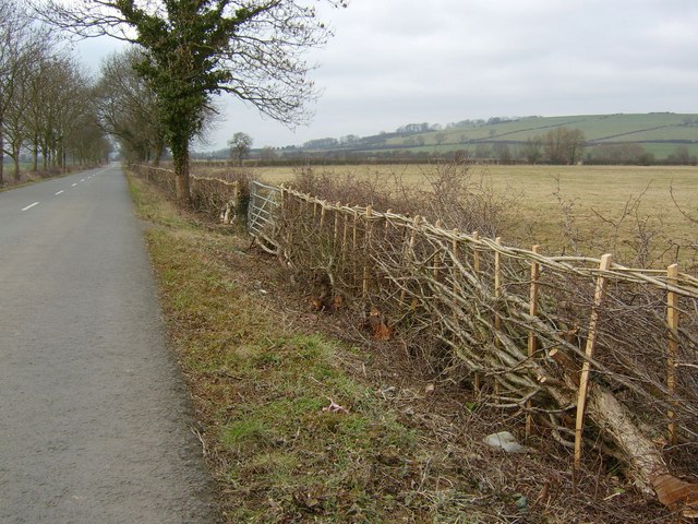
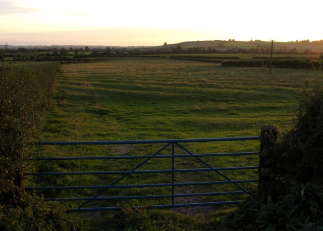
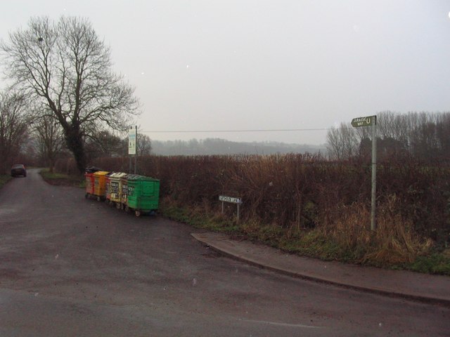
Bringhurst Images

Images are sourced within 2km of 52.518525/-0.758548 or Grid Reference SP8491. Thanks to Geograph Open Source API. All images are credited.

Cottingham from the Jurassic Way A view of Cottingham as seen from the Jurassic Way Long Distance footpath on the way towards Middleton.
Cottingham from the Jurassic Way
A view of Cottingham as seen from the Jurassic Way Long Distance footpath on the way towards Middleton.
St Mary Magdalene church, Cottingham, Northamptonshire
Church Street, Cottingham Seen from the churchyard.
Church Street, Cottingham
Seen from the churchyard.
Church House, Cottingham Eighteenth century house <span class="nowrap"><a title="https://historicengland.org.uk/listing/the-list/list-entry/1051748?section=official-list-entry" rel="nofollow ugc noopener" href="https://historicengland.org.uk/listing/the-list/list-entry/1051748?section=official-list-entry">Link</a><img style="margin-left:2px;" alt="External link" title="External link - shift click to open in new window" src="https://s1.geograph.org.uk/img/external.png" width="10" height="10"/></span>
Church House, Cottingham
Eighteenth century house LinkExternal link
Steps down from the church, Cottingham The church at Cottingham stands some height above Church Street which is accessed by these steps.
Steps down from the church, Cottingham
The church at Cottingham stands some height above Church Street which is accessed by these steps.
The church of St. Mary Magdalene, Cottingham The tower and spire date from the fourteenth century <span class="nowrap"><a title="https://historicengland.org.uk/listing/the-list/list-entry/1051745?section=official-list-entry" rel="nofollow ugc noopener" href="https://historicengland.org.uk/listing/the-list/list-entry/1051745?section=official-list-entry">Link</a><img style="margin-left:2px;" alt="External link" title="External link - shift click to open in new window" src="https://s1.geograph.org.uk/img/external.png" width="10" height="10"/></span>
The church of St. Mary Magdalene, Cottingham
The tower and spire date from the fourteenth century LinkExternal link
St. Mary Magdalene, Cottingham
Footpath near St. Mary Magdalene, Cottingham
St. Mary Magdalene, Cottingham
View over Cottingham
Cottingham Parish Church
Hunting Lodge Hotel Hunting Lodge Hotel, Cottingham in the heart of the idyllic Welland Valley on the border of Rutland and East Northamptonshire
Hunting Lodge Hotel
Hunting Lodge Hotel, Cottingham in the heart of the idyllic Welland Valley on the border of Rutland and East Northamptonshire
Traditional hedging near Middleton, Northamptonshire A newly relaid hedge beside the Middleton to Ashley road. The view is north-westward.
Traditional hedging near Middleton, Northamptonshire
A newly relaid hedge beside the Middleton to Ashley road. The view is north-westward.
Great Easton Houses
Great Easton Houses
Ridges and Furrows As the sun sets the pattern of the ridges and furrows in this field are well emphasised.
Ridges and Furrows
As the sun sets the pattern of the ridges and furrows in this field are well emphasised.
Recycling on the Jurassic Way Recycling bins alongside the Jurassic Way between Rockingham (straight ahead) and Great Easton (right).
Recycling on the Jurassic Way
Recycling bins alongside the Jurassic Way between Rockingham (straight ahead) and Great Easton (right).
Church of St Andrew, Great Easton
Church of St Nicholas, Bringhurst Fine Norman arches inside, and a lovely hilltop setting
Church of St Nicholas, Bringhurst
Fine Norman arches inside, and a lovely hilltop setting
Show me another place!

Bringhurst is located at Grid Ref: SP8491 (Lat: 52.518525, Lng: -0.758548)

Administrative County: Leicestershire

District: Harborough

Police Authority: Leicestershire

What 3 Words

///silks.bluffing.roughness. Near Cottingham, Northamptonshire

Nearby Locations

Bringhurst

Related Wikis

Nearby Amenities

Located within 500m of 52.518525,-0.758548
Bringhurst
Is In: Harborough District
Note: Leicestershire;England;UK
Place: village
Lat/Long: 52.5216207/-0.7614045
Bus Stop
Telephone Box
Bus: yes
Naptan AtcoCode: 260017803
Naptan Bearing: SE
Naptan BusStopType: CUS
Naptan CommonName: Telephone Box
Naptan Indicator: adj
Naptan Landmark: Telephone Box
Naptan NaptanCode: leijmatw
Naptan Notes: Hourly - County
Naptan Street: Great Easton Road
Naptan Verified: no
Public Transport: platform
Source: naptan_import
Lat/Long: 52.5213086/-0.7605117
Barrier: stile
Lat/Long: 52.5200338/-0.7634138
Barrier: stile
Lat/Long: 52.5204933/-0.7623467
Barrier: stile
Lat/Long: 52.5199917/-0.7634348
Barrier: stile
Lat/Long: 52.5214783/-0.7553056
Barrier: stile
Lat/Long: 52.5223247/-0.7547845
Barrier: stile
Lat/Long: 52.5194771/-0.758384
Telephone
Defibrillator
Booth: K6
Covered: booth
Defibrillator Location: inside red phone box, Bringhurst
Emergency: defibrillator
Listed Status: Grade II
Man Made: telephone_box
Old Phone: +44 1536 771657
Lat/Long: 52.5211791/-0.7606502
Post Box
Post Box Type: wall
Lat/Long: 52.5211123/-0.7609278
The data included in this document is from www.openstreetmap.org. The data is made available under ODbL.

Have you been to Bringhurst?

Leave your review of Bringhurst below (or comments, questions and feedback).