Bridge Sollers
Civil Parish in Herefordshire
England
Bridge Sollers

Bridge Sollers is a civil parish located in the county of Herefordshire, England. It is situated approximately 9 miles east of the city of Hereford. The parish covers an area of about 5 square miles and is bordered by the River Wye to the west.
The village of Bridge Sollers is the main settlement within the parish. It is a small, rural village with a population of around 200 people. The village is characterized by its picturesque countryside surroundings, with rolling hills and lush green fields.
The parish is known for its agricultural activities, with farming being an important part of the local economy. The fertile soil and favorable climate of the area make it suitable for arable farming and livestock rearing. Crops such as wheat, barley, and oats are cultivated, while sheep and cattle farming are also prevalent.
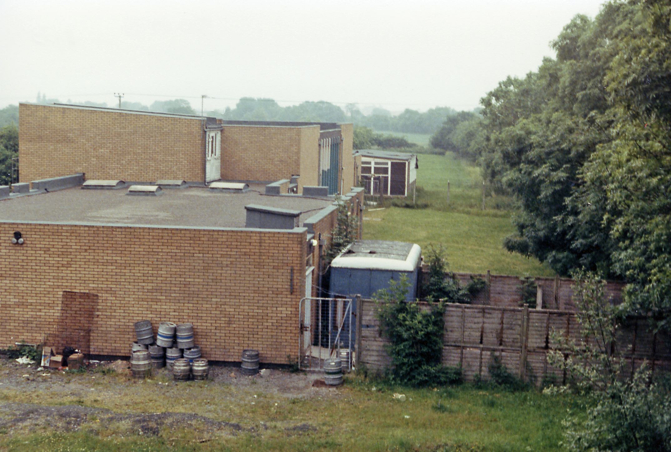
The village has a close-knit community, with a village hall serving as a hub for social gatherings and events. There is also a local pub that provides a meeting place for residents and visitors alike.
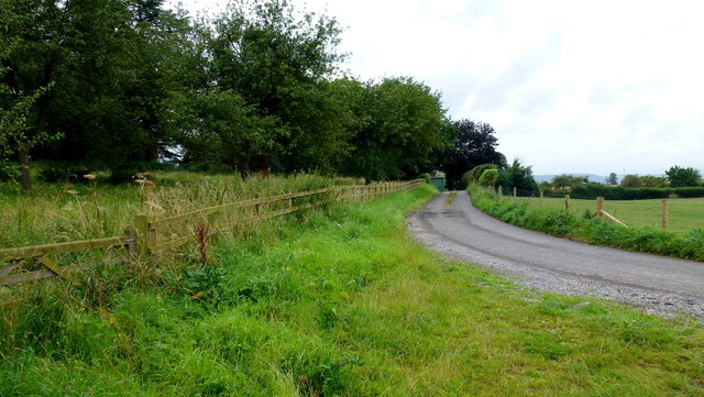
The parish is rich in natural beauty, with several walking and cycling routes that allow visitors to explore the idyllic countryside. The nearby River Wye offers opportunities for fishing and boating.
In summary, Bridge Sollers is a peaceful and picturesque civil parish in Herefordshire, known for its agricultural activities and close-knit community. Its natural beauty and rural charm make it an attractive destination for those seeking tranquility and a connection with nature.
If you have any feedback on the listing, please let us know in the comments section below.
Bridge Sollers Images
Images are sourced within 2km of 52.07223/-2.851894 or Grid Reference SO4141. Thanks to Geograph Open Source API. All images are credited.


Bridge Sollers is located at Grid Ref: SO4141 (Lat: 52.07223, Lng: -2.851894)
Unitary Authority: County of Herefordshire
Police Authority: West Mercia
What 3 Words
///think.entertainer.reclusive. Near Bridge Sollers, Herefordshire
Nearby Locations
Related Wikis

Bridge Sollers
Bridge Sollers is a village and civil parish in Herefordshire, England, 10 km (6.2 mi) west of Hereford, on the River Wye. The village consists of 12 households...

Bishopstone, Herefordshire
Bishopstone is a village and civil parish in Herefordshire, England, 10 km (6.2 mi) west of Hereford, near the River Wye and the Roman town of Magnis....

The Weir Garden
The Weir Garden is a National Trust property near Swainshill (see Stretton Sugwas), Herefordshire, lying alongside the River Wye 5 mi (8.0 km) west of...

Byford
Byford is a village and civil parish on the River Wye in Herefordshire, England, about 11 km (7 mi) west of Hereford. According to the 2001 census, it...

Kenchester
Kenchester is a parish in Herefordshire, England. It is about 5.5 miles (9 km) west-northwest of Hereford. Kenchester is near the Romano-British town of...

Magnis (Kenchester)
Magnae, sometimes Magnae Dobunnorum (Latin for "The Greats of the Dobunni") to distinguish it from the Magnae of the Carvetii on Hadrian's Wall in northern...
Mansel Lacy
Mansel Lacy (alternatively spelled Mansell Lacy) is a small village and civil parish in Herefordshire, England. It is 7 miles (11 km) north west of Hereford...
Credenhill railway station
Credenhill railway station first opened on 30 June 1863 and finally closed by the Western Region of British Railways on 31 December 1962. The site is now...
Nearby Amenities
Located within 500m of 52.07223,-2.851894Have you been to Bridge Sollers?
Leave your review of Bridge Sollers below (or comments, questions and feedback).