Broad Alley

Settlement in Worcestershire Wychavon

England

Broad Alley

Elmbridge Village Hall
Elmbridge Village Hall Credit: Philip Halling

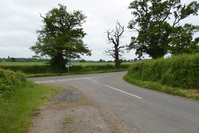
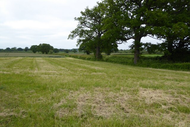
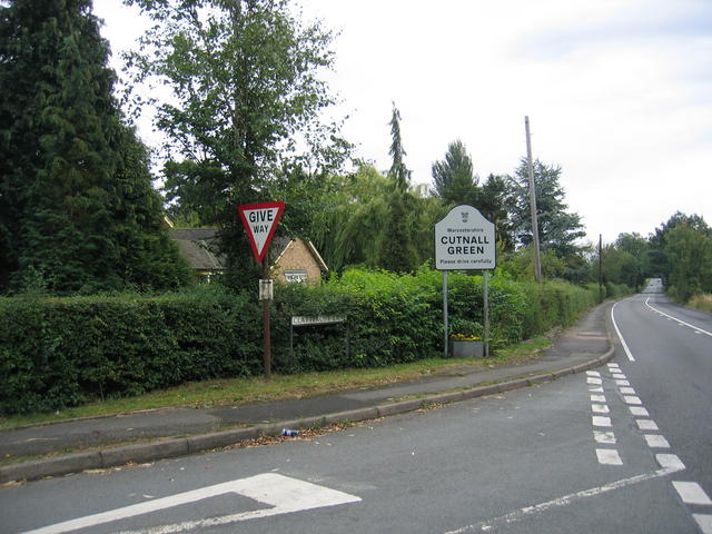
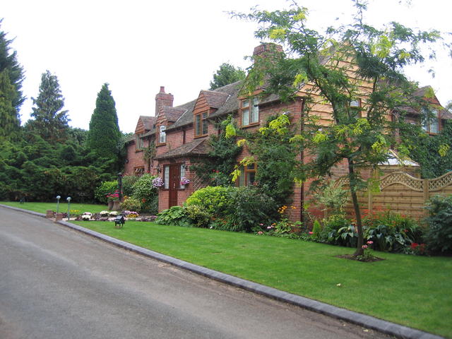
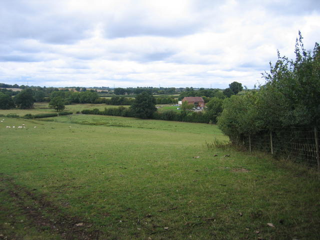
Broad Alley is a charming village located in the county of Worcestershire, England. Situated in the West Midlands, this picturesque settlement is known for its idyllic countryside, historic architecture, and friendly community. The village is nestled in a peaceful valley surrounded by rolling hills and lush greenery, providing a tranquil escape from the hustle and bustle of city life.

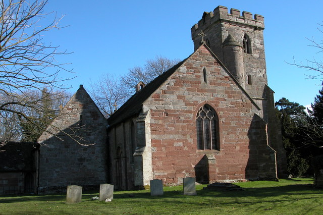
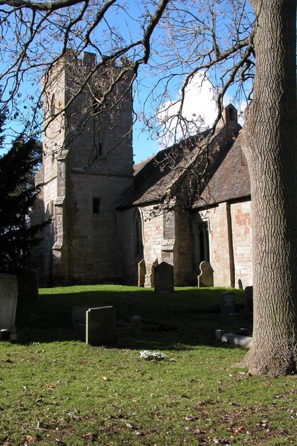
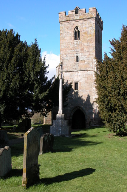
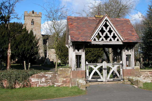
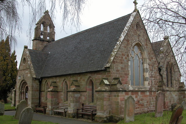
Broad Alley is home to a population of around 500 residents, who take great pride in preserving the village's rich heritage. The architecture reflects the village's long history, with many traditional timber-framed cottages and historic buildings dotting the landscape. The local church, St. Mary's, is a notable landmark, dating back to the 13th century and featuring a stunning medieval tower.

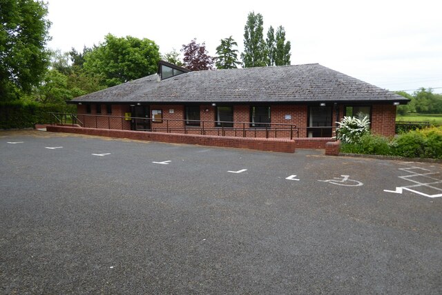
The village offers a range of amenities to cater to its residents' needs. These include a village hall, a primary school, and a small convenience store. For those seeking recreational activities, Broad Alley boasts several scenic walking trails, providing ample opportunities to explore the surrounding countryside and enjoy the beauty of nature.

Broad Alley is also conveniently located near larger towns and cities. The market town of Bromsgrove is just a short drive away, offering a wider range of amenities, shopping opportunities, and a train station with connections to Birmingham and Worcester.

Overall, Broad Alley is a picturesque village with a strong sense of community and a rich heritage. Its peaceful setting and close proximity to larger towns make it an ideal place for those seeking a tranquil yet well-connected rural lifestyle.

If you have any feedback on the listing, please let us know in the comments section below.
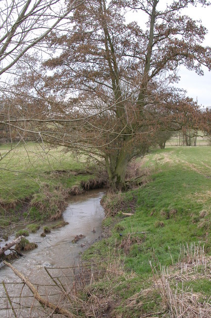
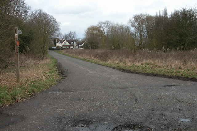
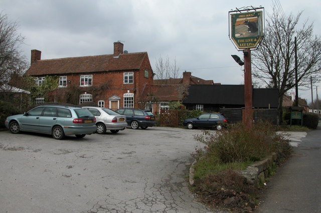
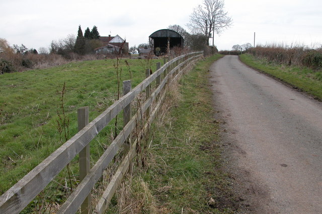
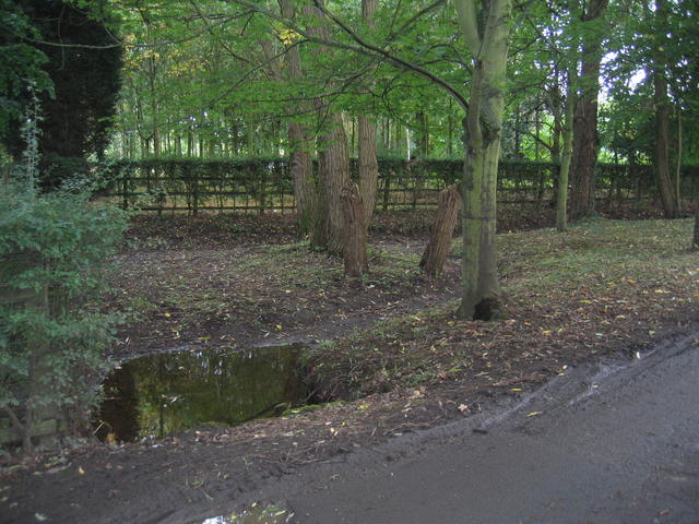
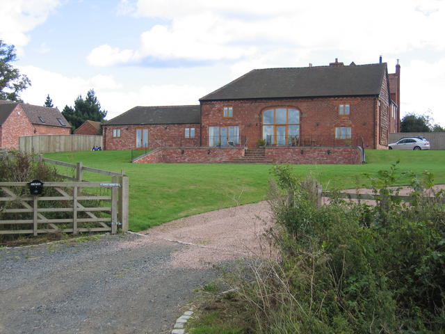
Broad Alley Images

Images are sourced within 2km of 52.304563/-2.170095 or Grid Reference SO8867. Thanks to Geograph Open Source API. All images are credited.

Elmbridge Village Hall
Road junction near Elmbridge
Farmland beside Crutch Lane Farmland beside Crutch Lane near Elmbridge.
Farmland beside Crutch Lane
Farmland beside Crutch Lane near Elmbridge.
St Mary's church, Hampton Lovett For more information see <span class="nowrap"><a title="http://www.crsbi.ac.uk/ed/wo/hamlo/index.htm" rel="nofollow ugc noopener" href="http://www.crsbi.ac.uk/ed/wo/hamlo/index.htm">Link</a><img style="margin-left:2px;" alt="External link" title="External link - shift click to open in new window" src="https://s1.geograph.org.uk/img/external.png" width="10" height="10"/></span>
St Mary's church, Hampton Lovett
For more information see LinkExternal link
St Mary's church, Hampton Lovett See: <span class="nowrap"><a title="http://www.crsbi.ac.uk/ed/wo/hamlo/index.htm" rel="nofollow ugc noopener" href="http://www.crsbi.ac.uk/ed/wo/hamlo/index.htm">Link</a><img style="margin-left:2px;" alt="External link" title="External link - shift click to open in new window" src="https://s1.geograph.org.uk/img/external.png" width="10" height="10"/></span>
St Mary's church, Hampton Lovett
See: LinkExternal link
The tower of St Mary's church, Hampton Lovett Parts of St Mary's church at Hampton Lovett date from Norman times.
The tower of St Mary's church, Hampton Lovett
Parts of St Mary's church at Hampton Lovett date from Norman times.
Lych Gate to Hampton Lovett church Lych gate entrance to the churchyard of St Mary's church, Hampton Lovett
Lych Gate to Hampton Lovett church
Lych gate entrance to the churchyard of St Mary's church, Hampton Lovett
St Mary's church, Elmbridge Pevsner describes this church as 'drastically restored and mostly rebuilt in 1872', though there are remnants dating back to the late Norman times.
St Mary's church, Elmbridge
Pevsner describes this church as 'drastically restored and mostly rebuilt in 1872', though there are remnants dating back to the late Norman times.
Elmbridge Brook, Elmbridge Here the brook is viewed from the Elmbridge to Cutnall Green road.
Elmbridge Brook, Elmbridge
Here the brook is viewed from the Elmbridge to Cutnall Green road.
Bryan's Green, near Cutnall Green The Monarch's Way follows this road at Bryan's Green.
Bryan's Green, near Cutnall Green
The Monarch's Way follows this road at Bryan's Green.
The Live and Let Live Inn at Cutnall Green
Little Horton Farm, Doverdale
Clattercut Lane junction The interestingly named Clattercut Lane joins the Kidderminster - Droitwich road on the northern edge of Cutnall Green.  Judging by internet searches the name of this lane is unique, however nothing appears to explain the origin of the name.
Clattercut Lane junction
The interestingly named Clattercut Lane joins the Kidderminster - Droitwich road on the northern edge of Cutnall Green. Judging by internet searches the name of this lane is unique, however nothing appears to explain the origin of the name.
Broad Alley A picturesque and well maintained cottage and garden by the lane through Broad Alley.
Broad Alley
A picturesque and well maintained cottage and garden by the lane through Broad Alley.
View from Horton Lane Looking NNW across the square towards Broad Common. The line of trees running across the picture and behind the converted barn marks the route of the line from Worcester to Kidderminster and Stourbridge - originally the Oxford, Worcester and Wolverhampton Railway.
View from Horton Lane
Looking NNW across the square towards Broad Common. The line of trees running across the picture and behind the converted barn marks the route of the line from Worcester to Kidderminster and Stourbridge - originally the Oxford, Worcester and Wolverhampton Railway.
Bannut Tree Bannut Tree Farm is situated in the "v" of the road junction between Clattercut Lane and the Droitwich - Kidderminster Road just to the north of Cutnall Green.
Bannut Tree
Bannut Tree Farm is situated in the "v" of the road junction between Clattercut Lane and the Droitwich - Kidderminster Road just to the north of Cutnall Green.
Drained pond at Broad Alley This muddy patch beside the lane at Broad Alley seem to be the site of a small pond, water feature and probably at one time, a ford.  Judging by the muddy state of the area the whole lot has recently been underwater probably due to flash flooding.  The pond is drained at the moment however.
Drained pond at Broad Alley
This muddy patch beside the lane at Broad Alley seem to be the site of a small pond, water feature and probably at one time, a ford. Judging by the muddy state of the area the whole lot has recently been underwater probably due to flash flooding. The pond is drained at the moment however.
Hampton Farm The farm buildings have now been converted for residential use - seen from public footpath along the farm track.
Hampton Farm
The farm buildings have now been converted for residential use - seen from public footpath along the farm track.
Show me another place!

Broad Alley is located at Grid Ref: SO8867 (Lat: 52.304563, Lng: -2.170095)

Administrative County: Worcestershire

District: Wychavon

Police Authority: West Mercia

What 3 Words

///pilots.lurching.emulated. Near Wychbold, Worcestershire

Nearby Locations

Broad Alley Alley, Broad

Related Wikis

Elmbridge, Worcestershire

Elmbridge is a small community, mainly clustered in a village and forms a civil parish in Worcestershire, England. == Geography == It occupies the top...

Cutnall Green Halt railway station

Cutnall Green Halt was a railway station in Worcestershire, England, serving the nearby village of Hampton Lovett on the Oxford, Worcester and Wolverhampton...

Hampton Lovett

Hampton Lovett is a village and civil parish in the Wychavon district of the county of Worcestershire, England. It is just north of Droitwich. The church...

Elmley Lovett

Elmley Lovett in Worcestershire, England is a civil parish whose residents' homes are quite loosely clustered east of its Hartlebury Trading Estate, as...

Nearby Amenities

Located within 500m of 52.304563,-2.170095
Broad Alley
Is In: Worcestershire, UK
Place: hamlet
Lat/Long: 52.3056109/-2.170446
Barrier: stile
Foot: yes
Lat/Long: 52.3040232/-2.1724751
Barrier: stile
Foot: yes
Lat/Long: 52.3040531/-2.1723917
Power: pole
Lat/Long: 52.3062683/-2.1724905
Power: pole
Lat/Long: 52.3062788/-2.1715113
Power: pole
Lat/Long: 52.3063017/-2.170476
Power: pole
Lat/Long: 52.3063158/-2.1694997
Power: pole
Lat/Long: 52.3063484/-2.1683761
Power: pole
Lat/Long: 52.3064932/-2.1675432
Power: pole
Lat/Long: 52.3066597/-2.1666131
Fixme: continue
Lat/Long: 52.3067826/-2.1727138
Barrier: stile
Foot: yes
Lat/Long: 52.3067863/-2.1733762
Barrier: stile
Foot: yes
Lat/Long: 52.3068164/-2.1734256
Power: pole
Lat/Long: 52.3068191/-2.1656855
Power: pole
Lat/Long: 52.3071733/-2.1646062
Power: pole
Lat/Long: 52.3061217/-2.1758242
Power: pole
Lat/Long: 52.3068704/-2.1757714
Post Box
Collection Times: Mo-Fr 09:45; Sa 09:45
Post Box Type: lamp
Ref: WR9 372
Royal Cypher: EIIR
Royal Cypher Wikidata: Q33102113
Lat/Long: 52.3045704/-2.1743191
Power: pole
Source: bing
Lat/Long: 52.3061892/-2.1746466
Power: pole
Source: bing
Lat/Long: 52.3046008/-2.1771598
Power: pole
Source: bing
Lat/Long: 52.3050953/-2.1763256
Power: pole
Source: bing
Lat/Long: 52.3053741/-2.175879
The Broads
Power: pole
Transformer: distribution
Voltage Primary: 11000
Lat/Long: 52.3029599/-2.1751615
Power: pole
Lat/Long: 52.30275/-2.1766368
The data included in this document is from www.openstreetmap.org. The data is made available under ODbL.

Have you been to Broad Alley?

Leave your review of Broad Alley below (or comments, questions and feedback).