Brent Knoll
Civil Parish in Somerset Sedgemoor
England
Brent Knoll
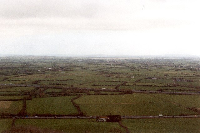
Brent Knoll is a civil parish located in the county of Somerset, England. It is situated on the southern slopes of the Mendip Hills and is approximately 7 miles east of the town of Burnham-on-Sea. The parish covers an area of around 1,500 acres and is bordered by the parishes of East Brent, Lympsham, and Mark.
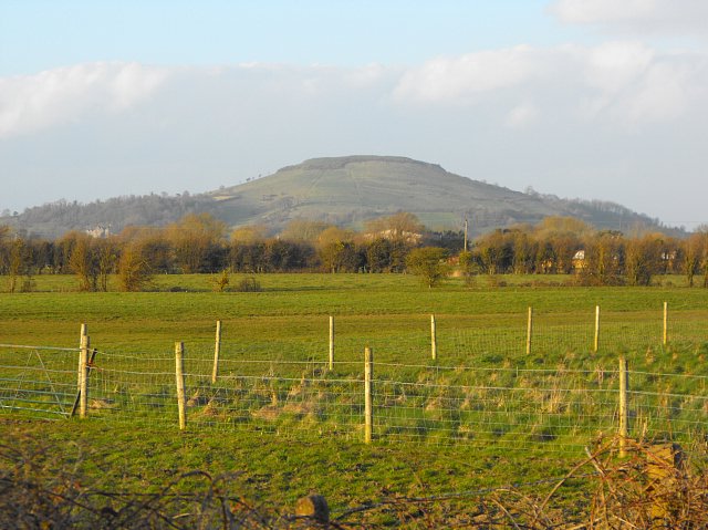
The prominent feature of Brent Knoll is the hill after which it is named. Brent Knoll stands at a height of 449 feet and offers panoramic views of the surrounding countryside. The hill is known for its distinctive shape, resembling a brent goose in flight, and has been designated as a Site of Special Scientific Interest due to its geological and ecological significance.
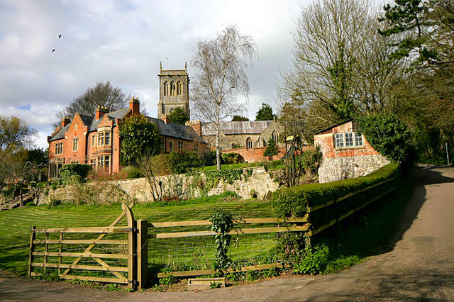
The village itself is small, with a population of around 900 residents. It has a long history, dating back to at least the Roman period. The remains of a Roman villa have been discovered in the area, suggesting a settlement of some importance during that time. The village also has a medieval church, St. Michael's, which dates back to the 13th century.
In terms of amenities, Brent Knoll has a primary school, a village hall, and a pub. The village is well-connected, with good road links to nearby towns and cities, including Bristol and Taunton. It is also a popular destination for walkers and nature enthusiasts, with several footpaths and trails leading up and around the hill.
If you have any feedback on the listing, please let us know in the comments section below.
Brent Knoll Images
Images are sourced within 2km of 51.26242/-2.962949 or Grid Reference ST3251. Thanks to Geograph Open Source API. All images are credited.


Brent Knoll is located at Grid Ref: ST3251 (Lat: 51.26242, Lng: -2.962949)
Administrative County: Somerset
District: Sedgemoor
Police Authority: Avon and Somerset
What 3 Words
///degree.topics.fork. Near Brent Knoll, Somerset
Nearby Locations
Related Wikis
Brent Knoll
Brent Knoll is a 137-metre-high (449 ft) hill on the Somerset Levels, in Somerset, England. It is located roughly halfway between Weston-super-Mare and...

Brent Knoll (village)
Brent Knoll, formerly known as South Brent, is a village and civil parish in Somerset, England, which lies on the southern edge of Brent Knoll – a hill...

Brent Knoll Camp
Brent Knoll Camp is an Iron Age hillfort at Brent Knoll, 3 kilometres (1.9 mi) from Burnham-on-Sea, Somerset, England. It has been designated as a Scheduled...

East Brent
East Brent is a village and civil parish, on the eastern edge of a hill that dominates the surrounding level countryside—Brent Knoll—close to the M5 motorway...
Lympsham
Lympsham is a village and civil parish six miles west of Axbridge and six miles south-east of Weston-super-Mare, close to the River Axe in Somerset, England...

Burnham-on-Sea High Lighthouse
The High lighthouse or pillar lighthouse is one of three lighthouses in Burnham-on-Sea, Somerset, England. A Grade II listed building, it is no longer...

Sedgemoor services
Sedgemoor services is a motorway service station on the M5 motorway near the village of Rooks Bridge in Somerset, England. The location of the services...
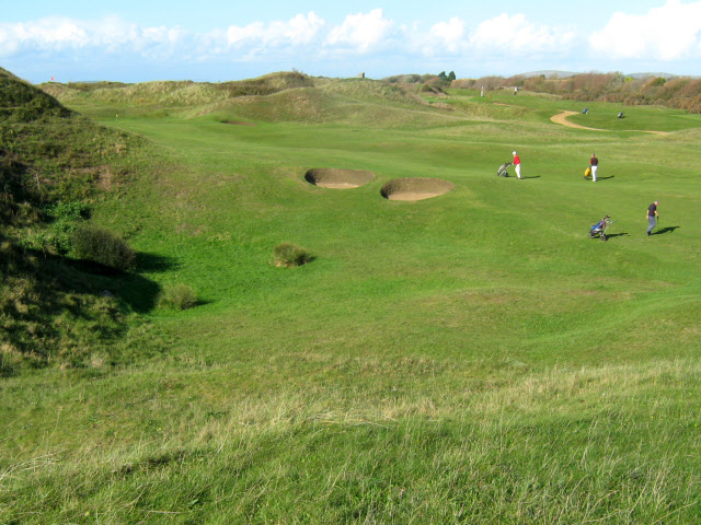
Burnham & Berrow Golf Club
Burnham & Berrow Golf Club is a 27-hole members golf club in Somerset, England which has hosted many of the leading amateur golf tournaments in Britain...
Nearby Amenities
Located within 500m of 51.26242,-2.962949Have you been to Brent Knoll?
Leave your review of Brent Knoll below (or comments, questions and feedback).