Brize Norton
Settlement in Oxfordshire West Oxfordshire
England
Brize Norton
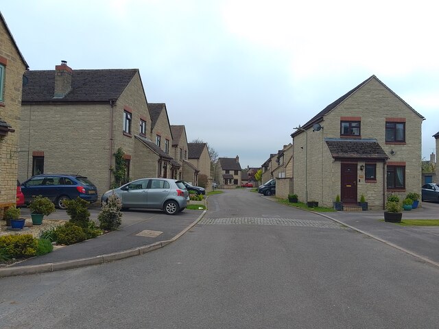
Brize Norton is a village located in Oxfordshire, England. Situated about 20 miles west of Oxford, it lies in the district of West Oxfordshire. The village is known primarily for being the home of the Royal Air Force's largest station: RAF Brize Norton.
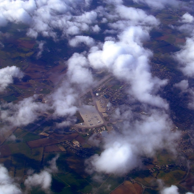
RAF Brize Norton is a major military airbase that serves as the main transport hub for the British Armed Forces. It is also the UK's primary air gateway for military personnel and equipment, as well as a key refueling and maintenance facility. The base has a long history, originally established as a Royal Flying Corps training station during World War I.
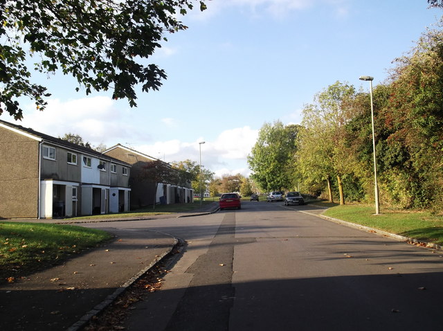
The presence of the airbase has had a significant impact on the village of Brize Norton. Many residents are employed by or have connections to the RAF, making it a vibrant and close-knit community. The village itself offers a range of amenities, including shops, pubs, and a primary school.
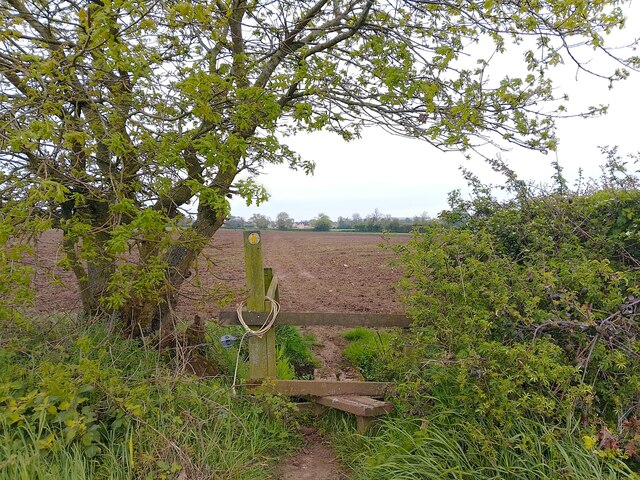
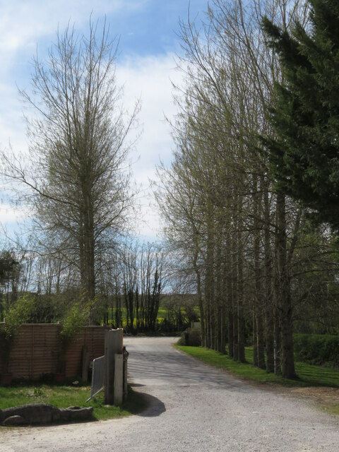
In addition to its military significance, Brize Norton is surrounded by picturesque countryside, making it popular with outdoor enthusiasts. The nearby Cotswolds, an Area of Outstanding Natural Beauty, offer stunning landscapes and charming villages to explore. The village is well-connected, with easy access to major road networks, including the M40 and the A40.
Overall, Brize Norton is a unique village in Oxfordshire, deeply intertwined with its military airbase and offering a blend of rural charm and military heritage.
If you have any feedback on the listing, please let us know in the comments section below.
Brize Norton Images
Images are sourced within 2km of 51.766055/-1.566397 or Grid Reference SP3007. Thanks to Geograph Open Source API. All images are credited.


Brize Norton is located at Grid Ref: SP3007 (Lat: 51.766055, Lng: -1.566397)
Administrative County: Oxfordshire
District: West Oxfordshire
Police Authority: Thames Valley
What 3 Words
///roost.upgrading.lighten. Near Carterton, Oxfordshire
Nearby Locations
Related Wikis

Brize Norton
Brize Norton is a village and civil parish 1 mile (1.6 km) east of Carterton in West Oxfordshire. The 2011 Census recorded the parish population as 938...

Royal Air Force Football Association
The Royal Air Force Football Association, also known as the RAF FA, is the governing body of football within the Royal Air Force. == RAF Challenge Cup... ==
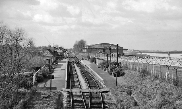
Brize Norton and Bampton railway station
Brize Norton and Bampton railway station was a railway station 1 mile (1.6 km) south of the village of Brize Norton on the Oxford, Witney and Fairford...
Carterton, Oxfordshire
Carterton is a town in West Oxfordshire district in the county of Oxfordshire, England and is 4 miles (6.4 km) south-west of Witney. The 2011 Census recorded...
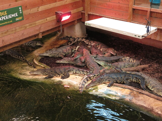
Crocodiles of the World
Crocodiles of the World is a zoo in Brize Norton, Oxfordshire in the United Kingdom specialising in crocodilia. == History == Crocodiles of the world was...

RAF Brize Norton
Royal Air Force Brize Norton or RAF Brize Norton (IATA: BZZ, ICAO: EGVN) in Oxfordshire, about 75 mi (121 km) west north-west of London, is the largest...
Carterton Community College
Carterton Community College is a coeducational secondary school located in Carterton in the English county of Oxfordshire.It is a community school administered...
Carterton F.C.
Carterton Football Club is a football club based in Carterton, Oxfordshire, England. They are currently members of the Oxfordshire Senior League Premier...
Nearby Amenities
Located within 500m of 51.766055,-1.566397Have you been to Brize Norton?
Leave your review of Brize Norton below (or comments, questions and feedback).