Braunstone

Civil Parish in Leicestershire Blaby

England

Braunstone

The Shoemaker in New Parks, Leicester The Shoemakers is a public house on Cokayne Road, in the New Parks area of Leicester. It opened in January 1958.
The Shoemaker in New Parks, Leicester Credit: Mat Fascione

Braunstone is a civil parish located in the county of Leicestershire, England. It is situated approximately 3 miles west of Leicester city center and covers an area of around 4 square miles. The parish is bounded by the River Soar to the east and the M1 motorway to the west.

Braunstone has a rich history, with evidence of human settlement dating back to the Bronze Age. It was mentioned in the Domesday Book of 1086 as a small agricultural village. The area gradually grew in population and developed into a thriving community.

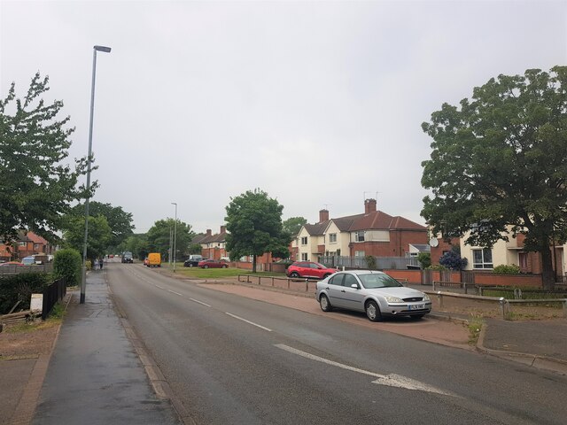
Today, Braunstone is primarily a residential area, consisting of a mix of housing types including council houses, private properties, and social housing. The area is known for its diverse population, with a vibrant multicultural community. There are several schools, parks, and recreational facilities in the area, making it a desirable place to live for families.

Braunstone also has a range of amenities and services, including shops, supermarkets, and healthcare facilities. The parish is well-connected to the rest of Leicester and other nearby towns, with easy access to major roads and public transportation.

Overall, Braunstone is a well-established and diverse civil parish, offering a range of residential options, amenities, and a strong sense of community.

If you have any feedback on the listing, please let us know in the comments section below.
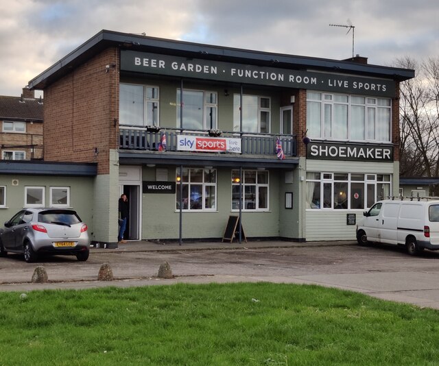
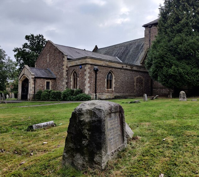
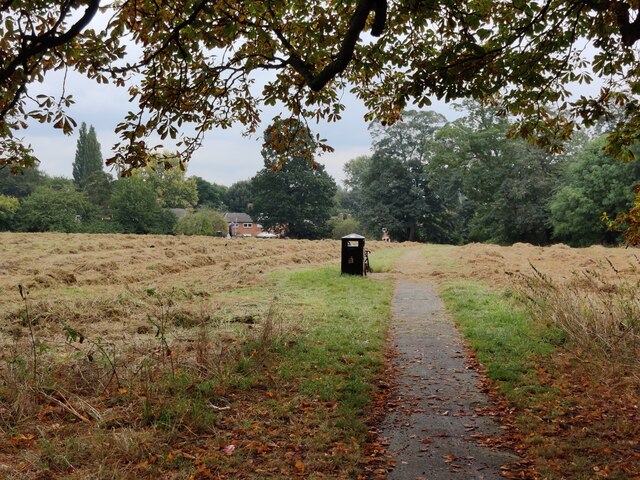
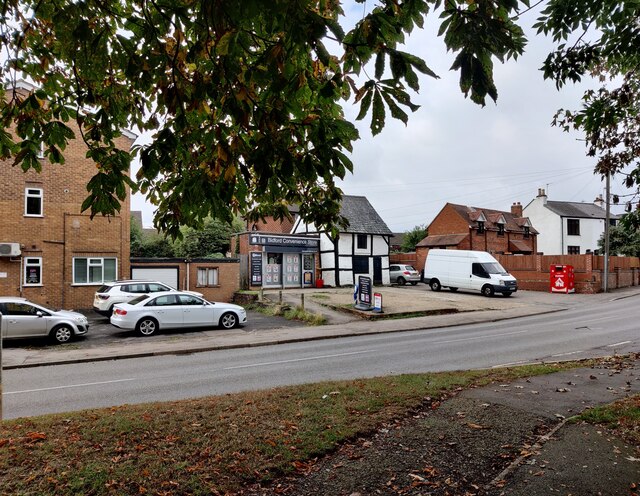
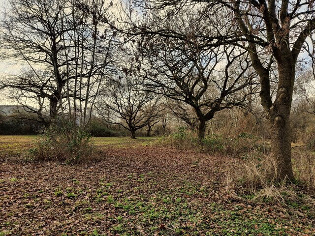
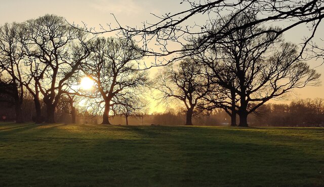
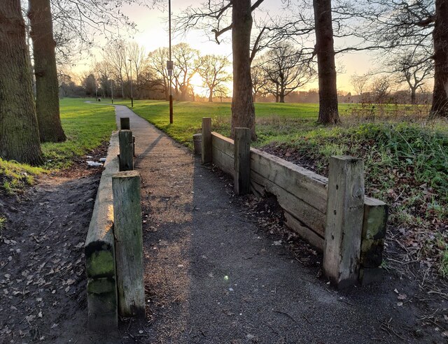
Braunstone Images

Images are sourced within 2km of 52.621505/-1.204113 or Grid Reference SK5302. Thanks to Geograph Open Source API. All images are credited.

The Shoemaker in New Parks, Leicester The Shoemakers is a public house on Cokayne Road, in the New Parks area of Leicester. It opened in January 1958.
The Shoemaker in New Parks, Leicester
The Shoemakers is a public house on Cokayne Road, in the New Parks area of Leicester. It opened in January 1958.
Swans at the Upper Lake (Reservoir), Braunstone Park This flood storage reservoir was constructed in the early 1970's to reduce the risk of flooding from the Braunstone Brook. It is located on the southern edge of Braunstone Park.
Swans at the Upper Lake (Reservoir), Braunstone Park
This flood storage reservoir was constructed in the early 1970's to reduce the risk of flooding from the Braunstone Brook. It is located on the southern edge of Braunstone Park.
St. Peter's Church at Braunstone A church dating back to the 12th century, restored in the 19th century.
St. Peter's Church at Braunstone
A church dating back to the 12th century, restored in the 19th century.
Path through Church Field in Braunstone An area of open public space next to St Peters Church in Braunstone.
Path through Church Field in Braunstone
An area of open public space next to St Peters Church in Braunstone.
Bidford Convenience Store Along Braunstone Lane in the Braunstone suburb of Leicester.
Bidford Convenience Store
Along Braunstone Lane in the Braunstone suburb of Leicester.
New Lubbesthorpe Primary School New Lubbesthorpe is a new 'town' on the south-west edge of the city of Leicester. Proposals were first made in 2008, the plans were approved in 2014, the first homeowners moved in during 2017. When the development is finished it will include 4,250 homes.
This £7 million primary school opened in September 2019.
New Lubbesthorpe Primary School
New Lubbesthorpe is a new 'town' on the south-west edge of the city of Leicester. Proposals were first made in 2008, the plans were approved in 2014, the first homeowners moved in during 2017. When the development is finished it will include 4,250 homes. This £7 million primary school opened in September 2019.
Tay Road in New Lubbesthorpe New Lubbesthorpe is a new 'town' on the south-west edge of the city of Leicester. Proposals were first made in 2008, the plans were approved in 2014, the first homeowners moved in during 2017. When the development is finished it will include 4,250 homes.
The £7 million New Lubbesthorpe Primary School was opened in September 2019.
Tay Road in New Lubbesthorpe
New Lubbesthorpe is a new 'town' on the south-west edge of the city of Leicester. Proposals were first made in 2008, the plans were approved in 2014, the first homeowners moved in during 2017. When the development is finished it will include 4,250 homes. The £7 million New Lubbesthorpe Primary School was opened in September 2019.
Woodland on Cort Crescent
Reed bed at the Mossdale Meadows
Kirby Frith Nature Area Next to Cherry Hills Road in the Kirby Frith area of Leicester.
Kirby Frith Nature Area
Next to Cherry Hills Road in the Kirby Frith area of Leicester.
Winter sunset over Braunstone Park
Path at Braunstone Park This path is next to Gooding Avenue.
Path at Braunstone Park
This path is next to Gooding Avenue.
Winstanley House, Braunstone Park Formerly Braunstone Hall. Listed Grade II, and dated to 1776. Braunstone Park was originally part of Leicester Forest. Owned by the Winstanley family since the 17th century, the park and hall were compulsorily purchased by the city in 1926 as part of the development of Braunstone. The house is currently a boutique hotel and restaurant.
Winstanley House, Braunstone Park
Formerly Braunstone Hall. Listed Grade II, and dated to 1776. Braunstone Park was originally part of Leicester Forest. Owned by the Winstanley family since the 17th century, the park and hall were compulsorily purchased by the city in 1926 as part of the development of Braunstone. The house is currently a boutique hotel and restaurant.
Jubilee bunting on Shakespeare Drive, Braunstone
Collins Close Debris Screen Screening Lubbesthorpe Brook as part of the Environment Agency's flood management
Collins Close Debris Screen
Screening Lubbesthorpe Brook as part of the Environment Agency's flood management
Braunstone Lane, Braunstone Town, Leicester
Londis shop, Sun Way, Braunstone, Leicester Run as franchises; owned by Tescos
Londis shop, Sun Way, Braunstone, Leicester
Run as franchises; owned by Tescos
Table Table restaurant, Hinkley Road, Leicester Fronting a Premier Inn (both owned by the Whitbread Group), and close to the M1.
Table Table restaurant, Hinkley Road, Leicester
Fronting a Premier Inn (both owned by the Whitbread Group), and close to the M1.
Show me another place!

Braunstone is located at Grid Ref: SK5302 (Lat: 52.621505, Lng: -1.204113)

Administrative County: Leicestershire

District: Blaby

Police Authority: Leicestershire

What 3 Words

///solved.resist.hill. Near Kirby Muxloe, Leicestershire

Nearby Locations

Braunstone

Related Wikis

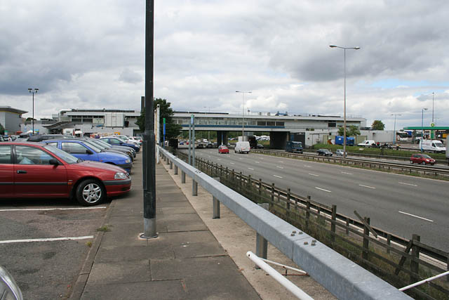
Leicester Forest East MSA

Leicester Forest East services is a motorway service station situated between junctions 21 and 21A of the M1 motorway, near Leicester, England. == History... ==

Thorpe Astley

Thorpe Astley is a suburban settlement on the southwestern edge of the city of Leicester, England. It is part of the civil parish of Braunstone Town, although...

The Winstanley School

The Winstanley School is a coeducational secondary school located in Braunstone in the English county of Leicestershire.The school specialises in sports...

Leicester Forest East

Leicester Forest East (LFE) is a large suburban village in Leicestershire, England, west of Leicester, straddling the M1 motorway. It is part of the Blaby...

Emmanuel Christian School, Leicester

Emmanuel Christian School, Leicester is a small, independent, co-educational Christian school for pupils aged 4–16. Opening in August 2003, it was the...

Kirby Frith Nature Reserve

Kirby Frith is a 2.1-hectare (5.2-acre) Local Nature Reserve on the western outskirts of Leicester. It is owned and managed by Leicester City Council...

Lubbesthorpe

Lubbesthorpe is a hamlet and parish in the district of Blaby within Enderby on the outskirts of Leicester, on the west side of the M1 motorway and the...
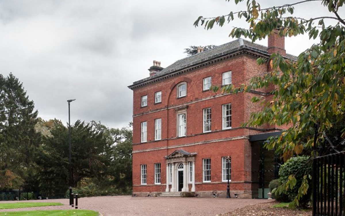
Winstanley House

Winstanley House in Leicestershire previously called Braunstone Hall, is a building of historical significance and is Grade II listed on the English Heritage...

Nearby Amenities

Located within 500m of 52.621505,-1.204113
Phone
Emergency: phone
Type: sos
Lat/Long: 52.6243542/-1.209844
Phone
Check Date: 2022-03-13
Emergency: phone
Type: sos
Lat/Long: 52.6244973/-1.2092379
Phone
Check Date: 2021-08-09
Emergency: phone
Type: sos
Lat/Long: 52.6211274/-1.207658
Phone
Check Date: 2021-08-09
Emergency: phone
Type: sos
Lat/Long: 52.621328/-1.2068423
Barrier: cycle_barrier
Bicycle: yes
Foot: yes
Lat/Long: 52.6222776/-1.2028164
Barrier: fence
Lat/Long: 52.6211794/-1.2108209
Bus Stop
Bromwich Close
Bus: yes
Naptan AtcoCode: 260003283
Naptan Bearing: W
Naptan CommonName: Bromwich Close
Naptan Indicator: adj
Naptan Landmark: Bromwich close
Naptan NaptanCode: leiwtwdt
Naptan Notes: Hourly - County Bus stop on lamp column no 14
Naptan PlusbusZoneRef: LESTER
Naptan Street: Jewsbury Way
Naptan Verified: no
Public Transport: platform
Source: naptan_import
Lat/Long: 52.619975/-1.1978155
Motorway Junction
Exit To: Services
Lat/Long: 52.6218719/-1.2074876
Pharmacy
Thorpe Astley Pharmacy
Healthcare: pharmacy
Lat/Long: 52.6185525/-1.2011559
Fast Food
Beacon Fish Bar
Addr City: Leicester Forest East
Addr Country: GB
Addr Housenumber: 9
Addr Postcode: LE3 3GF
Addr Street: Wardens Walk
Fhrs Authority: Blaby
Fhrs Id: 1201917
Fhrs Local Authority Id: 38123
Lat/Long: 52.6240226/-1.2000198
Fast Food
Burger King
Addr City: Leicester Forest East
Addr Country: GB
Addr Housename: M1 Southbound Service Area
Addr Postcode: LE3 3GB
Addr Street: Baines Lane
Brand: Burger King
Brand Wikidata: Q177054
Brand Wikipedia: en:Burger King
Cuisine: burger
Diet Vegetarian: yes
Fhrs Authority: Blaby
Fhrs Id: 1201874
Fhrs Local Authority Id: 3464
Level: 1
Operator: Burger King
Takeaway: yes
Website: https://locations.burgerking.co.uk/leicester/motorway-service-area-east
Lat/Long: 52.6192682/-1.205391
Fast Food
KFC
Addr City: Leicester Forest East
Addr Country: GB
Addr Housename: M1 Northbound Service Area
Addr Postcode: LE3 3GB
Addr Street: Baines Lane
Alt Name: Kentucky Fried Chicken
Brand: KFC
Brand Wikidata: Q524757
Brand Wikipedia: en:KFC
Contact Website: https://www.kfc.co.uk/kfc-near-me/leicester-forest-east-m1-services
Cuisine: chicken
Drive Through: no
Fhrs Id: 1201842
Level: 1
Operator: KFC
Takeaway: yes
Lat/Long: 52.6191866/-1.2053778
Restaurant
EAT IN
Level: 1
Operator: Welcome Break
Lat/Long: 52.6190368/-1.2061381
Cafe
Starbucks
Addr City: Leicester Forest East
Addr Country: GB
Addr Housename: M1 Southbound Service Area
Addr Postcode: LE3 3GB
Addr Street: Baines Lane
Brand: Starbucks
Brand Wikidata: Q37158
Brand Wikipedia: en:Starbucks
Cuisine: coffee_shop
Fhrs Authority: Blaby
Fhrs Id: 1201925
Fhrs Local Authority Id: 38328
Level: 1
Official Name: Starbucks Coffee
Operator: Welcome Break
Takeaway: yes
Website: https://www.starbucks.com/store-locator/store/1013258/leicester-forest-m-1-north-dt-leicester-forest-east-m-1-leicester-eng-le-3-3-gb-
Lat/Long: 52.6192727/-1.2051813
Barrier: bollard
Bollard: rising
Lat/Long: 52.6207154/-1.2056843
Police
Lat/Long: 52.6192657/-1.2078922
Waitrose
Addr City: Leicester Forest East
Addr Country: GB
Addr Housename: M1 Northbound Service Area
Addr Postcode: LE3 3GB
Addr Street: Baines Lane
Brand: Waitrose
Brand Wikidata: Q771734
Brand Wikipedia: en:Waitrose
Fhrs Authority: Blaby
Fhrs Id: 1201915
Fhrs Local Authority Id: 37832
Level: 0
Official Name: Waitrose & Partners
Operator: Waitrose & Partners
Shop: convenience
Website: https://www.waitrose.com/find-a-store/leicester-forest-east-north-services
Lat/Long: 52.6189451/-1.2063976
WHSmith
Addr City: Leicester Forest East
Addr Country: GB
Addr Housename: M1 Southbound Service Area
Addr Postcode: LE3 3GB
Addr Street: Baines Lane
Brand: WHSmith
Brand Wikidata: Q1548712
Brand Wikipedia: en:WHSmith
Fhrs Authority: Blaby
Fhrs Id: 1201936
Fhrs Local Authority Id: 39150
Level: 0
Operator: WHSmith
Shop: newsagent
Lat/Long: 52.6193178/-1.2049485
Toilets
Motorway Services
Changing Table: yes
Fee: no
Female: yes
Level: 0
Male: yes
Wheelchair: yes
Lat/Long: 52.6189415/-1.2061199
Toilets
Motorway Services
Changing Table: yes
Female: yes
Level: 0
Male: yes
Shower: yes
Wheelchair: yes
Lat/Long: 52.6193792/-1.2050816
Barrier: cycle_barrier
Lat/Long: 52.6212496/-1.2024588
Barrier: kissing_gate
Foot: yes
Lat/Long: 52.6180203/-1.2082823
Barrier: kissing_gate
Foot: yes
Lat/Long: 52.617295/-1.2052389
Barrier: kissing_gate
Foot: yes
Lat/Long: 52.6180294/-1.2083804
Entrance: yes
Lat/Long: 52.6188566/-1.2063013
Entrance: yes
Lat/Long: 52.6194075/-1.2049663
Fuel
Shell
Addr Postcode: LE3 3GB
Brand: Shell
Brand Wikidata: Q110716465
Contact Website: https://find.shell.com/gb/fuel/12573632-leicester-forest-east-north
Opening Hours: 24/7
Phone: +44 1908 299700
Ref Navads: NVDS353_12573632
Lat/Long: 52.6192214/-1.2069781
Fuel
Shell
Addr Postcode: LE3 3GB
Brand: Shell
Brand Wikidata: Q110716465
Contact Website: https://find.shell.com/gb/fuel/12573634-leicester-forest-east-south-bound
Opening Hours: 24/7
Phone: +44 116 239 0528
Ref Navads: NVDS353_12573634
Lat/Long: 52.6191309/-1.204536
Cafe
Starbucks
Addr City: Leicester Forest East
Addr Country: GB
Addr Housename: M1 Northbound Service Area
Addr Postcode: LE3 3GB
Addr Street: Baines Lane
Brand: Starbucks
Brand Wikidata: Q37158
Brand Wikipedia: en:Starbucks
Cuisine: coffee_shop
Fhrs Authority: Blaby
Fhrs Id: 1201992
Fhrs Local Authority Id: 42127
Level: 1
Official Name: Starbucks Coffee
Operator: Welcome Break
Takeaway: yes
Website: https://www.starbucks.com/store-locator/store/1023416/leicester-forest-m-1-south-dt-c-o-welcome-break-leicester-forest-east-eng-le-3-3
Lat/Long: 52.6190901/-1.2061351
WHSmith
Addr City: Leicester Forest East
Addr Country: GB
Addr Housename: M1 Northbound Service Area
Addr Postcode: LE3 3GB
Addr Street: Baines Lane
Brand: WHSmith
Brand Wikidata: Q1548712
Brand Wikipedia: en:WHSmith
Fhrs Authority: Blaby
Fhrs Id: 1201934
Fhrs Local Authority Id: 38976
Level: 0
Operator: WHSmith
Shop: newsagent
Lat/Long: 52.6189571/-1.2062539
Traffic Calming: table
Lat/Long: 52.6195774/-1.209732
Bench
Lat/Long: 52.6194289/-1.2029078
Bench
Lat/Long: 52.6198614/-1.2031569
Bench
Lat/Long: 52.621015/-1.2025629
Bench
Lat/Long: 52.6197255/-1.2016287
Bench
Lat/Long: 52.6235379/-1.2006657
Information: board
Tourism: information
Lat/Long: 52.6197955/-1.1993305
Information: board
Tourism: information
Lat/Long: 52.6188156/-1.2014202
Traffic Calming: table
Lat/Long: 52.6207364/-1.2110904
Charging Station
Capacity: 4
Check Date: 2019-09-16
Note Capacity: 2 additional parking spaces, unclear (to non-user) what equipment next to these 2 spaces is for
Operator: Gridserve
Operator Wikidata: Q89575318
Lat/Long: 52.6195333/-1.2055088
Generator Method: photovoltaic
Generator Output Electricity: yes
Generator Source: solar
Generator Type: solar_photovoltaic_panel
Location: rii
Power: generator
Lat/Long: 52.6224249/-1.1971211
Generator Method: photovoltaic
Generator Output Electricity: yes
Generator Source: solar
Generator Type: solar_photovoltaic_panel
Location: rii
Power: generator
Lat/Long: 52.6222735/-1.1978828
Generator Method: photovoltaic
Generator Output Electricity: yes
Generator Source: solar
Generator Type: solar_photovoltaic_panel
Location: rii
Power: generator
Lat/Long: 52.6218957/-1.198202
Generator Method: photovoltaic
Generator Output Electricity: yes
Generator Source: solar
Generator Type: solar_photovoltaic_panel
Location: rii
Power: generator
Lat/Long: 52.6218934/-1.1994224
Generator Method: photovoltaic
Generator Output Electricity: yes
Generator Source: solar
Generator Type: solar_photovoltaic_panel
Location: rii
Power: generator
Lat/Long: 52.6210343/-1.1990348
Tanning Zone
Shop: beauty
Lat/Long: 52.6240631/-1.2002134
Andy Kims Movie Zone
Addr City: Leicester Forest East
Addr Country: GB
Addr Housenumber: 11
Addr Postcode: LE3 3GF
Addr Street: Wardens Walk
Fhrs Authority: Blaby
Fhrs Id: 1201581
Fhrs Local Authority Id: 2022
Shop: video
Lat/Long: 52.6240337/-1.2001169
Decisions
Shop: hairdresser
Lat/Long: 52.6240109/-1.1999479
J C Mini Market
Addr City: Leicester Forest East
Addr Country: GB
Addr Housenumber: 5
Addr Postcode: LE3 3GF
Addr Street: Wardens Walk
Fhrs Authority: Blaby
Fhrs Id: 1202155
Fhrs Local Authority Id: 48419
Shop: newsagent
Lat/Long: 52.6240061/-1.1998192
Fast Food
China City
Addr City: Leicester Forest East
Addr Country: GB
Addr Housenumber: 3
Addr Postcode: LE3 3GF
Addr Street: Wardens Walk
Fhrs Authority: Blaby
Fhrs Id: 1201910
Fhrs Local Authority Id: 37315
Lat/Long: 52.6239914/-1.1997119
The Spa Fairy
Addr City: Leicester Forest East
Addr Country: GB
Addr Housenumber: 1
Addr Postcode: LE3 3GF
Addr Street: Wardens Walk
Fhrs Authority: Blaby
Fhrs Id: 1201858
Fhrs Local Authority Id: 33611
Shop: beauty
Lat/Long: 52.62398/-1.1996019
Noexit: yes
Lat/Long: 52.6180598/-1.2005373
Noexit: yes
Lat/Long: 52.6180728/-1.2004153
The data included in this document is from www.openstreetmap.org. The data is made available under ODbL.

Have you been to Braunstone?

Leave your review of Braunstone below (or comments, questions and feedback).