Brassington

Civil Parish in Derbyshire Derbyshire Dales

England

Brassington

Ruined sheepfold This old sheepfold is marked on the 1880 Ordnance Survey map but is now in ruins.
Ruined sheepfold Credit: Ian Calderwood

Brassington is a civil parish located in the Derbyshire Dales district of Derbyshire, England. It is situated on the southern edge of the Peak District National Park, approximately 8 miles north of Ashbourne and 4 miles southwest of Wirksworth. The parish covers an area of around 8 square miles and has a population of around 500 residents.

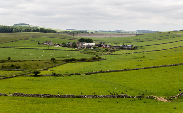
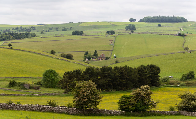
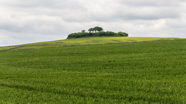
The village of Brassington is nestled in the beautiful countryside, surrounded by rolling hills and picturesque landscapes. It is known for its charming limestone buildings, many of which date back to the 17th and 18th centuries. The village has a rich mining heritage, with lead mining being the primary industry in the area during the 18th and 19th centuries.

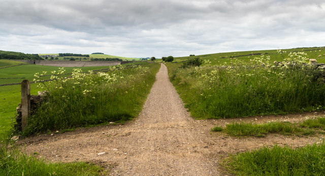
Today, Brassington is a quiet and peaceful village, with a close-knit community. It offers a range of amenities for its residents, including a village shop, a primary school, a church, and a pub. The village is also a popular destination for tourists and outdoor enthusiasts, with numerous walking and cycling routes in the surrounding countryside.

Brassington is well-connected to nearby towns and cities, with regular bus services and good road links. The nearby towns of Ashbourne and Wirksworth offer a wider range of amenities, including shops, supermarkets, and leisure facilities.

Overall, Brassington is a charming and picturesque village in the heart of Derbyshire, offering a tranquil countryside setting and a strong sense of community.

If you have any feedback on the listing, please let us know in the comments section below.
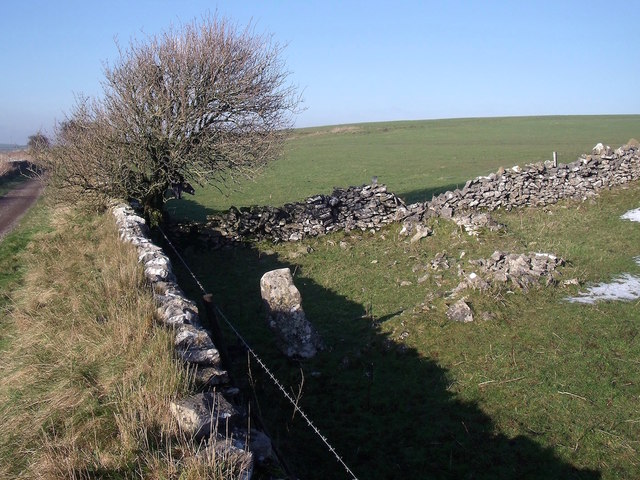
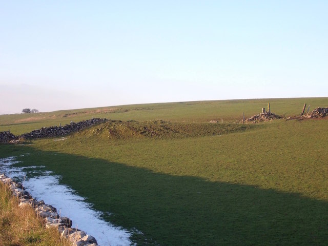
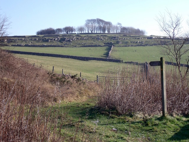
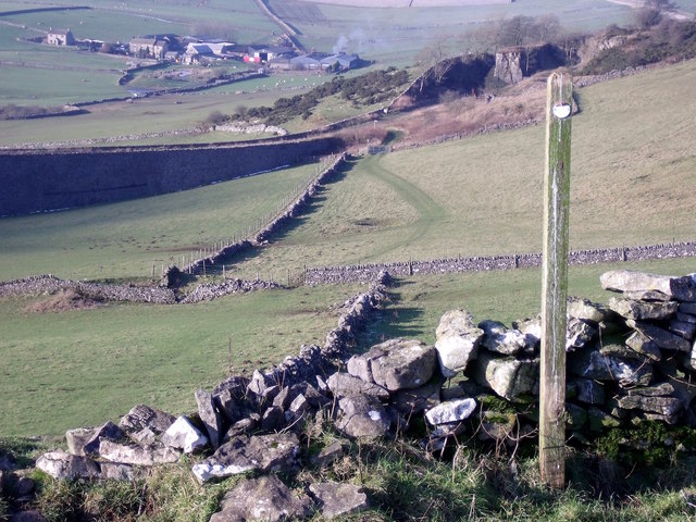
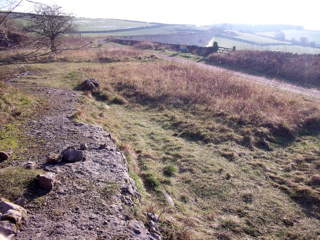
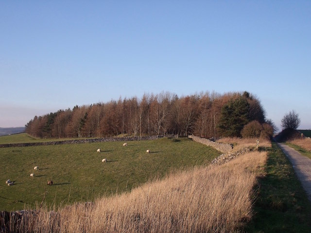
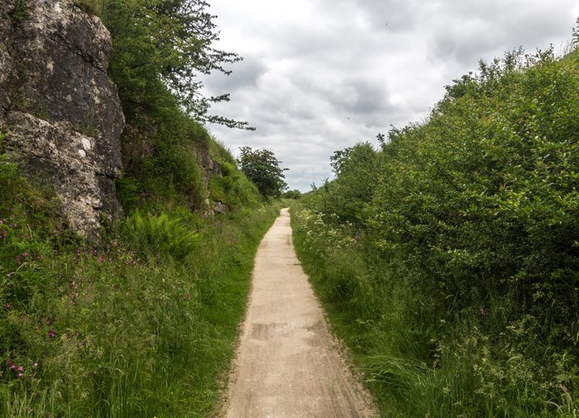
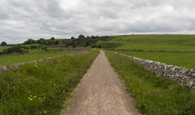
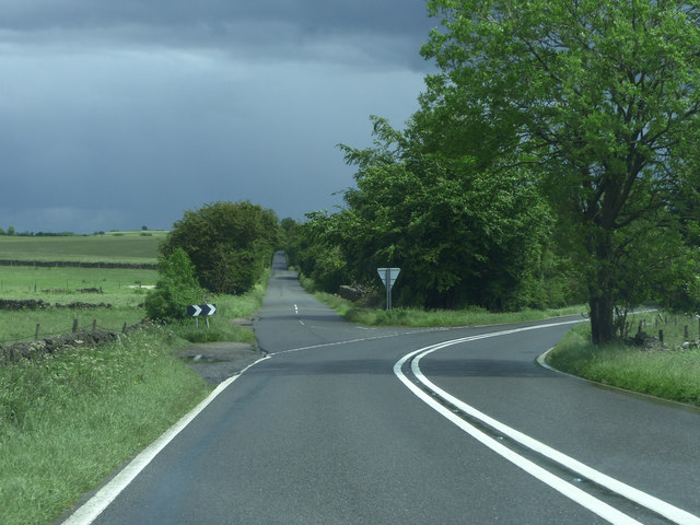
Brassington Images

Images are sourced within 2km of 53.125918/-1.699349 or Grid Reference SK2058. Thanks to Geograph Open Source API. All images are credited.

Ruined sheepfold This old sheepfold is marked on the 1880 Ordnance Survey map but is now in ruins.
Ruined sheepfold
This old sheepfold is marked on the 1880 Ordnance Survey map but is now in ruins.
Dew pond and old quarry The quarry is in the background, in the next field.
Dew pond and old quarry
The quarry is in the background, in the next field.
Minninglow Concession Route There is no public footpath to the top of Minninglow but this concession route allows access for walkers.
Minninglow Concession Route
There is no public footpath to the top of Minninglow but this concession route allows access for walkers.
Minninglow Concession Route from above Looking back down the concession route up Minninglow Hill to the High Peak Trail. There is no public footpath to the top of Minninglow but this concession path provides access for walkers.
Minninglow Concession Route from above
Looking back down the concession route up Minninglow Hill to the High Peak Trail. There is no public footpath to the top of Minninglow but this concession path provides access for walkers.
Minninglow Quarry siding The rails left in-situ can still be seen peeping through the turf on the line of the former quarry siding off the Cromford & High Peak Railway.
Minninglow Quarry siding
The rails left in-situ can still be seen peeping through the turf on the line of the former quarry siding off the Cromford & High Peak Railway.
The former Royston Grange Quarries The diagonal wall in the foreground shows the line of the railway that lead into the quarries.
The former Royston Grange Quarries
The diagonal wall in the foreground shows the line of the railway that lead into the quarries.
High Peak Trail The High Peak Trail near Roystone Grange Quarries.
High Peak Trail
The High Peak Trail near Roystone Grange Quarries.
High Peak Trail The High Peak Trail near Minninglow Quarry.
High Peak Trail
The High Peak Trail near Minninglow Quarry.
Minninglow Grange View of Minninglow Grange Farm.
Minninglow Grange
View of Minninglow Grange Farm.
Minninglow View from the High Peak Trail.
Minninglow
View from the High Peak Trail.
Minninglow Hill
Minninglow Hill
High Peak Trail The High Peak Trail.
High Peak Trail
The High Peak Trail.
Old road below Minninglow This embankment by a wall in a field used to be the main road from Manchester to Derby. It is thought to have begun as a prehistoric trackway and was certainly part of the Roman road from Mamucium (Manchester) to Derventio (Derby). It remained in use into the 19th century, when better roads, such as the turnpike through Ashbourne, made it redundant.
Old road below Minninglow
This embankment by a wall in a field used to be the main road from Manchester to Derby. It is thought to have begun as a prehistoric trackway and was certainly part of the Roman road from Mamucium (Manchester) to Derventio (Derby). It remained in use into the 19th century, when better roads, such as the turnpike through Ashbourne, made it redundant.
Junction A5012
Junction A5012
Cattle grazing south of the A5012 The farm complex to the right is Grange Barn. It has a sign on the gate to confirm this fact. OS mapping incorrectly indicates that it is two hundred metres further east.
Cattle grazing south of the A5012
The farm complex to the right is Grange Barn. It has a sign on the gate to confirm this fact. OS mapping incorrectly indicates that it is two hundred metres further east.
Pasture above Minninglow Grange Farm Seen from The High Peak Trail
Pasture above Minninglow Grange Farm
Seen from The High Peak Trail
A Derbyshire Cow Behind her - one of the limestone railway embankments built in the 1820's to carry the Cromford and High Peak Railway - now a leisure path.
A Derbyshire Cow
Behind her - one of the limestone railway embankments built in the 1820's to carry the Cromford and High Peak Railway - now a leisure path.
Abandoned quarrying machinery At the now disused Minninglow limestone quarry adjacent to The High Peak Trail.
Abandoned quarrying machinery
At the now disused Minninglow limestone quarry adjacent to The High Peak Trail.
Show me another place!

Brassington is located at Grid Ref: SK2058 (Lat: 53.125918, Lng: -1.699349)

Administrative County: Derbyshire

District: Derbyshire Dales

Police Authority: Derbyshire

What 3 Words

///speaking.trousers.satin. Near Newhaven, Derbyshire

Nearby Locations

Brassington

Related Wikis

Pikehall

Pikehall is a small village in the Derbyshire Dales consisting of a few dozen households and a handful of farms. The population of the village is included...

Gotham Curve

The Gotham Curve was once the sharpest curve on any standard gauge railway line in the UK. The curve, which was situated in the sparsely populated, exposed...
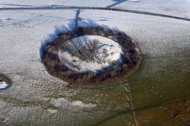
Minninglow

Minninglow (or Minning Low) is a hill in the Peak District National Park in Derbyshire, located within the White Peak area at grid reference SK209573....

Long Dale

Long Dale is a carboniferous limestone valley near the village of Elton, Derbyshire, in the Peak District of England. The dale is cut into the plateau...

Gratton, Derbyshire

Gratton is a civil parish in the Derbyshire Dales district of central Derbyshire, half a mile west of the neighbouring village, Elton. == See also... ==

Dale End, Derbyshire

Dale End is a hamlet in Derbyshire, England to the west of Elton. == References ==

Elton, Derbyshire

Elton is a village and civil parish in the Derbyshire Dales district of Derbyshire, England, and lies within the Peak District. Its nearest towns are Bakewell...

High Peak Trail

The High Peak Trail is a 17-mile (27 km) trail for walkers, cyclists and horse riders in the Peak District of England. Running from Dowlow (53.2059°N 1...

Nearby Amenities

Located within 500m of 53.125918,-1.699349
The data included in this document is from www.openstreetmap.org. The data is made available under ODbL.

Have you been to Brassington?

Leave your review of Brassington below (or comments, questions and feedback).