Bransford
Civil Parish in Worcestershire Malvern Hills
England
Bransford
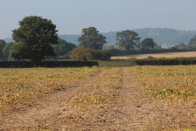
Bransford is a small civil parish located in the county of Worcestershire, England. Situated just 5 miles northwest of the city of Worcester, it covers an area of approximately 2 square miles. The parish is surrounded by beautiful countryside, with the River Teme running through its western boundary.
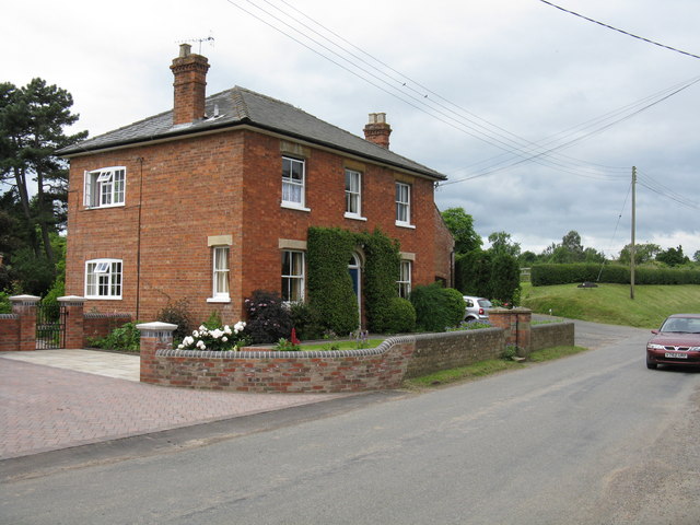
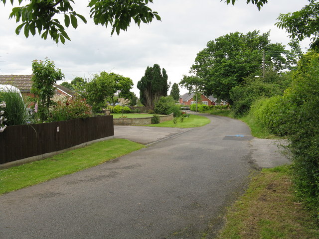
The village of Bransford itself is a charming settlement with a population of around 600 residents. It is predominantly a residential area, with a mix of traditional cottages and newer housing developments. The parish also includes a number of farms and agricultural land, contributing to the rural character of the area.
Despite its small size, Bransford offers a range of amenities for its residents. There is a primary school, providing education for local children, as well as a community hall that hosts various events and activities throughout the year. The parish is also home to a church, St. John the Baptist, which dates back to the 12th century and adds historical significance to the area.
Bransford benefits from its proximity to Worcester, which provides access to further amenities and services. The city offers a wide range of shops, restaurants, and entertainment options, as well as excellent transportation links. The M5 motorway is easily accessible, connecting Bransford to other major cities in the region.
Overall, Bransford is a peaceful and picturesque civil parish that provides a rural lifestyle while offering convenient access to nearby urban centers. Its natural beauty and community spirit make it an attractive place to live for those seeking a quieter, countryside setting.
If you have any feedback on the listing, please let us know in the comments section below.
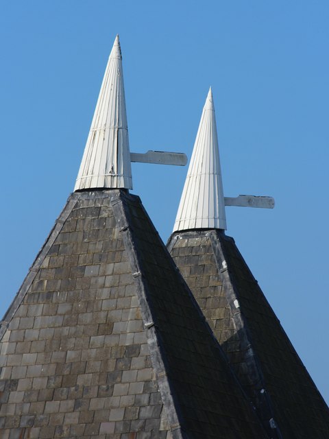
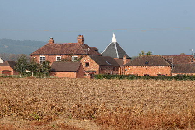
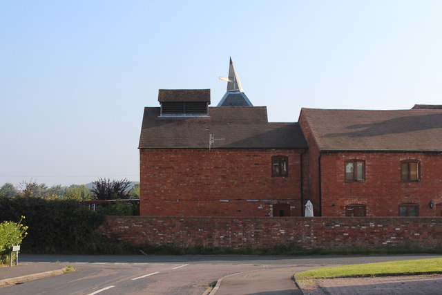
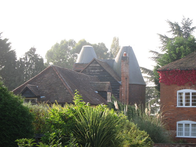
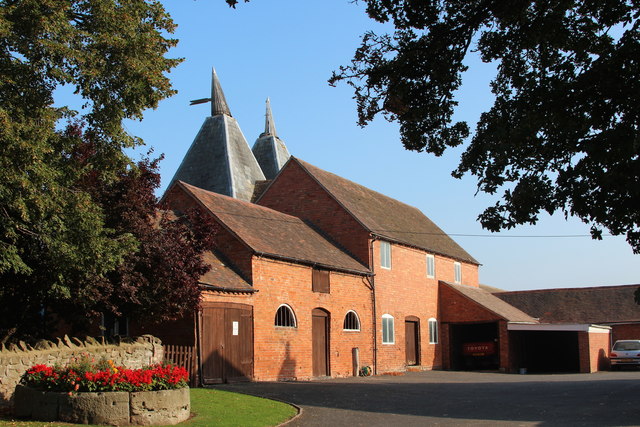
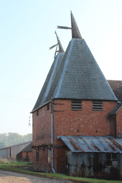
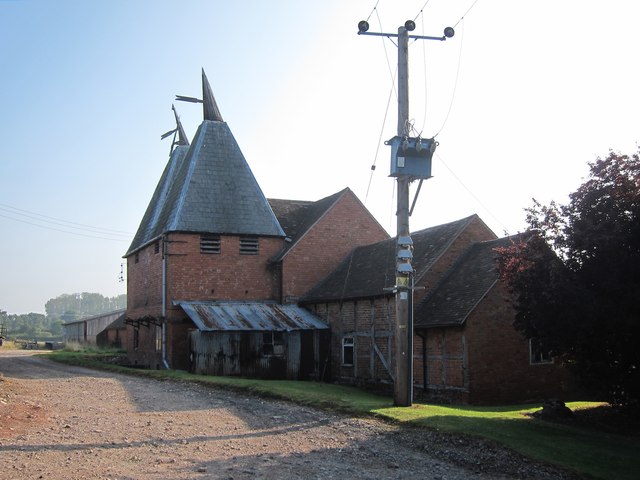
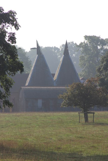
Bransford Images
Images are sourced within 2km of 52.164162/-2.299224 or Grid Reference SO7951. Thanks to Geograph Open Source API. All images are credited.


Bransford is located at Grid Ref: SO7951 (Lat: 52.164162, Lng: -2.299224)
Administrative County: Worcestershire
District: Malvern Hills
Police Authority: West Mercia
What 3 Words
///movies.flamingo.file. Near Lower Broadheath, Worcestershire
Nearby Locations
Related Wikis
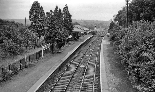
Bransford Road railway station
Bransford Road railway station was a station in Bransford, Worcestershire, England. The station was opened in 1860 and closed on 5 April 1965. The original...

Bransford
Bransford is a village and civil parish in the Malvern Hills district of the county of Worcestershire, England. It is situated close to the River Teme...

Leigh and Bransford
Leigh and Bransford are two separate civil parishes in the district of Malvern Hills of the county of Worcestershire, England, with a single parish council...

West Worcestershire (UK Parliament constituency)
West Worcestershire is a constituency in Worcestershire represented in the House of Commons of the UK Parliament since 2010 by Harriett Baldwin, a Conservative...

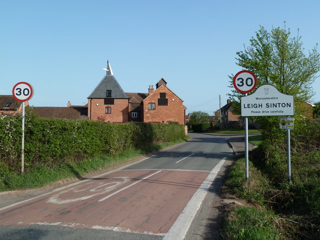
Leigh Sinton
Leigh Sinton is a village in the Malvern Hills district of the county of Worcestershire, England, and one of the constituent places of the civil parish...
Newland Halt railway station
Newland Halt railway station was a station in Newland, Worcestershire, England. The station was opened on 18 March 1929 and closed on 5 April 1965. �...
Leigh, Worcestershire
Leigh is a village and civil parish (with a parish council shared with Bransford) in the Malvern Hills district of the county of Worcestershire, England...
Bowling Green, Worcestershire
Bowling Green is a village in Worcestershire, England.
Nearby Amenities
Located within 500m of 52.164162,-2.299224Have you been to Bransford?
Leave your review of Bransford below (or comments, questions and feedback).