Brandon and Byshottles

Civil Parish in Durham

England

Brandon and Byshottles

Deerness Valley Railway Path beyond Holburn Bridge The railway path heading east as it passes Esh Winning and also Holburn Bridge which is a footway over the River Deerness; the rails of its parapets just show at the right side of the image.
Deerness Valley Railway Path beyond Holburn Bridge Credit: Trevor Littlewood

Brandon and Byshottles is a civil parish located in County Durham, England. The parish is situated approximately 3 miles southwest of Durham city centre and covers an area of around 3.5 square miles. With a population of around 6,000 residents, Brandon and Byshottles is a relatively small but vibrant community.

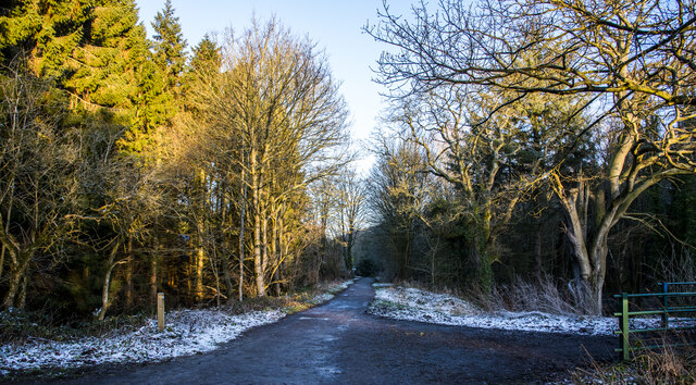
The parish is made up of the villages of Brandon, New Brancepeth, Ushaw Moor, and Meadowfield, as well as the surrounding rural areas. Brandon and Byshottles has a rich history, with evidence of human settlement dating back to Roman times. The area is known for its picturesque countryside, with rolling hills and scenic views.

In terms of amenities, Brandon and Byshottles has a range of shops, schools, and leisure facilities to cater to the needs of its residents. The parish is well-connected by road, with easy access to the nearby cities of Durham and Newcastle. Overall, Brandon and Byshottles offers a peaceful and close-knit community for its residents to enjoy.

If you have any feedback on the listing, please let us know in the comments section below.

Brandon and Byshottles Images

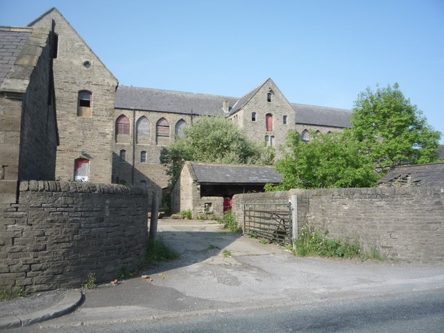
Images are sourced within 2km of 54.770882/-1.667322 or Grid Reference NZ2141. Thanks to Geograph Open Source API. All images are credited.

Deerness Valley Railway Path beyond Holburn Bridge The railway path heading east as it passes Esh Winning and also Holburn Bridge which is a footway over the River Deerness; the rails of its parapets just show at the right side of the image.
Deerness Valley Railway Path beyond Holburn Bridge
The railway path heading east as it passes Esh Winning and also Holburn Bridge which is a footway over the River Deerness; the rails of its parapets just show at the right side of the image.
Lone tree on snowed slope The tree is a hawthorn; it stands alone on a roughly vegetated slope which descends to the Deerness valley at Esh Winning. The track rising to pass the tree appears to be an alternative route used by walkers avoiding a more awkward, overgrown public footpath nearby.
Lone tree on snowed slope
The tree is a hawthorn; it stands alone on a roughly vegetated slope which descends to the Deerness valley at Esh Winning. The track rising to pass the tree appears to be an alternative route used by walkers avoiding a more awkward, overgrown public footpath nearby.
Field in valley of River Deerness East of Esh Winning there's new housing alongside the B6302; this image was recorded at the east end of the houses and shows the view out beyond a field, over the Deerness Valley to woodland on its south side.
Field in valley of River Deerness
East of Esh Winning there's new housing alongside the B6302; this image was recorded at the east end of the houses and shows the view out beyond a field, over the Deerness Valley to woodland on its south side.
Deerness Valley Railway Path at Esh Winning This path, one of many railway paths in County Durham, follows the line of an old railway from Durham to Crook. The railway was opened in 1858, closed to passengers in 1951 and finally closed in 1964. Here the path deviates slightly from the track of the railway to cross the River Deerness. It recrosses the river a short way further west.
Deerness Valley Railway Path at Esh Winning
This path, one of many railway paths in County Durham, follows the line of an old railway from Durham to Crook. The railway was opened in 1858, closed to passengers in 1951 and finally closed in 1964. Here the path deviates slightly from the track of the railway to cross the River Deerness. It recrosses the river a short way further west.
Deerness Valley Railway Path at Esh Winning This path, one of many railway paths in County Durham, follows the line of an old railway from Durham to Crook. The railway was opened in 1858, closed to passengers in 1951 and finally closed in 1964. Here the path deviates slightly from the track of the railway to cross the River Deerness. There is another crossing of the river a short way further east.
Deerness Valley Railway Path at Esh Winning
This path, one of many railway paths in County Durham, follows the line of an old railway from Durham to Crook. The railway was opened in 1858, closed to passengers in 1951 and finally closed in 1964. Here the path deviates slightly from the track of the railway to cross the River Deerness. There is another crossing of the river a short way further east.
Holburn Bridge, Esh Winning A footbridge over the River Deerness, south of the village.
Holburn Bridge, Esh Winning
A footbridge over the River Deerness, south of the village.
Field edge with Farhill Plantation The fields and trees are on the northern slope of the valley of the River Deerness and have the large villages of Esh Winning, Ushaw Moor and Langley Park surrounding them.
Field edge with Farhill Plantation
The fields and trees are on the northern slope of the valley of the River Deerness and have the large villages of Esh Winning, Ushaw Moor and Langley Park surrounding them.
Elizabeth II postbox on Cockhouse Lane, Ushaw Moor Postbox No. DH7 219.

See <a href="https://www.geograph.org.uk/photo/4985270">NZ2142 : Close up, Elizabeth II postbox on Cockhouse Lane, Ushaw Moor</a> for close up.

See <a href="https://www.geograph.org.uk/photo/4985271">NZ2142 : Cockhouse Lane, Ushaw Moor (B6302)</a> for context.
Elizabeth II postbox on Cockhouse Lane, Ushaw Moor
Close up, Elizabeth II postbox on Cockhouse Lane, Ushaw Moor Postbox No. DH7 219.

See <a href="https://www.geograph.org.uk/photo/4985269">NZ2142 : Elizabeth II postbox on Cockhouse Lane, Ushaw Moor</a> for wider view.
Close up, Elizabeth II postbox on Cockhouse Lane, Ushaw Moor
Postbox No. DH7 219. See NZ2142 : Elizabeth II postbox on Cockhouse Lane, Ushaw Moor for wider view.
Cockhouse Lane, Ushaw Moor (B6302) Looking east showing position of Postbox No. DH7 219.

See <a href="https://www.geograph.org.uk/photo/4985269">NZ2142 : Elizabeth II postbox on Cockhouse Lane, Ushaw Moor</a> for postbox.
Cockhouse Lane, Ushaw Moor (B6302)
Looking east showing position of Postbox No. DH7 219. See NZ2142 : Elizabeth II postbox on Cockhouse Lane, Ushaw Moor for postbox.
Woodland road near Ushaw Farm Looking south east.
Woodland road near Ushaw Farm
Looking south east.
Ushaw Farm
Ushaw Farm
Crop field and hedgerow West of Broadgate Road.
Crop field and hedgerow
West of Broadgate Road.
Broadgate Road Heading south west.
Broadgate Road
Heading south west.
Field towards woodland Off Cockhouse Lane.
Field towards woodland
Off Cockhouse Lane.
Cockhouse Lane (B6302) Heading east.
Cockhouse Lane (B6302)
Heading east.
Houses on Cockhouse Lane
Farm track (footpath) off Cockhouse Lane Looking south.
Farm track (footpath) off Cockhouse Lane
Looking south.
Show me another place!

Brandon and Byshottles is located at Grid Ref: NZ2141 (Lat: 54.770882, Lng: -1.667322)

Unitary Authority: County Durham

Police Authority: Durham

What 3 Words

///escapades.pouch.heats. Near Ushaw Moor, Co. Durham

Related Wikis

New Brancepeth

New Brancepeth is a village in County Durham, in England. It is about 3 miles (5 km) west of the centre of Durham, above the River Deerness. Its population...

Brandon and Byshottles

Brandon and Byshottles is a civil parish and electoral ward in County Durham, England. According to the 2001 census it had a population of 17,774 increasing...

Ushaw Moor railway station

Ushaw Moor railway station, was a station on the Deerness Valley Railway, south of the village of Ushaw Moor in County Durham, was opened on 1 September...

Ushaw Moor

Ushaw Moor is an old pit village in County Durham, in England, on the north side of the River Deerness. It is situated to the west of Durham, a short distance...

Nearby Amenities

Located within 500m of 54.770882,-1.667322
Power: pole
Transformer: distribution
Lat/Long: 54.7751014/-1.6685472
Power: pole
Lat/Long: 54.7718927/-1.6698615
Power: pole
Lat/Long: 54.7727715/-1.6702116
Power: pole
Lat/Long: 54.7736093/-1.6705361
Power: pole
Lat/Long: 54.7745019/-1.670913
The data included in this document is from www.openstreetmap.org. The data is made available under ODbL.

Have you been to Brandon and Byshottles?

Leave your review of Brandon and Byshottles below (or comments, questions and feedback).