Brandon
Civil Parish in Suffolk West Suffolk
England
Brandon

Brandon is a civil parish located in Suffolk, England. It is situated in the Breckland district and lies approximately 10 miles northwest of Thetford. The town is bordered by the River Little Ouse to the north, which forms the boundary between Suffolk and Norfolk.
With a population of around 9,500 people, Brandon is a vibrant and bustling community. The town has a rich history, dating back to Roman times when it was an important settlement known as "Iceni Village." It later became a significant center for flint knapping during the Neolithic period.
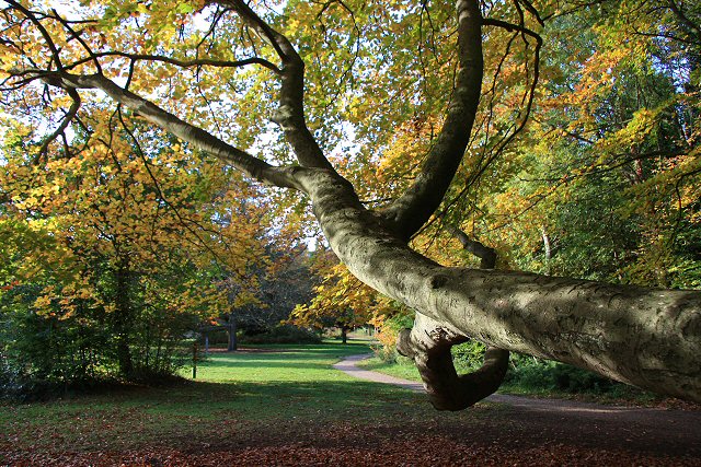
Today, Brandon is known for its beautiful natural surroundings, including the nearby Thetford Forest. The forest offers a range of recreational activities, such as walking, cycling, and wildlife spotting. Additionally, the town is home to several parks and green spaces, providing residents and visitors with ample opportunities to enjoy the outdoors.
Brandon has a good range of amenities and services, including shops, supermarkets, schools, and healthcare facilities. The town also benefits from excellent transport links, with the A1065 and A134 roads passing through, connecting it to nearby towns and cities.
The community spirit in Brandon is evident through its various local events and organizations. The town hosts an annual carnival and several festivals throughout the year, bringing residents together. There are also numerous clubs and societies catering to different interests, ensuring there is something for everyone.
Overall, Brandon, Suffolk, offers a charming mix of history, natural beauty, and community spirit, making it an appealing place to live or visit.
If you have any feedback on the listing, please let us know in the comments section below.
Brandon Images
Images are sourced within 2km of 52.427552/0.600268 or Grid Reference TL7684. Thanks to Geograph Open Source API. All images are credited.


Brandon is located at Grid Ref: TL7684 (Lat: 52.427552, Lng: 0.600268)
Administrative County: Suffolk
District: West Suffolk
Police Authority: Suffolk
What 3 Words
///paddock.greed.latitudes. Near Weeting, Norfolk
Nearby Locations
Related Wikis
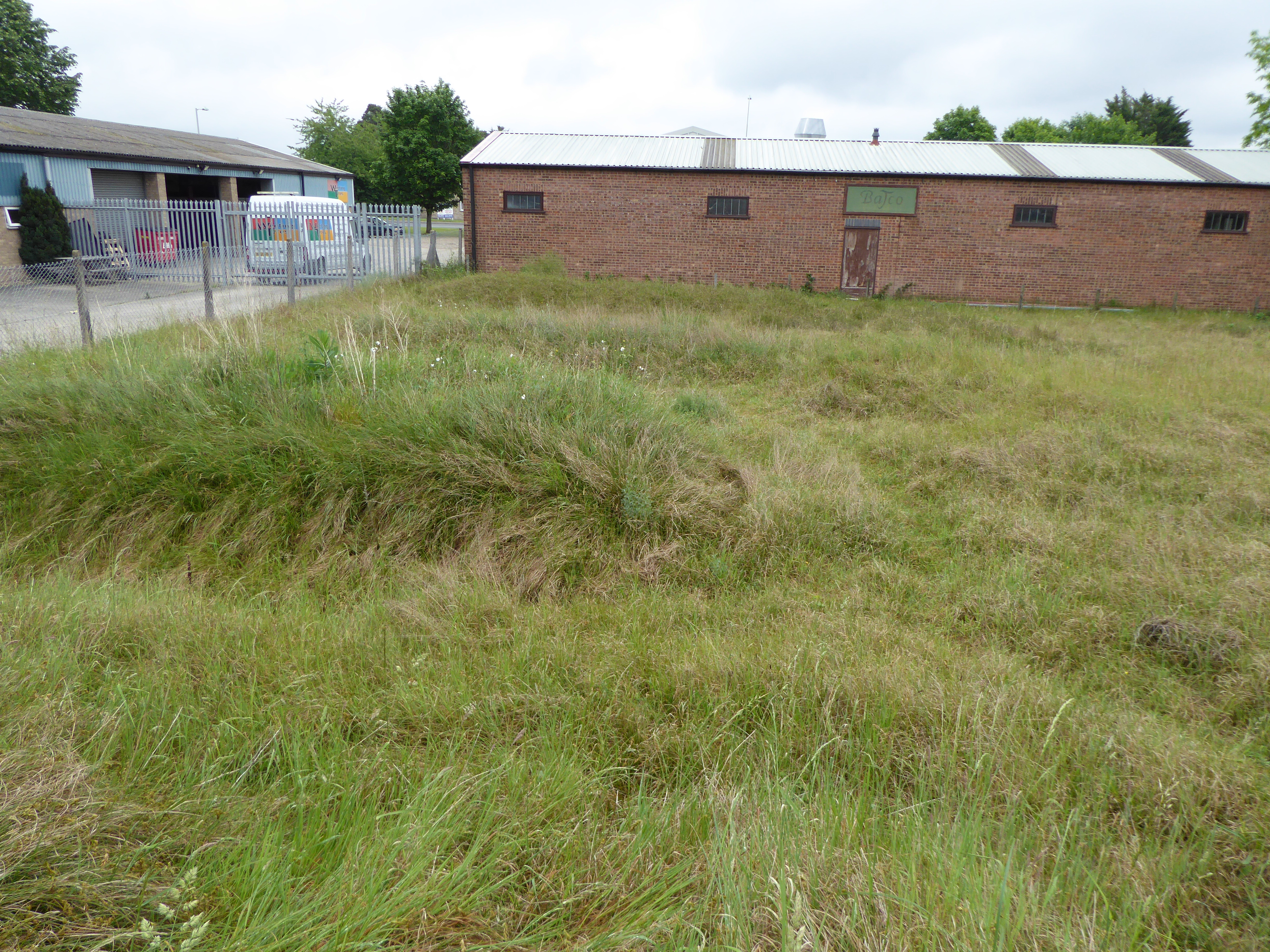
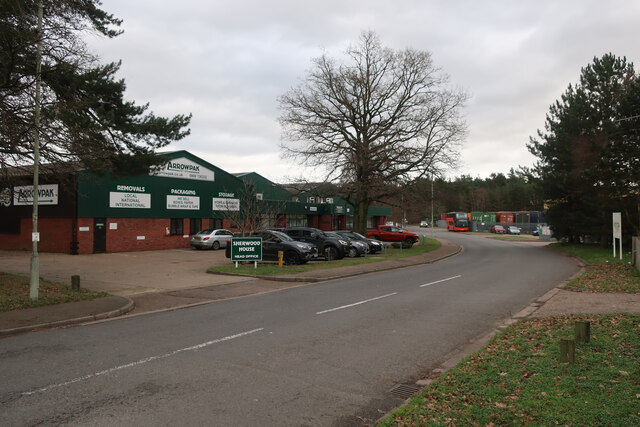
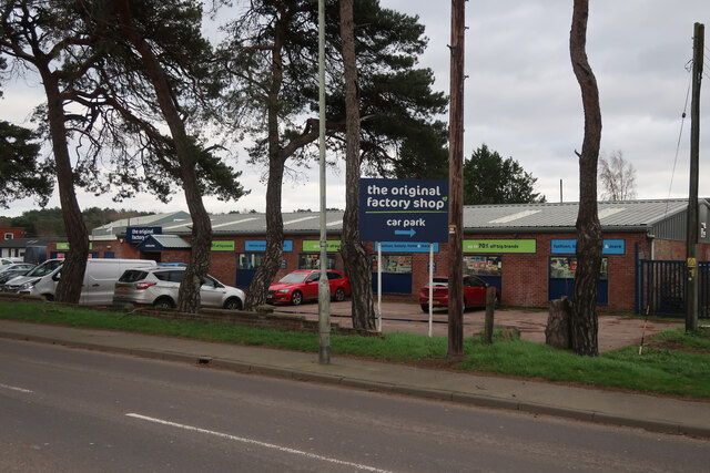
London Road Industrial Estate, Brandon
London Road Industrial Estate, Brandon is a 0.1-hectare (0.25-acre) biological Site of Special Scientific Interest (SSSI) in Brandon in Suffolk.This very...

Wangford Warren and Carr
Wangford Warren and Carr is a 67.8-hectare (168-acre) biological Site of Special Scientific Interest between Brandon and Lakenheath in Suffolk. It is...
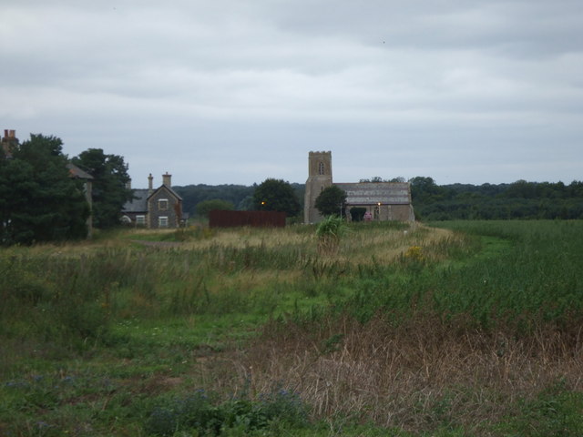
Brandon Country Park
Brandon Country Park is a country park in Brandon, Suffolk, England. == History == In 1820 Edward Bliss bought Brandon Park house and grounds using wealth...
Wangford, West Suffolk
Wangford is a village and former civil parish, now in the parish of Brandon, in the West Suffolk district of the English county of Suffolk. The RAF Lakenheath...

Brandon, Suffolk
Brandon is a town and civil parish in the English county of Suffolk. Brandon is located in the Breckland area of Suffolk, close to the adjoining county...

Breckland Farmland
Breckland Farmland is a 13,392.4 hectare biological Site of Special Scientific Interest (SSSI) in many separate areas between Swaffham in Norfolk and Bury...

Brandon railway station
Brandon railway station is on the Breckland Line in the East of England, serving the town of Brandon, Suffolk, although the station is actually situated...

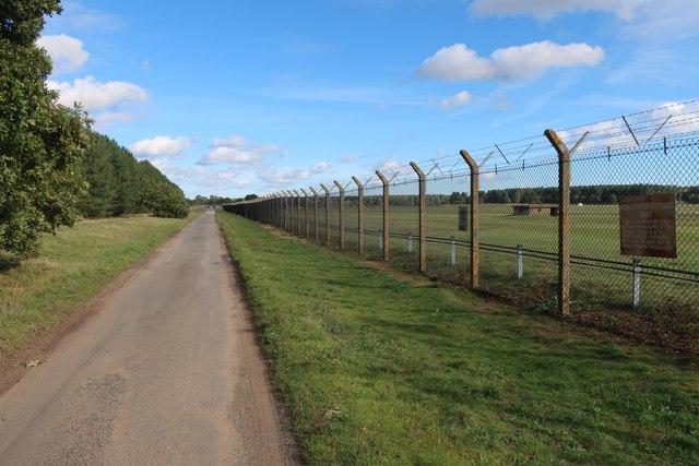
RAF Lakenheath SSSI
RAF Lakenheath is a 111 hectare biological Site of Special Scientific Interest covering parts of RAF Lakenheath Royal Air Force base, east of Lakenheath...
Nearby Amenities
Located within 500m of 52.427552,0.600268Have you been to Brandon?
Leave your review of Brandon below (or comments, questions and feedback).