Brailsford

Civil Parish in Derbyshire Derbyshire Dales

England

Brailsford

Brailsford Methodist Church, Derbyshire
Brailsford Methodist Church, Derbyshire Credit: Alf Beard

Brailsford is a civil parish located in the county of Derbyshire, England. Situated approximately 5 miles northwest of the city of Derby, it is nestled within the picturesque countryside of the Derbyshire Dales. The parish covers an area of about 4.5 square miles and has a population of around 800 residents.

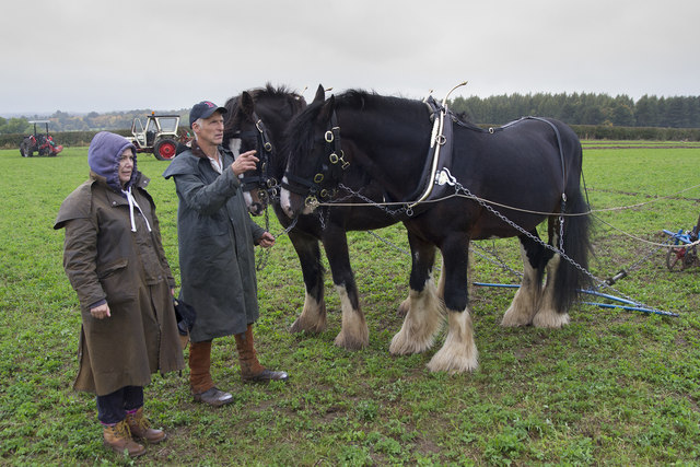
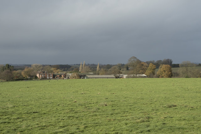
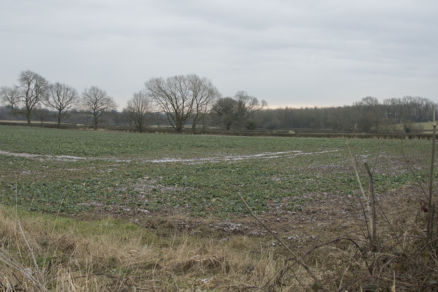
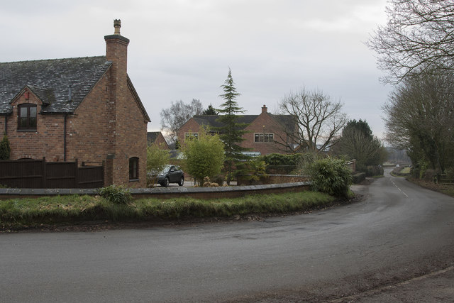
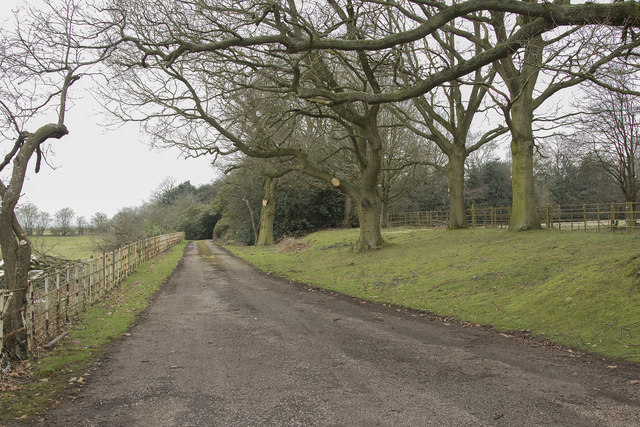
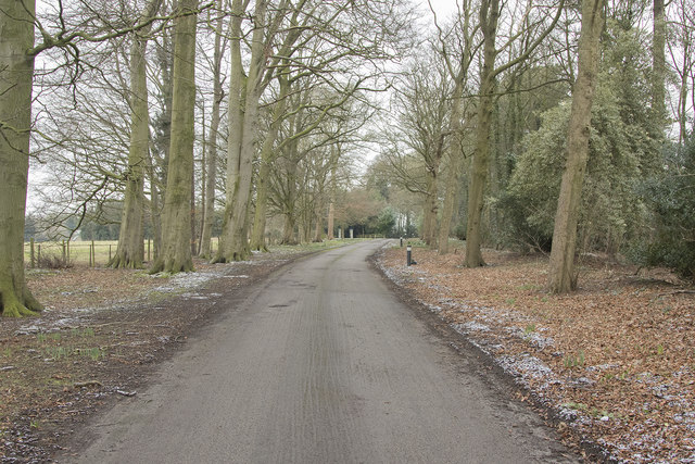
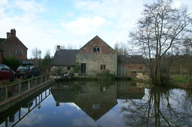
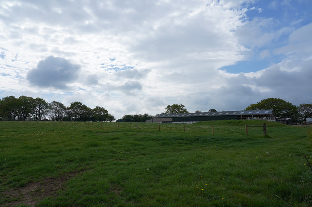
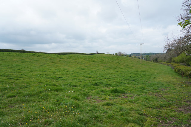
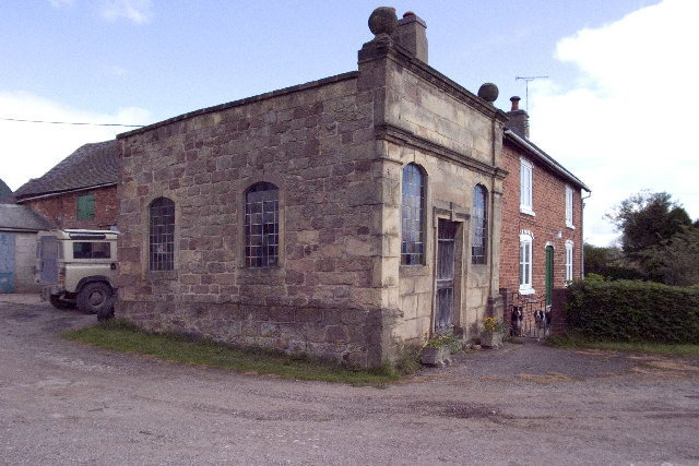
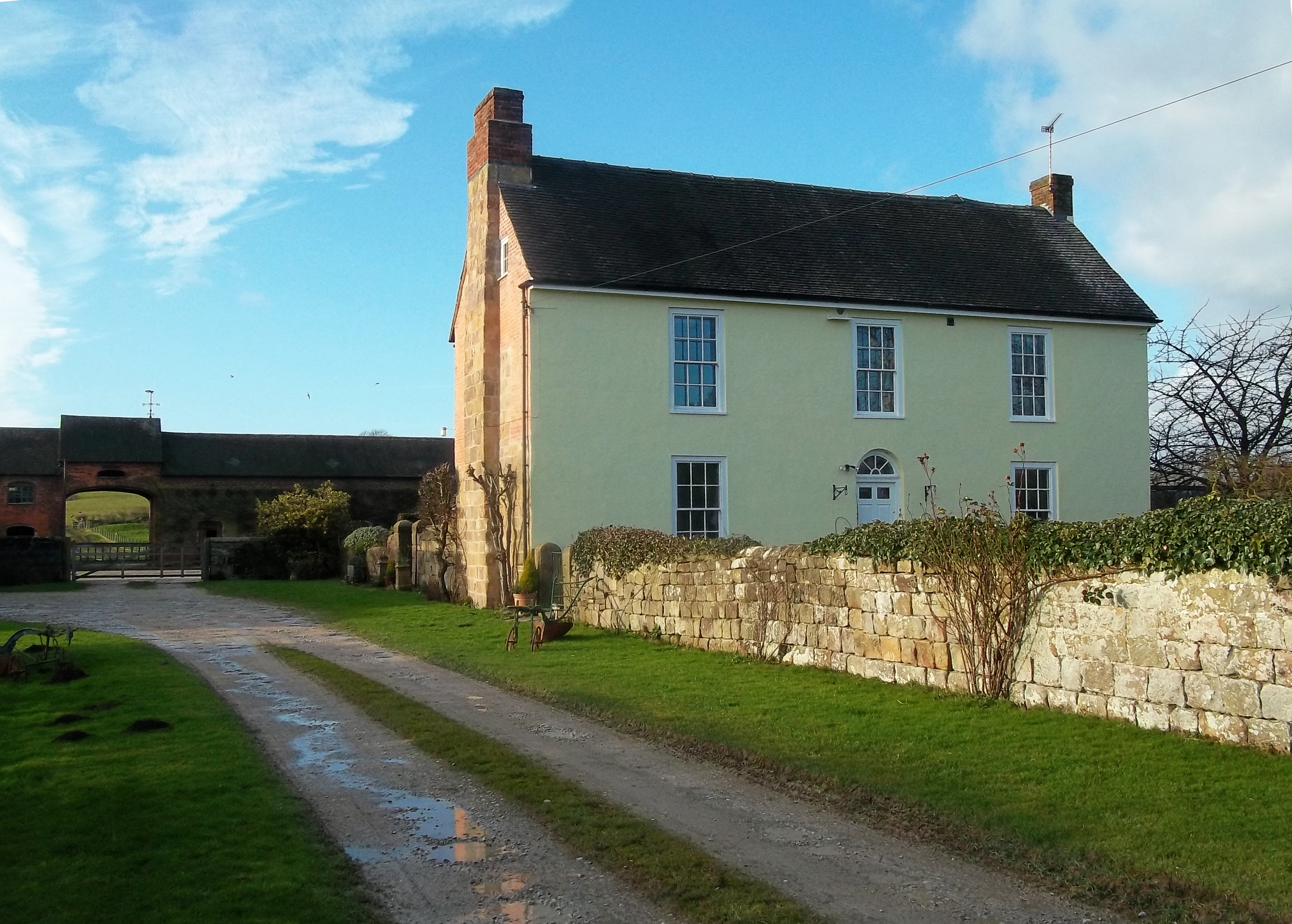
The village of Brailsford itself is a charming and quintessentially English settlement, known for its traditional stone buildings and idyllic rural setting. It is surrounded by vast farmlands and rolling hills, offering breathtaking views of the Peak District National Park in the distance.

Brailsford is home to a range of amenities and facilities, including a primary school, a village hall, a post office, and a local pub. The village hosts various community events throughout the year, fostering a strong sense of community and camaraderie among its residents.

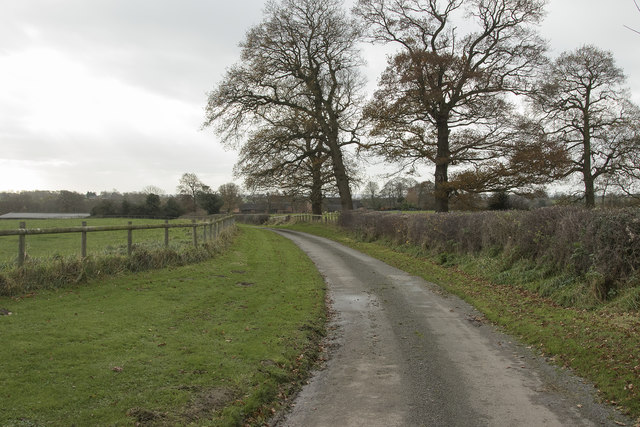
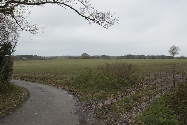
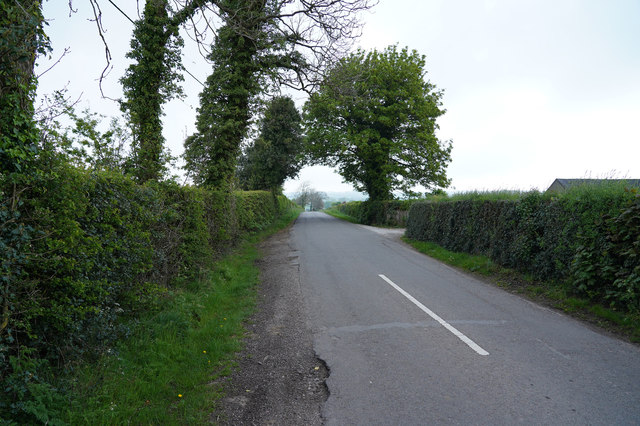
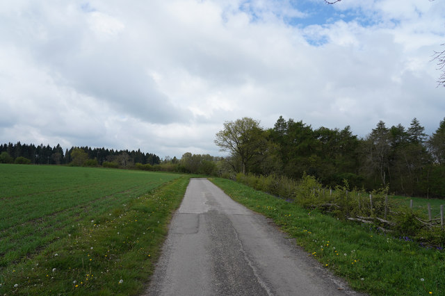
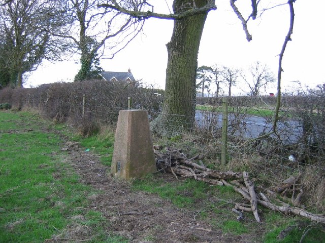
For outdoor enthusiasts, Brailsford offers plenty of opportunities for walking, cycling, and exploring the countryside. The area boasts numerous footpaths and bridleways that crisscross the landscape, allowing visitors to immerse themselves in the natural beauty of the area.

With its tranquil atmosphere, charming architecture, and stunning surroundings, Brailsford is a popular destination for those seeking a peaceful retreat or a taste of rural England. Whether strolling along the village lanes, enjoying a pint at the local pub, or simply taking in the breathtaking views, Brailsford offers a slice of English countryside charm.

If you have any feedback on the listing, please let us know in the comments section below.

Brailsford Images

Images are sourced within 2km of 52.971536/-1.632146 or Grid Reference SK2441. Thanks to Geograph Open Source API. All images are credited.

Brailsford Methodist Church, Derbyshire
Brailsford Ploughing Match This ploughing match and country fair has been going for many years. though called the Brailsford match it actually takes place at different farms around the area and is often a long way from the village of Brailsford.  This year however it was very close to Brailsford.
Brailsford Ploughing Match
This ploughing match and country fair has been going for many years. though called the Brailsford match it actually takes place at different farms around the area and is often a long way from the village of Brailsford. This year however it was very close to Brailsford.
A storm is threatened The morning about an hour before was bright and sunny but very windy. The wind brought in these very dark and threatening clouds over the fields at Pools Head.
A storm is threatened
The morning about an hour before was bright and sunny but very windy. The wind brought in these very dark and threatening clouds over the fields at Pools Head.
Farm track The farm track leads to Churchfields Farm near Brailsford.
Farm track
The farm track leads to Churchfields Farm near Brailsford.
Near Brailsford Green Brailsford Green just outside the small village of Brailsford.
Near Brailsford Green
Brailsford Green just outside the small village of Brailsford.
The Plain Brailsford A small group of houses on a road simply called the Plain. It is in Brailsford and will soon be in the village even more as there is a proposal to build a lot more houses.
The Plain Brailsford
A small group of houses on a road simply called the Plain. It is in Brailsford and will soon be in the village even more as there is a proposal to build a lot more houses.
Grazing sheep A truly rural scene with sheep grazing on what I think, for them, is rather long and lush grass.
Grazing sheep
A truly rural scene with sheep grazing on what I think, for them, is rather long and lush grass.
Slow growth in winter The crops in the field look quite poor, but then they are heavily frosted and never at their best at this time of the year.
Slow growth in winter
The crops in the field look quite poor, but then they are heavily frosted and never at their best at this time of the year.
The edge of Ednaston Fairly modern detached houses on the edge of Ednaston. The entrance to Ednaston Hall is behind and to the right of the camera position.
The edge of Ednaston
Fairly modern detached houses on the edge of Ednaston. The entrance to Ednaston Hall is behind and to the right of the camera position.
Ednaston Hall drive Quite a lot of work has been carried out to the trees lining the drive as many large branches had been cut off.
Ednaston Hall drive
Quite a lot of work has been carried out to the trees lining the drive as many large branches had been cut off.
Looking towards St. Mary's Nursing home This is the tree lined drive to St. Mary's Nursing Home. It is a quiet and peaceful place.
Looking towards St. Mary's Nursing home
This is the tree lined drive to St. Mary's Nursing Home. It is a quiet and peaceful place.
Brailsford Mill Converted water mill at Brailsford, viewed across the mill pond.
Brailsford Mill
Converted water mill at Brailsford, viewed across the mill pond.
A lane by Fiddlers Folly Just outside the village of Brailsford is this minor road through the countryside which goes to nowhere inparticular.
A lane by Fiddlers Folly
Just outside the village of Brailsford is this minor road through the countryside which goes to nowhere inparticular.
An interesting wall The brick wall in the middle distance is not straight but has two distinct curves. Whether this to act as a sun trap I do not know but it does face roughly SE.
An interesting wall
The brick wall in the middle distance is not straight but has two distinct curves. Whether this to act as a sun trap I do not know but it does face roughly SE.
Distant farm buildings The farm buildings are being extended at the right hand end of the low building in the middle right of the image.
Distant farm buildings
The farm buildings are being extended at the right hand end of the low building in the middle right of the image.
The track to Bradley Oldpark South The good surface seen here soon deteriorates as it goes towards Bradley Oldpark South.
The track to Bradley Oldpark South
The good surface seen here soon deteriorates as it goes towards Bradley Oldpark South.
A public footpath Not a much used footpath judging from the lack of an obvious route under the low voltage electricity cables.
A public footpath
Not a much used footpath judging from the lack of an obvious route under the low voltage electricity cables.
Trig pillar, Brailsford. Just outside the village under an ash tree. The hedges around here are home to quite a few ashes.
Trig pillar, Brailsford.
Just outside the village under an ash tree. The hedges around here are home to quite a few ashes.
Show me another place!

Brailsford is located at Grid Ref: SK2441 (Lat: 52.971536, Lng: -1.632146)

Administrative County: Derbyshire

District: Derbyshire Dales

Police Authority: Derbyshire

What 3 Words

///hinders.earlobes.charts. Near Ashbourne, Derbyshire

Nearby Locations

Commonside Brailsford

Related Wikis

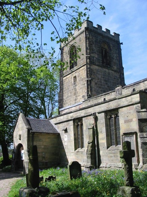
All Saints' Church, Brailsford

All Saints’ Church, Brailsford is a Grade I listed parish church in the Church of England in Brailsford, Derbyshire. == History == The church dates from...

Brailsford

Brailsford (52°58′16″N 1°37′26″W) is a small red-brick village and civil parish in Derbyshire on the A52 midway between Derby and Ashbourne. The parish...

Ednaston Manor

Ednaston Manor is a country house in Ednaston, near Brailsford, Derbyshire, England. It was built in 1912–19 in a Queen Anne style by Edwin Lutyens, for...

Mercaston

Mercaston is a hamlet in Derbyshire, England. It is located in the Peak District 7 miles west of Duffield. It is in the civil parish of Hulland Ward. In...

Hollington, Derbyshire

Hollington is a village and civil parish near the town of Uttoxeter and 5.5 miles (8.9 km) from the city of Derby, in the English county of Derbyshire...

Shirley, Derbyshire

Shirley is a small village and civil parish in Derbyshire, 4 miles (6 km) south-east of Ashbourne. The population of the civil parish as taken at the 2011...

St Michael's Church, Shirley

St Michael's Church, Shirley is a Grade II* listed parish church in the Church of England: 318  in Shirley, Derbyshire. == History == The church dates...

Mercaston Hall

Mercaston Hall is a 16th-century timber framed farmhouse within the hamlet of Mercaston, near the market town of Ashbourne, Derbyshire, England. It is...

Nearby Amenities

Located within 500m of 52.971536,-1.632146
Barrier: stile
Steps: 2
Stile: stepover
Lat/Long: 52.9704318/-1.6255012
Bus Stop
Mill Lane
Bench: no
Bin: no
Public Transport: platform
Shelter: no
Lat/Long: 52.9738617/-1.6384824
Bus Stop
Mill Lane
Bench: no
Bin: no
Public Transport: platform
Shelter: no
Lat/Long: 52.9738082/-1.6379322
Bus Stop
Chapel House
Bench: no
Bin: no
Naptan AtcoCode: 1000DBMR5641
Naptan NaptanCode: dbsagmwj
Public Transport: platform
Shelter: no
Lat/Long: 52.9736315/-1.6328249
Bus Stop
Chapel House
Bench: no
Bin: no
Naptan AtcoCode: 1000DBMR5640
Naptan NaptanCode: dbsagmwg
Public Transport: platform
Shelter: no
Lat/Long: 52.9734777/-1.6325161
Bus Stop
The White Cottage
Naptan AtcoCode: 1000DBMR5638
Naptan NaptanCode: dbsagmwa
Public Transport: platform
Lat/Long: 52.9721116/-1.6277522
Bus Stop
The White Cottage
Naptan AtcoCode: 1000DBMR5639
Naptan NaptanCode: dbsagmwd
Public Transport: platform
Lat/Long: 52.9723216/-1.6285703
The data included in this document is from www.openstreetmap.org. The data is made available under ODbL.

Have you been to Brailsford?

Leave your review of Brailsford below (or comments, questions and feedback).