Brafferton
Civil Parish in Durham
England
Brafferton
Brafferton is a civil parish located in the county of Durham, England. Situated in the northern part of the county, it lies approximately 5 miles southwest of the city of Durham. The parish is part of the district of County Durham and is bordered by the parishes of Aycliffe Village, Heighington, and Great Stainton.
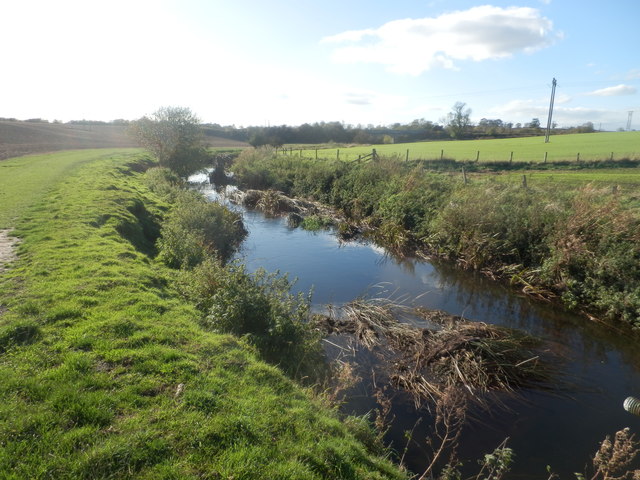
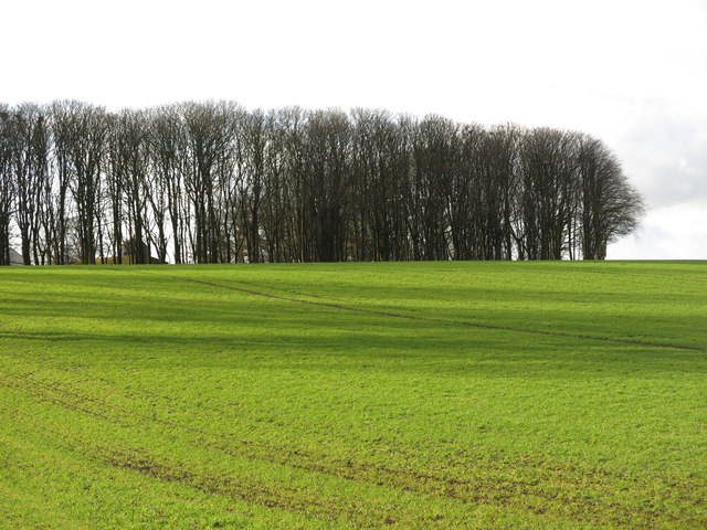
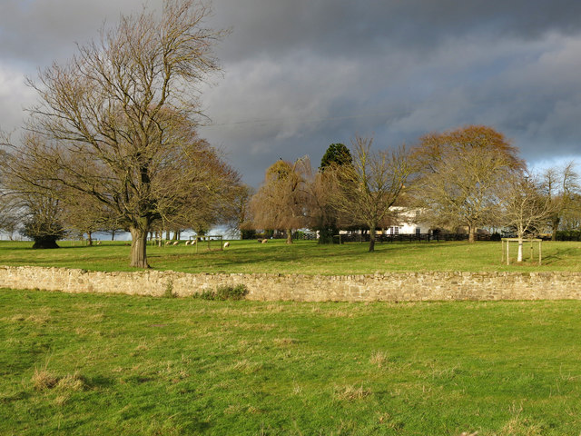
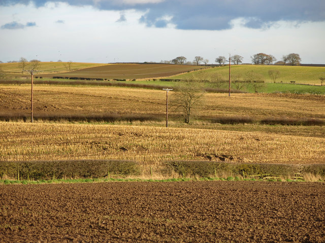
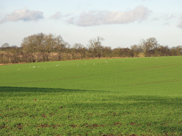
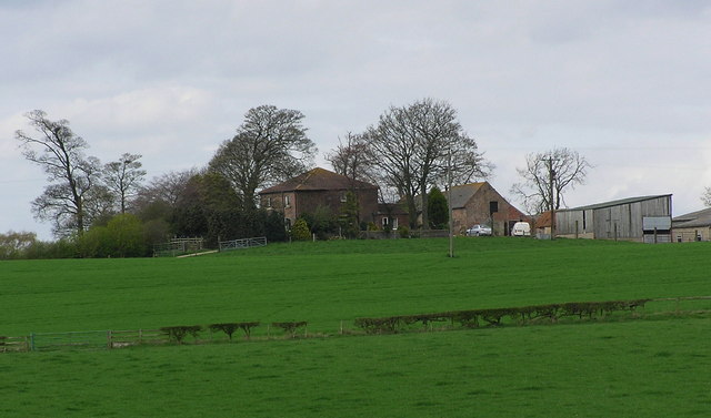
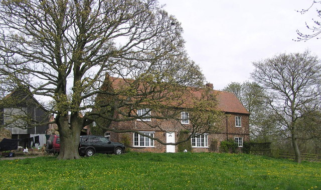
The area of Brafferton spans over picturesque countryside, characterized by rolling hills and farmland. The parish itself is relatively small, covering an area of around 3 square miles. It is predominantly a rural community, with a small population residing in the village of Brafferton.
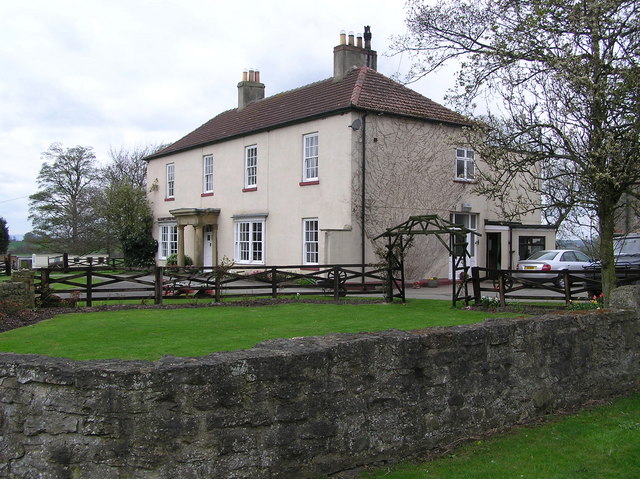
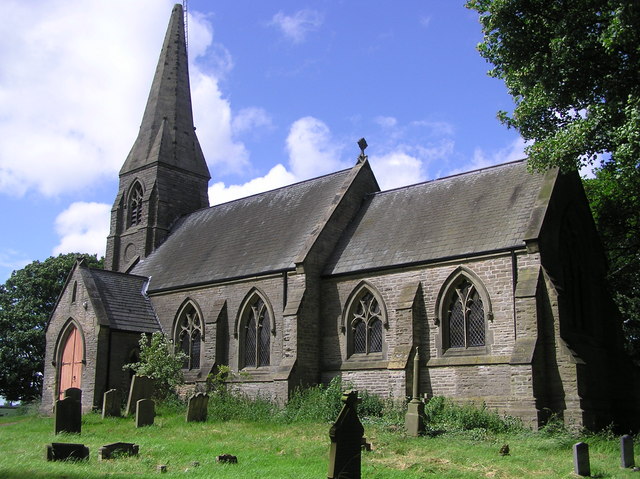
The village of Brafferton is a charming settlement with a long history. It is home to St. Peter's Church, a Grade II listed building that dates back to the 12th century. The church is a notable landmark in the area and a place of worship for the local community.
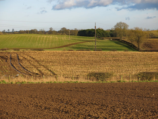
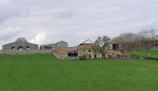
The economy of Brafferton is primarily based on agriculture, with farming being the main occupation for many residents. The surrounding fields are used for cultivating crops and rearing livestock, contributing to the local agricultural industry.
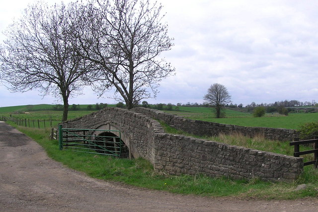
Brafferton offers a tranquil and idyllic setting, attracting visitors who appreciate the beauty of the countryside. The parish provides opportunities for outdoor activities such as walking, cycling, and exploring the surrounding nature reserves.
Overall, Brafferton is a peaceful and rural civil parish in Durham, known for its scenic landscapes, historical church, and agricultural heritage.
If you have any feedback on the listing, please let us know in the comments section below.
Brafferton Images
Images are sourced within 2km of 54.581294/-1.526711 or Grid Reference NZ3020. Thanks to Geograph Open Source API. All images are credited.


Brafferton is located at Grid Ref: NZ3020 (Lat: 54.581294, Lng: -1.526711)
Unitary Authority: Darlington
Police Authority: Durham
What 3 Words
///bucket.boat.amuse. Near Coatham Mundeville, Co. Durham
Nearby Locations
Related Wikis
Newton Ketton
Newton Ketton is a small village in County Durham, in England. It is situated to the north of Darlington. == External links == Media related to Newton...

Brafferton, County Durham
Brafferton is a village and civil parish in County Durham, England. It is administered as part of the borough of Darlington. The population of Brafferton...

Newton Ketton Meadow
Newton Ketton Meadow is a Site of Special Scientific Interest in the Darlington district of Durham, England. It is situated alongside a small tributary...
Redcar Field
Redcar Field is a Site of Special Scientific Interest in the Darlington district of County Durham, England. It is situated just north of Darlington, about...

A167 road
The A167 and A167(M) is a road in North East England. It is partially a trunk road and partially a motorway, where it is commonly referred to as Newcastle...
Coatham Mundeville
Coatham Mundeville is a village in the borough of Darlington and the ceremonial county of County Durham, England. It is situated a short distance from...

Aycliffe railway station
Aycliffe railway station served the village of Aycliffe in County Durham, England. The railway station was served by trains on the East Coast Main Line...
Great Stainton
Great Stainton is a village in the borough of Darlington and ceremonial county of County Durham, England. It is situated to the north of Darlington, and...
Nearby Amenities
Located within 500m of 54.581294,-1.526711Have you been to Brafferton?
Leave your review of Brafferton below (or comments, questions and feedback).