Bradwell
Civil Parish in Essex Braintree
England
Bradwell
Bradwell is a civil parish located in the county of Essex, England. It is situated on the eastern coast of England, near the mouth of the River Blackwater. The parish covers an area of approximately 10 square kilometers and has a population of around 11,000 people.
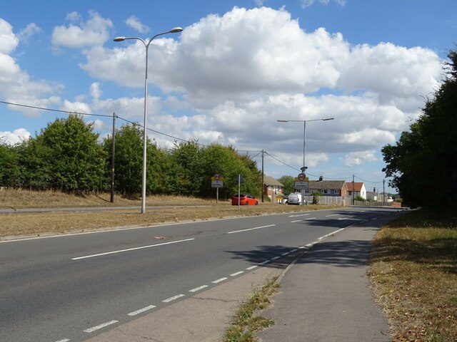
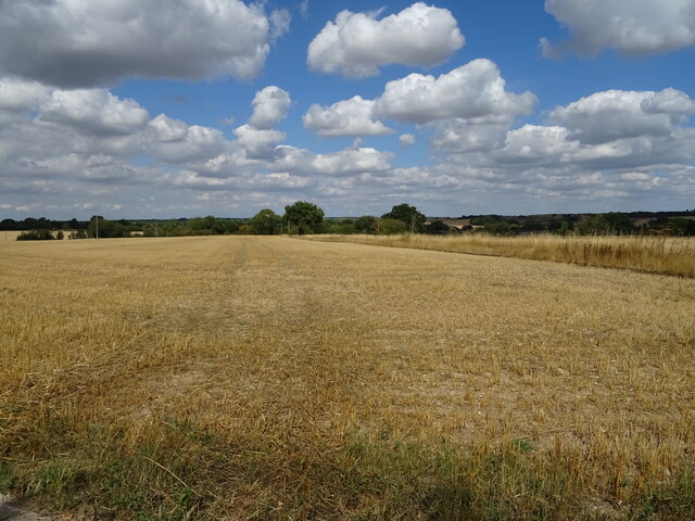
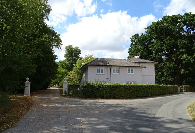
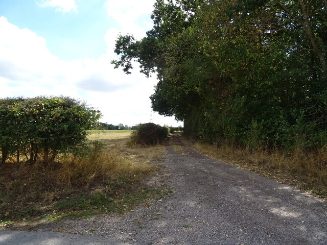
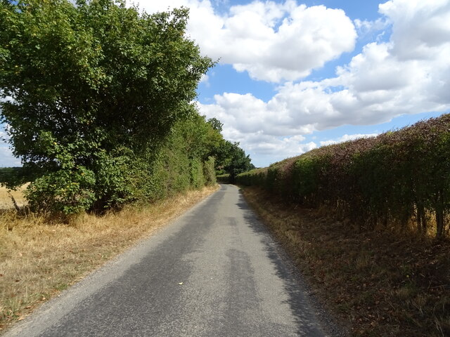
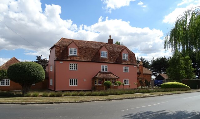
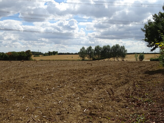
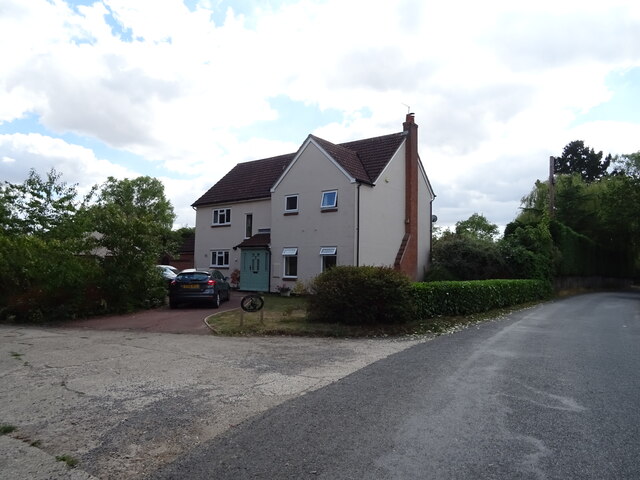
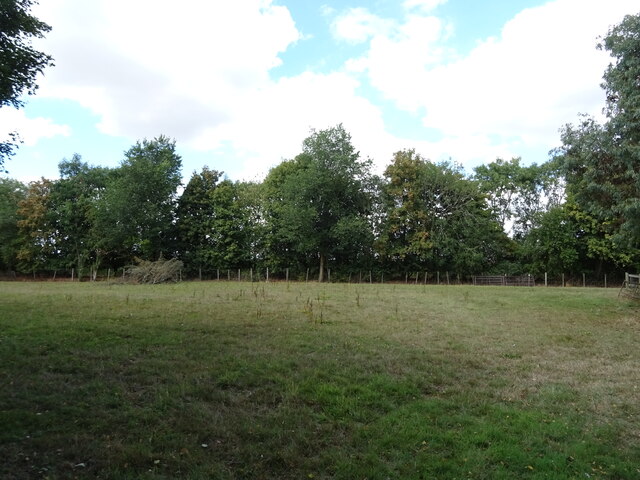
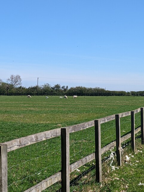
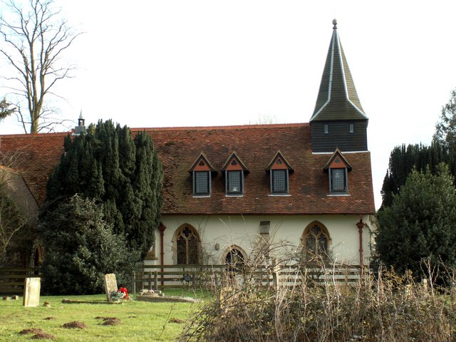
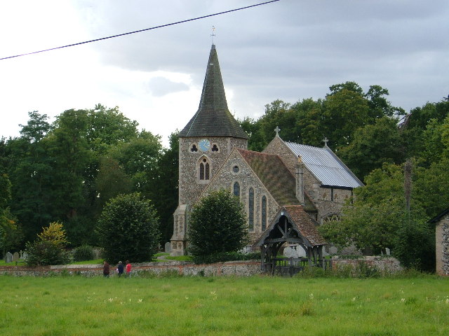
The village of Bradwell is known for its picturesque countryside and traditional English charm. It is surrounded by agricultural land, with fields of crops and grazing animals dotting the landscape. The village itself is characterized by its quaint cottages, historic buildings, and a parish church that dates back to the 13th century.
Bradwell is also home to a number of amenities and facilities that serve the local community. These include a primary school, a village hall, a post office, and several shops and pubs. The village has a strong sense of community, with various events and activities taking place throughout the year, such as fairs, festivals, and sporting events.
The coastal location of Bradwell provides residents and visitors with access to beautiful beaches and stunning views of the estuary. It is a popular destination for outdoor enthusiasts, with opportunities for walking, cycling, and water sports.
Overall, Bradwell offers a peaceful and idyllic setting for those seeking a rural lifestyle, while still providing easy access to larger towns and cities in the surrounding area.
If you have any feedback on the listing, please let us know in the comments section below.
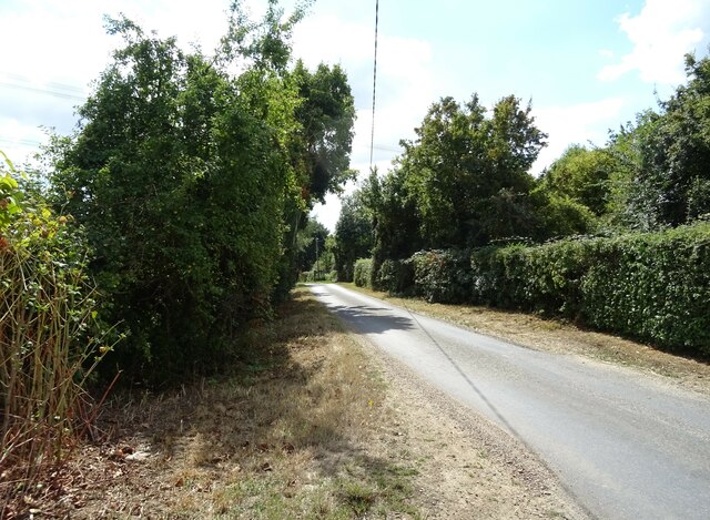
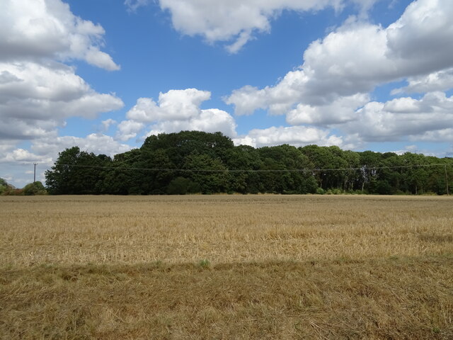
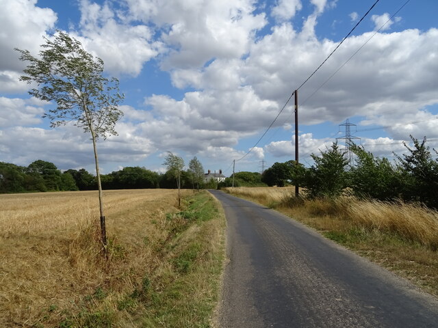
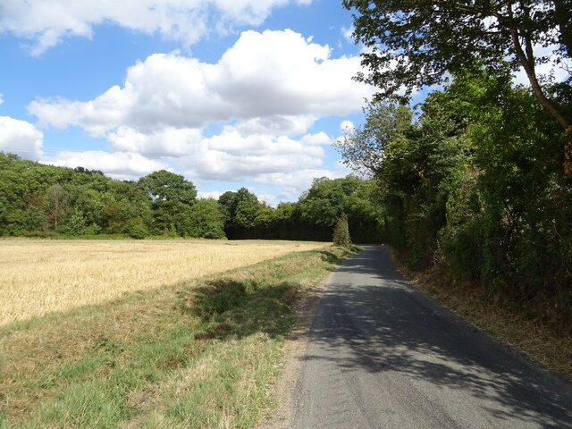
Bradwell Images
Images are sourced within 2km of 51.874383/0.632409 or Grid Reference TL8122. Thanks to Geograph Open Source API. All images are credited.


Bradwell is located at Grid Ref: TL8122 (Lat: 51.874383, Lng: 0.632409)
Administrative County: Essex
District: Braintree
Police Authority: Essex
What 3 Words
///custodial.sofas.inherit. Near Silver End, Essex
Nearby Locations
Related Wikis

Bradwell Juxta Coggeshall
Bradwell or Bradwell Juxta Coggeshall is a village and civil parish in Essex, England. It is located on the River Blackwater, approximately 5 km (3.1...

Perry Green, Essex
Perry Green is a hamlet near the village of Bradwell Juxta Coggeshall, in the Braintree district, in the English county of Essex. For transport there is...
Pattiswick
Pattiswick is a village near the A120 road, and former civil parish, now in the parish of Bradwell, in the Braintree district, in the county of Essex,...
Stockstreet
Stockstreet is a hamlet on the A120 road to the west of the town of Coggeshall in Braintree District, Essex, England
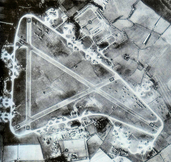
RAF Rivenhall
Royal Air Force Rivenhall or more simply RAF Rivenhall is a former Royal Air Force station located in Essex, England. The airfield is located approximately...
Stisted
Stisted is a civil parish, Church of England parish, and former manor near Braintree, Essex, England. Andrew Motion, a former Poet Laureate, was raised...

Cressing
Cressing is a village and civil parish in the Braintree district of Essex, England. Within the parish is the village of Tye Green and the hamlet of Hawbush...

Coggeshall Town F.C.
Coggeshall Town Football Club is a football club based in Coggeshall, Essex, England. The club are currently members of the Essex Senior League and play...
Nearby Amenities
Located within 500m of 51.874383,0.632409Have you been to Bradwell?
Leave your review of Bradwell below (or comments, questions and feedback).