Bradnop
Civil Parish in Staffordshire Staffordshire Moorlands
England
Bradnop
Bradnop is a civil parish located in the Staffordshire Moorlands district of Staffordshire, England. It is situated in the picturesque Peak District National Park, surrounded by breathtaking scenery and rolling hills. The parish covers an area of approximately 6.5 square kilometers and has a population of around 200 residents.
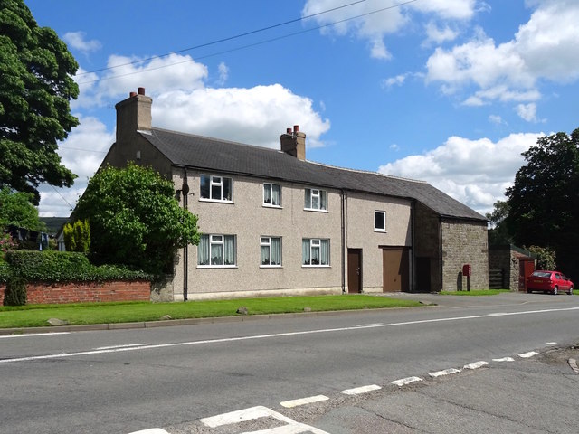
The village of Bradnop itself is a small and tight-knit community, with a charming rural atmosphere. It consists mainly of traditional stone-built houses and cottages, adding to its quaint and idyllic character. The parish is known for its stunning landscapes, with the nearby Roaches providing opportunities for hiking, rock climbing, and bird watching.
Although Bradnop is a rural parish, it benefits from its proximity to the nearby towns of Leek and Buxton, both of which offer a range of amenities, including shops, schools, and healthcare facilities. The parish also has a local pub, which serves as a social hub for residents and visitors alike.
Bradnop is steeped in history, with evidence of human habitation in the area dating back to the Bronze Age. The parish is home to several Grade II listed buildings, such as St. Bartholomew's Church, which dates back to the 18th century and is a notable architectural feature within the village.
Overall, Bradnop offers a peaceful and picturesque setting, making it an attractive destination for those seeking a rural retreat or outdoor pursuits within the stunning Peak District National Park.
If you have any feedback on the listing, please let us know in the comments section below.
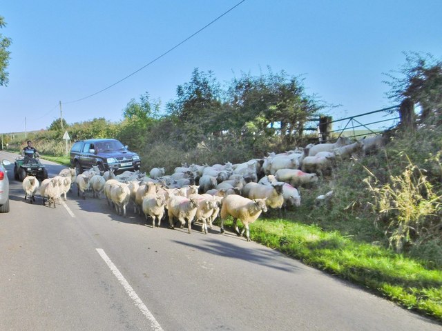
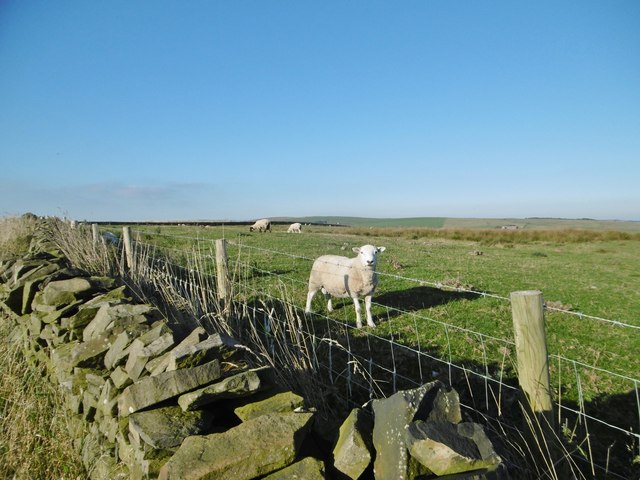
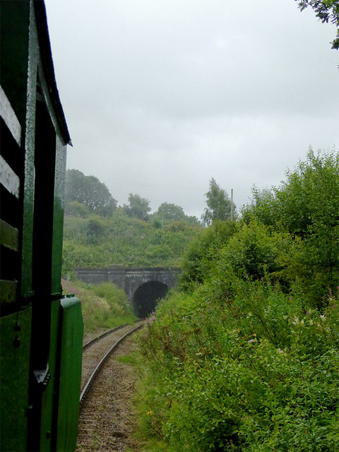
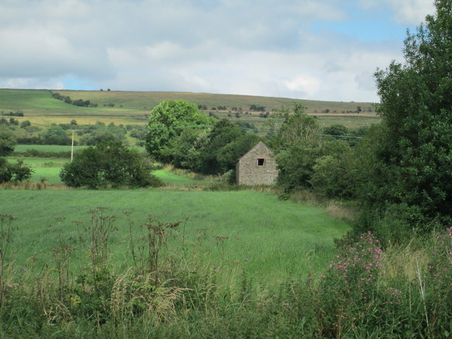
Bradnop Images
Images are sourced within 2km of 53.107211/-1.974842 or Grid Reference SK0156. Thanks to Geograph Open Source API. All images are credited.


Bradnop is located at Grid Ref: SK0156 (Lat: 53.107211, Lng: -1.974842)
Administrative County: Staffordshire
District: Staffordshire Moorlands
Police Authority: Staffordshire
What 3 Words
///panic.mend.printer. Near Leek, Staffordshire
Nearby Locations
Related Wikis

Morridge
Morridge is a geographical feature, a few mile east of Leek, in Staffordshire, England. It is in the local government district of Staffordshire Moorlands...

Thorncliffe, Staffordshire
Thorncliffe is a small village in Staffordshire, England, straddling the Staffordshire Moorlands and Peak District National Park. By 1600 the name Thorncliffe...

Bradnop
Bradnop is a village in Staffordshire, England, located just a few miles to the southeast of the market town of Leek. The name Bradnop was first recorded...

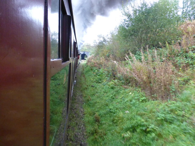
Bradnop railway station
Bradnop railway station was a railway station that served the village of Bradnop, Staffordshire. It was opened by the North Staffordshire Railway (NSR...

Leek High School
Leek High School is a mixed upper school (termed 'high school') located in Leek, Staffordshire, England. As of 2021, the number of students at the school...
The Meadows School, Leek
The Meadows School is a mixed special school co-located with Leek High School in Leek, Staffordshire, England.In 2014 Ofsted said “Students make good...
Tittesworth
Tittesworth is a civil parish in the Staffordshire Moorlands, in Staffordshire, England. It extends from the edge of the town of Leek in the south-west...

Ball Haye Green
Ball Haye Green is an area of Leek in Staffordshire, England. The area was historically an estate in the township of Tittesworth. It was developed as...
Nearby Amenities
Located within 500m of 53.107211,-1.974842Have you been to Bradnop?
Leave your review of Bradnop below (or comments, questions and feedback).