Bradley

Civil Parish in Derbyshire Derbyshire Dales

England

Bradley

A517 at Atlow Cottage
A517 at Atlow Cottage Credit: Colin Pyle

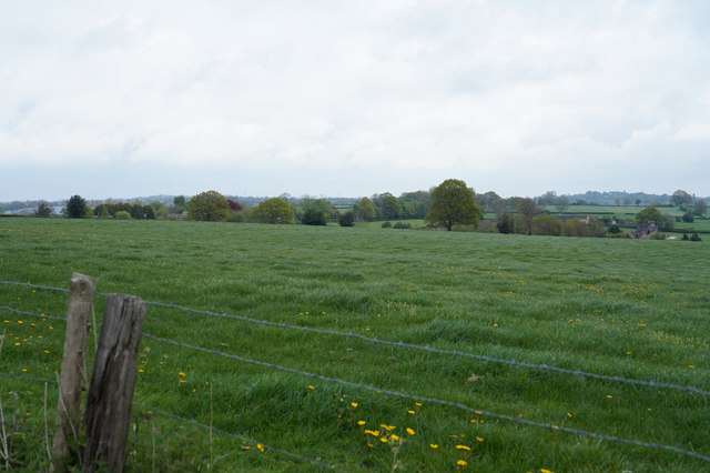
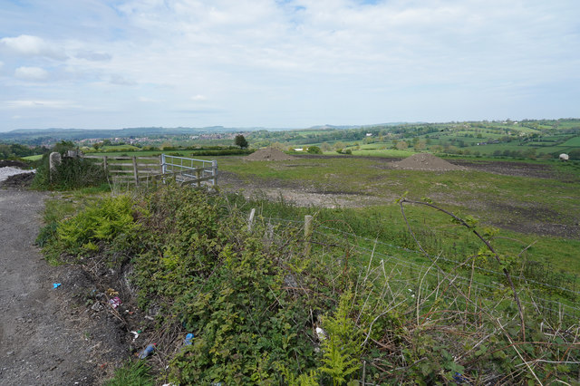
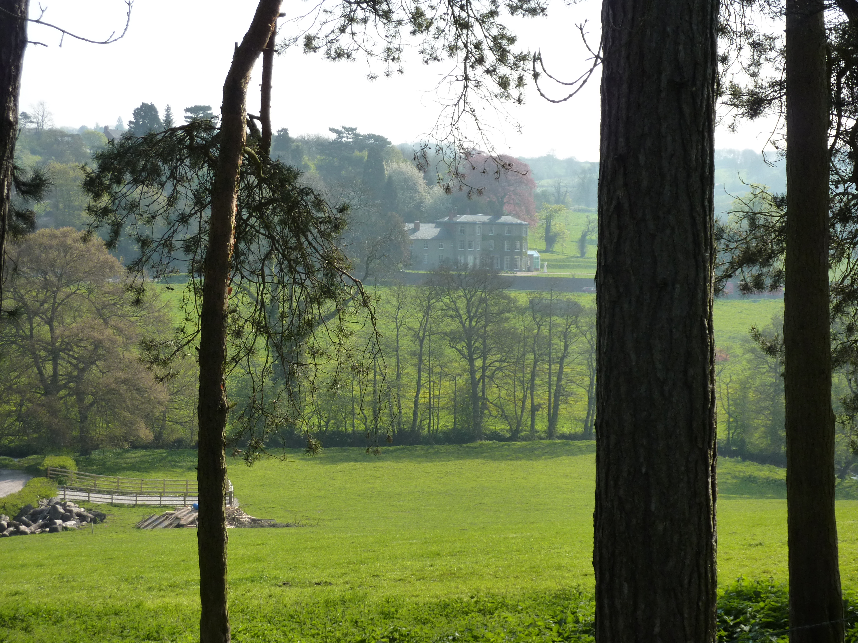
Bradley is a civil parish located in the county of Derbyshire, England. Situated approximately 4 miles southwest of Ashbourne and 12 miles north of Derby, it covers an area of about 5 square miles. The parish is primarily rural, characterized by rolling hills and picturesque countryside.

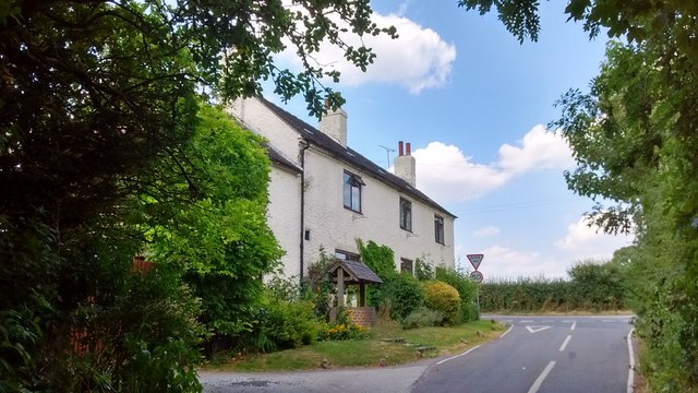
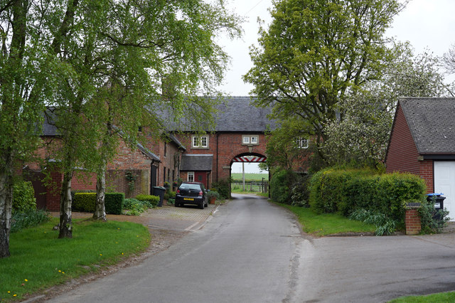
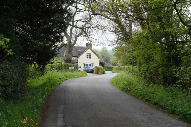
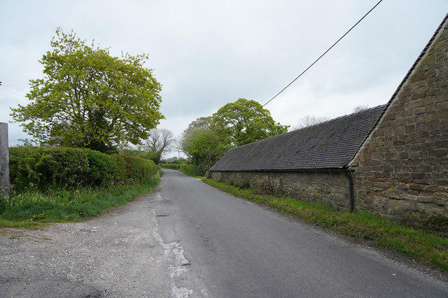
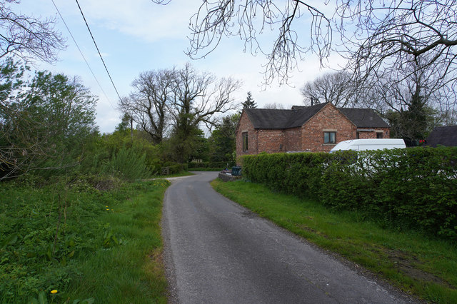
The village of Bradley itself is small, with a population of around 350 residents. It is a close-knit community, known for its friendly and welcoming atmosphere. The village has a charming, traditional feel, with many historic buildings and cottages dotting the landscape.

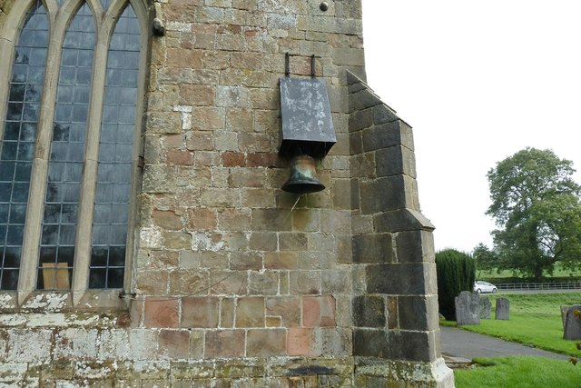
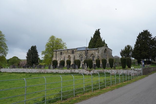
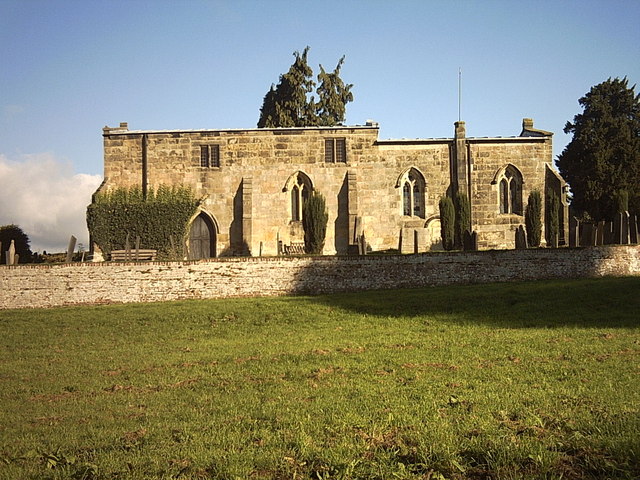
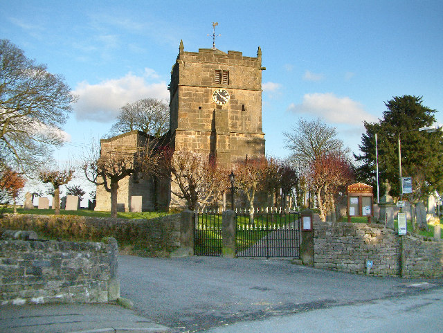
A notable feature of Bradley is its 12th-century parish church, St. Mary's. The church is a beautiful example of Norman architecture, with a striking tower and intricate carvings. It serves as a focal point for the community, hosting regular services and community events.

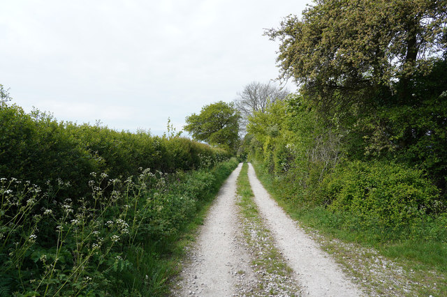
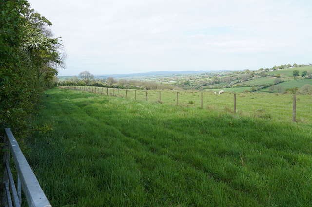
The surrounding area offers plenty of opportunities for outdoor activities, with numerous walking and cycling routes. The nearby Bradley Woods is a popular destination for nature lovers, boasting ancient woodland and diverse wildlife.

Despite its rural setting, Bradley is well-connected to larger towns and cities. The A52 road passes through the parish, providing easy access to nearby Ashbourne and Derby. Additionally, there are regular bus services that connect the village with surrounding areas.

Overall, Bradley is a tranquil and idyllic village in the heart of the Derbyshire countryside, offering a peaceful retreat for its residents and visitors alike.

If you have any feedback on the listing, please let us know in the comments section below.
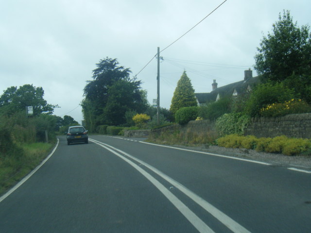
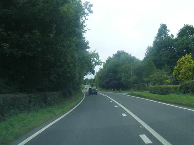
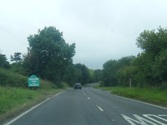
Bradley Images

Images are sourced within 2km of 53.016256/-1.671387 or Grid Reference SK2246. Thanks to Geograph Open Source API. All images are credited.

A517 at Atlow Cottage
A517 near Yew Tree Lane, Bradley
A517 near New House Farm
Bradley Church This church in Bradley doesn't have a bell tower, so a bell is attached to the rear wall, with a steel canopy over it.
Bradley Church
This church in Bradley doesn't have a bell tower, so a bell is attached to the rear wall, with a steel canopy over it.
The Former Jinglers/Fox & Hounds About 4 miles east of Ashbourne on the A517, near Bradley, was a pub with two names. The side of the sign facing towards Ashbourne said The Fox & Hounds whilst the other side said The Jinglers. A former coaching inn, it closed in 2000 and is now a private residence.

Local historian Wendy Whitbread suggests that the Jinglers name came about as the pub used to stand at the end of a track coming from a lead mine. Ponies were employed to transport the lead and the leading pony wore a bell so that its jingling sound would alert workers in the bar to the fact that it was time to deal with the laden beasts. She also suggests that when the inn became tied to Offiler's Brewery the new owners wanted to change the name to the Fox & Hounds and that the double sign was a compromise to keep the locals happy.
The Former Jinglers/Fox & Hounds
About 4 miles east of Ashbourne on the A517, near Bradley, was a pub with two names. The side of the sign facing towards Ashbourne said The Fox & Hounds whilst the other side said The Jinglers. A former coaching inn, it closed in 2000 and is now a private residence. Local historian Wendy Whitbread suggests that the Jinglers name came about as the pub used to stand at the end of a track coming from a lead mine. Ponies were employed to transport the lead and the leading pony wore a bell so that its jingling sound would alert workers in the bar to the fact that it was time to deal with the laden beasts. She also suggests that when the inn became tied to Offiler's Brewery the new owners wanted to change the name to the Fox & Hounds and that the double sign was a compromise to keep the locals happy.
Towards Lower Hough Park Lower Hough Park is, I think, a very different name for one of the local farms.
Towards Lower Hough Park
Lower Hough Park is, I think, a very different name for one of the local farms.
Farm buildings The corrugated roof of some farm buildings is visible in the middle distance of this image.
Farm buildings
The corrugated roof of some farm buildings is visible in the middle distance of this image.
The Knob This distant group of houses around the Y junction is called the Knob on the OS map.
The Knob
This distant group of houses around the Y junction is called the Knob on the OS map.
Hole in the Wall The minor road goes through a building at the quaintly named "Hole in the Wall". There are many warning signs about a low arch as you approach the gap.
Hole in the Wall
The minor road goes through a building at the quaintly named "Hole in the Wall". There are many warning signs about a low arch as you approach the gap.
A lush crop of grass I may be wrong but it looks as though this field is grass and will probably be used for silage.
A lush crop of grass
I may be wrong but it looks as though this field is grass and will probably be used for silage.
The road to Bradley The sign says Bradley and is obviously on the edge of the village.
The road to Bradley
The sign says Bradley and is obviously on the edge of the village.
All Saints Church Bradley In Derbyshire this church is quite unusual in that it has no spire or tower. The grounds around the church look as though they are extremely well tended, especially the clipped bushes.
All Saints Church Bradley
In Derbyshire this church is quite unusual in that it has no spire or tower. The grounds around the church look as though they are extremely well tended, especially the clipped bushes.
Gorse Lane The Farm is Bradley Nook and it sits very close to Gorse Lane, which is a very minor road.
Gorse Lane
The Farm is Bradley Nook and it sits very close to Gorse Lane, which is a very minor road.
Entering Atlow Atlow is yet another very linear village.
Entering Atlow
Atlow is yet another very linear village.
An unsurfaced track The track has a surface of compacted limestone. Presumably put down when the Solar Farm to the left was being installed.
An unsurfaced track
The track has a surface of compacted limestone. Presumably put down when the Solar Farm to the left was being installed.
A lush field of grass Looking over the metal gate into a field of long grass, that is separated from another field with sheep grazing by a pole and wire fence.
A lush field of grass
Looking over the metal gate into a field of long grass, that is separated from another field with sheep grazing by a pole and wire fence.
Corley Lane The lane has the same name as the farm which was near where I took the photo.
Corley Lane
The lane has the same name as the farm which was near where I took the photo.
Piles of spoil in the field There are a couple of piles of spoil in the field at the top of this hill. They do give the area a somewhat unkempt look.
Piles of spoil in the field
There are a couple of piles of spoil in the field at the top of this hill. They do give the area a somewhat unkempt look.
Show me another place!

Bradley is located at Grid Ref: SK2246 (Lat: 53.016256, Lng: -1.671387)

Administrative County: Derbyshire

District: Derbyshire Dales

Police Authority: Derbyshire

What 3 Words

///doubts.badge.local. Near Ashbourne, Derbyshire

Nearby Locations

Bradley Tomlinson Carr

Related Wikis

Nearby Amenities

Located within 500m of 53.016256,-1.671387
Ele: 153.0000000
Lat/Long: 53.0191403/-1.6767712
Barrier: stile
Ele: 154.0000000
Steps: 0
Stile: stepover
Lat/Long: 53.0190995/-1.6767092
Fixme: loner than this
Lat/Long: 53.0149449/-1.6722841
Ele: 164.0000000
Lat/Long: 53.0179452/-1.676005
Barrier: stile
Ele: 184.0000000
Steps: 0
Stile: stepover
Lat/Long: 53.0164166/-1.6745023
Ele: 187.0000000
Lat/Long: 53.0161067/-1.6745586
Ele: 163.0000000
Lat/Long: 53.0179699/-1.676007
Ele: 185.0000000
Lat/Long: 53.0164166/-1.6745962
Bus Stop
Bus: yes
Naptan AtcoCode: 1000DBAR5816
Naptan NaptanCode: dbsgwgwp
Public Transport: platform
Lat/Long: 53.0153225/-1.6692103
Bus Stop
Bus: yes
Ele: 191.0000000
Public Transport: platform
Lat/Long: 53.015348/-1.6698206
The data included in this document is from www.openstreetmap.org. The data is made available under ODbL.

Have you been to Bradley?

Leave your review of Bradley below (or comments, questions and feedback).