British
Settlement in Monmouthshire
Wales
British
Monmouthshire is a county located in southeast Wales, United Kingdom. It shares its borders with the counties of Powys, Herefordshire, Gloucestershire, and Torfaen. The county is primarily rural, encompassing picturesque landscapes, rolling hills, and the famous Wye Valley.
The county town of Monmouthshire is the historic town of Monmouth, situated on the banks of the River Wye. Monmouth is known for its rich history, with the medieval Monmouth Castle and the 13th-century Monnow Bridge being popular attractions. The town also has a vibrant cultural scene, hosting various festivals and events throughout the year.
Monmouthshire is renowned for its natural beauty, with the Brecon Beacons National Park covering a large part of the county. This national park offers stunning landscapes, including the iconic peaks of Pen y Fan and Sugarloaf Mountain, as well as numerous walking and hiking trails for outdoor enthusiasts.
The county is also home to the historic market towns of Abergavenny and Usk, both known for their charming architecture, local markets, and annual agricultural shows. Abergavenny, in particular, is famous for its food scene, hosting the renowned Abergavenny Food Festival every September.
Monmouthshire boasts a rich cultural heritage, with numerous castles, churches, and historic sites scattered across the county. These include Raglan Castle, Tintern Abbey, and the Roman amphitheater at Caerleon, providing visitors with a glimpse into the region's past.
Overall, Monmouthshire offers a blend of natural beauty, historical significance, and cultural attractions, making it an ideal destination for those seeking a mix of outdoor adventures and cultural experiences.
If you have any feedback on the listing, please let us know in the comments section below.
British Images
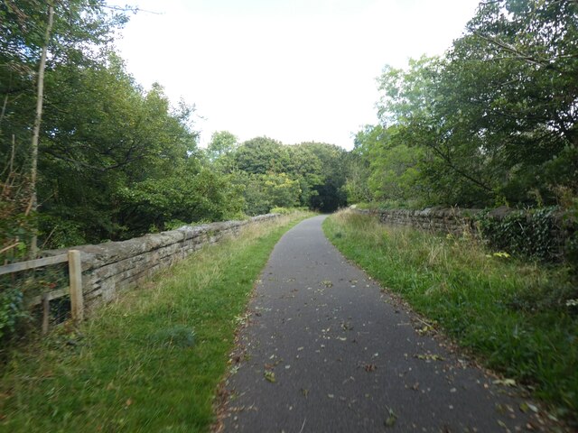
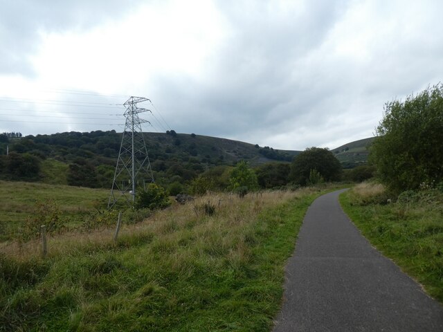
Images are sourced within 2km of 51.725837/-3.079906 or Grid Reference SO2503. Thanks to Geograph Open Source API. All images are credited.


British is located at Grid Ref: SO2503 (Lat: 51.725837, Lng: -3.079906)
Unitary Authority: Torfaen
Police Authority: Gwent
What 3 Words
///verb.motion.shed. Near Pontypool, Torfaen
Nearby Locations
Related Wikis

Abersychan and Talywain railway station
Abersychan and Talywain station served the town of Abersychan in the Welsh county of Monmouthshire. The station was the meeting point for two major pre...

Talywain
Talywain (Welsh: Talywaun) is situated in Garndiffaith, Abersychan and Pentwyn in Torfaen in south east Wales, within the historic boundaries of Monmouthshire...
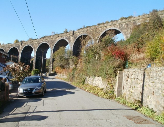
Garndiffaith Viaduct
Garndiffaith Viaduct is a largely stone-built railway viaduct that formerly carried the former Brynmawr and Blaenavon Railway over the valley of the Avon...
Pentwyn Halt railway station
Pentwyn Halt railway station served the village of Pentwyn, in the historical county of Monmouthshire, Wales, from 1912 to 1941 on the Pontypool and Blaenavon...
Nearby Amenities
Located within 500m of 51.725837,-3.079906Have you been to British?
Leave your review of British below (or comments, questions and feedback).