Boxford

Civil Parish in Suffolk Babergh

England

Boxford

Stone Street, Suffolk Stone Street is a small hamlet lying south of the village of Boxford. Along the street are some interesting houses, including this fine timber-framed house on the right of the picture.
Stone Street, Suffolk Credit: Robert Edwards

Boxford is a civil parish located in the county of Suffolk, England. It is situated approximately 23 miles west of Ipswich and 12 miles north of Sudbury. The parish covers an area of around 17 square miles and is home to a population of approximately 2,500 residents.

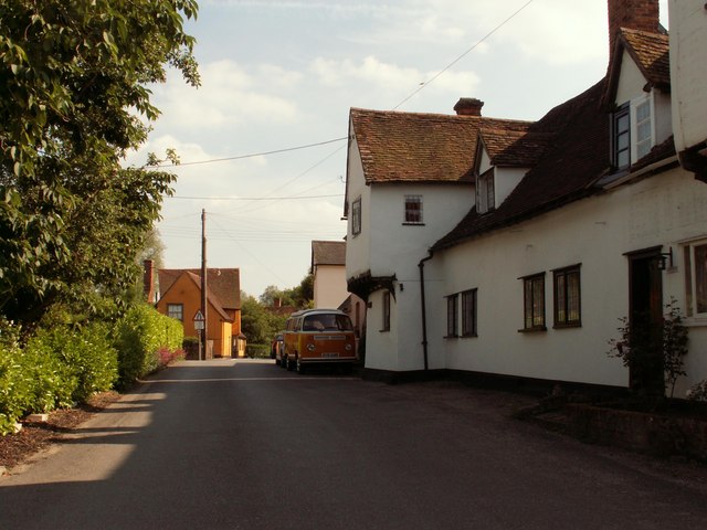
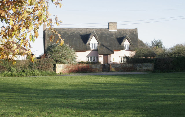
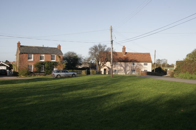
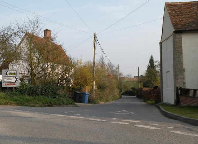
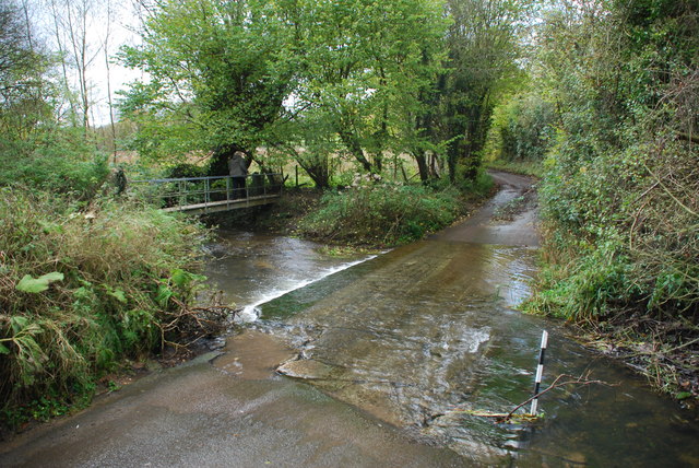
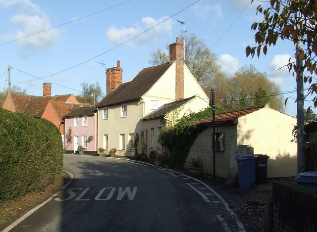
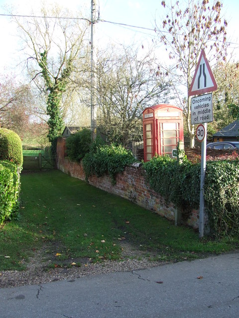
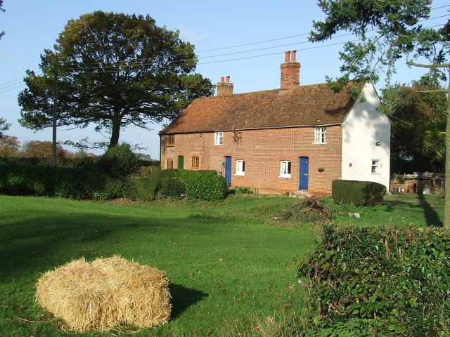
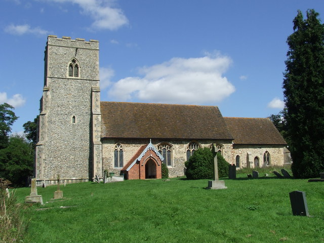
The village of Boxford is known for its picturesque setting, surrounded by rolling hills and lush countryside. It boasts a rich history, with evidence of human settlement dating back to the Roman times. The village itself is characterized by its charming medieval architecture, with many timber-framed buildings still standing today.

Boxford is a thriving community, with a range of amenities and facilities available to its residents. These include a primary school, a post office, a village store, and several pubs and restaurants. The village also has a strong sense of community spirit, with various social and recreational activities taking place throughout the year.

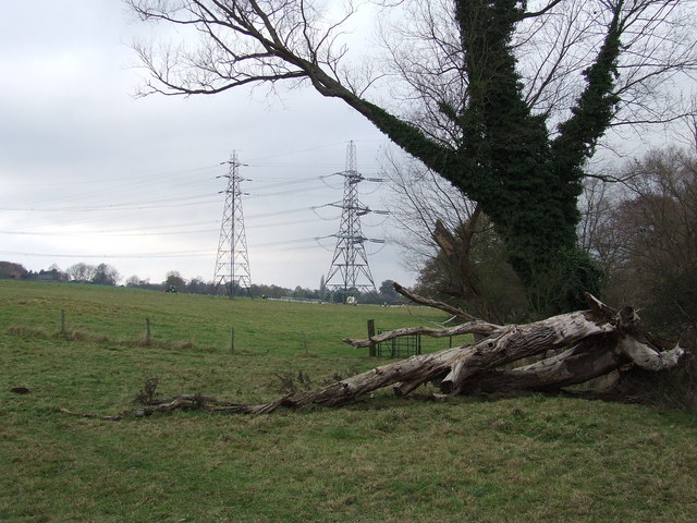
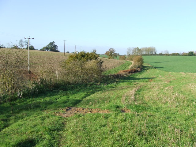
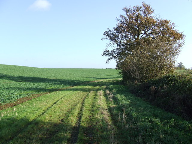
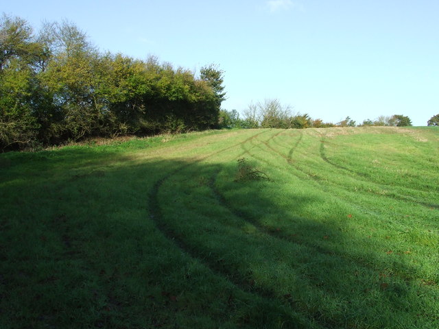
The surrounding area offers plenty of opportunities for outdoor activities, with numerous walking and cycling routes crisscrossing the countryside. Boxford is also within easy reach of several nature reserves and parks, providing residents with the chance to explore and enjoy the natural beauty of Suffolk.

Overall, Boxford is a charming and vibrant village that offers residents a peaceful rural lifestyle, while still providing easy access to larger towns and cities in the region.

If you have any feedback on the listing, please let us know in the comments section below.
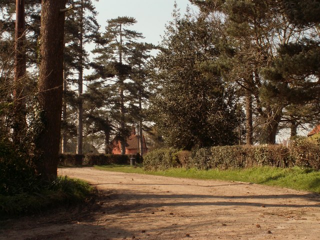
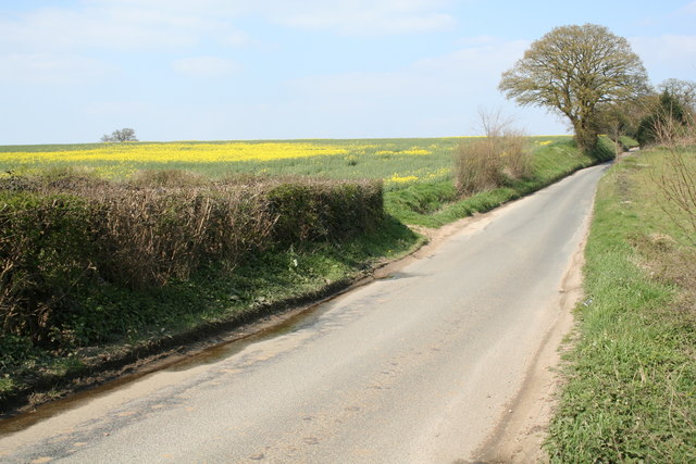
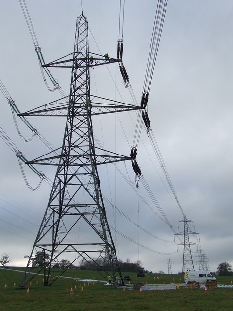
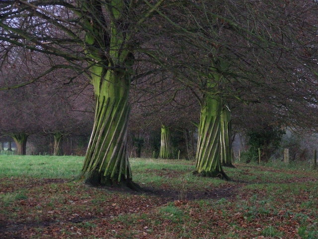
Boxford Images

Images are sourced within 2km of 52.022887/0.858073 or Grid Reference TL9639. Thanks to Geograph Open Source API. All images are credited.

Stone Street, Suffolk Stone Street is a small hamlet lying south of the village of Boxford. Along the street are some interesting houses, including this fine timber-framed house on the right of the picture.
Stone Street, Suffolk
Stone Street is a small hamlet lying south of the village of Boxford. Along the street are some interesting houses, including this fine timber-framed house on the right of the picture.
Bramble Cottage This cottage is on the green in Whitestreet Green. I'm afraid that there are no markers which will confirm that this is where I say it is!! As with many villages in the area there are no signs which tell you where you are!
Bramble Cottage
This cottage is on the green in Whitestreet Green. I'm afraid that there are no markers which will confirm that this is where I say it is!! As with many villages in the area there are no signs which tell you where you are!
Whitestreet Green Another shot of the green. Looking north this time. Bramble Cottage is just out of view on the right.
Whitestreet Green
Another shot of the green. Looking north this time. Bramble Cottage is just out of view on the right.
A view of Avely Hall, northeast of Assington
Part of Boxford (Suffolk) Farms Ltd. This is part of a complex of buildings at Hill Farm.
Part of Boxford (Suffolk) Farms Ltd.
This is part of a complex of buildings at Hill Farm.
Road to Firs Farm The farmhouse can just be seen through the trees.
Road to Firs Farm
The farmhouse can just be seen through the trees.
Between Leavenheath and Boxford A quiet single track lane between Leavenheath and Boxford in Suffolk
Between Leavenheath and Boxford
A quiet single track lane between Leavenheath and Boxford in Suffolk
Maintenance overhead Maintenance on the overhead power lines near to Polstead, Suffolk.
Maintenance overhead
Maintenance on the overhead power lines near to Polstead, Suffolk.
Twisted trees Twisted laths of wood around a line of trees along the drive to Peyton Hall near Stone Street Suffolk.
Twisted trees
Twisted laths of wood around a line of trees along the drive to Peyton Hall near Stone Street Suffolk.
Pylons and fallen tree Pylons and fallen tree near to Polstead, Suffolk. The pylon to the right is having maintenance work carried out on it. If you look carefully you can see three men working on the pylon. For close up view see <a title="https://www.geograph.org.uk/photo/615845" href="https://www.geograph.org.uk/photo/615845">Link</a>
Pylons and fallen tree
Pylons and fallen tree near to Polstead, Suffolk. The pylon to the right is having maintenance work carried out on it. If you look carefully you can see three men working on the pylon. For close up view see Link
The road to Whitestreet Green This is the view from Hadleigh Road in a hamlet called Calais Street.
The road to Whitestreet Green
This is the view from Hadleigh Road in a hamlet called Calais Street.
Ford and Footbridge at Stone Street This pretty ford on Wash Lane is found at Stone Street.
Ford and Footbridge at Stone Street
This pretty ford on Wash Lane is found at Stone Street.
Stone Street Stone Street, Suffolk.
Stone Street
Stone Street, Suffolk.
Telephone Box And Footpath Telephone box and footpath at Stone Street, Suffolk.
Telephone Box And Footpath
Telephone box and footpath at Stone Street, Suffolk.
Footpath Footpath looking west near to Boxford, Suffolk.
Footpath
Footpath looking west near to Boxford, Suffolk.
Cottages Cottages near to Boxford, Suffolk.
Cottages
Cottages near to Boxford, Suffolk.
Green Path Footpath looking east near to Boxford, Suffolk.
Green Path
Footpath looking east near to Boxford, Suffolk.
Tracks In The Grass Track marks in the grass near to Boxford, Suffolk.
Tracks In The Grass
Track marks in the grass near to Boxford, Suffolk.
Show me another place!

Boxford is located at Grid Ref: TL9639 (Lat: 52.022887, Lng: 0.858073)

Administrative County: Suffolk

District: Babergh

Police Authority: Suffolk

What 3 Words

///pesky.deploying.blizzard. Near Great Waldingfield, Suffolk

Nearby Locations

Boxford Stone Street

Related Wikis

Hagmore Green

Hagmore Green is a hamlet in the civil parish of Boxford, in the Babergh district, in the county of Suffolk, England. The nearest village is Boxford, the...

Boxford, Suffolk

Boxford is a village and civil parish in the Babergh district of Suffolk, England. Located around six miles east of Sudbury straddling the River Box and...

Groton, Suffolk

Groton is a village and civil parish in the Babergh district, Suffolk, England, located around a mile north of the A1071 between Hadleigh and Sudbury....

Edwardstone

Edwardstone is a village and civil parish in the Babergh district, in the county of Suffolk, England. The parish contains the hamlets of Mill Green, Priory...

Nearby Amenities

Located within 500m of 52.022887,0.858073
Bus Stop
Telephone Box
Naptan AtcoCode: 390010361
Naptan Bearing: S
Naptan BusStopType: CUS
Naptan CommonName: Telephone Box
Naptan Indicator: o/s
Naptan Landmark: Telephone Box
Naptan NaptanCode: sufagajm
Naptan Street: Stone Street
Naptan Verified: no
Source: naptan_import
Lat/Long: 52.0212473/0.8619655
Bus Stop
Telephone Box
Naptan AtcoCode: 390010362
Naptan Bearing: N
Naptan BusStopType: CUS
Naptan CommonName: Telephone Box
Naptan Indicator: opp
Naptan Landmark: Telephone Box
Naptan NaptanCode: sufagajp
Naptan Street: Stone Street
Naptan Verified: no
Source: naptan_import
Lat/Long: 52.0212239/0.8617754
Bus Stop
Hockley Hole Lane
Naptan AtcoCode: 390010885
Naptan Bearing: W
Naptan CommonName: Hockley Hole Lane
Naptan Indicator: adj
Naptan Landmark: Hockley Hole Lane
Naptan NaptanCode: sufjtdwt
Naptan Street: Boxford Lane
Naptan Verified: no
Public Transport: platform
Source: naptan_import
Lat/Long: 52.0254695/0.8548577
Bus Stop
Hockley Hole Lane
Naptan AtcoCode: 390010886
Naptan Bearing: E
Naptan BusStopType: CUS
Naptan CommonName: Hockley Hole Lane
Naptan Indicator: opp
Naptan Landmark: Hockley Hole Lane
Naptan NaptanCode: sufjtgag
Naptan Street: Boxford Lane
Naptan Verified: no
Public Transport: platform
Source: naptan_import
Lat/Long: 52.0255792/0.854845
Power: pole
Lat/Long: 52.0246945/0.8634166
Power: pole
Lat/Long: 52.0228295/0.8644171
Stone Street
Place: hamlet
Wikidata: Q641001
Lat/Long: 52.0204411/0.8623196
Telephone
Booth: K6
Covered: booth
Listed Status: Grade II
Phone: +44 1787 210437
Lat/Long: 52.0212197/0.8620263
Post Box
Post Box Type: wall
Royal Cypher: VR
Royal Cypher Wikidata: Q33102356
Lat/Long: 52.0204639/0.8618224
The data included in this document is from www.openstreetmap.org. The data is made available under ODbL.

Have you been to Boxford?

Leave your review of Boxford below (or comments, questions and feedback).