Boulge
Civil Parish in Suffolk East Suffolk
England
Boulge
Boulge is a small civil parish located in the county of Suffolk, England. Situated approximately 12 miles northeast of Ipswich, the parish covers an area of about 2.3 square miles and is home to a population of around 100 residents.
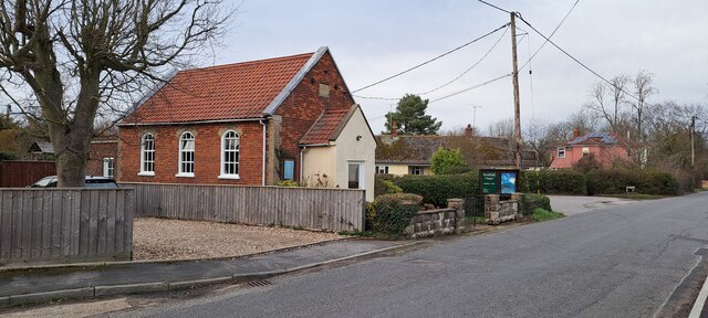
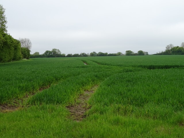
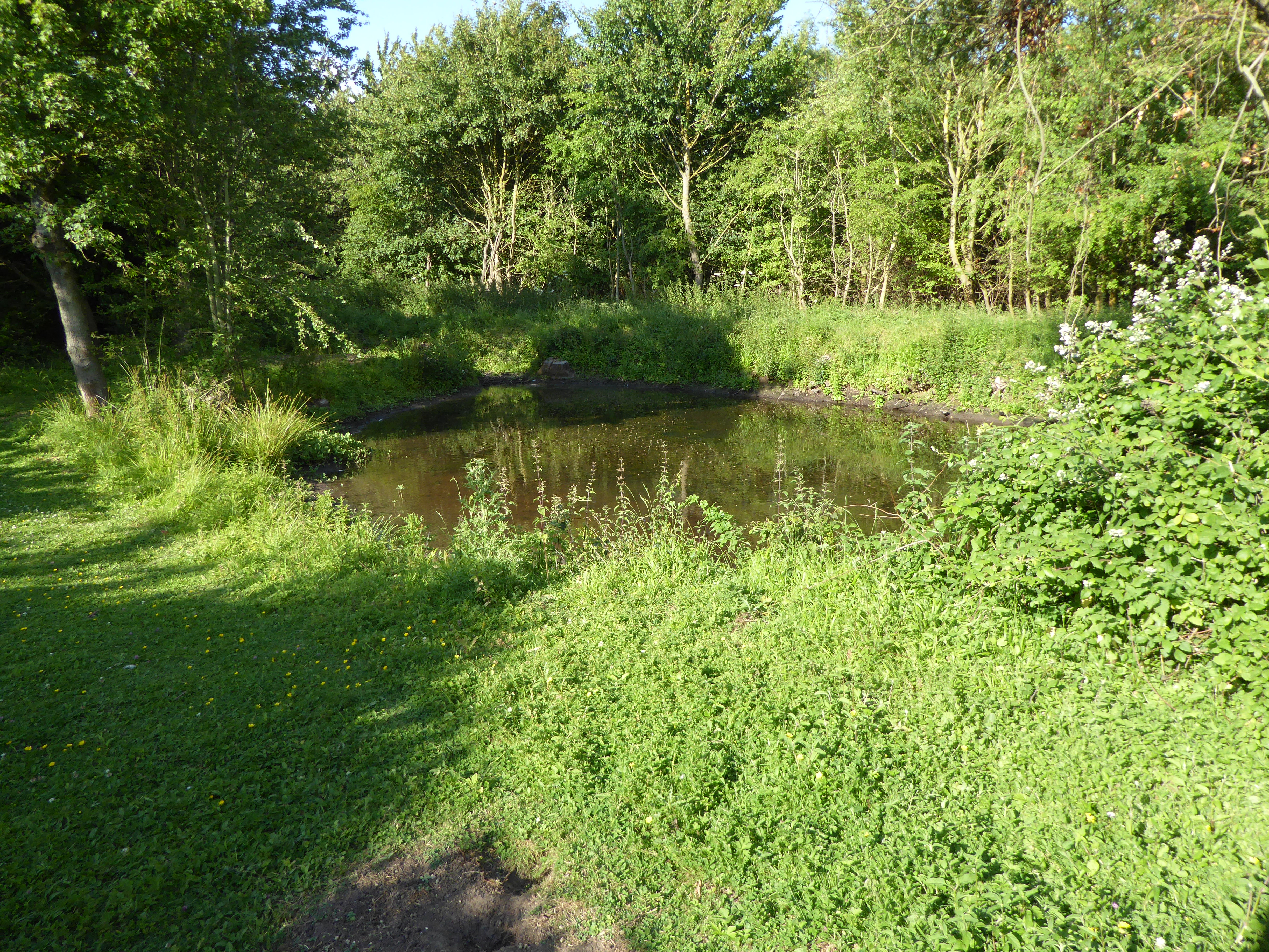
The village of Boulge is characterized by its picturesque rural setting, with an abundance of open fields, farmland, and woodland surrounding it. The parish is part of the Suffolk Coastal District and falls within the East of England region.
Although small in size, Boulge has a rich history dating back many centuries. The village is mentioned in the Domesday Book of 1086, an ancient record of land ownership and taxation in England. Over the years, Boulge has seen various developments and changes, but its charm and tranquility have remained intact.
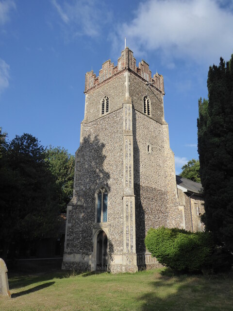
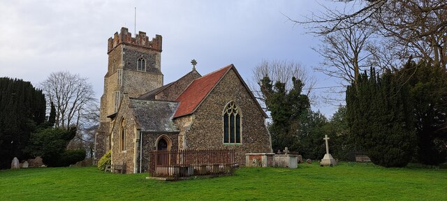
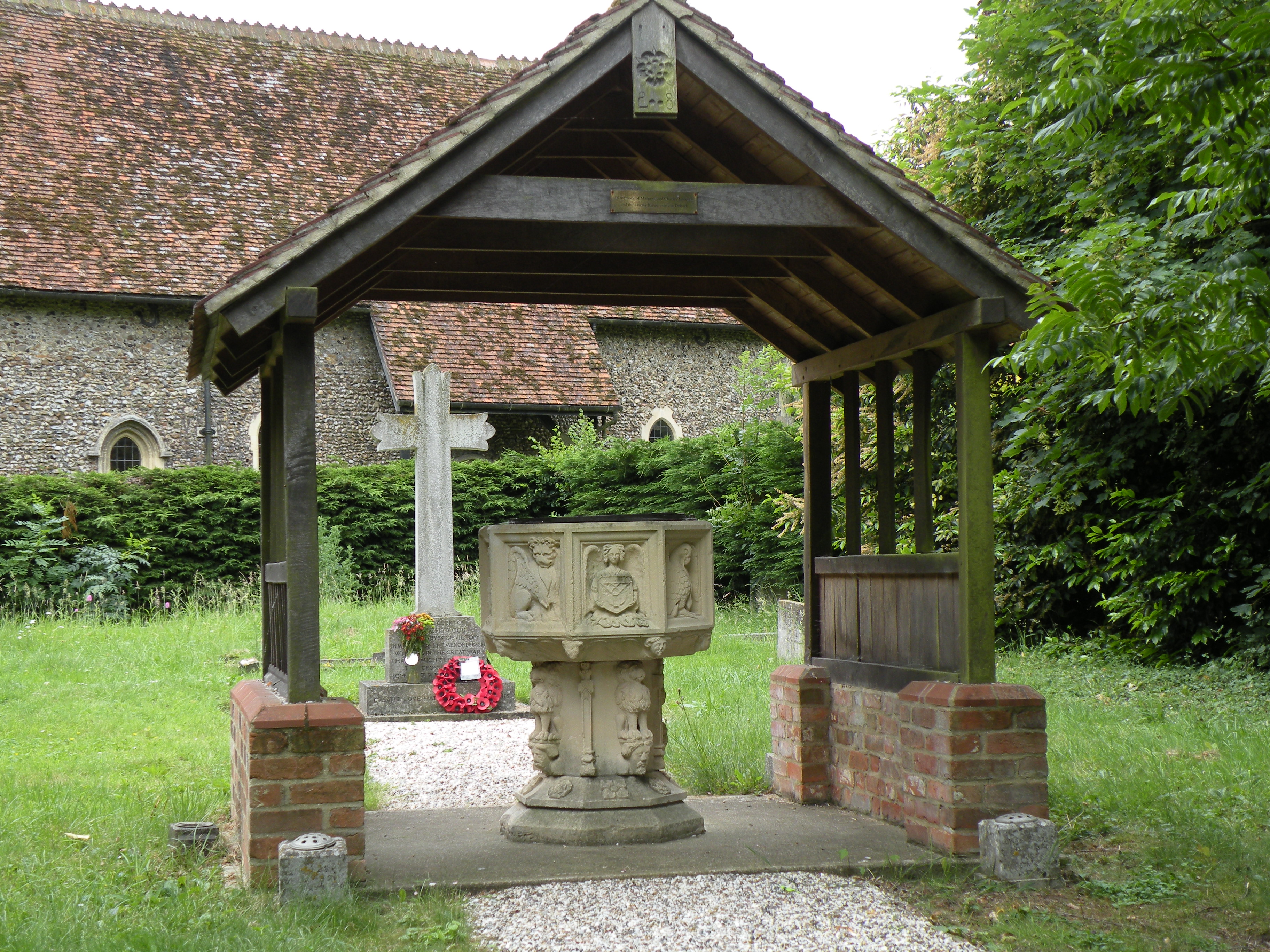
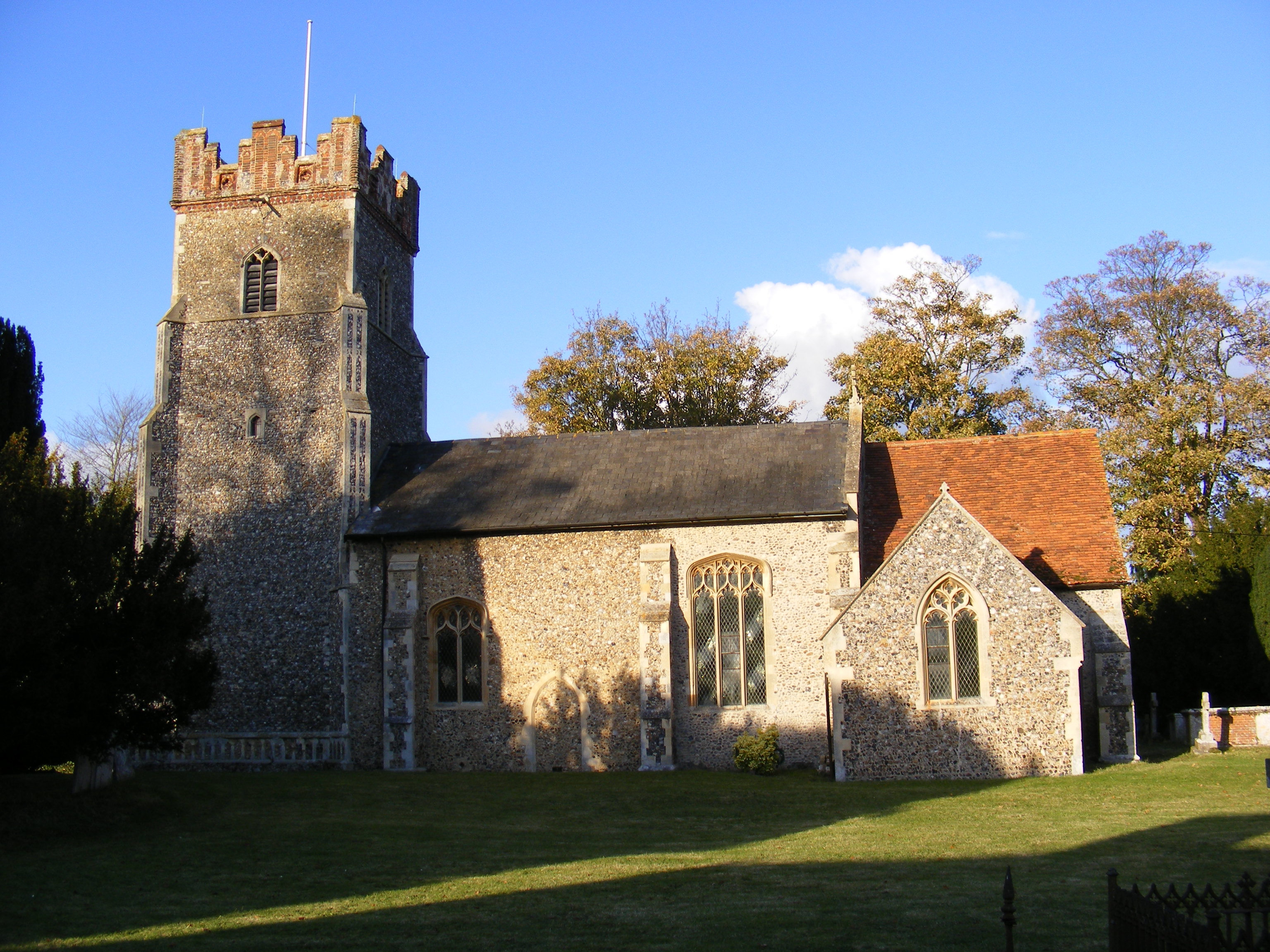
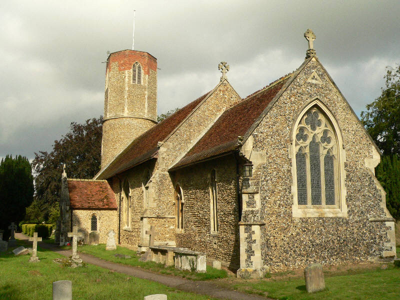
One notable feature of Boulge is its Grade II listed church, St. Michael and All Angels. The church, believed to date back to the 12th century, is a prominent landmark in the village and serves as a place of worship for the local community.
The economy of Boulge primarily revolves around agriculture, with farming being the main occupation for many residents. The village also benefits from its proximity to larger towns and cities, providing employment and amenities for its inhabitants.
Overall, Boulge offers a peaceful and idyllic countryside living experience, making it an attractive place for those seeking a rural retreat away from the hustle and bustle of city life.
If you have any feedback on the listing, please let us know in the comments section below.
Boulge Images
Images are sourced within 2km of 52.129164/1.289634 or Grid Reference TM2552. Thanks to Geograph Open Source API. All images are credited.


Boulge is located at Grid Ref: TM2552 (Lat: 52.129164, Lng: 1.289634)
Administrative County: Suffolk
District: East Suffolk
Police Authority: Suffolk
What 3 Words
///eaten.pelt.answer. Near Grundisburgh, Suffolk
Nearby Locations
Related Wikis

Boulge
Boulge is a hamlet and civil parish in the East Suffolk district of Suffolk, England. It is about 3 miles (5 km) north of Woodbridge. The population remained...
Debach
Debach is a small village about four miles northwest of Woodbridge, Suffolk, UK. == History == At the time of the Domesday Book, 1086, it was called Debenbeis...
Bredfield
Bredfield is a small village and civil parish in the English county of Suffolk. It is situated just off the A12, two miles north of Woodbridge. Another...
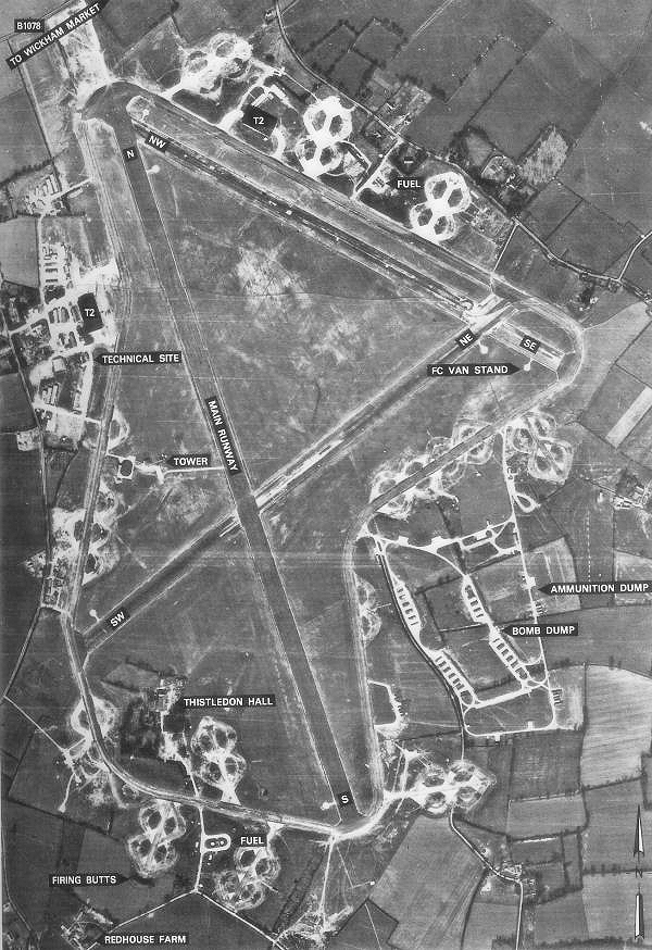
RAF Debach
Royal Air Force Debach or more simply RAF Debach is a former Royal Air Force station located at Debach, 3 miles (4.8 km) northwest of Woodbridge, Suffolk...
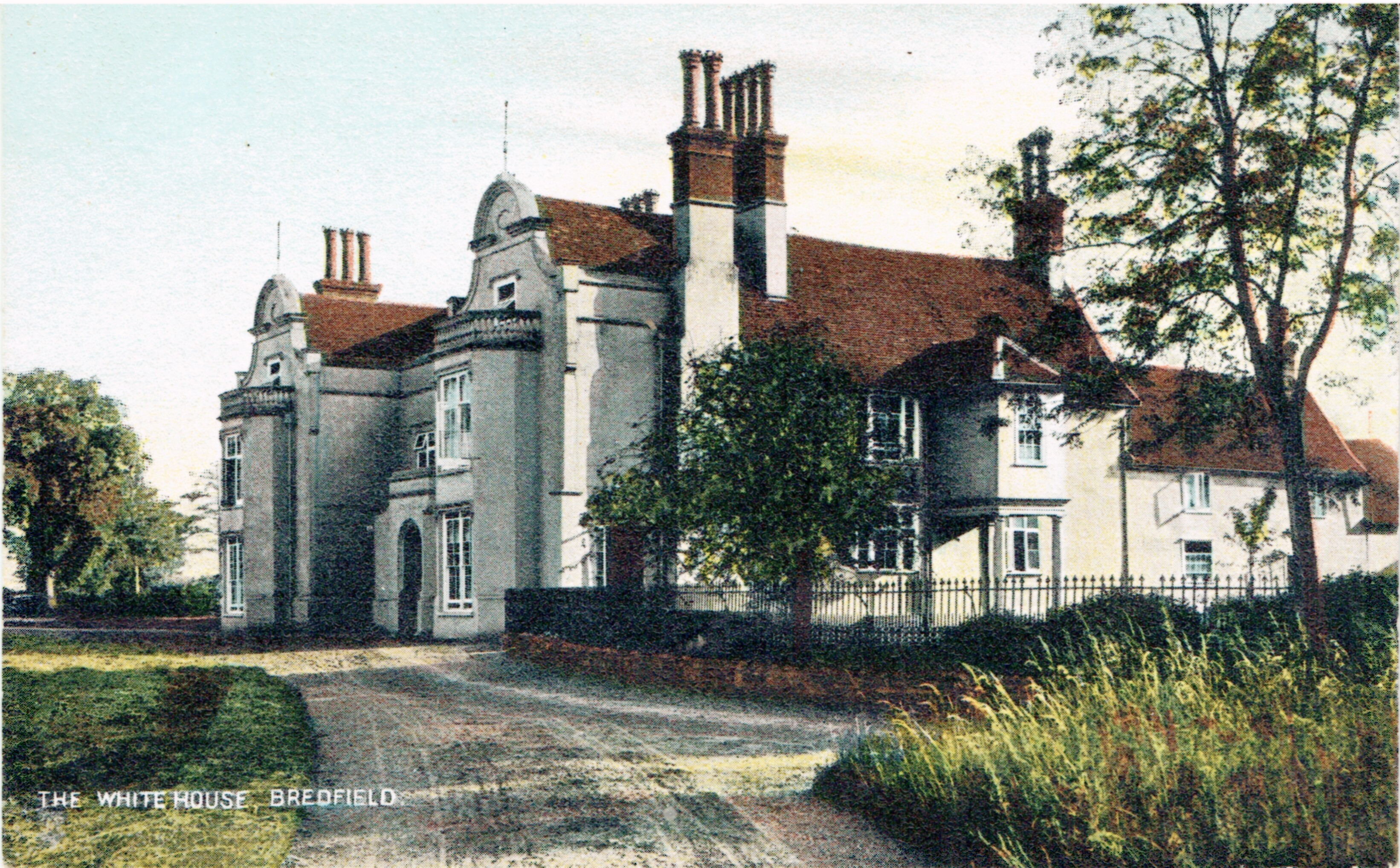
Bredfield House
Bredfield House (or White House as it was also known) was a now-demolished country house situated in the village of Bredfield, around 2 miles north of...
Foxburrow Farm
Foxburrow Farm is a 67 hectare nature reserve north of Melton in Suffolk. It is managed by the Suffolk Wildlife Trust.Part of this site is a working farm...
Hasketon
Hasketon is a village and civil parish in the East Suffolk District of Suffolk, England. Its church, St. Andrews, is one of 38 existing round-tower churches...

Dallinghoo
Dallinghoo is a village about three miles (5 km) north of Woodbridge, Suffolk, England. == Location == Dallinghoo is formed from Church Road to the west...
Nearby Amenities
Located within 500m of 52.129164,1.289634Have you been to Boulge?
Leave your review of Boulge below (or comments, questions and feedback).