Botley

Civil Parish in Hampshire Eastleigh

England

Botley

"The Railway" at Botley A pub in the Greene King Brewery estate on Station Hill opposite the entrance to Botley station.
"The Railway" at Botley Credit: Des Blenkinsopp

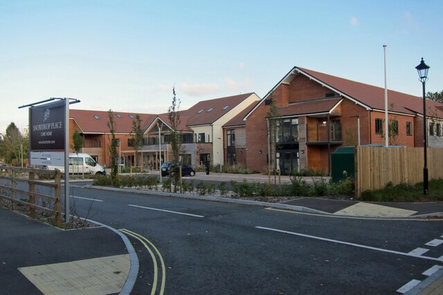
Botley is a civil parish located in Hampshire, England. Situated approximately 5 miles east of Southampton, it is a vibrant and picturesque village that offers a mix of rural charm and modern amenities.

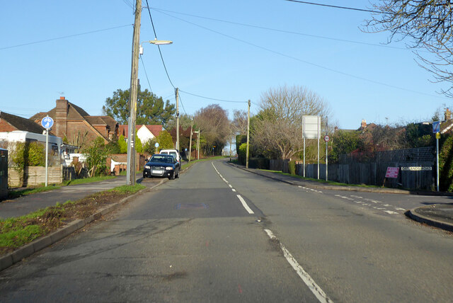
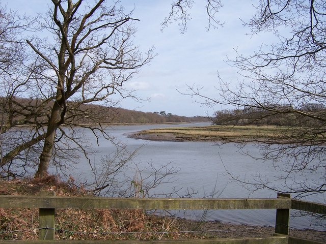
The village is surrounded by beautiful countryside, with rolling hills and lush green fields, making it an ideal location for nature enthusiasts and outdoor activities. Botley is known for its scenic walks and cycling routes that provide stunning views of the surrounding landscapes.

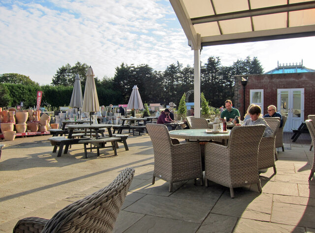
With a population of around 8,500, Botley is a thriving community with a range of facilities and services. The village has a variety of shops, including local independent stores and larger supermarkets, catering to the everyday needs of its residents. There are also several pubs, restaurants, and cafes, offering a diverse range of dining options.

Botley is well-connected to the nearby cities and towns, with good transport links. It has its own railway station, providing regular services to Southampton, Portsmouth, and other major cities. Additionally, the village is served by a reliable bus network, making it easily accessible for both residents and visitors.

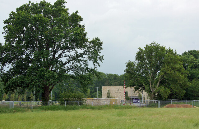
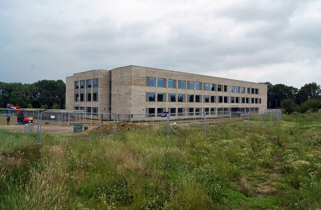
Education is well catered for in Botley, with a primary school and a secondary school serving the local community. The schools have a good reputation and provide a high standard of education.

Overall, Botley is a picturesque village with a strong community spirit, offering a high quality of life for its residents. Its convenient location, beautiful surroundings, and range of amenities make it an attractive place to live or visit.

If you have any feedback on the listing, please let us know in the comments section below.

Botley Images

Images are sourced within 2km of 50.909301/-1.281871 or Grid Reference SU5012. Thanks to Geograph Open Source API. All images are credited.

"The Railway" at Botley A pub in the Greene King Brewery estate on Station Hill opposite the entrance to Botley station.
"The Railway" at Botley
A pub in the Greene King Brewery estate on Station Hill opposite the entrance to Botley station.
Station Hill, Botley Part of a small business estate along Hillsons Road off to the left.
The station is beyond the trees in the background.
Station Hill, Botley
Part of a small business estate along Hillsons Road off to the left. The station is beyond the trees in the background.
Deer Park School, entrance The larger brick building is the Sports Hall. The main school building is out of sight to the left. The school is currently under the final stages of construction, and is due to open in September this year. Currently, the school is surrounded by open fields, though these are destined to shortly be turned into a new housing estate.
Deer Park School, entrance
The larger brick building is the Sports Hall. The main school building is out of sight to the left. The school is currently under the final stages of construction, and is due to open in September this year. Currently, the school is surrounded by open fields, though these are destined to shortly be turned into a new housing estate.
Deer Park School, nearing completion This new secondary school is due to open in September this year. It is currently surrounded by open fields, though very shortly, construction of a new housing estate will swallow them up.
Deer Park School, nearing completion
This new secondary school is due to open in September this year. It is currently surrounded by open fields, though very shortly, construction of a new housing estate will swallow them up.
Deer Park School, under construction The leafy rural setting of the new school will soon change. While most of the larger trees will survive, the fields which surround the school are soon to become a housing development.
Deer Park School, under construction
The leafy rural setting of the new school will soon change. While most of the larger trees will survive, the fields which surround the school are soon to become a housing development.
Deer Park School - now open This view is across the not-yet open car park of the school towards the main building. The school started accepting pupils in September of this year, though clearly parts of the campus are still unfinished.
Deer Park School - now open
This view is across the not-yet open car park of the school towards the main building. The school started accepting pupils in September of this year, though clearly parts of the campus are still unfinished.
Snowdrop Place Care Home Newly opened residential care home operated by Barchester Healthcare.
(See also <a href="https://www.geograph.org.uk/photo/6635397">SU5013 : Snowdrop Place Care Home - under construction</a>).
Snowdrop Place Care Home
Newly opened residential care home operated by Barchester Healthcare. (See also SU5013 : Snowdrop Place Care Home - under construction).
Garden centre café A pleasant place to enjoy a cup of tea and enjoy the autumn sunshine while thinking about all that gardening you could be doing.
Garden centre café
A pleasant place to enjoy a cup of tea and enjoy the autumn sunshine while thinking about all that gardening you could be doing.
A334 towards Wickham Leaving Botley, crossing the River Hamble.
A334 towards Wickham
Leaving Botley, crossing the River Hamble.
A334 High Street, Botley Eastwards towards Wickham.
A334 High Street, Botley
Eastwards towards Wickham.
A334 towards Botley
A334 towards Botley
B3354 Winchester Road, Boorley Green Towards Winchester.
B3354 Winchester Road, Boorley Green
Towards Winchester.
Botley: on Platform 2 This is the line from Fareham to Eastleigh (ahead). The original station buildings - with the exception of the boarded-up signal box - have been demolished and Botley is now an unstaffed halt. The late Ben Brooksbank's <a href="https://www.geograph.org.uk/photo/1859055">SU5213 : Botley Station</a> shows it as it was in 1963.
Botley: on Platform 2
This is the line from Fareham to Eastleigh (ahead). The original station buildings - with the exception of the boarded-up signal box - have been demolished and Botley is now an unstaffed halt. The late Ben Brooksbank's SU5213 : Botley Station shows it as it was in 1963.
Approaching Botley Station The Railway Inn is on the right of the A334, opposite the station (which is masked by trees and part of an industrial estate).
Approaching Botley Station
The Railway Inn is on the right of the A334, opposite the station (which is masked by trees and part of an industrial estate).
Botley: at the corner of Church Lane and Mill Hill High Street is to the left and Winchester Street ahead. The house on the corner is one of many fine Grade II listed 18th-century houses in Botley. The bricks of the single-storey wing on the right are laid in Chinese bond - on their sides, rather than laid flat, they appear larger than bricks laid normally.
Botley: at the corner of Church Lane and Mill Hill
High Street is to the left and Winchester Street ahead. The house on the corner is one of many fine Grade II listed 18th-century houses in Botley. The bricks of the single-storey wing on the right are laid in Chinese bond - on their sides, rather than laid flat, they appear larger than bricks laid normally.
Botley: former maltings, Church Lane Now residential.
Botley: former maltings, Church Lane
Now residential.
Botley: north along Church Lane Looking past  Grade II listed Ivy Cottage towards the former maltings on an April evening.
Botley: north along Church Lane
Looking past Grade II listed Ivy Cottage towards the former maltings on an April evening.
Botley: Cobbetts Cottage, Church Lane This Grade II listed 18th-century house is the only remaining part of the estate of William Cobbett, pamphleteer, journalist and author of "Rural Rides". The south wall is slate-hung.
Botley: Cobbetts Cottage, Church Lane
This Grade II listed 18th-century house is the only remaining part of the estate of William Cobbett, pamphleteer, journalist and author of "Rural Rides". The south wall is slate-hung.
Show me another place!

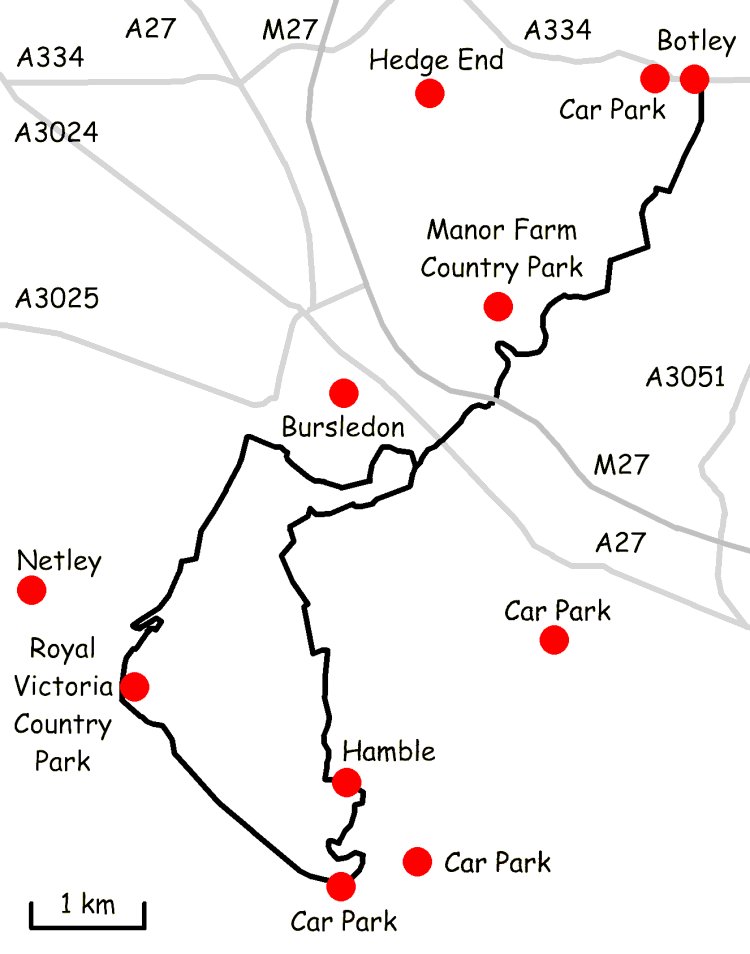
Botley is located at Grid Ref: SU5012 (Lat: 50.909301, Lng: -1.281871)

Administrative County: Hampshire

District: Eastleigh

Police Authority: Hampshire

What 3 Words

///notion.tactical.polices. Near Botley, Hampshire

Nearby Locations

Gould Copse Botley

Related Wikis

Edward Sparshott

Edward Sparshott (3 March 1788 – 9 November 1873) was an English officer of the Royal Navy, serving during the Napoleonic Wars. As midshipman on HMS Centaur...

Strawberry Trail

The Strawberry Trail is a 15-mile footpath through Hampshire, England The trail is part linear and part circular. The linear section connects Botley to...

Botley, Hampshire

Botley is a historic village in Hampshire, England. The village was once described as "the most delightful village in the world" by 18th century journalist...

River Hamble Country Park

River Hamble Country Park is a 144.1-hectare (356-acre) Local Nature Reserve which runs along the west bank of the River Hamble between the villages of...

Upper Hamble Estuary and Woods

Upper Hamble Estuary and Woods is a 151.2-hectare (374-acre) biological Site of Special Scientific Interest east of Southampton in Hampshire. It is part...

HMS Cricket (shore establishment)

HMS Cricket was the name given to a Royal Navy shore establishment on the River Hamble from 1943 to 1946. This name was previously used by the Insect-class...

Hedge End

Hedge End is a town and civil parish in Hampshire, England. Situated to the east of the City of Southampton, it adjoins the districts of West End and Botley...

Botley railway station

Botley railway station serves Botley and the surrounding areas in the English county of Hampshire. The station is on the railway line between Eastleigh...

Nearby Amenities

Located within 500m of 50.909301,-1.281871
Crossing: informal
Lat/Long: 50.9103525/-1.280809
Post Box
Collection Plate: CP5
Post Box Mounting: brick_pillar
Post Box Type: wall
Ref: SO30 334
Royal Cypher: EVIIR
Royal Cypher Wikidata: Q33102324
Lat/Long: 50.9103306/-1.2808611
Material: wood
Power: pole
Source: bing
Lat/Long: 50.9086437/-1.2862408
Material: wood
Power: pole
Source: bing
Lat/Long: 50.9096516/-1.2855042
Material: wood
Power: pole
Source: bing
Lat/Long: 50.9108515/-1.2846466
Material: wood
Power: pole
Source: bing
Lat/Long: 50.9116633/-1.2840227
Material: wood
Power: pole
Source: bing
Lat/Long: 50.9128043/-1.2832236
Barrier: kissing_gate
Lat/Long: 50.9092318/-1.2755426
Turning Loop
Lat/Long: 50.9087033/-1.2818615
The data included in this document is from www.openstreetmap.org. The data is made available under ODbL.

Have you been to Botley?

Leave your review of Botley below (or comments, questions and feedback).