Bothel and Threapland

Civil Parish in Cumberland Allerdale

England

Bothel and Threapland

Trees on Clints Crags Looking east to Binsey.
Trees on Clints Crags Credit: Ian Taylor

Bothel and Threapland is a civil parish located in the county of Cumberland, in the northwest region of England. Situated in the district of Allerdale, the parish covers an area of approximately 10 square kilometers and is home to a population of around 500 residents.

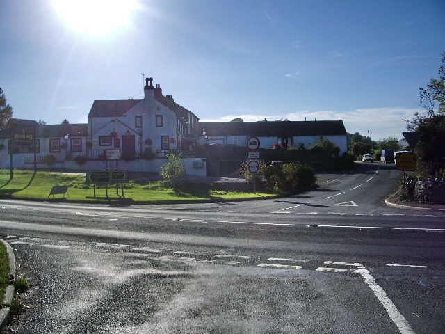
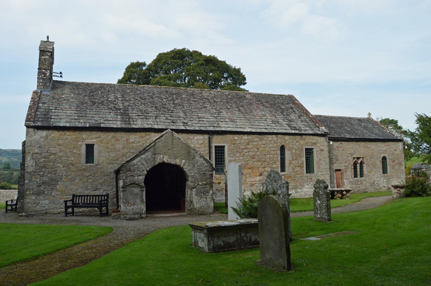
Bothel, the larger of the two villages, is located in the northern part of the parish. It is a picturesque village with a rich history, dating back to the medieval period. The village is characterized by its charming stone houses, traditional cottages, and a beautiful church, St. Michael's, which dates back to the 12th century. Bothel also features a primary school, a village hall, and a pub, providing essential amenities for its residents.

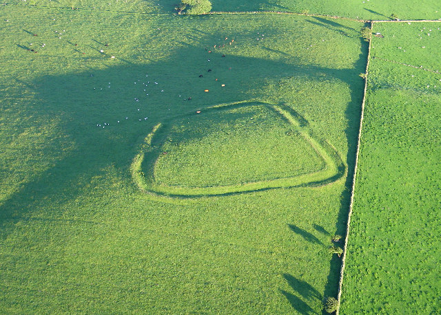
Threapland, the smaller village, is located in the southern part of the parish. It is a rural area with a tranquil and scenic environment. The village is predominantly agricultural, with open fields and farmlands surrounding it. Threapland is known for its peaceful atmosphere and is a popular destination for those seeking to escape the hustle and bustle of city life.

Bothel and Threapland are well-connected to other towns and cities in the region through road networks, making it easily accessible for visitors and commuters alike. The parish offers a mix of rural charm, historical significance, and a close-knit community, making it an attractive place to live or visit for those seeking a peaceful and idyllic setting in the heart of Cumberland.

If you have any feedback on the listing, please let us know in the comments section below.

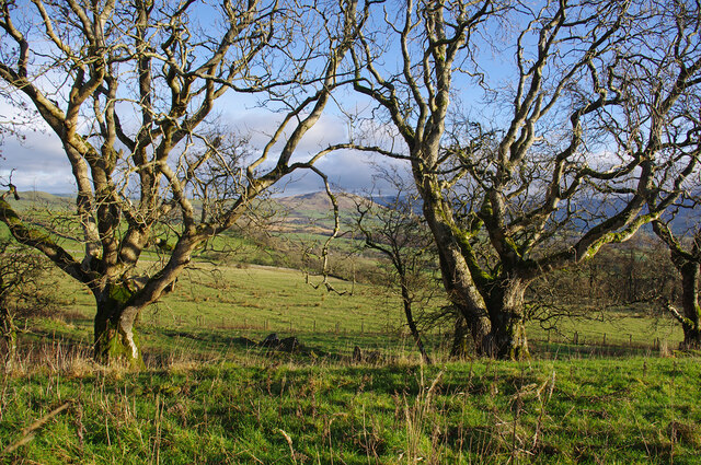
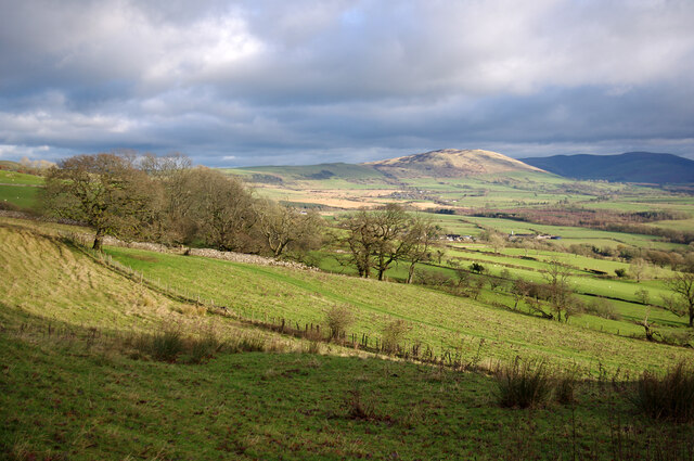
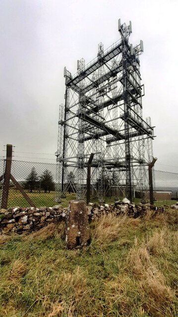
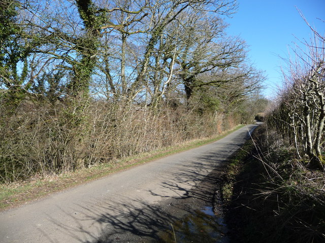
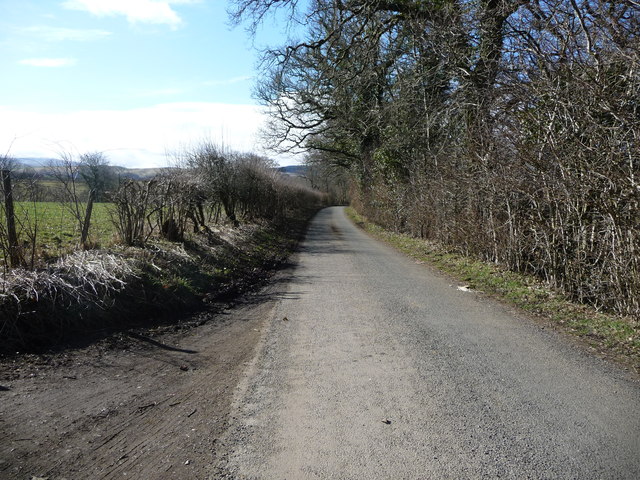
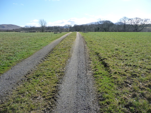
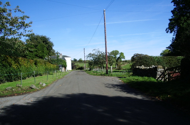
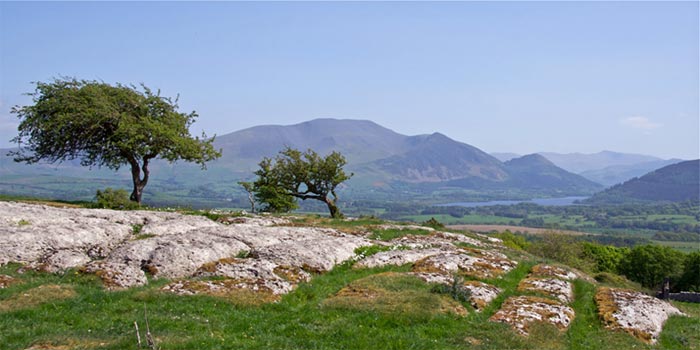
Bothel and Threapland Images

Images are sourced within 2km of 54.718274/-3.280759 or Grid Reference NY1736. Thanks to Geograph Open Source API. All images are credited.

Trees on Clints Crags Looking east to Binsey.
Trees on Clints Crags
Looking east to Binsey.
Eastern slopes of Clints Crags Binsey is in the distance.
Eastern slopes of Clints Crags
Binsey is in the distance.
Beckgrains Bridge Scrubland at Beckgrains Bridge
Beckgrains Bridge
Scrubland at Beckgrains Bridge
Field gateway on NW side of A595 Ordnance Survey records indicate that a benchmark levelled at 173.331m above Newlyn Datum was verified in 1969 on the right hand gatepost at the gateway
Field gateway on NW side of A595
Ordnance Survey records indicate that a benchmark levelled at 173.331m above Newlyn Datum was verified in 1969 on the right hand gatepost at the gateway
Benchmark on top of old gatepost on SE side of A595 opposite Wharrels Hill Ordnance Survey pivot benchmark levelled at 208.547m above Newlyn Datum verified 1969
Benchmark on top of old gatepost on SE side of A595 opposite Wharrels Hill
Ordnance Survey pivot benchmark levelled at 208.547m above Newlyn Datum verified 1969
Gateway to field on SE side of A595 near wind farm opposite Wharrels Hill There is an Ordnance Survey benchmark <a href="https://www.geograph.org.uk/photo/7676020">NY1738 : Benchmark on top of old gatepost on SE side of A595 opposite Wharrels Hill</a> on top of the old stone gatepost at the right hand side of the gateway
Gateway to field on SE side of A595 near wind farm opposite Wharrels Hill
There is an Ordnance Survey benchmark NY1738 : Benchmark on top of old gatepost on SE side of A595 opposite Wharrels Hill on top of the old stone gatepost at the right hand side of the gateway
Benchmark on Wharrels Hill triangulation pillar Ordnance Survey flush bracket (serial identifier S5709) benchmark levelled at 221.217m above Newlyn Datum in 1969
Benchmark on Wharrels Hill triangulation pillar
Ordnance Survey flush bracket (serial identifier S5709) benchmark levelled at 221.217m above Newlyn Datum in 1969
Communications masts on Wharrels Hill There is an Ordnance Survey triangulation pillar, <span class="nowrap"><a title="https://trigpointing.uk/trig/6858" rel="nofollow ugc noopener" href="https://trigpointing.uk/trig/6858">Link</a><img style="margin-left:2px;" alt="External link" title="External link - shift click to open in new window" src="https://s1.geograph.org.uk/img/external.png" width="10" height="10"/></span> , in the foreground which has a benchmark  bracket <a href="https://www.geograph.org.uk/photo/7676080">NY1738 : Benchmark on Wharrels Hill triangulation pillar</a> set into its front face
Communications masts on Wharrels Hill
There is an Ordnance Survey triangulation pillar, LinkExternal link , in the foreground which has a benchmark bracket NY1738 : Benchmark on Wharrels Hill triangulation pillar set into its front face
A591 passing Lowmoor The A591 heading towards Keswick. Binsey is the hill at the left side of the image. The cream coloured flowers at the left side of the road are meadowsweet - Filipendula ulmaria.
A591 passing Lowmoor
The A591 heading towards Keswick. Binsey is the hill at the left side of the image. The cream coloured flowers at the left side of the road are meadowsweet - Filipendula ulmaria.
Old Milestone by the A595, Threapland Holiday Park Metal plate attached to stone post by the A595, in parish of Bothel and Threapland (Allerdale District) opposite garden centre in field, near Threapland Park on North-west side of road. Carlisle red stone and curved plate, erected by the Cockermouth & Carlisle turnpike trust in the 19th century. Badly broken and out of place.

Inscription reads:-
CARLISLE
21 MILES
WIGTON
10 MILES
COCKERMOUTH
5½  

Milestone Society National ID: CU_CLCM21
Old Milestone by the A595, Threapland Holiday Park
Metal plate attached to stone post by the A595, in parish of Bothel and Threapland (Allerdale District) opposite garden centre in field, near Threapland Park on North-west side of road. Carlisle red stone and curved plate, erected by the Cockermouth & Carlisle turnpike trust in the 19th century. Badly broken and out of place. Inscription reads:- CARLISLE 21 MILES WIGTON 10 MILES COCKERMOUTH 5½ Milestone Society National ID: CU_CLCM21
The road to Sunderland (Allerdale, Cumbria) The roadside trees are watered by Kiln Beck.
The road to Sunderland (Allerdale, Cumbria)
The roadside trees are watered by Kiln Beck.
The road from Sunderland (Allerdale, Cumbria) Descending to Blumer Bridge.
The road from Sunderland (Allerdale, Cumbria)
Descending to Blumer Bridge.
Farmland south of Sunderland (Allerdale, Cumbria) The half-hidden trees are on the banks of Blumer Beck.
Farmland south of Sunderland (Allerdale, Cumbria)
The half-hidden trees are on the banks of Blumer Beck.
Track to the sewage works near Sunderland The installation is on the northern bank of Blumer Beck, where the trees are.
Track to the sewage works near Sunderland
The installation is on the northern bank of Blumer Beck, where the trees are.
Farmland near Sunderland (Allerdale, Cumbria) Looking north-east towards Westray House, on the edge of the hamlet.
Farmland near Sunderland (Allerdale, Cumbria)
Looking north-east towards Westray House, on the edge of the hamlet.
The road from Sunderland to Bothel Climbing northwards.
The road from Sunderland to Bothel
Climbing northwards.
Farm track, heading west from the Bothel road On the northern edge of Sunderland.
Farm track, heading west from the Bothel road
On the northern edge of Sunderland.
The road from Bothel to Sunderland Descending southwards.
The road from Bothel to Sunderland
Descending southwards.
Show me another place!

Bothel and Threapland is located at Grid Ref: NY1736 (Lat: 54.718274, Lng: -3.280759)

Administrative County: Cumbria

District: Allerdale

Police Authority: Cumbria

What 3 Words

///defaults.overcomes.resemble. Near Aspatria, Cumbria

Nearby Locations

Bothel and Threapland

Related Wikis

Sunderland, Cumbria

Sunderland is a hamlet and former civil parish, within the Lake District National Park, now in the parish of Blindcrake in the Allerdale district of the...

Clints Crags

Clints Crags is a small fell in the north of the English Lake District near Blindcrake, Cumbria. It has its own chapter in Alfred Wainwright's The Outlying...

Bothel, Cumbria

Bothel is a small village in Cumbria, England. Bothel was historically within Cumberland. == Location == It is situated just off the main A595 road, 18...

Caer Mote

Caer Mote is a hill of 289 metres (948 ft) in the north of the English Lake District near Bothel, Cumbria. Its summit lies just outside the boundary of...

Bothel and Threapland

Bothel and Threapland is a civil parish in Cumbria, England, just outside the Lake District National Park. According to the 2001 census, it had a population...

Isel, Cumbria

Isel is a dispersed settlement and area in the valley of the River Derwent within the Lake District National Park in Cumbria, England. It is an ecclesiastical...

Blindcrake

Blindcrake is a village and civil parish within the Isel Valley, in the Lake District National Park, in Cumbria, England, historically part of Cumberland...

Threapland, Cumbria

Threapland is a hamlet in the civil parish of Bothel and Threapland, in the Cumberland district, in the ceremonial county of Cumbria, England. Nearby settlements...

Nearby Amenities

Located within 500m of 54.718274,-3.280759
Threapland Moss
Place: locality
Lat/Long: 54.7168193/-3.2866408
Power: pole
Lat/Long: 54.7143025/-3.2790504
Power: pole
Lat/Long: 54.7147717/-3.2807101
Power: pole
Lat/Long: 54.7151788/-3.2821632
Power: pole
Lat/Long: 54.7155931/-3.2836555
Power: pole
Lat/Long: 54.7160074/-3.2851312
Power: pole
Lat/Long: 54.7163966/-3.2864809
The data included in this document is from www.openstreetmap.org. The data is made available under ODbL.

Have you been to Bothel and Threapland?

Leave your review of Bothel and Threapland below (or comments, questions and feedback).