Britannia
Settlement in Lancashire Rossendale
England
Britannia
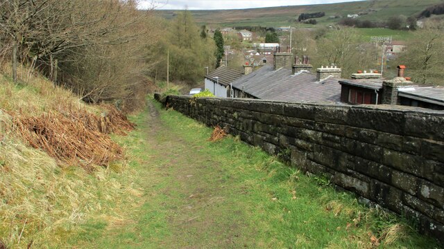
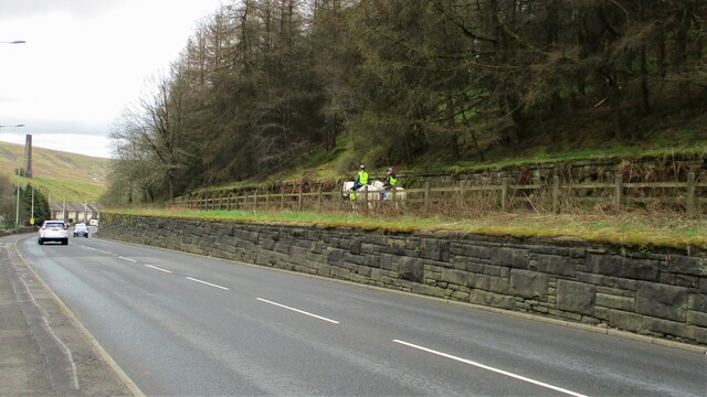
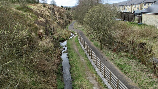
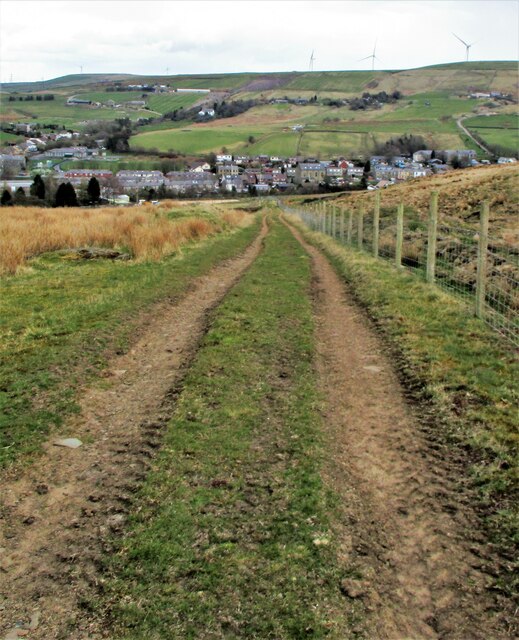
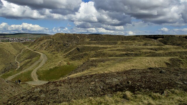
Britannia, Lancashire is a small village located in the borough of Rossendale, in the county of Lancashire, England. Situated in the North West of the country, this picturesque village is nestled in the rolling hills of the Pennines, providing residents and visitors with breathtaking views of the surrounding countryside.
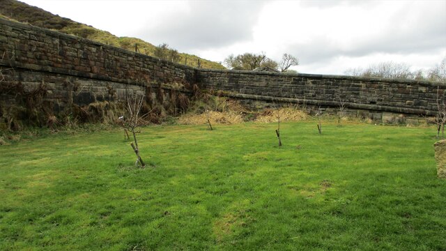
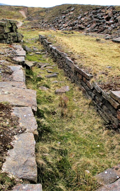
Historically, Britannia was known for its textile industry, with several cotton mills operating in the village during the Industrial Revolution. These mills played a vital role in Lancashire's cotton industry, which was once the backbone of the region's economy.
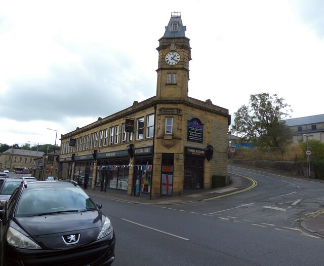
Today, Britannia retains its quaint charm and rural character, attracting those seeking a peaceful and idyllic setting. The village offers a range of amenities, including a local pub, a primary school, and a community center. It is also well-connected to neighboring towns and cities, with good transport links to Manchester and Blackburn.
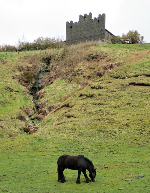
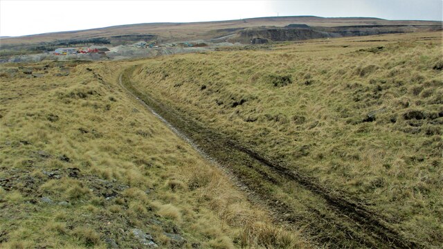
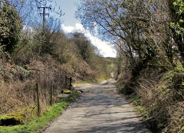
Nature enthusiasts are drawn to Britannia for its proximity to stunning landscapes and outdoor activities. The nearby Rossendale Forest Park provides opportunities for hiking, mountain biking, and wildlife spotting. Additionally, the village is within easy reach of the iconic Pendle Hill, a popular destination for walkers and those interested in its historical associations with the Pendle Witch Trials.
In summary, Britannia, Lancashire is a charming village that combines a rich industrial heritage with natural beauty. Its tranquil setting and convenient location make it an appealing place to live or visit for those seeking a slower pace of life in the heart of the Lancashire countryside.
If you have any feedback on the listing, please let us know in the comments section below.
Britannia Images
Images are sourced within 2km of 53.68927/-2.180622 or Grid Reference SD8821. Thanks to Geograph Open Source API. All images are credited.


Britannia is located at Grid Ref: SD8821 (Lat: 53.68927, Lng: -2.180622)
Administrative County: Lancashire
District: Rossendale
Police Authority: Lancashire
What 3 Words
///decorate.custodian.twig. Near Bacup, Lancashire
Nearby Locations
Related Wikis
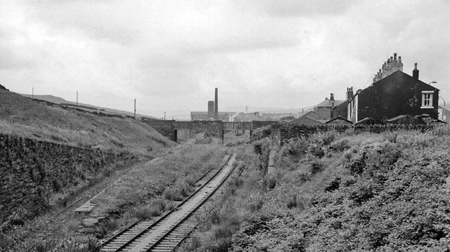
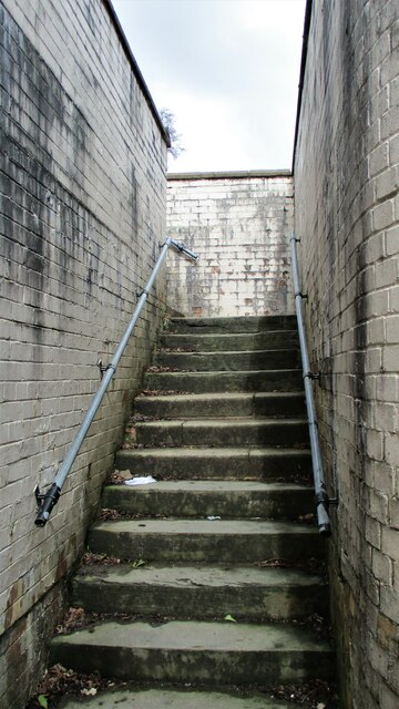
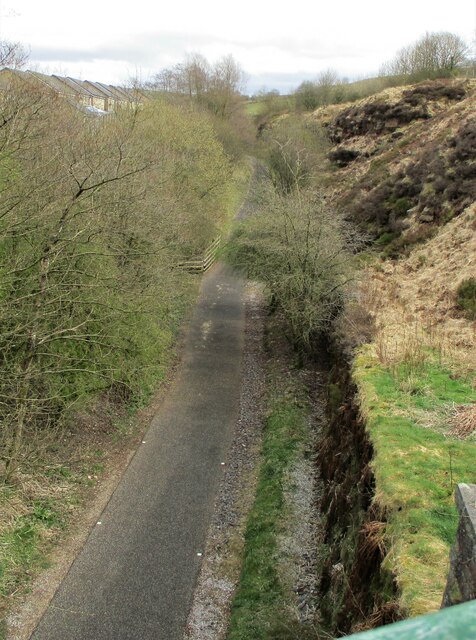
Britannia railway station
Britannia railway station served Britannia near Bacup, Lancashire, England, from 1881 until closure in 1917. The station was just to the west of the summit...

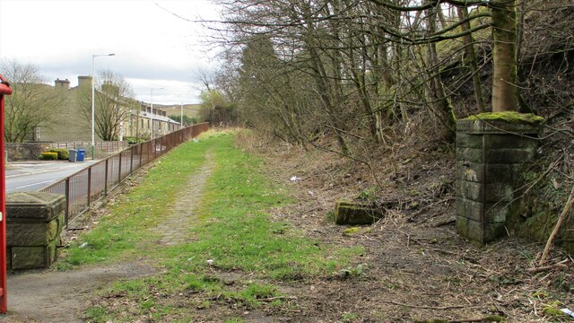
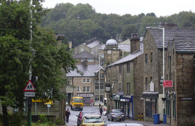
Britannia, Lancashire
Britannia is a suburb of Bacup in the Rossendale borough of Lancashire, England. It lies on the course of two major roads and has a school and a nature...

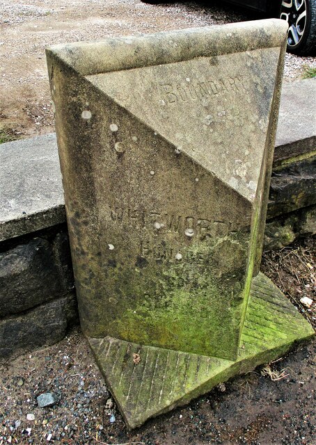
Shawforth
Shawforth ( SHAW-fərth) is a ward in the township of Whitworth within the Rossendale borough of Lancashire, England. It lies amongst the South Pennines...

Shawforth railway station
Shawforth railway station served Shawforth near Bacup, Rossendale, Lancashire, England, from 1881 until closure in 1947. == References == Suggitt, Gordon...

Bacup railway station
Bacup railway station served the town of Bacup, Rossendale, Lancashire, England, from 1852 until closure in 1966 and was the terminus of two lines; one...

Lee Quarry
Lee Quarry is a mountain bike trail located near Bacup and Stacksteads in Rossendale Valley, Lancashire. Originally a working quarry, the quarry alongside...
Bacup
Bacup ( BAY-kəp, ) is a town in the Rossendale Borough in Lancashire, England, in the South Pennines close to Lancashire's boundaries with West Yorkshire...

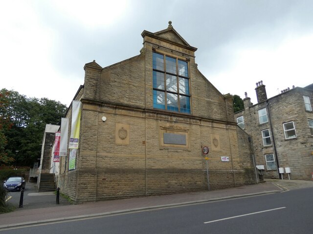
Christ Church, Bacup
Christ Church is in Beech Street, off Todmorden Road, Bacup, Lancashire, England. It is a former Anglican parish church in the deanery of Rossendale, the...
Nearby Amenities
Located within 500m of 53.68927,-2.180622Have you been to Britannia?
Leave your review of Britannia below (or comments, questions and feedback).